Thursday 12th February – Sunday 15th February

Hi all,

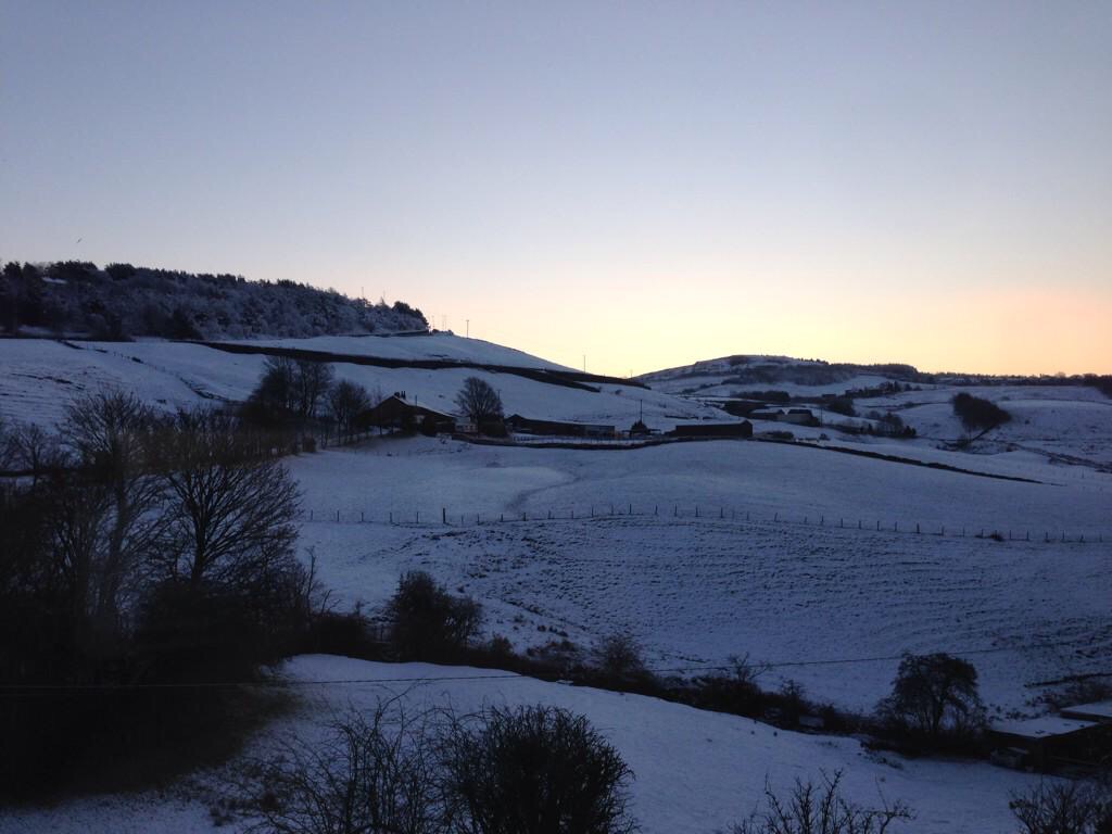
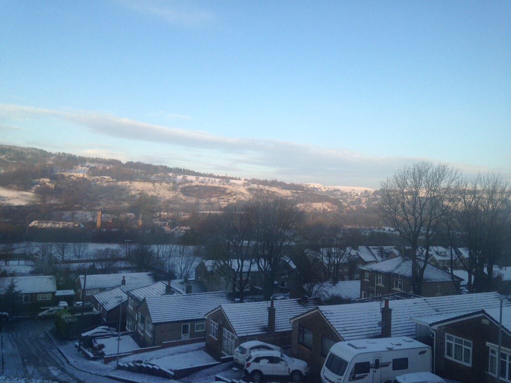
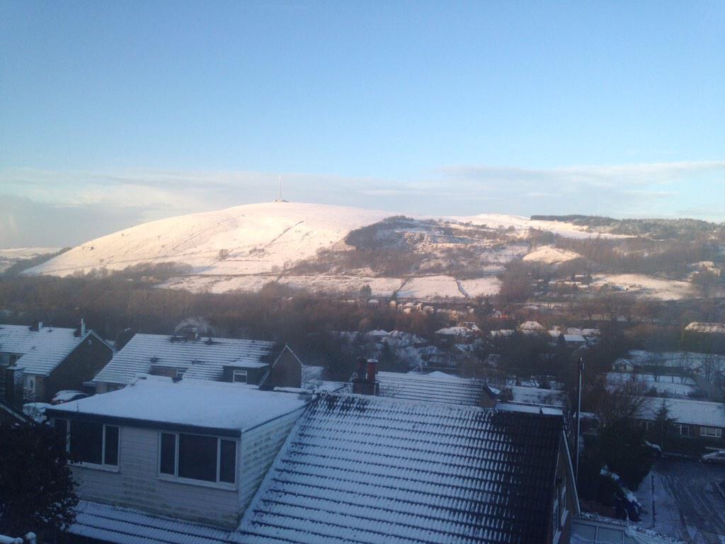
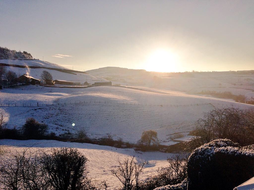
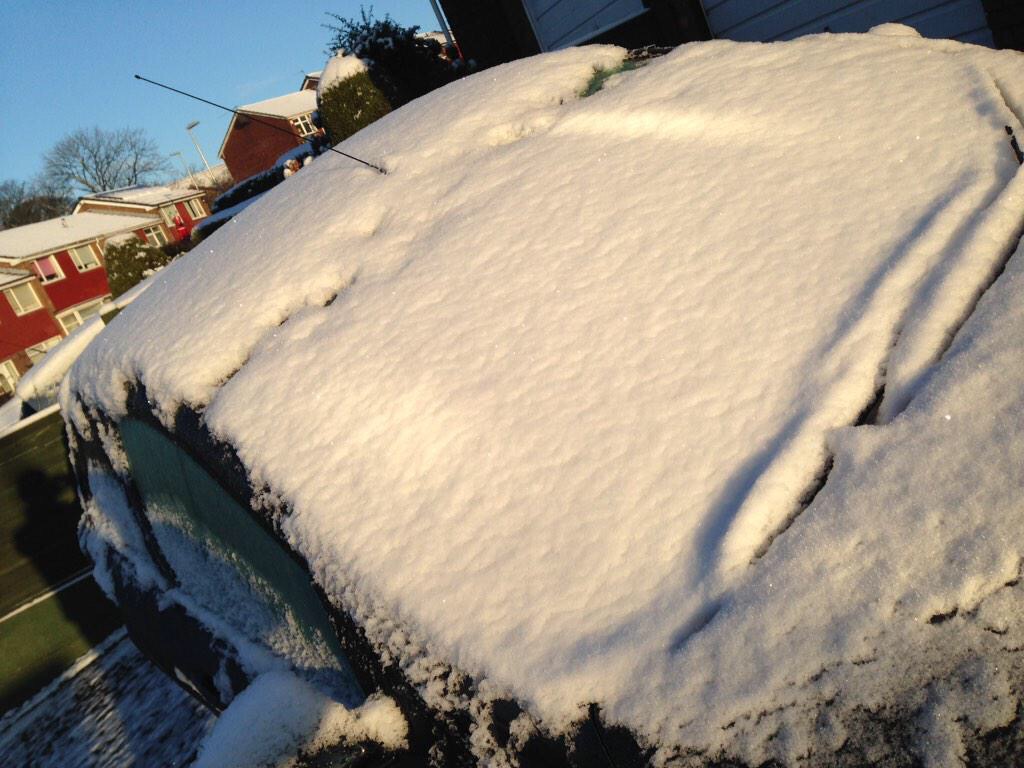
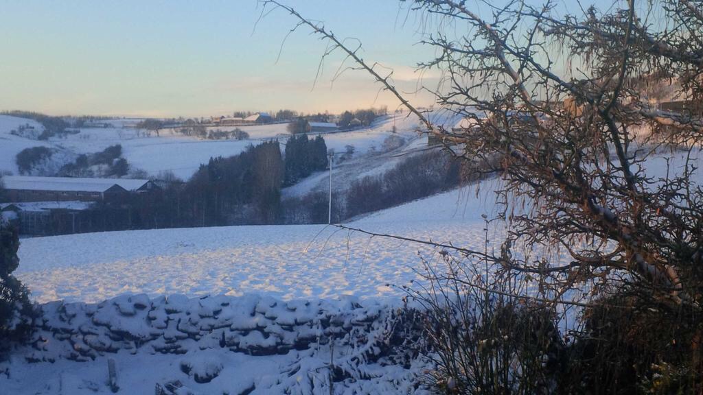
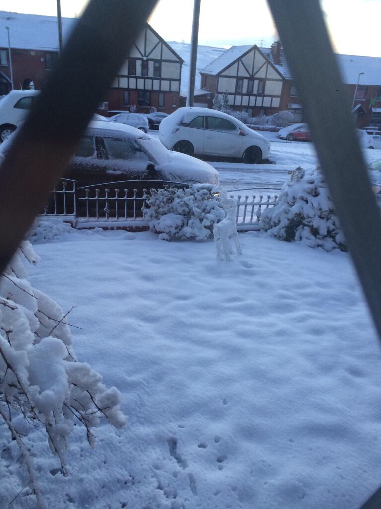
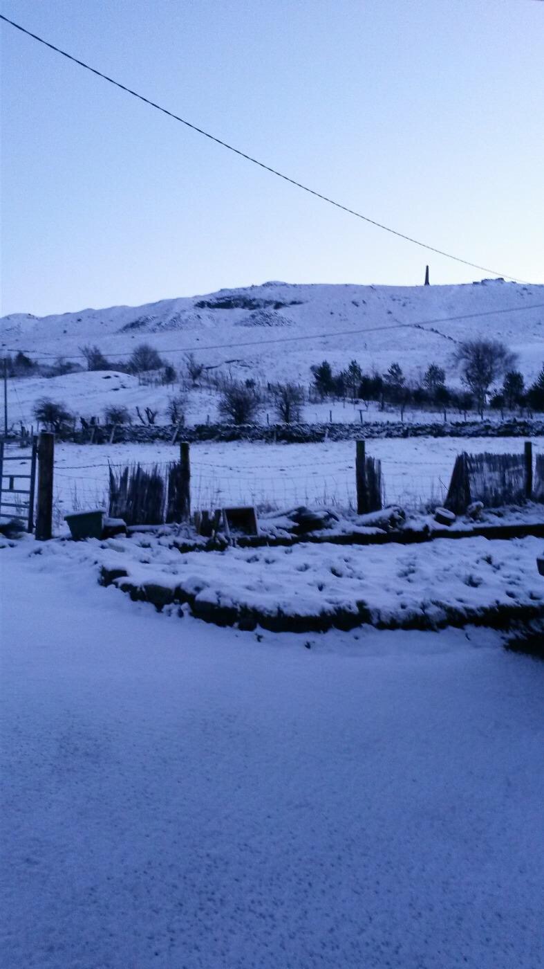
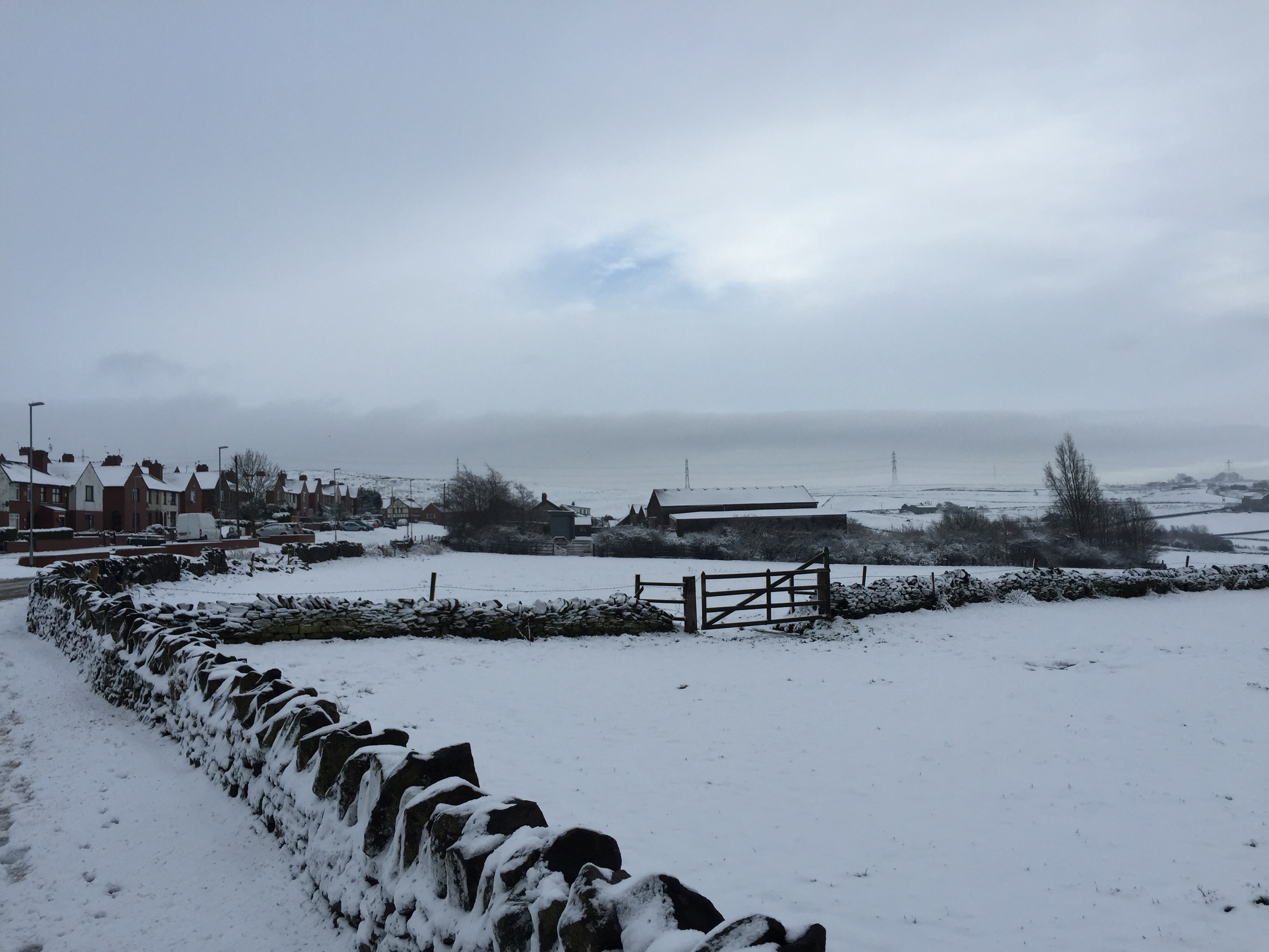
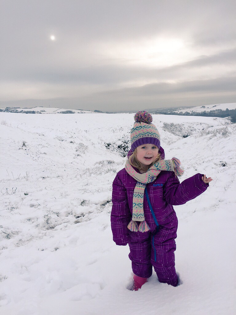
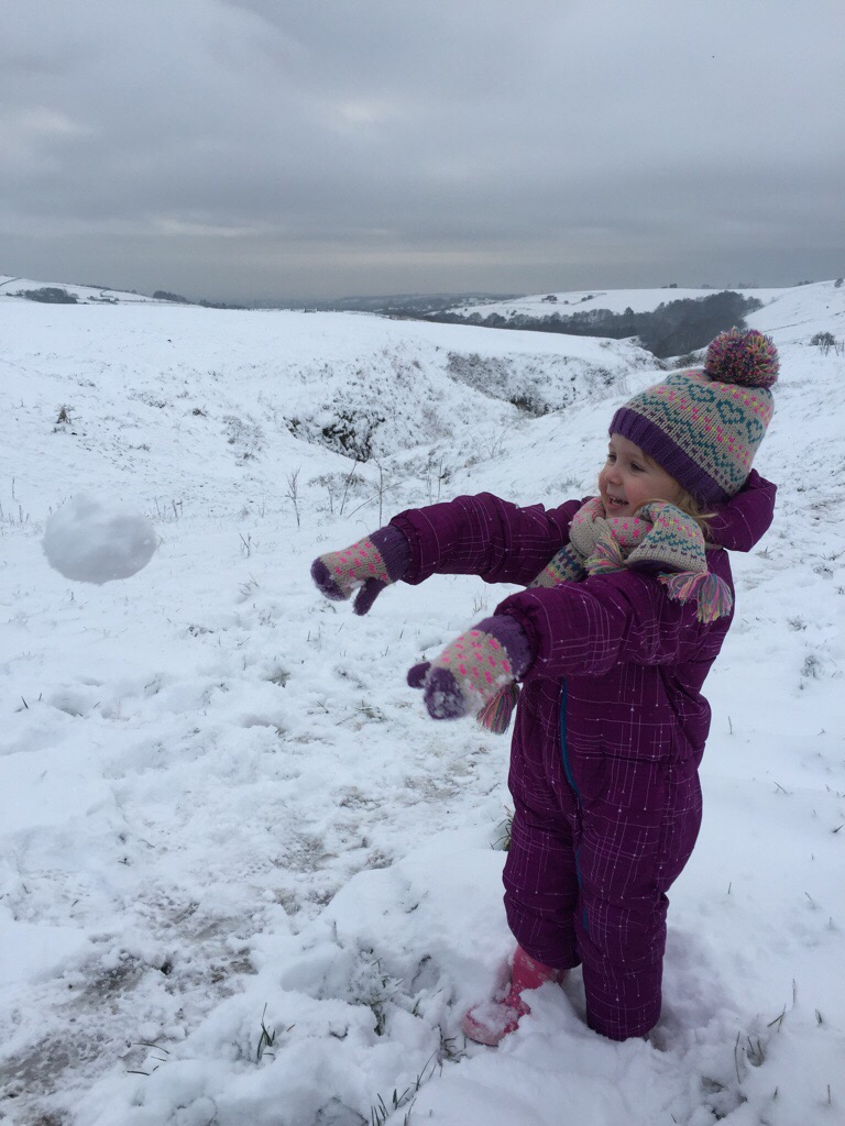
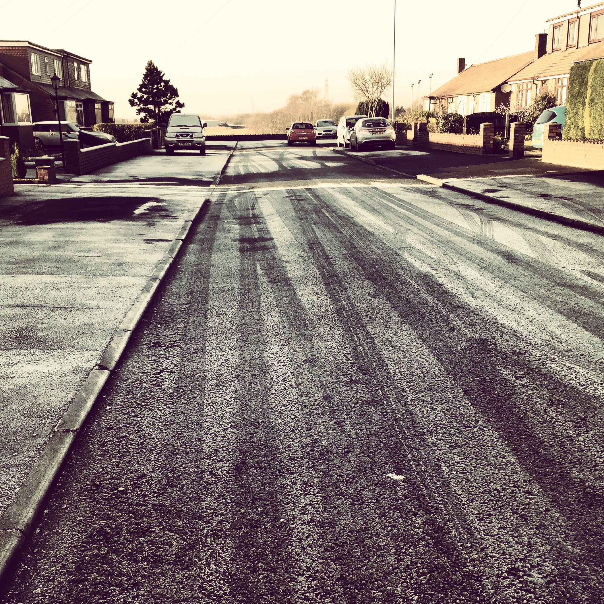
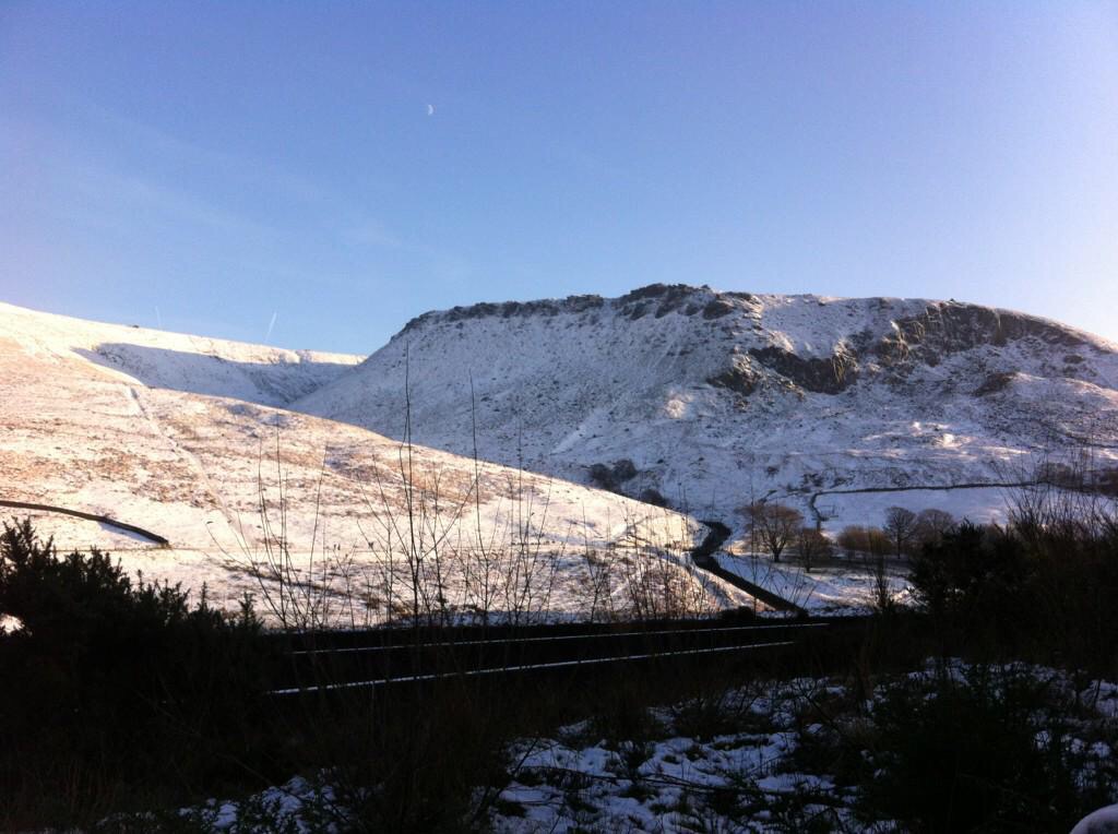
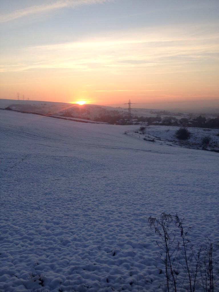
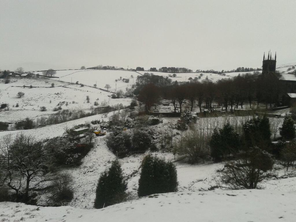
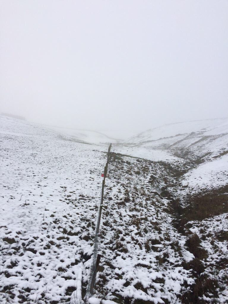
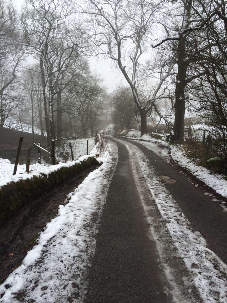
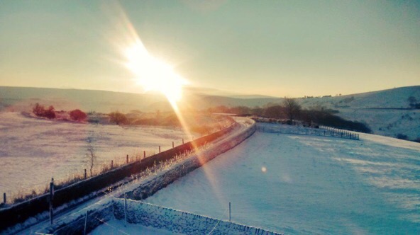
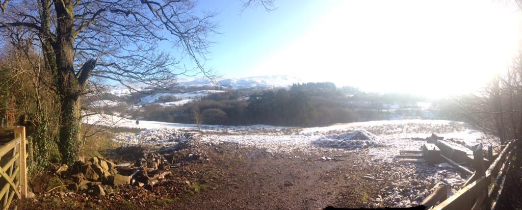
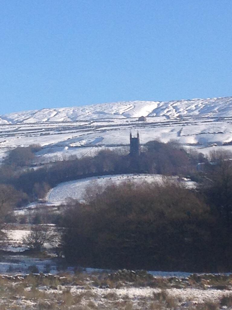
Most of the outlook does look frost-free as we have plenty of cloud-cover and temperatures pick up slightly. If you do sneak some longer clear spells overnight then a frost-risk is there. Some rumours were rife that snow is returning. I can confirm that it isn’t for the foreseeable future. Also, the dry February, apart from the snow, has come as a relief after January had 30 rainy days out of 31!

After a cloudy week Thursday continues in the same vain. An overcast day with most places dry but still a little chilly. Any chance of any brightness towards the east. Max 5°C.

As we go into Friday we see a change. Rain pushes in from the west and with breezy southerly winds it will be a touch milder. Quite windy for time and showery later. Max 8°C.

Saturday will be cloudy with some showers possible during the day but these look to be well-scattered and most places should be dry. Max 8°C.

As we go into Sunday it remains generally cloudy. Some brightness around and it starts to feel like we’re back to square one, settled with light winds. Max 8°C.

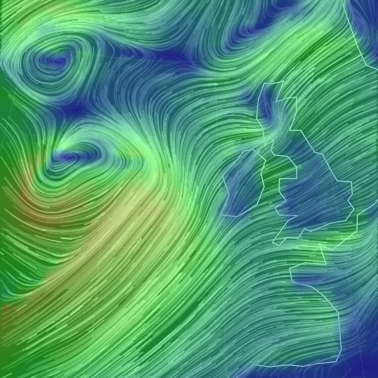
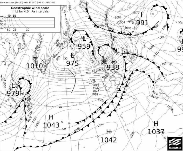
Looking ahead, no sign of anything cold or snowy as high pressure sits close to the UK. Temperatures remain about average and mainly settled with the high pressure to our south-west. We could see some showery rain at times. Has winter finished with us?

Follow, @ChadWeather, on Twitter for your local weather updates and you’ll be the first to know if any colder weather is returning.

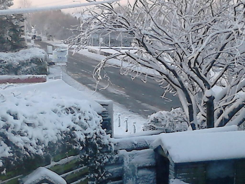
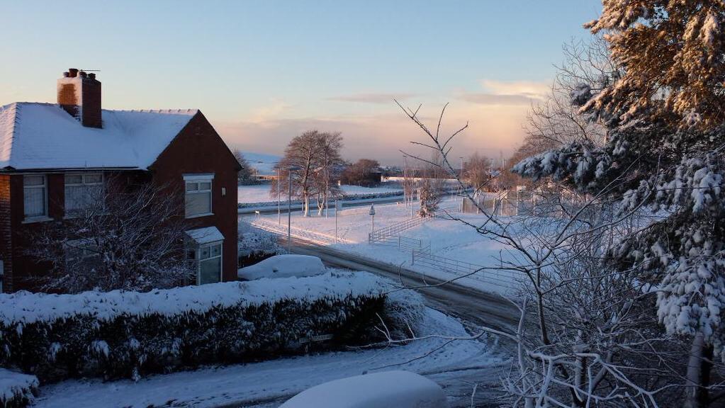
January 2015 Stats: Warmest 12.9°C; Coldest -3.4°C (10 air frosts recorded); Wettest 14.4mm; Windiest 51mph; Total Rainfall 124.6mm.

Cheers
Jon

Thursday 5th February – Sunday 8th February

Hi,

The outlook is showing little variance as high pressure takes control and we slip into a settled period of weather and remain cold. Frost and fog is likely but how foggy and how hard the frosts are, is dependent on cloud-cover as more cloud slips into and around the high pressure from the northwest.

Bright or sunny spells and light winds on Thursday. Cold with a frost early and late especially where skies are clear the longest. Chance of an isolated wintry shower especially to the east. Max 5°C.

Friday cold with overnight patchy frost and bright spells during the day. Likely to see more cloud. Max 5°C.

Saturday and Sunday are very similar. Some clear spells mean a frosty or foggy start to both days and overnight. During the day will see a lot of variable cloud which on Saturday might produce some drizzle. Most areas will be generally cloudy but some sunny spells can’t be ruled out; so hit and miss. Max 5-6°C.

Looking ahead high pressure remains in control which keeps us chilly with a lot of cloud and fog patches. Later in the week, it becomes slowly milder but still a mainly dry picture throughout.

Follow, @ChadWeather, on Twitter for your local weather updates.

Cheers
Jon

Thursday 29th January – Sunday 1st February

Hi,

At least we are having a bit of a winter this time after last year’s poor attempt.

After sleet and snow showers Wednesday night, don’t be surprised to wake up to a snow-cover in some places. The theme continues on Thursday with frequent sleet or snow showers and a strong bitter north-westerly wind making it feel sub-zero. Further accumulations of snow likely in some localised areas, especially on higher ground but as is the case with showers, not everywhere sees enough to give a covering. Max 4’C.

Friday is another day of wintry showers. However it shouldn’t feel as cold with less of a wind and the showers should be more scattered. Still feeling cold though. Max 5’C.

An icy, frosty and maybe foggy start to Saturday. Sunny spells with some scattered sleet and snow showers. Cold breeze from the North Pole. Max 3’C.

Sunday in general looks a drier day with some bright spells. Odd snow shower may persist on the hills. Remaining very cold with a moderate frost early and late. Max 3’C.

Looking ahead high pressure should build in bringing settled conditions but we stay under the influence of cold air so frost and fog become the main concern.

Follow @ChadWeather on Twitter for all your local weather forecasts.

Cheers
Jon

Thursday 22nd January – Sunday 25th January

Hi,

It looks like the very cold spell is set to end.

Thursday will be a very cold day but settled. Mainly cloudy with some local sunny spells and apart from the odd flurry or patch of drizzle it will be dry. Highs of 3°C.

It’s all change as we head into Friday. Cloudy with some rain pushing in from the west which might be preceded by sleet or snow, on higher ground. Winds swing to a south-westerly and hence slowly introduce milder air. Further rain or showers likely into the evening and a thaw of current lying snow begins. Highs of 6°C.

A bit tricky as we head into the weekend. I’m expecting Saturday to be a day of sunny spells and showers. Some maybe wintry with hail or sleet. Maybe an overnight frost. Highs of 5°C.

Sunday looks more of a cloudy day. Any early brightness replaced as light rain comes in again from the west and milder once again. Highs of 8°C.

Looking ahead we get into the pattern we had a few weeks ago. Cold showery days with milder rainy days in between. Temperatures up one day and back down the next.

Follow @ChadWeather for your local weather updates.

Cheers
Jon

Thursday 15th January – Sunday 18th January

Hi all,

We are now into mid-January and mid-winter and having our fair share of gales and rain. It’s not unusual in January but so far we have had more than average. The photo below shows our Wednesday night and Thursday storm brewing nicely in the Atlantic.

After a very windy Wednesday evening we start Thursday with lively weather still present. It will be a day of sunshine and blustery wintry showers and these heavier later into the evening. Feeling cold and winds gusting to gale-force. Highs of 6°C.

Friday sees showers, again wintry so don’t be surprised to see hail, snow and even hear a crack of thunder. A fresh west to north-westerly wind making it feel sub-zero. Highs of 5°C.

We go into Saturday under the influence of a cold airflow. Sunshine and wintry showers. These might merge during the morning with some hill-snow but the tendency is for the showers to ease later in the day. Still cold but the winds will be lighter. Frost and ice overnight. Highs of 4°C.

Sunday looks a reasonable day with some nice winter sunshine and a good chance it stays dry. Winds light so it will be a cold start and a widespread frost will set in after dusk. Highs of 3°C.

Looking ahead it remains cold with some wintry showers and night-frosts. Snow at times might become more likely but I’m not holding my breath.

Follow @ChadWeather on Twitter for your local weather updates.

Cheers
Jon

2015/01/img_5929.jpg

Thursday 8th January – Sunday 11th January

Issued 10am Wed 7th Jan

Hi,

I hope you all enjoyed your Christmas holidays and all the best for 2015. We have a wet and windy outlook in this week’s forecast. Below is a Met Office chart showing a stormy forecast for Saturday with a very deep area of low pressure giving 60-70mph gusts locally and in excess of 100mph gusts in Scotland. Time to fix all that garden furniture down before it ends up halfway down the street.

Thursday will be a showery day but also remaining breezy. Most of the showers will be in the morning and they should ease during the day. Feeling chilly especially in the wind with highs of 7°C.

More active weather on Friday as another low pressure rattles in from the Atlantic with a period of rain during the afternoon and very windy conditions with possible gales. It will turn much milder. Highs of 13°C.

Rain or showers on Saturday morning which should ease slightly later. Another very windy day with gales or even severe gales across the region. Certainly one to keep an eye on with gusts to 70mph possible. Turning colder later. Highs of 11°C but this during the first part of the day. Any overnight showers might be wintry.

Sunshine and showers on Sunday and again the topsy-turvy weather is cold with some of the showers wintry or with hail. Highs of 6°C.

Looking ahead milder again with some rain on Monday then cooler with a breezy and showery theme. Hints at something colder after mid-month.

December 2014 Stats: Warmest 12.2°C; Coldest -2.6°C; Wettest 17.6mm; Windiest 45mph; Total Rainfall 164.2mm (very wet with 26 rainy days!)

Follow @ChadWeather on Twitter for your local weather updates.

Cheers
Jon

/home/wpcom/public_html/wp-content/blogs.dir/5a5/52181690/files/2015/01/img_5563.jpg

Snowy and wintry scenes – 26th-29th December 2014

Rain on the evening of Boxing Day 2014 gradually turned to snow as a low pressure moves south-eastwards and colder air dug in from the north. Most places saw snow but it was all about your height above sea level whether it managed to stick or not. Here in Chadderton we had a slight covering on the cars and grass but you had to go up to the east of Oldham, to the likes of Moorside to see some decent snow. In these hillier areas up to 4 inches of snow fell over a 6-hour period. After the snow came the frost then some freezing fog. Here are a selection of the photos that I had tweeted to me. Thanks to everyone for their stunning photos. I hope you don’t mind me using them. Any issues using them please let me know.

/home/wpcom/public_html/wp-content/blogs.dir/5a5/52181690/files/2014/12/img_5069.jpg

/home/wpcom/public_html/wp-content/blogs.dir/5a5/52181690/files/2014/12/img_5068.jpg

/home/wpcom/public_html/wp-content/blogs.dir/5a5/52181690/files/2014/12/img_5070.jpg

/home/wpcom/public_html/wp-content/blogs.dir/5a5/52181690/files/2014/12/img_5071.jpg

/home/wpcom/public_html/wp-content/blogs.dir/5a5/52181690/files/2014/12/img_5074.jpg

/home/wpcom/public_html/wp-content/blogs.dir/5a5/52181690/files/2014/12/img_5075.jpg

/home/wpcom/public_html/wp-content/blogs.dir/5a5/52181690/files/2014/12/img_5076.jpg

/home/wpcom/public_html/wp-content/blogs.dir/5a5/52181690/files/2014/12/img_5077.jpg

/home/wpcom/public_html/wp-content/blogs.dir/5a5/52181690/files/2014/12/img_5078.jpg

/home/wpcom/public_html/wp-content/blogs.dir/5a5/52181690/files/2014/12/img_5081.jpg

/home/wpcom/public_html/wp-content/blogs.dir/5a5/52181690/files/2014/12/img_5079.jpg

/home/wpcom/public_html/wp-content/blogs.dir/5a5/52181690/files/2014/12/img_5080.jpg

/home/wpcom/public_html/wp-content/blogs.dir/5a5/52181690/files/2014/12/img_5085.jpg

/home/wpcom/public_html/wp-content/blogs.dir/5a5/52181690/files/2014/12/img_5084.jpg

/home/wpcom/public_html/wp-content/blogs.dir/5a5/52181690/files/2014/12/img_5086.jpg

/home/wpcom/public_html/wp-content/blogs.dir/5a5/52181690/files/2014/12/img_5087.jpg

/home/wpcom/public_html/wp-content/blogs.dir/5a5/52181690/files/2014/12/img_5090.jpg

/home/wpcom/public_html/wp-content/blogs.dir/5a5/52181690/files/2014/12/img_5091.jpg

/home/wpcom/public_html/wp-content/blogs.dir/5a5/52181690/files/2014/12/img_5109.jpg

/home/wpcom/public_html/wp-content/blogs.dir/5a5/52181690/files/2014/12/img_5110.jpg

/home/wpcom/public_html/wp-content/blogs.dir/5a5/52181690/files/2014/12/img_5111.jpg

/home/wpcom/public_html/wp-content/blogs.dir/5a5/52181690/files/2014/12/img_5112.jpg

/home/wpcom/public_html/wp-content/blogs.dir/5a5/52181690/files/2014/12/img_5113.jpg

/home/wpcom/public_html/wp-content/blogs.dir/5a5/52181690/files/2014/12/img_5131.jpg

/home/wpcom/public_html/wp-content/blogs.dir/5a5/52181690/files/2014/12/img_5114.jpg

/home/wpcom/public_html/wp-content/blogs.dir/5a5/52181690/files/2014/12/img_5133.jpg

/home/wpcom/public_html/wp-content/blogs.dir/5a5/52181690/files/2014/12/img_5267.jpg

/home/wpcom/public_html/wp-content/blogs.dir/5a5/52181690/files/2014/12/img_5122.jpg

/home/wpcom/public_html/wp-content/blogs.dir/5a5/52181690/files/2014/12/img_5272.jpg

/home/wpcom/public_html/wp-content/blogs.dir/5a5/52181690/files/2014/12/img_5273.jpg

/home/wpcom/public_html/wp-content/blogs.dir/5a5/52181690/files/2014/12/img_5274.jpg

/home/wpcom/public_html/wp-content/blogs.dir/5a5/52181690/files/2014/12/img_5275.jpg

/home/wpcom/public_html/wp-content/blogs.dir/5a5/52181690/files/2014/12/img_5277.jpg

/home/wpcom/public_html/wp-content/blogs.dir/5a5/52181690/files/2014/12/img_5276.jpg

/home/wpcom/public_html/wp-content/blogs.dir/5a5/52181690/files/2014/12/img_5299.jpg

/home/wpcom/public_html/wp-content/blogs.dir/5a5/52181690/files/2014/12/img_5301.jpg

/home/wpcom/public_html/wp-content/blogs.dir/5a5/52181690/files/2014/12/img_5302.jpg

/home/wpcom/public_html/wp-content/blogs.dir/5a5/52181690/files/2014/12/img_5300.jpg

/home/wpcom/public_html/wp-content/blogs.dir/5a5/52181690/files/2014/12/img_5304.jpg

/home/wpcom/public_html/wp-content/blogs.dir/5a5/52181690/files/2014/12/img_5315.jpg

/home/wpcom/public_html/wp-content/blogs.dir/5a5/52181690/files/2014/12/img_5316.jpg

/home/wpcom/public_html/wp-content/blogs.dir/5a5/52181690/files/2014/12/img_5309.jpg

/home/wpcom/public_html/wp-content/blogs.dir/5a5/52181690/files/2014/12/img_5330.jpg

/home/wpcom/public_html/wp-content/blogs.dir/5a5/52181690/files/2014/12/img_5310.jpg

/home/wpcom/public_html/wp-content/blogs.dir/5a5/52181690/files/2014/12/img_5329.jpg

/home/wpcom/public_html/wp-content/blogs.dir/5a5/52181690/files/2014/12/img_5331.jpg

/home/wpcom/public_html/wp-content/blogs.dir/5a5/52181690/files/2014/12/img_5333.jpg

/home/wpcom/public_html/wp-content/blogs.dir/5a5/52181690/files/2014/12/img_5334.jpg

/home/wpcom/public_html/wp-content/blogs.dir/5a5/52181690/files/2014/12/img_5356.jpg

/home/wpcom/public_html/wp-content/blogs.dir/5a5/52181690/files/2014/12/img_5357.jpg

/home/wpcom/public_html/wp-content/blogs.dir/5a5/52181690/files/2014/12/img_5361.jpg

/home/wpcom/public_html/wp-content/blogs.dir/5a5/52181690/files/2014/12/img_5355.jpg

/home/wpcom/public_html/wp-content/blogs.dir/5a5/52181690/files/2014/12/img_5363.jpg

/home/wpcom/public_html/wp-content/blogs.dir/5a5/52181690/files/2014/12/img_5362.jpg

/home/wpcom/public_html/wp-content/blogs.dir/5a5/52181690/files/2014/12/img_5364.jpg

/home/wpcom/public_html/wp-content/blogs.dir/5a5/52181690/files/2014/12/img_5365.jpg

/home/wpcom/public_html/wp-content/blogs.dir/5a5/52181690/files/2014/12/img_5366.jpg

/home/wpcom/public_html/wp-content/blogs.dir/5a5/52181690/files/2014/12/img_5370.jpg

/home/wpcom/public_html/wp-content/blogs.dir/5a5/52181690/files/2014/12/img_5367.jpg

/home/wpcom/public_html/wp-content/blogs.dir/5a5/52181690/files/2014/12/img_5373.jpg

/home/wpcom/public_html/wp-content/blogs.dir/5a5/52181690/files/2014/12/img_5374.jpg

/home/wpcom/public_html/wp-content/blogs.dir/5a5/52181690/files/2014/12/img_5375.jpg

/home/wpcom/public_html/wp-content/blogs.dir/5a5/52181690/files/2014/12/img_5385.jpg

/home/wpcom/public_html/wp-content/blogs.dir/5a5/52181690/files/2014/12/img_5386.jpg

/home/wpcom/public_html/wp-content/blogs.dir/5a5/52181690/files/2014/12/img_5388.jpg

/home/wpcom/public_html/wp-content/blogs.dir/5a5/52181690/files/2014/12/img_5392.jpg

/home/wpcom/public_html/wp-content/blogs.dir/5a5/52181690/files/2014/12/img_5393.jpg

/home/wpcom/public_html/wp-content/blogs.dir/5a5/52181690/files/2014/12/img_5394.jpg

Thursday 1st January 2015 – Sunday 4th January 2015

Issued Tuesday 29th of December at 11:45am

Hi all,

I hope you all enjoyed the Christmas festivities and for some of you, you got the added bonus of snow on Boxing Day.

Are we going to see anymore snow in the foreseeable future? It doesn’t look on the cards even into early January.

After several days of cold frosty and even foggy weather it gets milder through Wednesday night. Therefore Thursday will be much milder with rain coming in from the west on a stiff southwesterly breeze becoming heavier later in the day. Highs 11’C.

Rain around on Friday morning will slowly clear southeastwards but doing so introduces cooler air so temperatures dropping during the day. Following the rain, bright spells and some showers. Breezy. Highs of 8’C.

The weekend looks cold with some showers on Saturday which could be wintry in places with some hail. The breeze making it feel quite chilly again. Highs of 6’C.

Sunday looks a bit more settled at the moment with bright spells and lighter winds. It could stay dry but we can’t rule out a shower. Highs of 6’C.

Looking ahead it remains showery with temperatures about average.

Keep up to date with your local weather by following @ChadWeather on Twitter.

All the best for 2015.

Cheers
Jon

Thursday 18th December – Sunday 21st December

Hi All,

The question on everyone’s lips is. “Will it snow on Christmas Day?”. I’m afraid the prospect at the moment isn’t looking good. Latest forecasts suggest temperatures around 7°C and windy with showers. A bit of a let-down especially for snow-lovers like myself.

Thursday will be very mild with spells of rain or showers. It will also be quite windy at times. Highs of 13°C.

Overnight and into the following morning, the rain pushes away and introduces much colder air leaving Friday as bright, windy and fresh with wintry showers. The wind making it feel much colder than Thursday. Highs of only 7°C.

The unsettled theme continues into Saturday with cold, breezy conditions bringing some heavy showers with hail possible but milder during the day. Highs of 7°C.

All change again into Sunday. A band of rain sweeps in from the west early on but it turns patchy and it turns milder again with southwesterly winds back in charge. Windy too. Highs of 10°C.

Looking ahead into Christmas Week and it seems weather sourced from the Atlantic stays in charge, briefly. So expect mild conditions with showery rain at times to start then maybe colder on Tuesday before milder again for Christmas Day. There is a slight hint of something colder on or after Boxing Day which might bring snow.

I would like to wish you all a very Merry Christmas and all the best for 2015.

Follow @ChadWeather on Twitter for local weather updates.

Cheers
Jon

Thursday 11th December – Sunday 14th December

Updated Wed 10th December at 17:15

Hi All,

The unsettled and the generally cold, windy weather continues.

Thursday sees the windy conditions stick around with strong gusts especially in the showers. Some of the showers will be wintry with hail. Feeling cold. Heavy rain with strong winds push in from the west later on and overnight with further windy weather with hill-snow possible and even possible to lower levels. Max 6’C.

As we enter Friday the rain could turn to snow before it quickly moves away and the wind turns to a more north-westerly direction so turning colder with some wintry showers and snow is possible again especially on the hills. Again windy but also some welcome sunny spells. Max 5’C.

Friday night might see a more organised band of wintry mix spread down from the north but it’s low risk and it is more likely just to be icy and a frosty overnight.

Saturday dawns cold with a frost but will be a better day with some sunshine on offer but feeling cold with a fresh north-westerly wind. Sleet or snow showers are not to be ruled out but these will be very well scattered. Max 5’C.

A chilly start on Sunday but any brightness will be replaced with more cloud from the southwest and it will turn milder and breezy. Rain developing during the day but mainly patchy and not too heavy. Max 8’C.

Looking ahead it’s briefly milder before another colder spell brings wintry showers and frost. This cycle repeats throughout the week.

Next week I’ll give you a peek at Christmas Day.

Follow @ChadWeather on Twitter for your local weather updates.

Cheers
Jon