Slightly cooler then Sunny Spells and Showers – Thursday 19th May 2022 – Sunday 22nd May 2022

Hi all,

It’s been a warm and humid few days with temperatures sneaking into the 20s and Tuesday was the warmest day of the year so far but a change is on the way. Certainly no sign of a heatwave. My hunch is, mid- to late-June could see some high temperatures, 30°C+ in some parts of the UK. Not a forecast, just a feeling.

The sun is now strong so high UV levels occuring for a few hours either side and throughout lunchtime. Sun-cream needed if you’re out and about. UV levels of 6 to 7. The sun’s strength is equal to mid- to late-July.

Thursday: A lovely day with plenty of warm sunny spells developing after a cloudy start in a few places. High UV. Temperatures a touch down on previous days. Max 19°C

Friday: Turning cloudier with low pressure arriving from the west. Dry for the morning but patchy rain pushing in as the day progresses turning showery towards evening. Cooler. Max 15°C

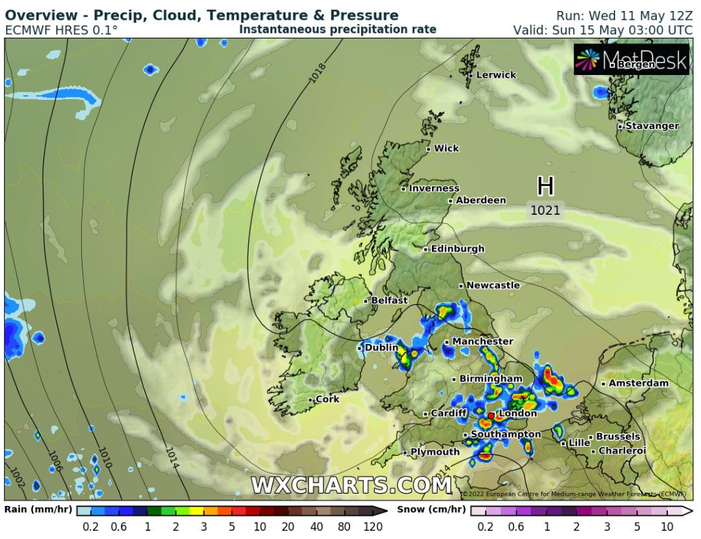
Weekend: Fresher with a westerly airflow.

Saturday: Temperatures back to normal with a breezy day expected. Sunny spells and isolated showers. Max 16°C

Sunday: Another day of bright or sunny spells with a few showers. Hopefully not as windy. Max 17°C

Outlook: High pressure in the Atlantic with a cool WNW’ly airflow bringing occasional showers. Drier towards the end of the week. Temperatures in the mid-teens or just above. Those early-20°C values nowhere to be seen.

Follow @ChadWeather on Twitter for the latest forecasts and warnings.

Thanks,
Jon

Forecast Issued: Wednesday the 18th of May 2022 at 9:40pm

Becoming warmer with thundery potential – Thursday 12th May 2022 – Sunday 15th May 2022

Hi all,

Temperatures are set to rise and so will the humidity. Those mixed together does not always mean dry conditions. After a few warmer and dry days, next week is looking a bit of a mixed bag.

Thursday: Variable cloud with some sunny spells at times. Windy but pleasant in any sunshine. Rogue shower possible but unlikely so most will stay dry. Max 14°C

Friday: More in the way of warm sunny spells as the day wears on but still windy with 30-35mph gusts taking the edge off the temperature. Max 18°C

Weekend: High pressure builds in but the shower risk increases into Sunday.

Saturday: Sunny spells and overall a bit warmer and noticeable with winds easing. High UV levels. Promises to be a decent day. Max 20°C

Thundery shower potential overnight Saturday into Sunday

Sunday: A warm day with sunny spells. Cloud will bubble around lunchtime/early-afternoon and the breeze will pick up. Chance of an isolated thundery downpour later, especially towards the Peak District. A little humid. Max 19°C

Outlook: The week was looking promising with sunny spells and dry pleasant conditions but that has now changed. It will remain warm, and a little muggy with temperatures into the late-teens but the air will be unstable at times so expect some lively, possibly thundery showers thrown in with the sunny spells. This set-up will certainly see the garden spring into life even more!

Periods of hefty, possibly thundery rain next week as temperatures stay warm with humid unstable air

Follow @ChadWeather on Twitter for the latest forecasts and warnings.

Thanks,
Jon

Forecast Issued: Wednesday the 11th of May 2022 at 8:15pm.
Images: http://www.wxcharts.com

Warmer with variable amounts of sunshine – Thursday 5th May 2022 – Sunday 8th May 2022

Hi all,

With summer not too far away it’s time for the heatwave stories to appear in the media. Yes warmer weather is on the way, yes there is a chance of heatwave conditions to be met in parts of England later next week if the forecast comes off but it’s a long way off, so only time will tell. One thing we can never have is a “mini-heatwave”. Just like a “mini-tornado”. There are no such things.

Thursday: Cloudy with bright spells developing here and there. Feeling quite warm. Max 17°C

Friday: A weakening band of rain will slowly sink southeast across the region, mainly during the afternoon. A little cooler due to mostly overcast skies. Max 15°C

Weekend: Sunday’s looking the best and warmer too.

Saturday: Bright spells but there could well be a disappointing amount of cloud as a weather-front decays and high pressure builds. Low risk of an isolated shower or two. Quite muggy. Max 17°C

Sunday: Warm sunny spells developing and feeling humid. Max 19°C

Outlook: A warm southwesterly airflow so temperatures sitting in the late teens. It won’t be sunshine all the way so plenty of cloudy spells with occasional showers and bright or sunny spells. Possibly even warmer, into the early-20s by the end of the week. A plume of very warm air is possible with 26°C not ruled out in southern England.

April 2022 Stats

Max 19.7°C (16th)
Min -0.5°C (9th)
Av. 8.8°C
Wettest 9.8mm (7th)
Av. Humidity 74%
Av. Barometer 1017.3 hPa
Max Gust 34.5mph
Av. Wind Direction NNE
Rain 32.6mm (well below average)
Rain Registered Days 13
Dry Days 17
Air Frosts 4
Snow Falling Days 2

Follow @ChadWeather on Twitter for the latest forecasts and warnings.

Thanks,

Jon

Forecast Issued: Wednesday the 4th of May 2022 at 9:25pm