High pressure to take charge but for how long? – Thursday 18th April 2024 – Sunday 21st April 2024

Hi all,

Busy this week so the blog will be short and sweet.

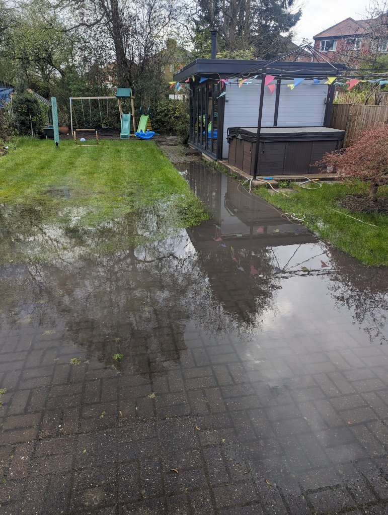
After more rain this week, and some autumnal weather on Monday, bringing strong winds, 20mm of rain, hail & thunder, the weather is slowly but surely becoming more settled and drier but it’s not a smooth passage. Rain is still in the forecast but the high pressure mentioned last week is coming to our shores to dominate for the weekend. As said on a few X posts, it’s not going to be days upon days of wall-to-wall sunshine nor is it going to be that warm. 

Before all that, tonight will be frosty. So gardeners beware.

Thursday: A cold and frosty start for those up early. Sunny spells won’t last too long though as cloud will thicken from the northwest as an area of low pressure topples over the top of the Atlantic high. So patchy rain for the afternoon and lasting into the evening. Temperatures below average. Max 10°C Min 7°C

Friday: A cold-front will have moved south so cooler air across the region and a steady northerly breeze. Bright spells on offer though and it is expected to be mostly dry. Max 10°C Min 3°C

The high’s location over the UK; means colder air won’t be too far away to the east.

Weekend: High pressure on top of the UK.

Saturday: The position of the high pressure is crucial and the way it is positioned this weekend means there will be colder air lurking to the east. So west is best in shelter for higher temperatures. Overall dry with sunny spells, cloudier in the east at times. Max 13°C Min 5°C

It’s been 3 months since an area of high pressure was over the UK.

Sunday: It looks set to be cloudier than Saturday as we drag in a northeasterly airflow and with it stubborn areas of cloud. This will make it feel cool. Any brightness further west. Can’t rule out cloud thick enough for drizzle on the tops. Max 13°C Min 6°C

Outlook: It would only take the high to drift a little further east for temperatures to be 3 to 4 degrees higher. But, as we enter the working week it looks like the high will drift back west allowing the northerly wind to return bringing colder air again. That said, plenty of dry weather up to midweek then it becomes uncertain; mostly likely outcome is the high drifts away and unsettled showery conditions return.

Follow @ChadWeather on X for the latest forecasts and warnings.

Thanks for reading as always.

Jon

Forecast Issued: Wednesday the 17th April 2024 at 7:37pm

Images: http://www.metrocentre.com & http://www.wxcharts.com

Warm then cooler and generally staying unsettled – Thursday 11th April 2024 – Sunday 14th April 2024

Hi all,

April has started as what seems to be the norm these days with yet more rain, unsettled conditions and named-storms. We have already had 98% of the average April rainfall in the first third of the month. It’s been relentless and we are still yet to see a dry day this month.

As I said last week, it’s got to end sometime. So are we on the cards for a beautiful May? At this stage looking to mid-month and just after, there isn’t any concrete signs of it settling down, apart from the chance of an area of high pressure building. We are getting the odd warmer day and when the sun’s out it does feel very pleasant indeed but the rain keeps coming.

Having the odd dry day here and there is not good enough. We need a prolonged dry spell and I mean at least 10 days or our gardens will continue to look like this.

Image from @lauraloo_1988 on X.

Thursday: A very mild start with temperatures into double-figures. A morning of some bright or sunny spells and dry. Cloud tending to increase into the afternoon. We will have a warmer airflow, southwesterly, which will be gusty at times but it will lift the temperatures to the late-teens. So despite the breeze it will feel quite warm. Max 18°C Min 11°C

Friday: There might have been some rain overnight as a warm-front brings thicker cloud and this will leave a legacy of cloud which looks set to hang around for most of the day. Unfortunately it might be thick enough at times for some drizzle. Still mild and breezy but not as warm. Some bright spells are possible later in the day. Max 16°C Min 11°C

Weekend: Cooler and showery as low pressure moves in to dominate.

Turning cooler this weekend

Saturday: It’s looking like a day of sunshine and showers. Some of the showers, mostly into the afternoon, will be blustery and possibly heavy with hail and thunder. Cooler air filtering in as the day wears on. Max 14°C Min 6°C

Another low pressure arriving into the weekend bringing a showery and cooler theme

Sunday: Another day of sunshine and showers but hopefully the showers will become more scattered into the afternoon to allow more sunny spells to filter through. Feeling cool though, especially in the breeze. Max 11°C Min 5°C

Outlook: Cool or even feeling cold early next week with showers. Less cold as the week goes on but showers seem to remain, but, some models are showing settled weather later in the week. It’s over a week away so I’m not holding my breath.

High pressure later next week? A long way off so take with a pinch of salt.

Follow @ChadWeather on X for the latest forecasts and warnings.

Thanks,

Jon

Forecast Issued: Wednesday 10th April 2024 at 4:40pm

Images: BBC Weather, @lauraloo_1988 on X & http://www.wxcharts.com.

Warmer for a time but the unsettled theme continues. Hope on the horizon? – Thursday 4th April 2024 – Sunday 7th April 2024

Hi all,

The warmest spell of this year is on the way but it won’t be all BBQs and sun loungers. In fact it’ll be very windy at times and of course more rain is in the forecast.

Plenty more rain to come over the next 10 days

It’s going to be the second half of April at the earliest before we have any chance of seeing a settled, drier and sunnier spell of weather and currently there’s a sniff.

Surely we’re in for a summery May, right?

March 2024 Stats – the month was actually drier-than-average believe it or not

Thursday: It’ll be a mostly cloudy morning, and apart from some drizzle on the hills, it should be dry. Bright spells will break out around lunchtime and into the early afternoon which might trigger off an isolated shower. Temperatures will also pick up a little before rain arrives overnight which could be heavy at times. Max 13°C Min 8°C

Friday: Early rain will clear to a day of sunny spells and showers. The south-to-southwesterly wind will pick up becoming gusty and the showers will be heavy with a risk of hail and thunder. With this warm airflow temperatures will really pick up and it will feel pleasant in any sunshine, but it will be windy. Max 17°C Min 8°C

Southerly winds at times are set to lift the temperatures

Weekend: Warm briefly but windy.

Saturday: Heavy rain overnight will have cleared away to the north. A deep area of low pressure to the west of Ireland will mean it will be a turbulent afternoon with very windy conditions and gusts to 45-50mph. Despite the wind, it will be warm and the warmest day of the year is likely. There will be sunny spells and a few showers which should be well-scattered and mainly to the west. Max 18°C Min 8°C

We are in for a windy weekend

Sunday: A cold-front will have moved through so it will be slightly cooler on Sunday. But, it will be another windy day with sunny spells and showers. Some heavy with hail and thunder. Max 15°C Min 8°C

Outlook: Looking ahead, it looks set to remain unsettled for the week. Yes, there will be some sunny spells at times, but equally there will be showers or longer spells of rain in between. Temperatures remaining on the mild side, occasionally higher and into the mid-teens. It’s a long way off but there are some signs of high pressure taking control of our weather and delivering a decent dry spell which is much needed.

Will this finally happen? Higher pressure to take control mid-month?

Follow @ChadWeather on X for the latest forecasts and warnings.

Thanks,

Jon

Forecast Issued: Wednesday the 3rd of April 2024 at 5:32pm

Images: http://www.wxcharts.com and Weather & Radar.