Hi all,
Let’s be honest, the gardens need rain (and my local golf course) so showers are welcome and we have more on the menu. Temperatures are below average for the time of year, and even with drier conditions into early next week, they will still remain below par. The signs are there though for warmer conditions and rather than two single hot days like we’ve experienced so far this ‘summer’, we could be in for a lengthy spell of summer sunshine and warmth.
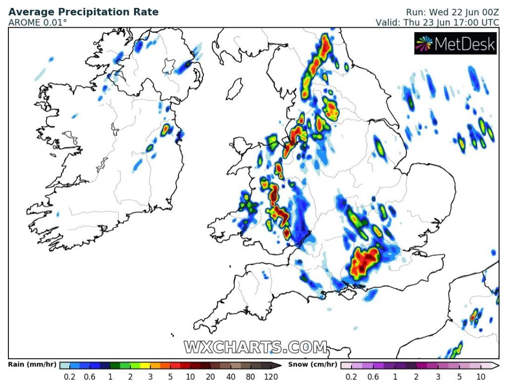
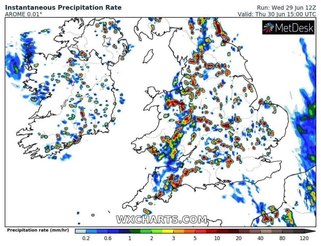
Thursday: Sunny spells but scattered showers. These will be quite a downpour if you catch one which could be thundery with hail. Max 19°C
Friday: Little change with bright spells and showers. Again, the odd hefty one. Breezy. Max 18°C
Weekend: Improving….
Saturday: More in the way of sunny spells developing but still some isolated showers around. A little cooler. Max 17°C
Sunday: Hopefully a dry day across the board. A lot of cloud around initially but bright or sunny spells arriving into the afternoon. Max 17°C
Outlook: It looks likely that high pressure will be building in from the Azores. Unfortunately its position this week means will be prone to a northwesterly airflow so dragging in a lot of cloud at times and occasionally breezy. Some sunny spells around with a lot of dry weather but the cloud could be thick enough at times for some early-morning hill-drizzle. Towards the end of the week and into the second week of July it looks at this stage like the high pressure will hang around and slowly, with increasing amounts of sunshine, temperatures will rise back into the 20s with the mid-20s possible around the 9th/10th. Fingers crossed. Next weekend could be BBQ time and who knows, perhaps temperatures back to 30°C down south.

Follow @ChadWeather on Twitter for the latest forecasts and warnings.
Thanks for reading.
Jon
Forecast Issued: Wednesday the 29th of June 2022 at 9:20pm.
Images: http://www.wxcharts.com