Hi all,
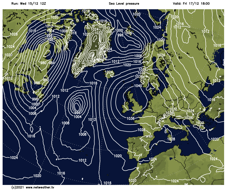
Finally the Christmas week blog. If you follow weather on social media, you will have seen the debates, and flip-flop model outputs, of a mild Christmas vs. a cold potentially snowy Christmas for days and days now. For snow-lovers; close but no cigar.
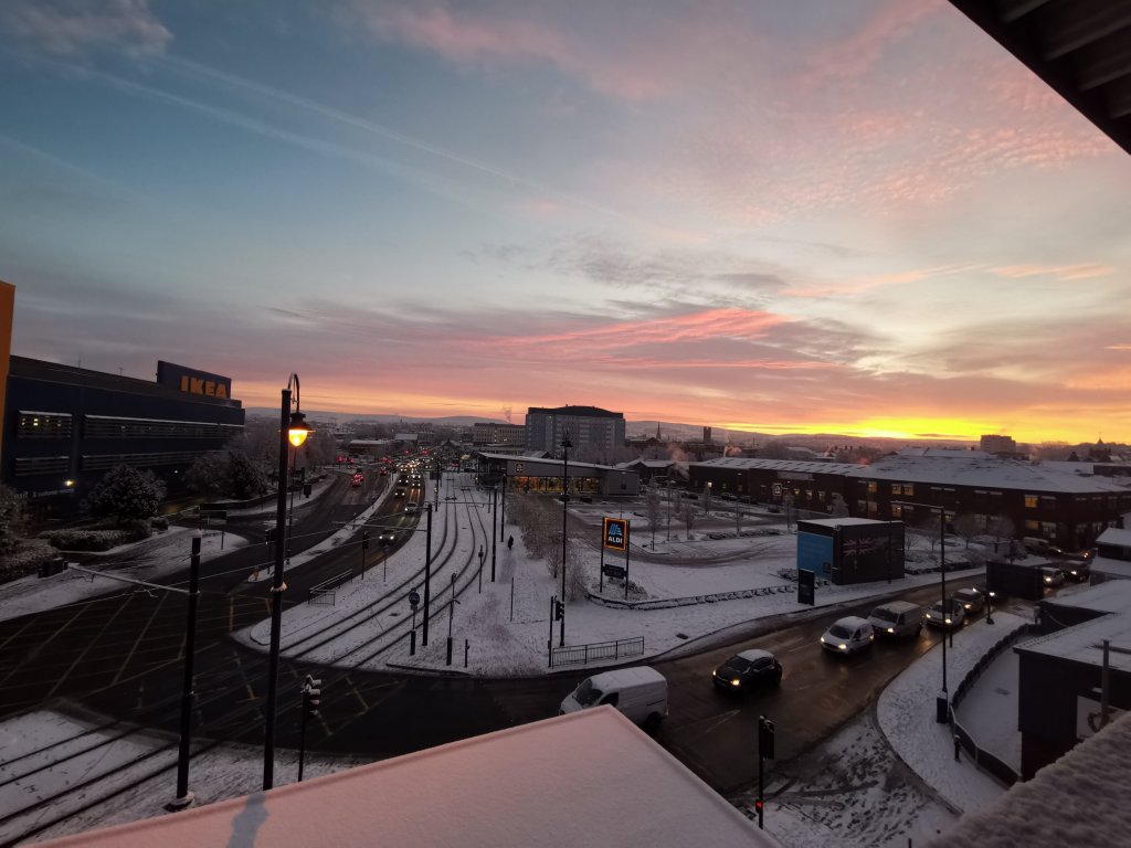
If you were hoping for a sledge or snowball fight on Christmas Day then look away now. Save those thoughts for the New Year! A standard UK winter lies ahead over the festive period.
Thursday: Cloudy and a milder day across the region after two quite cold days. Bands of patchy rain and drizzle moving north-east during the day. Max 10°C
Christmas Eve: Remaining mild for the time of year and again generally cloudy. Some rain arriving later in the day and overnight. Winds increasing. Max 8°C
Weekend: Colder but not the snowy Christmas we (some) wanted.
Christmas Day: A cold easterly wind which will be quite strong and gusty. Overcast with rain, patchy at times, easing. Another band of rain later. Winds gusting to 30mph and making it feel close to 0°C. High up, on the Pennines for example, there could well be the odd flake of wet-snow mixed in. Remember, only one flake makes it a White Christmas. Max 5°C

Boxing Day: Little change expected; cloudy with some light rain. The battle of cold air to the north-east and milder air to the south-west remains locked. It will feel chilly but we’re not exactly in the colder airmass. Max 6°C
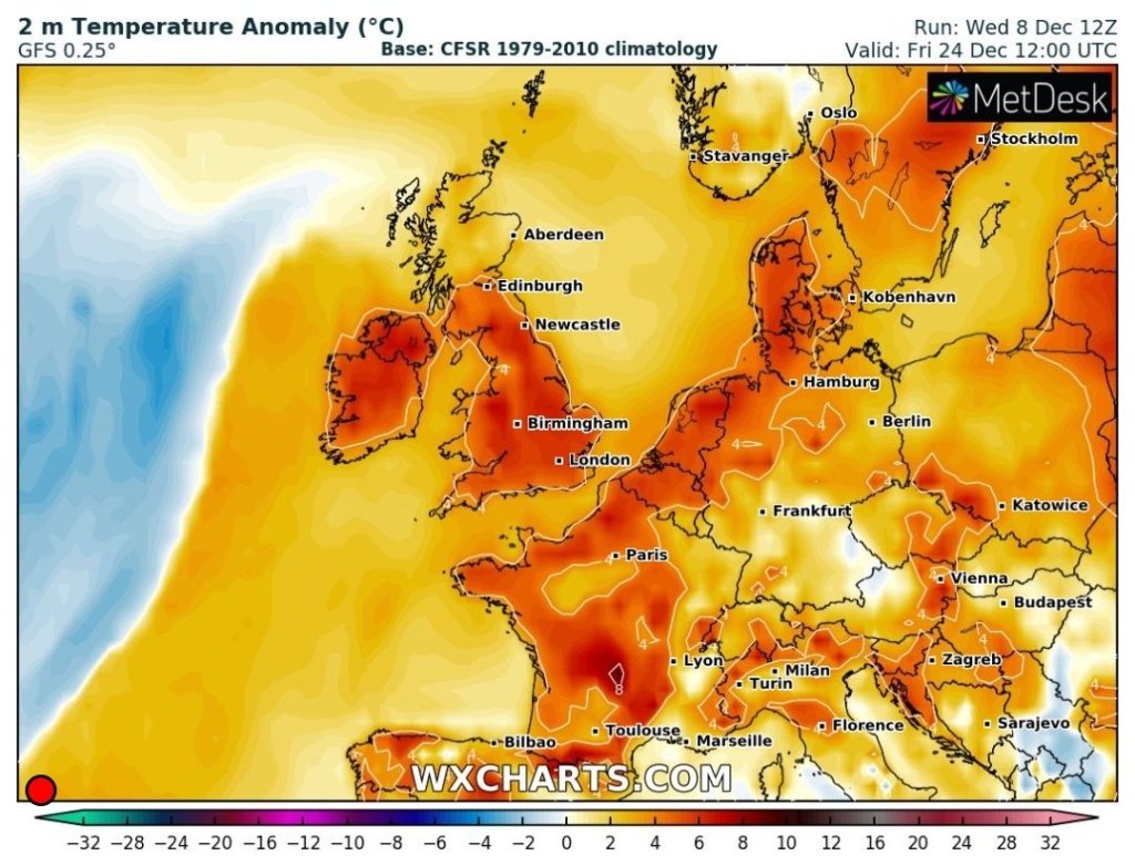
Outlook: It looks like the milder air will eventually win out and it will become unsettled with spells of rain and wind. Temperatures slipping into double-figures to end 2021.
Follow @ChadWeather on Twitter for the latest weather forecasts and warnings.
I would like to wish you all a very Merry Christmas and all the best for 2022!
Thanks for all your tweets, photos and kind words this year.
Jon
Forecast Issued: Wednesday the 22nd of December 2021 at 4:20pm.
Image: http://www.theweatheroutlook.com