Rain on the evening of Boxing Day 2014 gradually turned to snow as a low pressure moves south-eastwards and colder air dug in from the north. Most places saw snow but it was all about your height above sea level whether it managed to stick or not. Here in Chadderton we had a slight covering on the cars and grass but you had to go up to the east of Oldham, to the likes of Moorside to see some decent snow. In these hillier areas up to 4 inches of snow fell over a 6-hour period. After the snow came the frost then some freezing fog. Here are a selection of the photos that I had tweeted to me. Thanks to everyone for their stunning photos. I hope you don’t mind me using them. Any issues using them please let me know.
Monthly Archives: Dec 2014
Thursday 1st January 2015 – Sunday 4th January 2015
Issued Tuesday 29th of December at 11:45am
Hi all,
I hope you all enjoyed the Christmas festivities and for some of you, you got the added bonus of snow on Boxing Day.
Are we going to see anymore snow in the foreseeable future? It doesn’t look on the cards even into early January.
After several days of cold frosty and even foggy weather it gets milder through Wednesday night. Therefore Thursday will be much milder with rain coming in from the west on a stiff southwesterly breeze becoming heavier later in the day. Highs 11’C.
Rain around on Friday morning will slowly clear southeastwards but doing so introduces cooler air so temperatures dropping during the day. Following the rain, bright spells and some showers. Breezy. Highs of 8’C.
The weekend looks cold with some showers on Saturday which could be wintry in places with some hail. The breeze making it feel quite chilly again. Highs of 6’C.
Sunday looks a bit more settled at the moment with bright spells and lighter winds. It could stay dry but we can’t rule out a shower. Highs of 6’C.
Looking ahead it remains showery with temperatures about average.
Keep up to date with your local weather by following @ChadWeather on Twitter.
All the best for 2015.
Cheers
Jon
Thursday 18th December – Sunday 21st December
Hi All,
The question on everyone’s lips is. “Will it snow on Christmas Day?”. I’m afraid the prospect at the moment isn’t looking good. Latest forecasts suggest temperatures around 7°C and windy with showers. A bit of a let-down especially for snow-lovers like myself.
Thursday will be very mild with spells of rain or showers. It will also be quite windy at times. Highs of 13°C.
Overnight and into the following morning, the rain pushes away and introduces much colder air leaving Friday as bright, windy and fresh with wintry showers. The wind making it feel much colder than Thursday. Highs of only 7°C.
The unsettled theme continues into Saturday with cold, breezy conditions bringing some heavy showers with hail possible but milder during the day. Highs of 7°C.
All change again into Sunday. A band of rain sweeps in from the west early on but it turns patchy and it turns milder again with southwesterly winds back in charge. Windy too. Highs of 10°C.
Looking ahead into Christmas Week and it seems weather sourced from the Atlantic stays in charge, briefly. So expect mild conditions with showery rain at times to start then maybe colder on Tuesday before milder again for Christmas Day. There is a slight hint of something colder on or after Boxing Day which might bring snow.
I would like to wish you all a very Merry Christmas and all the best for 2015.
Follow @ChadWeather on Twitter for local weather updates.
Cheers
Jon
Thursday 11th December – Sunday 14th December
Updated Wed 10th December at 17:15
Hi All,
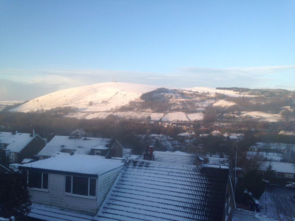
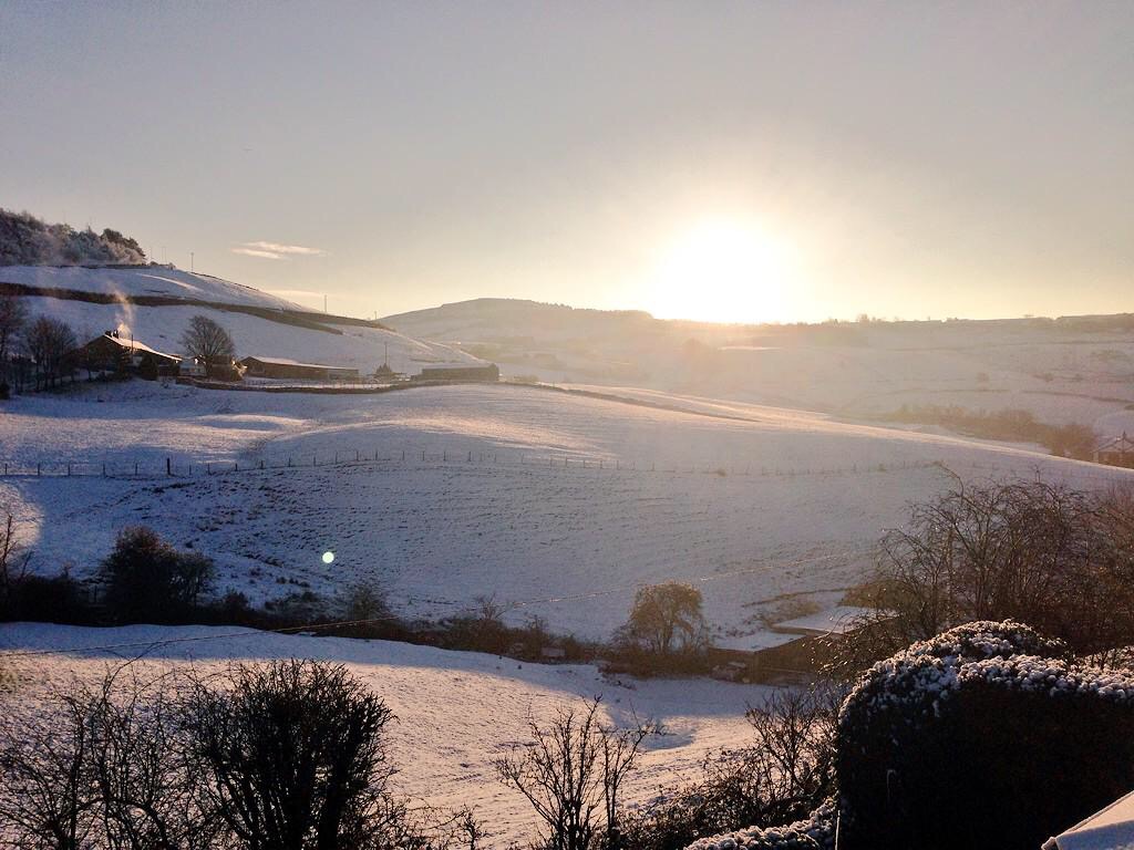
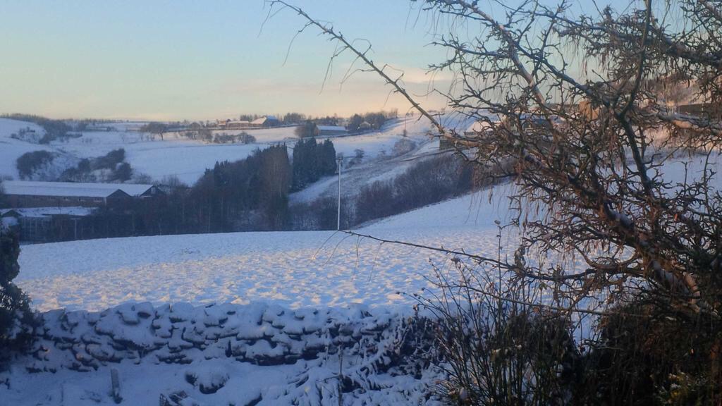
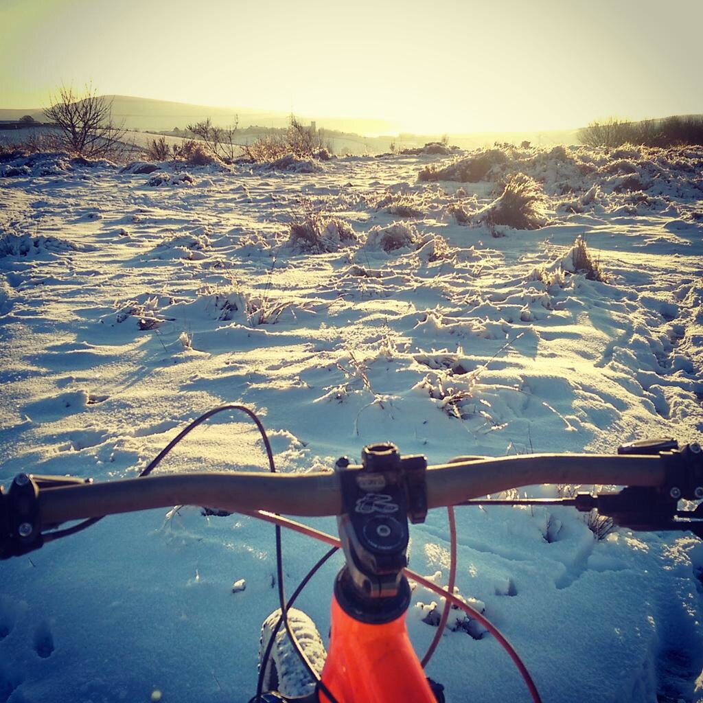
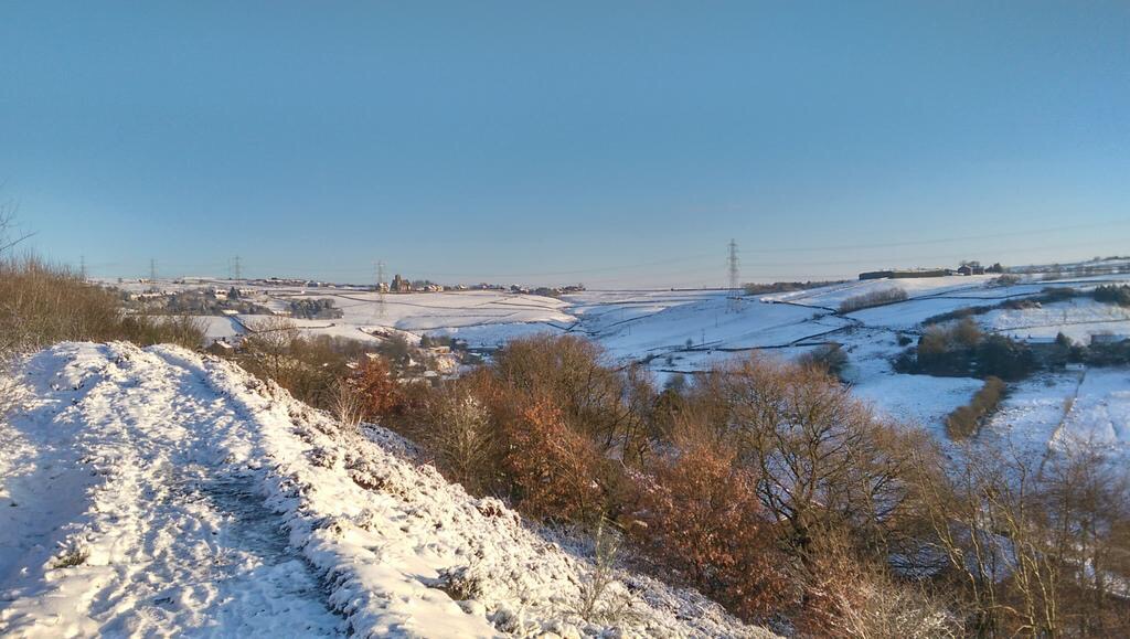
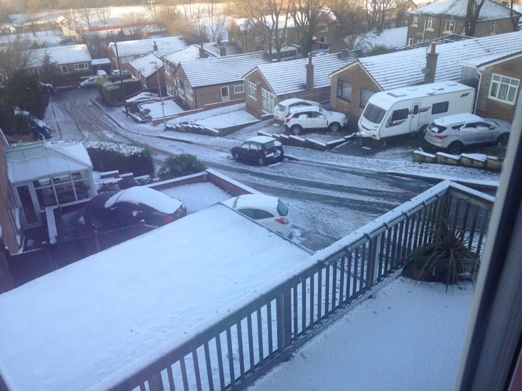
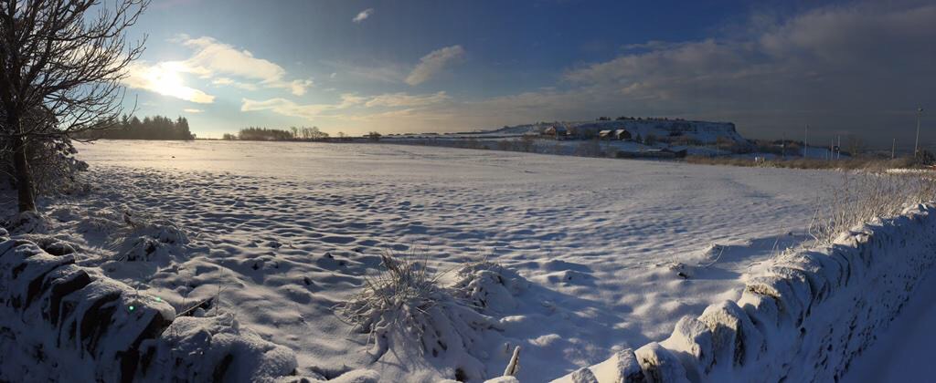
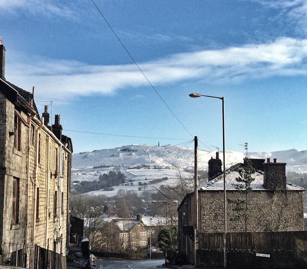
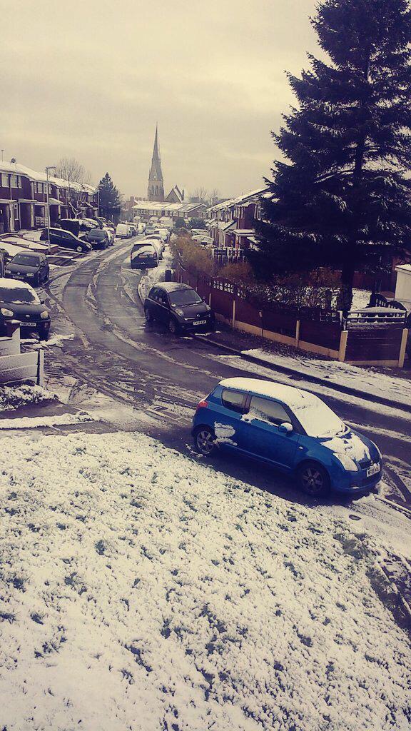
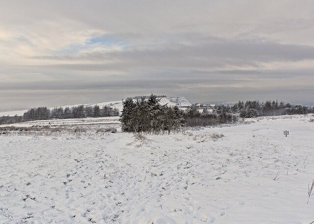
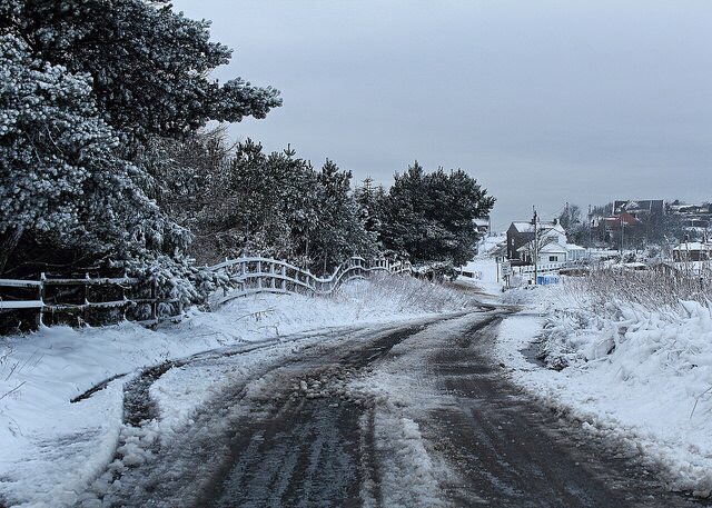
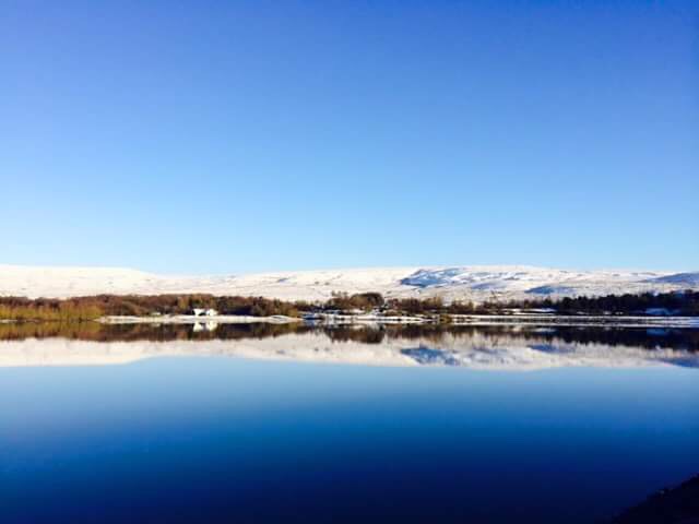
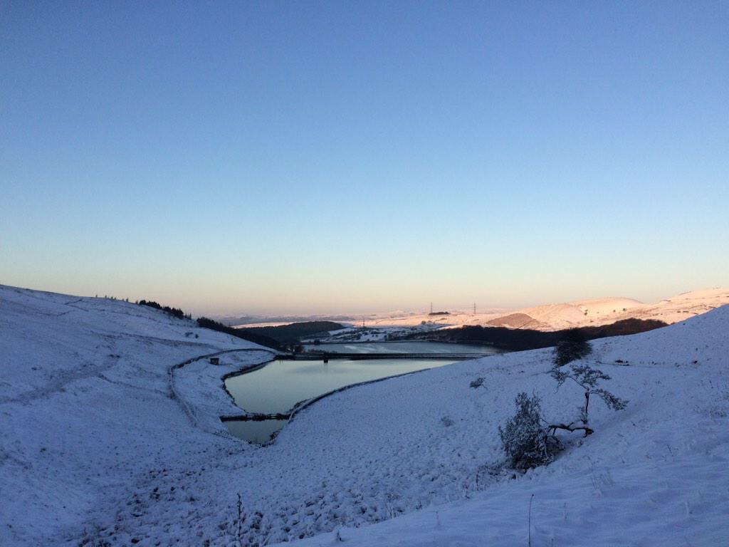
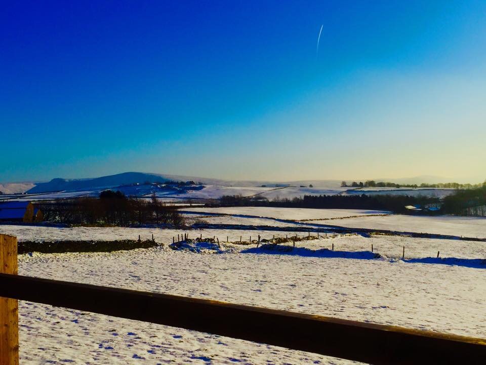
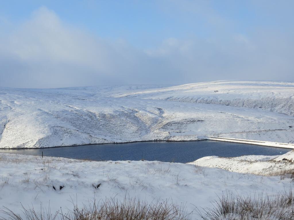
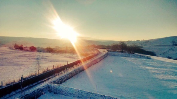
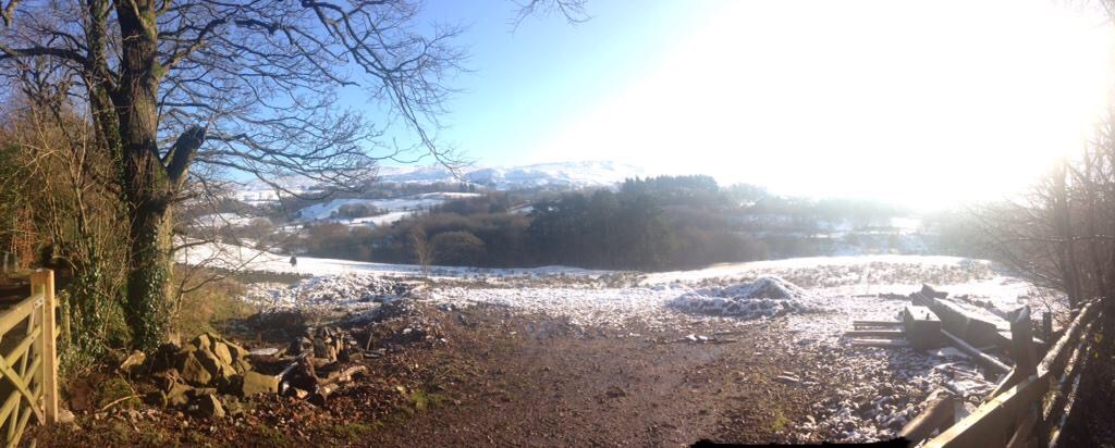
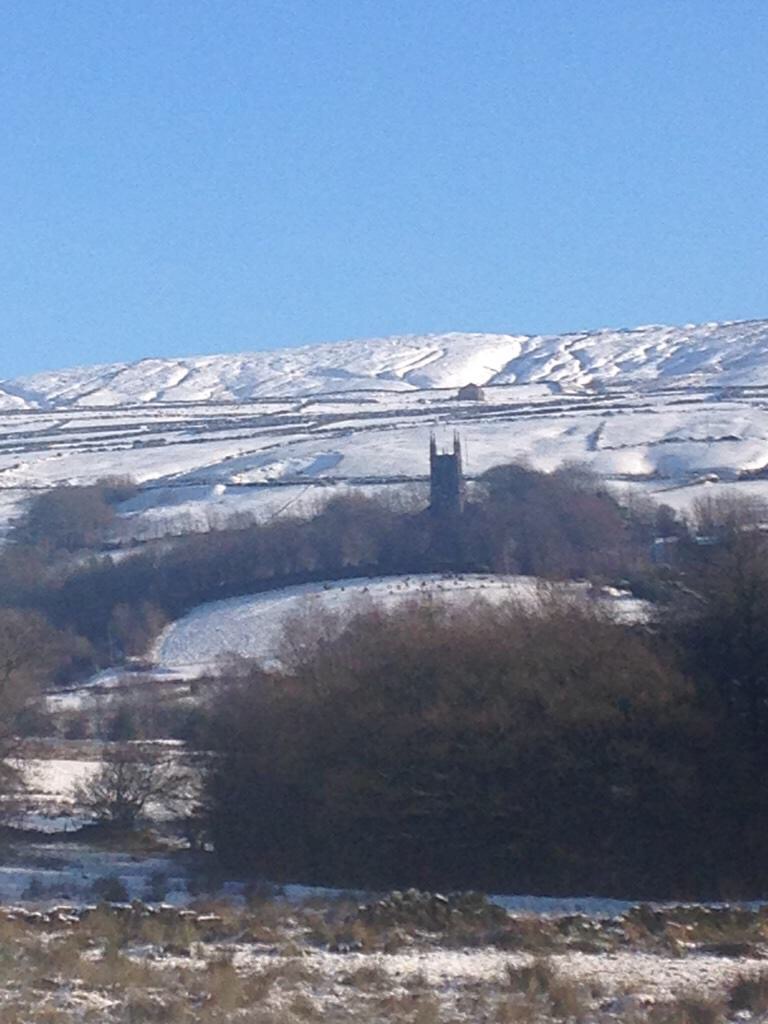
The unsettled and the generally cold, windy weather continues.
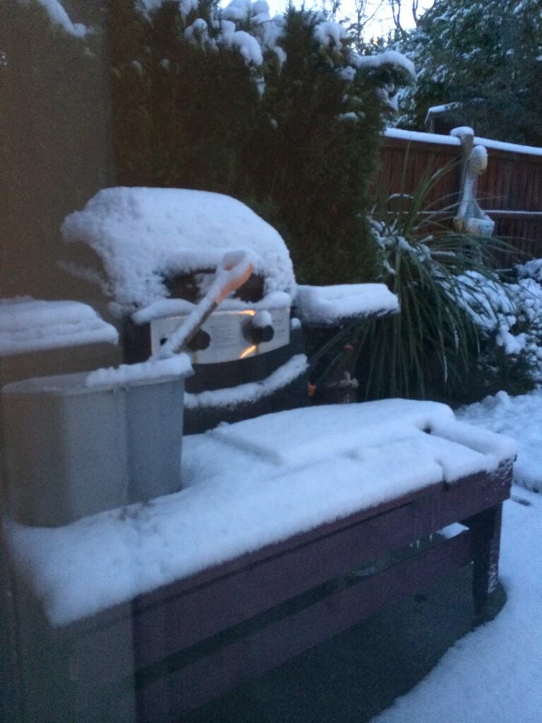
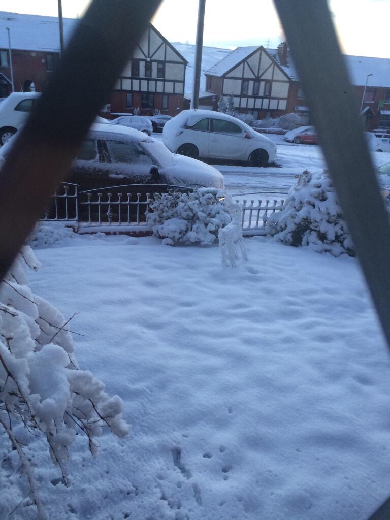
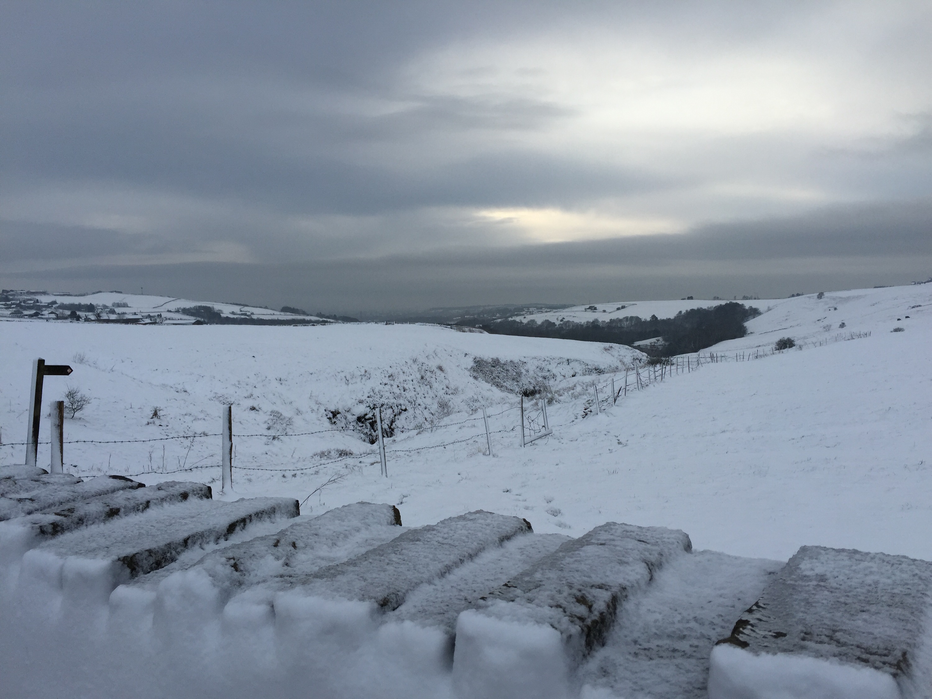
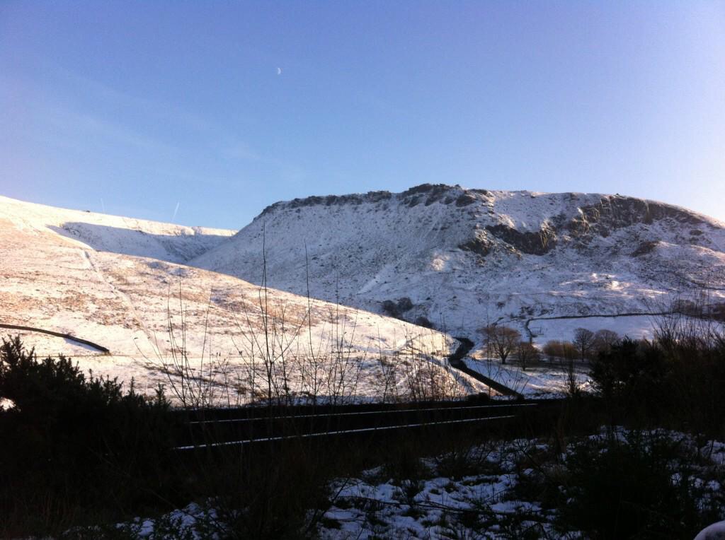
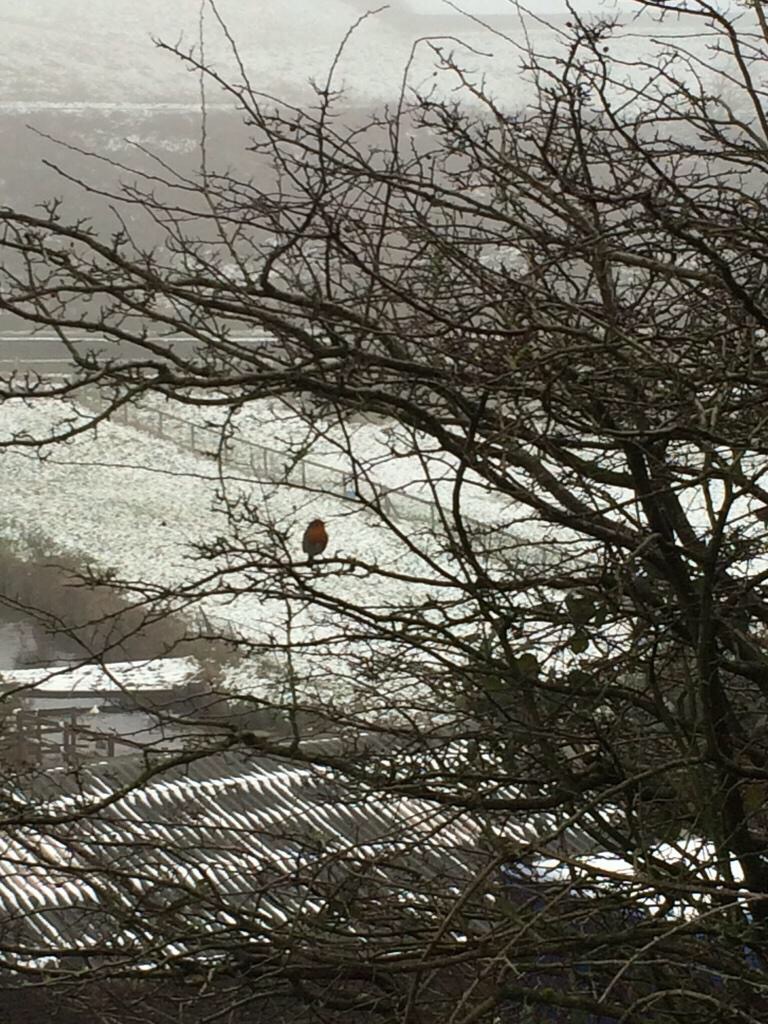
Thursday sees the windy conditions stick around with strong gusts especially in the showers. Some of the showers will be wintry with hail. Feeling cold. Heavy rain with strong winds push in from the west later on and overnight with further windy weather with hill-snow possible and even possible to lower levels. Max 6’C.
As we enter Friday the rain could turn to snow before it quickly moves away and the wind turns to a more north-westerly direction so turning colder with some wintry showers and snow is possible again especially on the hills. Again windy but also some welcome sunny spells. Max 5’C.
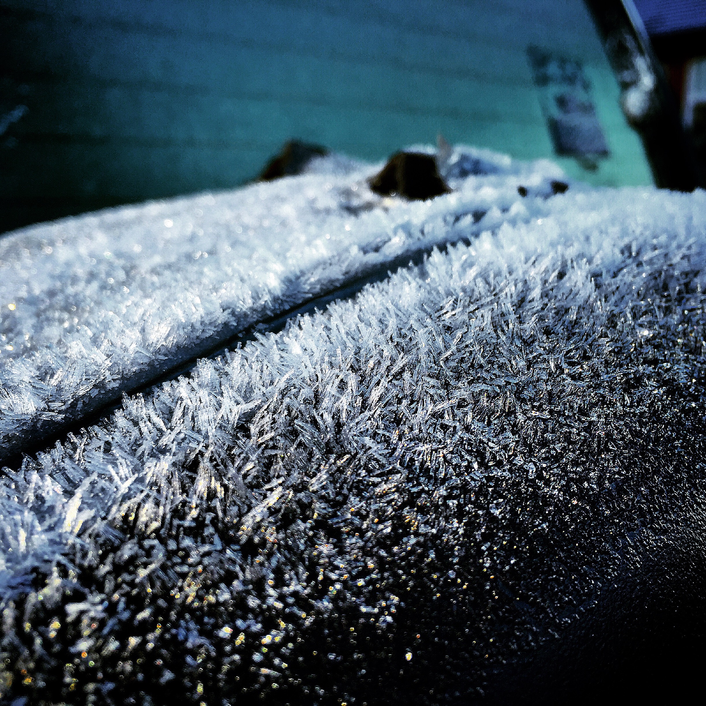
Friday night might see a more organised band of wintry mix spread down from the north but it’s low risk and it is more likely just to be icy and a frosty overnight.
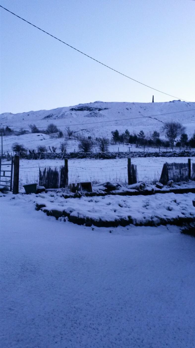
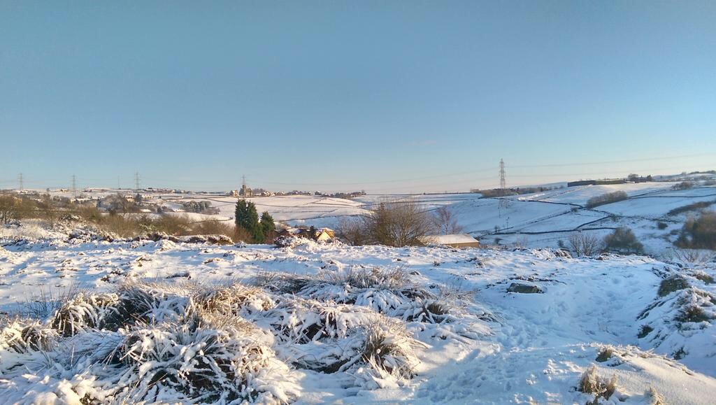
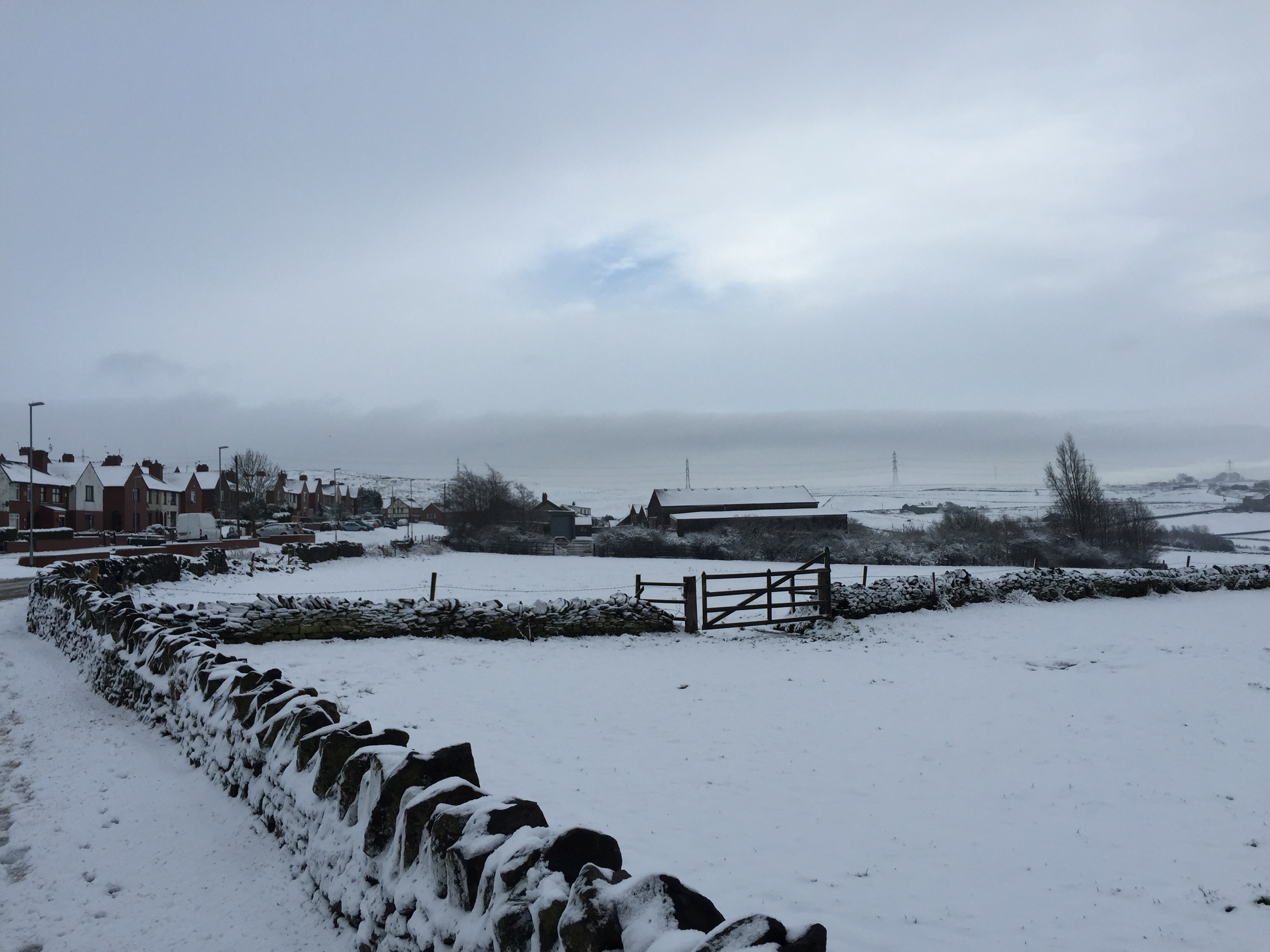
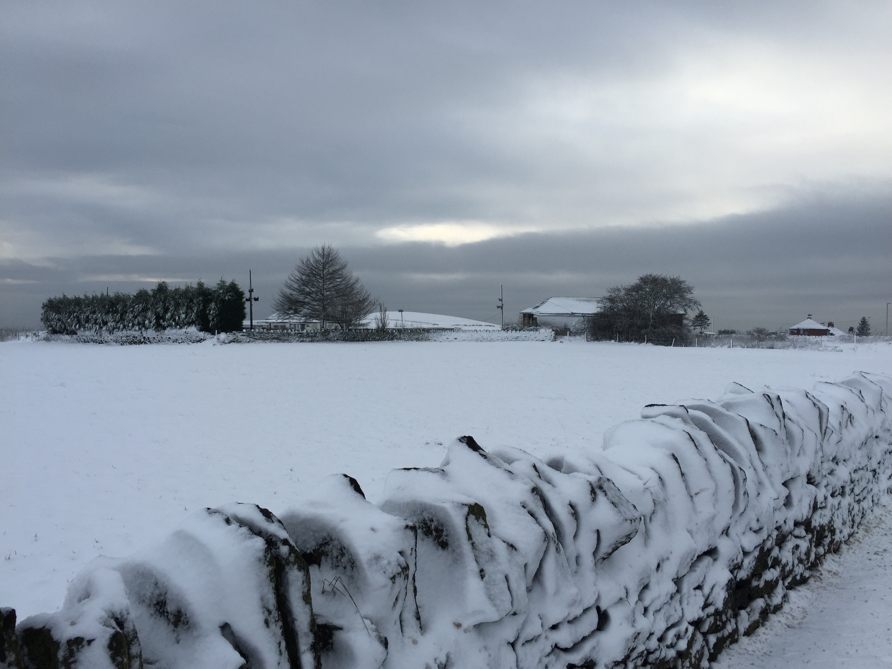
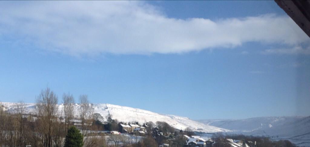
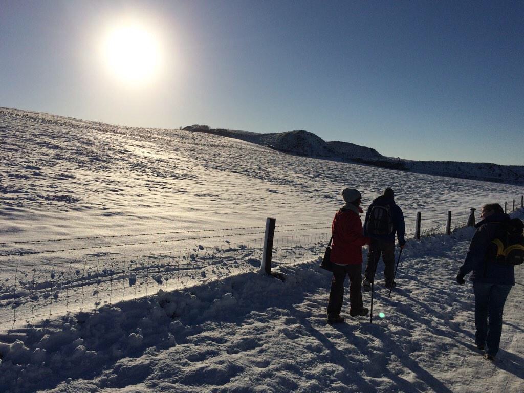
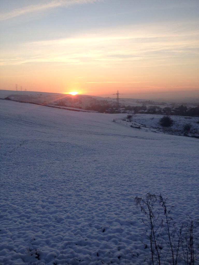
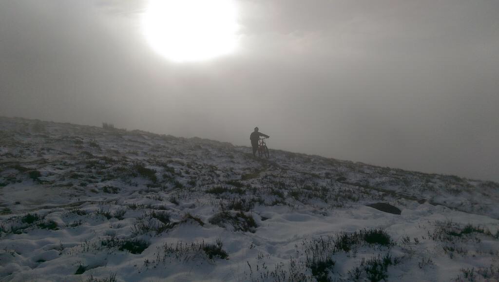
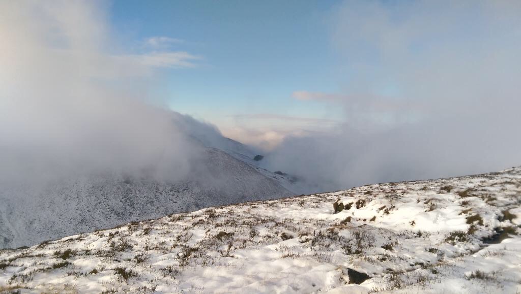
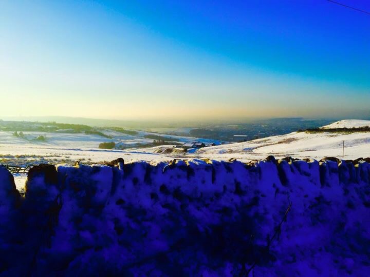
Saturday dawns cold with a frost but will be a better day with some sunshine on offer but feeling cold with a fresh north-westerly wind. Sleet or snow showers are not to be ruled out but these will be very well scattered. Max 5’C.
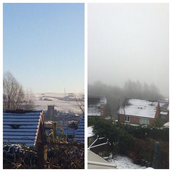
A chilly start on Sunday but any brightness will be replaced with more cloud from the southwest and it will turn milder and breezy. Rain developing during the day but mainly patchy and not too heavy. Max 8’C.
Looking ahead it’s briefly milder before another colder spell brings wintry showers and frost. This cycle repeats throughout the week.
Next week I’ll give you a peek at Christmas Day.
Follow @ChadWeather on Twitter for your local weather updates.
Cheers
Jon
Thursday 4th December – Sunday 7th December
Hi,
December is here and with it comes colder weather and the start of the meteorological winter but no snow event on the horizon.
Thursday will dawn with some patchy frost but with a little more cloud in places. A cloudy day is in prospect making it feel cold but some brightness too. Max 6°C, Min 1°C.
Going into Friday a cold front pushes down from the northwest introducing thicker cloud and with it some patchy rain and a little wintriness on the hills. Brighter later with the odd scattered wintry shower with hail possible. Some clear spells overnight will mean a slight frost and possible icy patches. Max 6°C, Min 0°C.
Saturday will start chilly but the day should be mainly dry with sunny spells and again cold. Patchy frost first part of the night soon replaced with cloud and rain. Max 6°C, Min 0°C.
Sunday doesn’t look as sunny as Saturday with showers which could be wintry on high ground with hail possible even to lower levels. Cold and breezy. Max 7°C, Min 2°C.
Looking ahead it looks unsettled and chilly with some windy weather and wintry showers.
Follow @ChadWeather on Twitter for your local weather updates and you’ll be the first to know when to dust down that sledge.
November 2014 Stats: Warmest 15.7°C; Coldest 0.3°C; Wettest 10.6mm; Windiest 32mph; Total Rainfall 54.0mm.
Cheers
Jon