Sunny and warm but windy for a time. Changes as we head into the Bank Holiday Weekend – Thursday 30th April 2026 – Bank Holiday Monday 4th May 2026

Hi all,

Let’s be honest. We’ve had a decent spell of weather recently, with plenty of dry conditions and warm sunshine, albeit with the odd day of a pesky wind. There’s a Bank Holiday Weekend coming up but the weather’s got to break at some point so we can’t complain. April’s been a decent month, mostly the second-half, with well-below average rainfall overall (only 31.8mm).

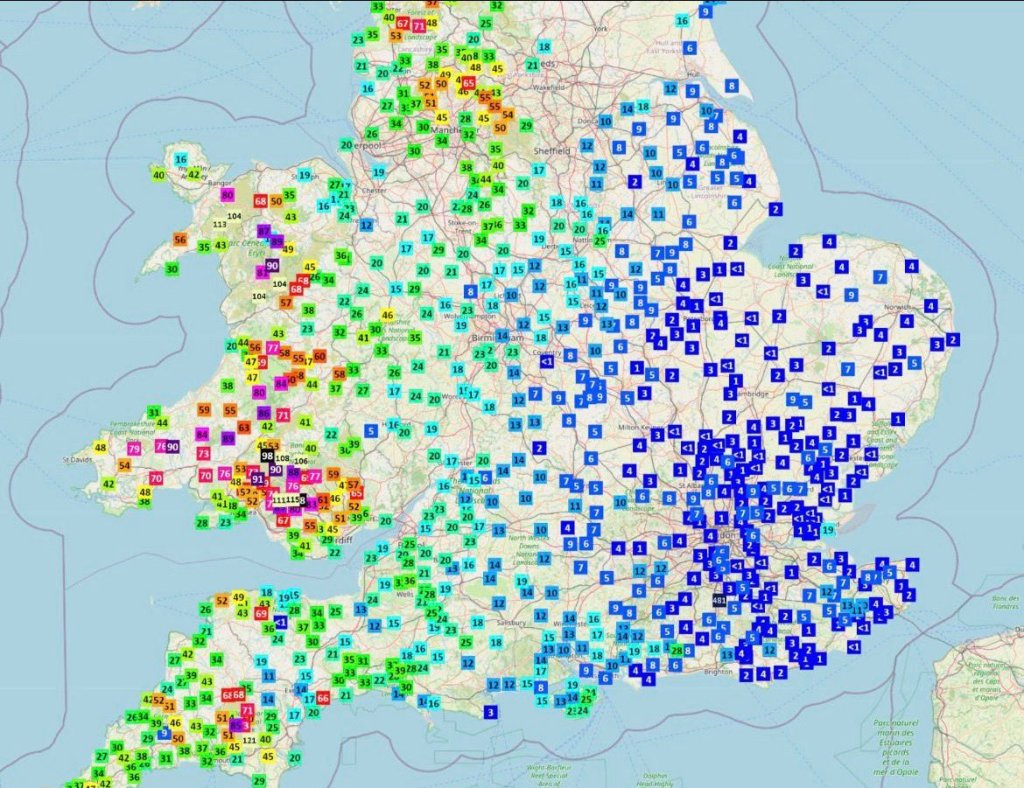
April has recorded 13 days of measurable rainfall. 10 of those days occurred in the first half of April, highlighting how dry the weather has been over the last 2 weeks.

A brief warm-up this week, with a brief humid feel to the weather before change slowly takes hold.

UV levels are now approaching high with values of 5 to 6.

Thursday: A windy day once again but plenty of sunshine and it will be warm to very warm, most noticeable in the sunshine away from the breeze. Warmest in sheltered western areas. Max 22°C Min 7°C Max Gusts 30mph

Friday: Another lovely morning with plenty of sunshine and it will feel warm as winds will be lighter. It looks like a very short-lived plume of humid air will arrive for the afternoon/evening which will trigger some showers. How warm we get on Friday, will all depend on how quickly these showers brew and move through the region. Not everywhere will see a shower, but places are likely to turn cloudy and temperatures will begin to ease away later in the day. Max 19-23°C Min 9°C Max Gusts 20mph

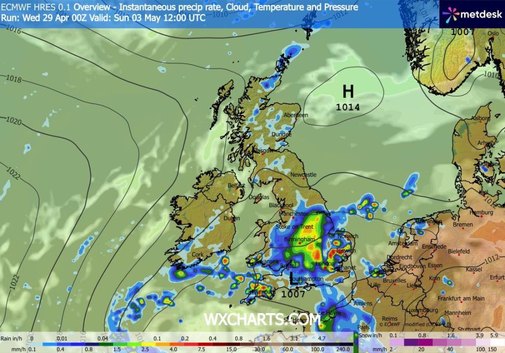
Weekend: The nice weather is coming to an end.

Saturday: High pressure will now be replaced by a more unstable air mass. Sunny spells are still likely but clouds will be bubbling up so don’t be surprised to see a few showers about. Cooler. Max 18°C Min 8°C

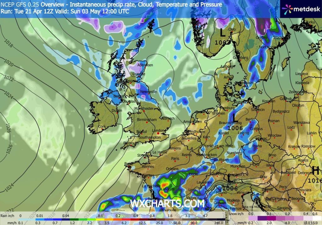
Sunday: A lot of uncertainty surrounding Sunday’s weather. With changes kicking in, it is very difficult to predict where rain will develop. At this stage it looks like a low pressure system will move up from the south. If this ends up being further west, we are expected to see a wet afternoon or evening. At this stage it’s going to stay away to our southeast. If this sticks true then we can expect a day of bright spells and the odd isolated shower. Max 17°C Min 8°C

Uncertainty on the positioning of this rain on Sunday

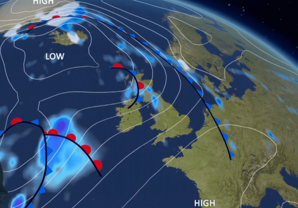
Bank Holiday Monday: Winds look set to switch to a northwesterly direction, introducing cooler air and mostly cloudy skies. Some brightness but also the odd shower and if we had rain from the south on Sunday then this will ease away to the southeast. Max 15°C Min 6°C Max Gusts 20mph

Outlook: Looks cool and mostly cloudy for a time, so a change in fortunes compared to recent weeks. Some rain likely but hints of high pressure out west stopping the Atlantic weather systems kicking into gear. Temperatures more around the average mark or perhaps a little below.

Follow @ChadWeather on X and Bluesky for the latest forecasts and warnings.

Thanks,

Jon

Forecast Issued: Wednesday the 29th of April 2026 at 4:16pm

Images: http://www.wxcharts.com

Lengthy dry and sunny spell to enjoy with fresh nights – Thursday 23rd April 2026 – Sunday 26th April 2026

Hi all,

I hinted at high pressure last week and the good news is, it’s arrived and here to stay for the foreseeable. Sometimes a high can be persistent and can trap in cloud and bring days of overcast conditions called anticyclone gloom. This high looks to be persistent but with plenty of sunny/clear skies with any cloud, being dragged in from the North Sea only affecting NE Scotland and NE England at times.

Parts of England have hardly had any rainfall in April and the rainfall amounts forecast for the next 7-10 days are very low for most of us.

Very dry so far this April for parts of the UK (blue)
A dry outlook for most even into the first couple of days of May

UV levels Medium 4-5.

Thursday: After a couple of windy days it will ease slightly but still breezy from the east. A lovely day with plenty of sunshine. Temperatures up a notch. Max 17-19°C Min 4°C Max Gusts 20mph

Friday: Widespread sunshine is expected after a misty start. Glorious and feeling warm with lighter winds. Max 19-20°C Min 5°C

Weekend: BBQ Saturday? A little cooler with some cloud on Sunday.

Saturday: Mist to start again then another great day with warm sunny spells. Just perhaps some fair-weather cloud at times. Max 19-21°C Min 7°C

Sunday: Winds swinging to drag in slightly cooler air and a bit more cloud is expected but still pleasant with sunny spells and dry. Max 18°C Min 6°C

Outlook: High pressure to continue to dominate. A lack of rainfall, sunny spells, warm at times with cool nights. Chance of some cloud off the North Sea in eastern parts midweek. Make the most of it. Chances are it is likely to change as we enter the Bank Holiday Weekend as pressure drops and rain and cooler air arrives. Of course a long way off, so subject to change.

High pressure to release its grip over the Bank Holiday Weekend

Follow @ChadWeather on X and Bluesky for the latest forecasts and warnings.

Thanks,

Jon

Forecast Issued: Wednesday the 22nd of April 2026 at 5:30pm.

Images: http://www.wxcharts.com & http://www.roostweather.com

Showery but not too much rain ahead. Warmer for a time then hopefully there’s a chance it could settle down – Thursday 16th April 2026 – Sunday 19th April 2026

Hi all,

April showers have been around this past week and despite there still being a nip in the air and a couple of frosty nights, it is now noticeably warmer in that sunshine. UV levels are now up close to 5, so time to start working on your tan.

Excluding Wednesday, not much rain has fallen over the last 4 weeks with rainfall amounts actually below-average.

Last 30 days: 17 rain fallen days and 13 dry days. 65mm in total but 40.4mm of that fell on 4 days so the other 13 days weren’t that wet.

Make the most of any sunshine you see now as it can be pleasant even if the temperatures are still in the low-teens.

Thursday: Low pressure to the north-west so a southwesterly flow bringing sunny spells and showers. Windy and pleasantly mild in the sunshine with temperatures slightly above average. Max 16°C Min 9°C Max Gusts 25mph

Low pressure close by pre-weekend

Friday: Another low will bring a spell of rain then showers after a bright and dry start. Max 16°C Min 8°C Max Gusts 25mph

Weekend: Fresher but improvements.

Saturday: More of a westerly airflow. Sunny spells and a few showers but not as mild especially overnight. Showers more likely later in the day. Max 14°C Min 5°C Max Gusts 25mph

Sunday: A ridge of higher pressure will bring a settled day with bright or sunny spells after any early showers fade. Max 13°C Min 5°C Max Gusts 20mph

Outlook: High pressure will hopefully stay around and even though it will sit in a ‘cool’ position it means we could see a settled spell of weather take hold next week with pleasant sunny spells and chilly nights.

High pressure to ridge down from the north next week?

Follow @ChadWeather on X and Bluesky for the latest forecasts and warnings.

Thanks as ever for reading – I hope this helps you plan your days.

Thanks,
Jon

Forecast Issued: Wednesday the 15th of April 2026 at 6:13pm.
Images: BBC Weather & http://www.theweatheroutlook.com

Windy at times but fingers crossed for some sunshine next week – Thursday 2nd April 2026 – Bank Holiday Monday 6th April 2026

Hi,

It’s quite hard to believe that a quarter of the year has gone already. We didn’t have much of a winter in terms of cold and snow, but that always seems to be the case these days. Spring has already been going for a month, meteorologically-speaking and we have had a couple of nice days with a bit of warmth, but overall it’s been disappointing so far.

Next on our agenda is the Easter holiday and I did mention that the Easter holiday forecast was flipping and flopping when it came to will it be nice with high pressure or will it be unsettled with Atlantic-driven weather systems? More so the latter I’m afraid.

Thursday: Not a bad day to be fair after a misty start and a little bit of a chilly one. Sunny spells will be around for the morning turning hazy later as cloud thickens from the west. Some rain overnight. Max 11°C Min 6°C

Good Friday: Low pressure will be close by, so we will see a day of bright spells and showers and it will be also windy. Especially gusty during any showers. Max 12°C Min 4°C Max Gusts 30mph

Easter Weekend: Windy but not too bad after Saturday.

Saturday: Sunny spells to start but these will be brief as cloud thickens from the west. Becoming very windy later with a warning in place as a spell of rain arrives towards evening. Mild. Max 14°C Min 4°C Max Gusts 50mph

Windy for the Easter Weekend but we look set to miss the worst of it

Easter Sunday: We return to a cooler airmass now so expect a day of sunshine and showers and some of these showers could be heavy with hail and thunder. Feeling cold in the gusty wind. Max 9°C Min 2°C Max Gusts 30mph

Wind warning for Saturday night/Sunday morning for parts of the region

Bank Holiday Monday: At the time of writing, this looks like the best day of the Easter break. It should be dry, bar the odd, isolated shower, plenty of sunny spells and windy. The wind will have switched to a southerly direction, meaning the temperatures will rise. Max 15°C Min 8°C Max Gusts 25mph

Temperatures rising briefly on Monday/Tuesday

Follow @ChadWeather on X and Bluesky for the latest forecasts and warnings.

Match 2026 stats from the Met Office. Quite the variation across Northwest England for rainfall.

Thanks,

Jon

Forecast Issued: Wednesday the 1st of April 2026 at 5:30pm

Images: BBC Weather, Met Office & http://www.wxcharts.com