Warm but rain returns – Thursday 1st July 2021 – Sunday 4th July 2021

Hi all,

June is coming to an end. It’s been a very dry month and overall we can be satisfied with the first month of summer, especially after a poor May. So, a new month, does that mean a change in our weather? Certainly looks that way come the weekend.

Thursday: A decent day with sunny spells and feeling very warm. Cloud will develop in some parts during the day but it will stay dry. Max 22°C

Friday: Cloud will increase from the northeast with the chance of a shower or two. Most of us staying dry. Some sunny spells returning later. Warm. Max 21°C

Weekend: Becoming showery.

Saturday: Sunny spells for the morning but clouds will bubble up and isolated showers are expected to break out into the afternoon and evening, some locally heavy. Max 21°C

Sunday: Bright spells and hefty, slow-moving showers developing. Chance of the odd thunderstorm breaking out too. Some welcome rain for the gardens. Max 20°C

Rainfall totals Wed PM to Sun PM – most delivered via showers over the weekend

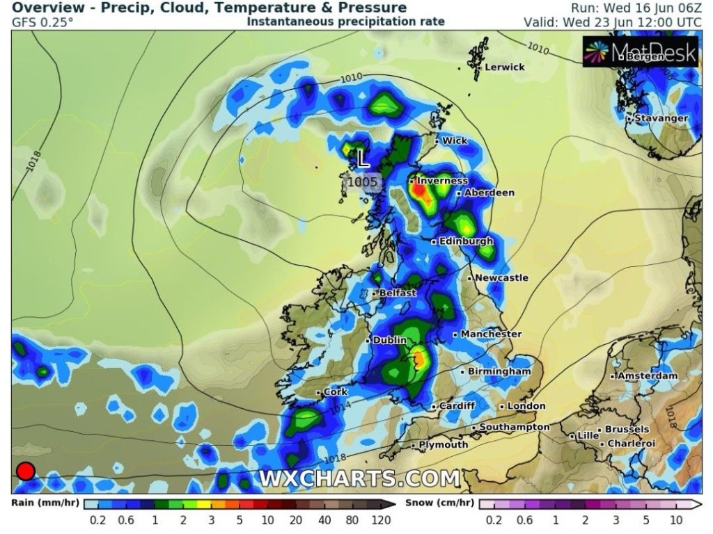
Outlook: The week looks generally cloudy with showers at times. No sign of a summer heatwave yet. Temperatures remaining on the warm side (around 18-20°C) and at times it will be muggy.

Follow @ChadWeather on Twitter for the latest forecasts.

Thanks for reading,
Jon

Forecast Issued: Wednesday the 30th of June 2021 at 7:40pm
Image: http://www.wxcharts.com

Changeable until next week – Thursday 24th June 2021 – Sunday 27th June 2021

Hi,

We need rain. There is some on the way but it won’t amount to much and little on the horizon.

Thursday: Cloudy with some drizzle to start. Cloud eventually thinning into the afternoon with some sunny spells around for the late-afternoon and evening. Warm and muggy. Max 20°C

Friday: A cloudy day with showery bursts of rain. It will tend to dry up in some places towards evening. Max 18°C

Low pressure brings a cooler and showery day on Friday

Weekend: Improving

Saturday: Mostly cloudy and the odd shower can’t be ruled out. A bit cool with some bright spells later. Max 18°C

Sunday: Warmer with plenty of cloud around. Sunny spells breaking through into the afternoon and feeling pleasant. Max 20°C

Outlook: High pressure looks set to keep the Jet Stream at bay. So a decent week with sunny spells, plenty of dry weather and the temperature sneaking to the mid-20s.

High pressure in charge next week with low pressure close to the southern parts of the UK

Follow @ChadWeather on Twitter for the latest forecasts.

Thanks,
Jon

Forecast Issued: Wednesday the 23rd of June 2021 at 10:40pm
Images: http://www.wxcharts.com

Cooler with change ahead – Thursday 17th June 2021 – Sunday 20th June 2021

Hi all,

June has been a decent month and almost any weather would have been an improvement from the month of May. But we’re only halfway through and a change to more unsettled weather looks set to arrive next week.

Thursday: Earlier in the week we looked to be under a risk of intense thunderstorms but these look set to stay away towards the east of the Pennines and southeast of the Peak District. That said don’t rule out a thundery shower clipping parts of the region (to the E/SE) during the day. Most areas should be cloudy with any early localised showers fading. Brighter spells towards evening. What you will notice is we’ve lost the humidity and it will feel fresher and cooler with north to northwesterly winds. Max 18°C

Intense thunderstorms for the SE of the UK Wednesday night
We could catch a thunderstorm or hefty shower on Thursday morning but the main focus is away to our E/SE

Friday: A cool northeasterly breeze but a dry day is expected with sunny spells. Max 18°C

Weekend: Saturday is best

Saturday: Quite similar to yesterday with variable amounts of cloud and some sunny spells. Most areas dry but the odd afternoon-shower can’t be ruled out. Max 18°C

Thundery rain moves north on Sunday

Sunday: Change on the way by the looks of it. Rain will push up from the south which could well be heavy with a few rumbles of thunder. A fresh breeze too making it feel cooler. Max 16°C

Outlook: The recent good weather comes to an end with areas of low pressure coming in from the west or southwest. Spells of rain or showers the order of the week but a sign that high pressure builds for the final days of June.

Looking much more unsettled next week with low pressure in charge

The longest day of the year will be on Monday and after that we…..well let’s not depress ourselves just yet. Plenty more of Summer to come.

Follow @ChadWeather on Twitter for the latest forecasts.

Thanks for reading.
Jon

Forecast Issued on Wednesday the 16th of June 2021 at 5:15pm
Images: http://www.wxcharts.com

Summery Conditions Continue – Thursday 10th June 2021 – Sunday 13th June 2021

Hi all,

It certainly feels like Summer lately and what a difference a month makes after a dreadful May. How long will this last?

**Remember UV levels are HIGH throughout so sun-cream needed**

Thursday: After a humid night we start with a lot of cloud which will hang around, perhaps hill-drizzle for a short time. Bright spells developing. Very warm and muggy. Max 23°C

Friday: Cloudy skies as a cold front moves southeast with a few showers on it. Hopefully some sunny spells towards the evening. Slightly fresher later. Max 20°C

Weekend: Locally hot

Saturday: High pressure takes control and builds back in. Cloudy for some for the morning with the sunshine becoming more widespread later. Max 22°C

Sunday: Sunny skies and temperatures rising. Light winds too leading to a hot day. Max 25°C

Outlook: Remaining warm with sunny spells. Looks like it will be fresher on Monday before the temperature sneaks back into the 20s. Risk of a few showers midweek but for now, keep watering those gardens.

Follow @ChadWeather on Twitter for the latest forecasts.

Thanks,

Forecast Issued: Wednesday the 9th of June 2021 at 10:05pm