
Hi all,
June has been a decent month and almost any weather would have been an improvement from the month of May. But we’re only halfway through and a change to more unsettled weather looks set to arrive next week.
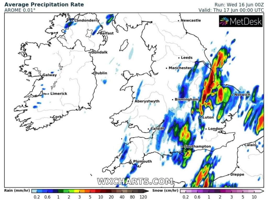
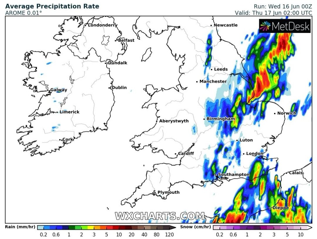
Thursday: Earlier in the week we looked to be under a risk of intense thunderstorms but these look set to stay away towards the east of the Pennines and southeast of the Peak District. That said don’t rule out a thundery shower clipping parts of the region (to the E/SE) during the day. Most areas should be cloudy with any early localised showers fading. Brighter spells towards evening. What you will notice is we’ve lost the humidity and it will feel fresher and cooler with north to northwesterly winds. Max 18°C
Friday: A cool northeasterly breeze but a dry day is expected with sunny spells. Max 18°C
Weekend: Saturday is best
Saturday: Quite similar to yesterday with variable amounts of cloud and some sunny spells. Most areas dry but the odd afternoon-shower can’t be ruled out. Max 18°C
Sunday: Change on the way by the looks of it. Rain will push up from the south which could well be heavy with a few rumbles of thunder. A fresh breeze too making it feel cooler. Max 16°C
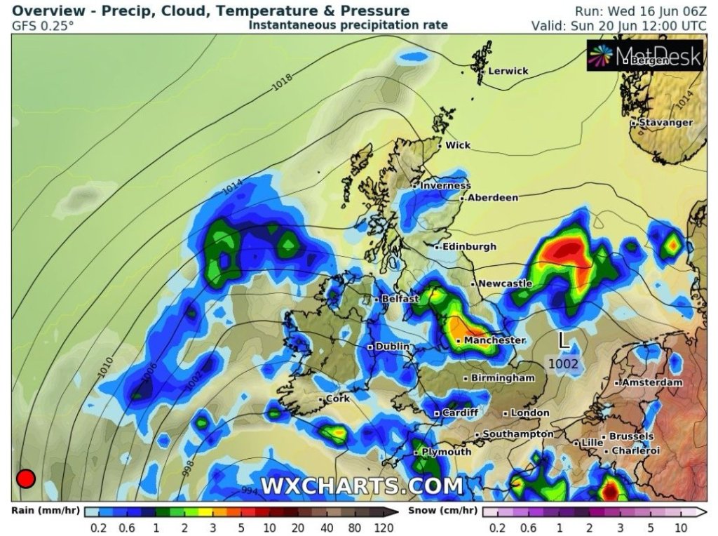
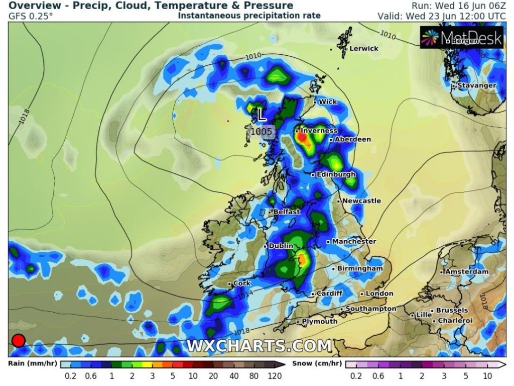
Outlook: The recent good weather comes to an end with areas of low pressure coming in from the west or southwest. Spells of rain or showers the order of the week but a sign that high pressure builds for the final days of June.
The longest day of the year will be on Monday and after that we…..well let’s not depress ourselves just yet. Plenty more of Summer to come.
Follow @ChadWeather on Twitter for the latest forecasts.
Thanks for reading.
Jon
Forecast Issued on Wednesday the 16th of June 2021 at 5:15pm
Images: http://www.wxcharts.com
