Hi all,
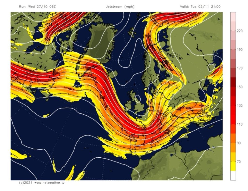
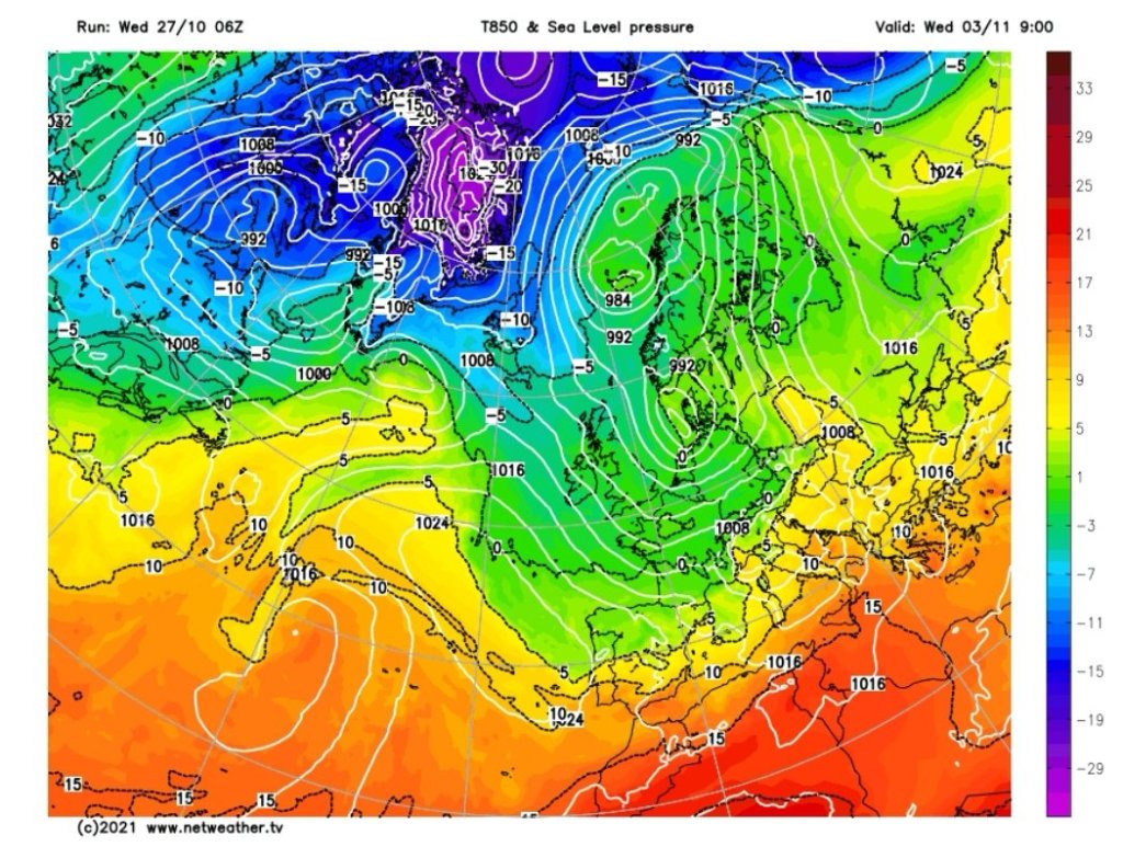
Not long left of October now and has been milder than average with mostly cloudy conditions. As we enter November, there are signs that occasionally, high pressure will be out to our west, and low pressure to the east, meaning a chilly northerly to north-westerly airflow will affect the UK at times.
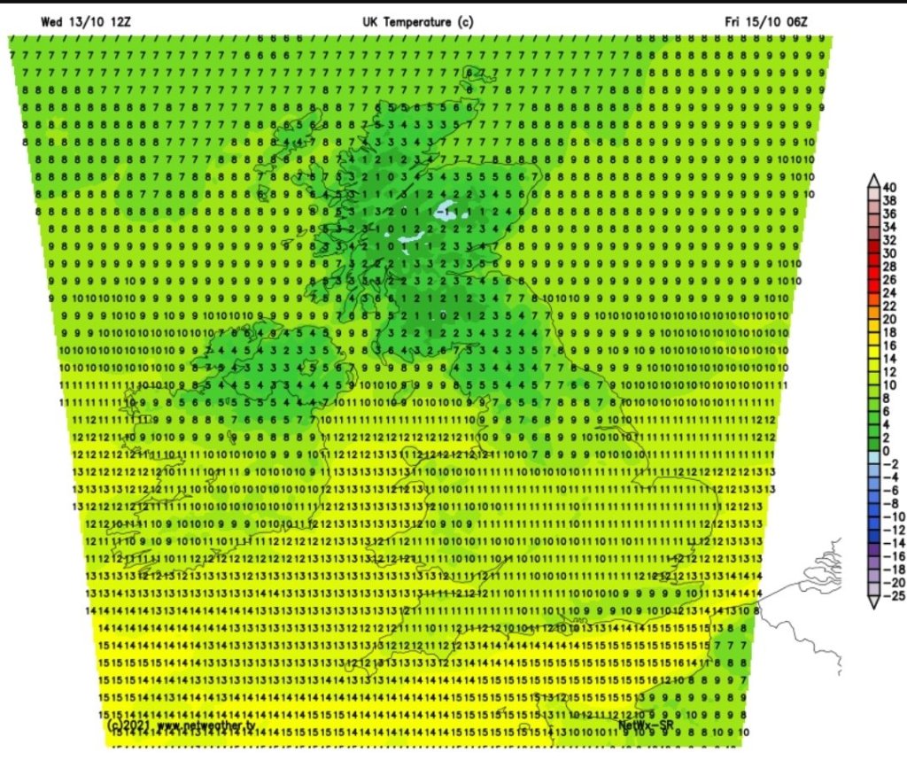
Thursday: A cloudy morning with some patchy rain. The band of heavy and persistent rain that has brought flooding to parts of Cumbria and the Lake District will eventually move southeast across the region so expect some heavy rain into the evening and overnight. Mild and windy. Max 16°C
Friday: Morning rain eventually becoming showery. Cooler with winds easing. Max 14°C
Weekend: Further rain or showers to come.
Saturday: Low pressure close by. A day of bright spells and showers, some heavy. Cooler. Max 12°C
Sunday: There is a chance that low pressure could form to our southwest and bring a spell of prolonged rain either side of showers during the morning and evening. So an unsettled day, breezy and cool. Max 11°C
Outlook: Looking colder but nothing drastic with maximum temperatures around 9-11°C. Some chilly nights with ground-frosts where skies remain clear. As for the weather pattern, bright spells and showers.
Follow @ChadWeather on Twitter for the latest weather forecasts.
Thanks,
Jon
Forecast Issued: Wednesday the 27th of October 2021 at 2:45pm.
Images: http://www.netweather.tv