
Hi all,
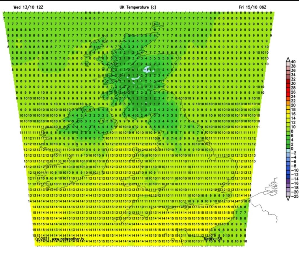
It’s been a quiet week but frustratingly cloudy and damp at times, although rainfall amounts remain low and temperatures nothing notably cold or warm.
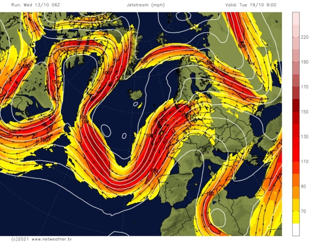
High pressure has been in charge of our weather, but cloud has been dragged around the top edge and down across the region on a northwesterly breeze hence the lack of sunny skies. With high pressure in control we have cut off the Jet Stream, which normally brings spells of wet and windy weather, and it will continue like that for a little longer but change is on the way next week.
The final third of October is likely to see increasing amounts of rainfall and some windy spells.
Thursday: Another mostly cloudy day with pockets of spit-spot rain or drizzle. Breezy. Max 15°C
Friday: Cloudy with patchy rain moving south initially, followed by colder air but lovely blue skies and sunny spells. A fresh feel with a northerly breeze. Cold for the first part of the night with a ground-frost forming before cloud increases from the southwest again. Max 12°C
Weekend: Cloudy conditions return.
Saturday: Cloud thickening from the southwest with some rain later in the day. Doesn’t look particularly heavy. Becoming milder again. Max 14°C
Sunday: A cloudy and quite warm day for the time of year with some bright spells. Max 16°C
Outlook: The Jet Stream looks set to return to influence our week with periods of rain or showers. Some brighter and drier slots in between and quite breezy at times. Temperatures mild to very mild at first but signs of cooler or colder conditions later in the week.
Follow @ChadWeather on Twitter for the latest weather forecasts.
Thanks,
Jon
Forecast Issued: Wednesday the 13th of October 2021 at 5:50pm.
Images: http://www.netweather.tv
