Thursday 26th June – Sunday 29th June

Hi,

Although we didn’t experience a heat wave recently, we have certainly enjoyed a long spell of warm weather with reasonable amounts of sunshine. The weather is now set to become more unsettled with occasional rain returning.

Thursday looks a generally cloudy day with some sunny spells. Cloud coming and going. It should remain dry. Highs of 18’C.

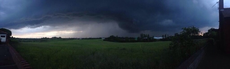
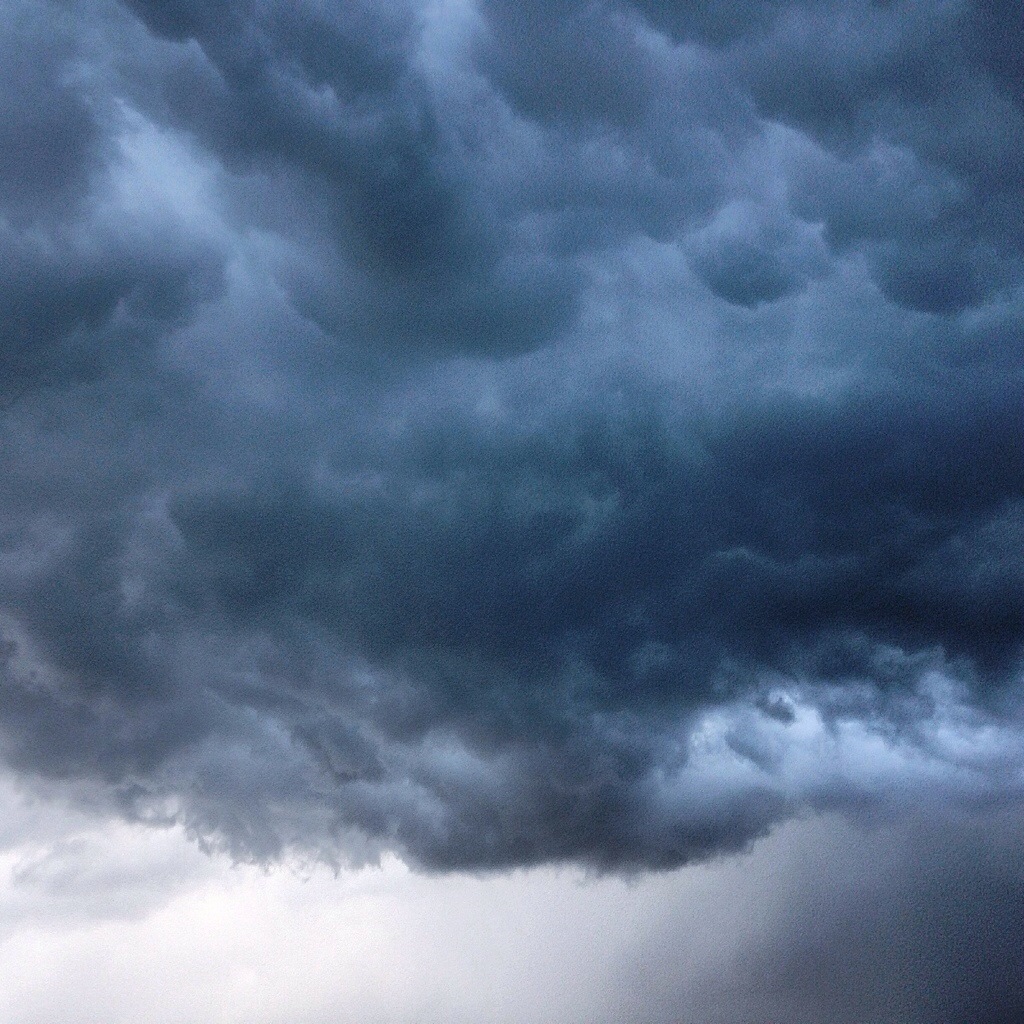
Heading into Friday low pressure takes charge and a showery day is expected with some of the showers heavy and slow-moving later. It will feel cooler with an easterly wind. Highs of 16’C.

The weekend looks a lot different to recent ones with some showers and a cooler feel to the weather.

On Saturday we can expect bright spells but also showers on and off, some heavy with possible thunder. Highs of 16’C.

We end the weekend with Sunday showing little change. Bright spells and some showers. Highs around average at 17’C.

We are still in June and in any sunshine we do see, it will feel pleasant at times.

Looking ahead the showery, more unsettled theme continues.

Follow Jon, @ChadWeather, on Twitter.

Cheers
Jon

Thursday 19th June – Sunday 22nd June

Hi all,

High pressure has been around for a week now and although it normally brings a lot of sunshine and dry weather it can also trap in a lot of cloud; a “cloudy high”, and this has been the case this time around.

During Thursday we can expect a lot of cloud once more with a cool northerly breeze. This cloud might be thick enough for some occasional light rain but unlucky to catch some. Highs of 19’C.

Mainly cloudy on Friday morning and light drizzle can’t be ruled out on higher ground but isolated. Brighter spells into the afternoon. Highs of 18’C.

Onto the weekend and high pressure stays close so a lot of dry weather with variable amounts of cloud.

Saturday looks like being a mainly dry day with bright spells and again a lot of cloud stuck under the high pressure so the sun coming and going. Highs of 19’C.

For Sunday I can’t promise much of a change. Cloudy with bright spells at times and dry. Highs of 19’C.

Looking ahead it does look settled and dry with variable cloud.

For updates, follow Jon, @ChadWeather on Twitter.

Cheers
Jon

Thursday 12th June – Sunday 15th June

Hi all,

After a lively unsettled spell which saw some torrential downpours and lightning, we have now settled down into a drier, quieter spell of weather.

Thursday and Friday will be quite similar with settled conditions across the region but not exactly with wall-to-wall sunshine. It looks dry but with variable amounts of cloud at times which should burn off to allow some hazy sunny spells to form. It will feel pleasantly warm in any sunshine with temperatures sitting around 21’C. Friday afternoon could see more in the way of cloud with patchy light rain into the evening and this possibly hanging around into the first part of the weekend as a front passes down the county.

The weekend sees high pressure remain close-by which will keep us settled and mainly dry.

Saturday looks slightly cooler than recent days with some thicker cloud and light rain possible in the morning. I’m hopeful it remains mainly dry though with some pleasant sunny spells later on. Highs of 17’C.

Sunday does look better with more in the way of sunny spells developing and remaining dry. A little warmer with highs of 20’C. An outside chance of an easterly breeze picking up.

So not a bad forecast but any cloud encroachment from the north late Friday and Saturday could spoil things a little.

If you are out and about for any length of time in any sunshine, then remember sunscreen. The sun is high in the sky in June and burn-times are at their highest.

Looking ahead it looks settled initially and warm with details uncertain towards the end of next week. Will high pressure hang on?

Follow Jon, @ChadWeather on Twitter.

Cheers
Jon

20140611-095406-35646679.jpg

20140611-095407-35647479.jpg

Thursday 5th June – Sunday 8th June

As of: 14:00 Wednesday 4th June

Hi,

So May has been and gone and did offer us a few nice warm days, but overall it was very wet with above average rainfall. So now we are in the Meteorological summer what can we expect? Showery and quite warm probably sums it up best.

Thursday morning sees some rain and cloud left over from Wednesday which will eventually ease and break. We might see some brighter spells later on and warmer than Wednesday. Highs of 16’C.

During Friday we should see some warm, bright spells but also turning humid as winds turn southerly. This humidity might produce an evening shower. Highs of 20’C.

The weekend looks a showery affair and initially humid.

Saturday continues with the showery theme. Scattered heavy showers, with possible hail or thunder but also with some bright spells. Some torrential rain is possible. Highs of 19’C and feeling muggy.

Sunday more of the same, showers, some heavy across the region but these should ease away. Again, some bright spells and feeling humid at first, with highs at 19’C, although it should start to feel fresher.

Looking ahead the showery spell continues but if winds turn to a more southerly direction again then possibly we could see something warmer later. We’ll see.

To keep up-to-date with your local weather, follow Jon, @ChadWeather on Twitter.

May 2014 Stats: Av. Max Temp: 15.0’C; Warmest: 23.4’C (19th); Coldest: 1.5’C (3rd); Wettest: 18.2mm (10th); Windiest: 33mph (9th); Total Rainfall: 119.2mm (above average).

Cheers
Jon