Welcome sunshine – Thursday 25th February 2021 – Sunday 28th February 2021

Hi all,

We deserve this. After a cold and snowy spell, then mostly overcast and damp but mild conditions, a welcome change is on the way.

Thursday: We lose the cloud and mild conditions and turn a little fresher but that means some sunshine. So a nice day in store with sunny spells. Just the chance of a fleeting shower. Still mild for the time of year but fresher than recently. A chilly night to come under clear skies with a widespread ground-frost. Max 9°C Min 1°C

Friday: Some mist to start then a dry day with sunny spells. Some fair-weather cloud bubbling up now and again. Feeling pleasant in the sunshine. Again a cold night follows. Max 10°C Min 0°C

Weekend: Perfect to make a start on that garden.

Saturday: High pressure in charge but sunny spells might be reserved for later in the day as mist or fog is slow to clear. Max 9°C Min 1°C

Sunday: Another dry and decent day after early mist/ground-frost. Light winds so feeling pleasant with further sunny spells. Max 10°C Min 1°C

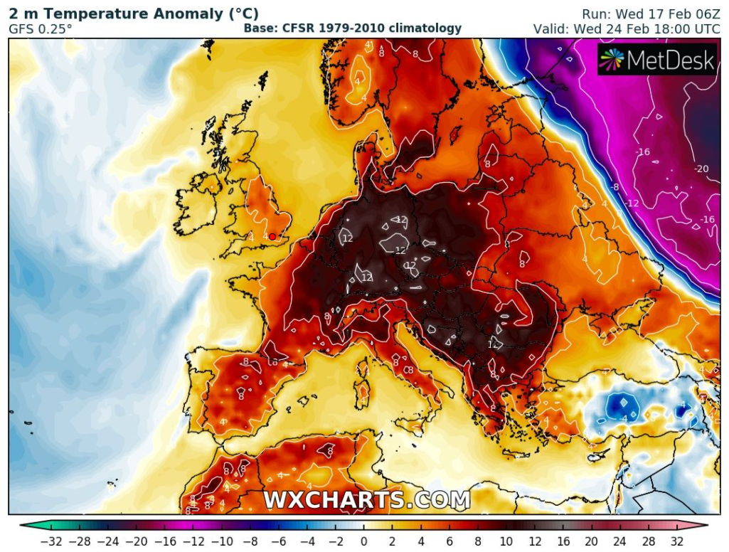
Outlook: Remaining settled, so mostly dry with some bright or sunny spells. Perhaps a south-easterly airflow setting up, so becoming a little cloudier and cooler as the wind freshens. Little rain to speak of and no sign of winter returning as we enter into Spring.

Here’s how the average temperatures panned out in 2020.

Follow @ChadWeather on Twitter for the latest forecasts.

Thanks for reading.
Jon

Forecast Issued: Wednesday the 24th of February 2021 at 7:50pm

Continuing mild – Thursday 18th February 2021 – Sunday 21st February 2021

Hi all,

The snow and bitterly cold air from last week feels like a distant memory after temperatures lifted to double-figures this week for the first time since mid-December.

Thursday: A spell of heavy rain for the morning commute followed by brighter skies and some heavy showers. Breezy and turning fresher. Max 8°C

Friday: Low pressure out in the Atlantic will control our weather bringing strong south-westerly winds, so milder once again. Mostly cloudy and dry for the morning but a risk of some rain arriving later in the day. Max 11°C

Weekend: Above average temperatures.

Saturday: Windy with some patchy rain, so some drier slots and feeling very mild for the time of year despite the wind. Max 13°C

Sunday: Morning drizzle giving way to bright spells and a better afternoon. Not as windy and the mild conditions continue. Max 12°C

Outlook: Daytime temperatures look set to stay in or close to double-digits for the remainder of the month with some spells of rain and brighter interludes in between. No sign of any late-winter cold, snow or even frosts. Will March bring one last cold snap I wonder?

Temperatures will stay above the average for the rest of the month; with parts of Europe expectionally mild next week – the recent frozen, snowy spell long gone.

Follow @ChadWeather on Twiiter for the latest forecasts.

Thanks, as always for reading.
Jon

Forecast Issued on Wednesday the 17th of February 2020 at 6:05pm
Image: http://www.wxcharts.com

The cold continues but a much milder outlook – Thursday 11th February 2021 – Sunday 14th February 2021

Hi all,

Brrrrr! What a cold week it has been, with bitterly cold daytime temperatures (no ice days here though) and a gusty wind leading to a biting wind-chill from the east/north-east. I have stopped myself calling it the Beast from the East for us, as I think it’s not as cold and as snowy (away from the hills) as I rate a Beast from the East to be, you know, like February 2018. Due to the easterly set-up, some have seen more snow than others but everywhere has felt the chill. Tuesday night some areas saw -7°C and tonight could be even colder – but change is set to arrive next week.

Thursday: A severe frost to start with icy patches. A dry day with some sunny spells and a slight breeze developing. Still very cold. A frost to come overnight but not as severe as we will have a steady wind blowing. Max 2°C Min -3°C

Friday: Another dry day expected but slightly windier making it feel raw and with low dew points there will be a significant wind-chill. Frost early and late despite the wind. Max 1°C Min -2°C

Weekend: Some snow before the mercury rises.

Saturday: A strong south-easterly wind setting in. Mostly cloudy with a few bright spells and perhaps the odd snow flurry or light snow trying to come in from the west. There is currently a warning in place for several cms of snow but I’m not convinced. Bitterly cold especially in the wind. Low dew points and feeling more like -7°C. Max 1°C Min 0°C

Overnight Saturday: Any snow (if it even starts) is expected to fizzle out quickly then temperatures will rise as winds turn to a south-westerly or southerly.

Sunday: If the forecast goes to plan (i.e. most likely scenario) then another cloudy day with a fresh wind but the temperature rising further as milder air and some rain at times moves in. Windy. Max 7°C Min 3°C

Southerly winds by Monday as temperatures return to above normal

Outlook: Much milder, 10-12°C possible, windy with some further rain and a rapid thaw of any snow.

Follow @ChadWeather on Twitter for the latest forecasts.

Thanks for reading,
Jon

Forecast Issued: Wednesday the 10th of February 2021 at 8:10pm.
Image: http://www.netweather.tv

Coldest spell of Winter on the way – Thursday 4th February 2021 – Sunday 7th February 2021

Hi all,

The final third of winter is here and this starts after the coldest January for a decade. We haven’t seen any bitter cold, but that’s about to change. No Beast from the East on the way but a biting wind-chill and snow arriving from the east.

Thursday: Rain, with some sleet and wet-snow on the Pennines, will push northeast during the early morning. Bright spells and a few showers will follow and temperatures lift to become quite mild. Max 9°C

Friday: Further showers or longer spells of rain with it turning a little cooler later in the day. Change is waiting in the ‘winds’. Max 7°C

Weekend: Turning much colder with some snow.

Saturday: Winds swing to the northeast during the day and with it some wintry showers pushing in, turning more so to snow overnight. Breezy. Max 4°C

Sunday: Raw biting easterly winds with snow showers coming inland from the North Sea. These will be most frequent in the east with snow-cover for many. Sub-zero wind-chill making it feel like -5°C with 25-30mph gusts. Ice and further snow showers overnight. Max 1°C

SUNDAY – Snow showers look set to pile in from the North Sea with some filtering over the Pennines/hills into our region. Fewer the further west you go.

Outlook: Very cold conditions to continue most of the week with further snow showers on Monday then it looks generally cloudy but drier. Hints at milder weather with rain, preceded by snow, coming in from the Atlantic towards the weekend but this is not set in stone.

January 2021 Stats

Max 9.7°C (20th)
Min -3.7°C (7th)
Av. 2.6°C
Av. Dew Pt 1.3°C
Wettest 41.4mm (20th)
Av. Humidity 91%
Av. Barometer 1011.6 hPa
Max Gust 33mph (30th)
Av. Wind Direction WSW
Rain 176mm
Rain Registered Days 24
Dry Days 7
Air Frosts 14
Snow Falling Days 10

Follow @ChadWeather on Twitter for the latest weather forecasts.

Thanks,
Jon

Forecast Issued: Wednesday the 3rd of February 2021 at 8pm.
Image: http://www.netweather.tv