
Hi all,
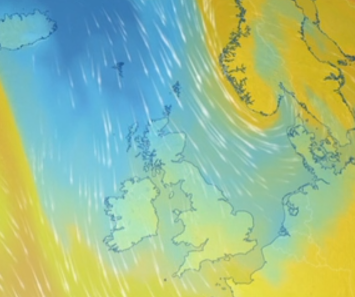
We needed the rain today (Wednesday). It turned out to be the wettest day since the 24th of March with over 15mm falling. But, this came via showers, streaming southeastward, so there will be some local variations in today’s rainfall amounts.
We’ve been stuck under a cool air mass for most of this week and temperatures have been disappointing. That said, where we have had sunny spells, it still feels warm at this time of year if you can get some shelter from the wind. A lot of people are crying out for some heat, even some want a heatwave. You’ll see it in the media this week, that “heat is on the way”, all because there are signs of the weather improving towards the end of the month. This is certainly not set in stone, so as always, do not take the media reports literally.
Thursday: A day of bright spells and showers. Again, some of these could be heavy with hail and thunder. Still feeling cool for the time of year. Max 13°C Min 5°C Max Gusts 25mph
Friday: The low pressure that has been bringing us showers recently will now be moving away into the North Sea and into the continent. So a drier day is expected with bright spells and any showers expected to be in the east with just the odd one slipping in from the Irish sea in the west. Clear skies overnight, leading to a cold one with a touch of ground-frost. Max 14°C Min 3°C Max Gusts 20mph
Weekend: Saturday looks best.
Saturday: A brief ridge of high pressure will nudge in. So, after a chilly start we can expect a morning of sunny spells and with the sun strong at this time of year it will feel pleasant especially with the light winds. Fair weather cloud is expected to bubble up for the afternoon which will spoil the sunshine. Thicker clouds from the west could bring an isolated shower later in the day. Temperatures still below average. Max 14°C Min 7°C
Sunday: A weather-front is expected to drift in from the west and this will bring a spell of cloudy conditions with showers at times. With winds now swinging to a westerly direction, it is expected that the temperatures will rise slightly. Max 16°C Min 7°C Max Gusts 20mph
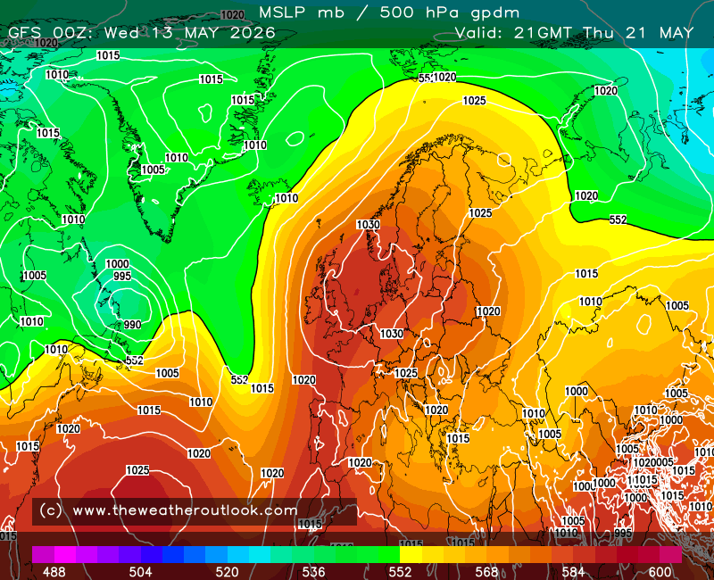
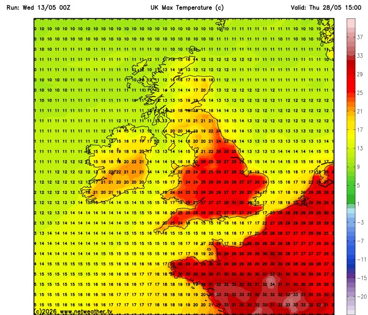
Outlook: The highlight of next week’s weather is that temperatures will return to normal or even slightly above by the end of the week, with some computer models suggesting that temperatures could get into the 20s. But for now, that is too far ahead to confirm. High pressure will be to the east/southeast of the UK and low pressure will be to the northwest. We will be sandwiched in between, so expect it to be breezy with sunny spells and occasional showers. In the drier interludes and when the sun is out and with the temperatures rising, it will feel more like May.
Follow @ChadWeather on X and Bluesky for the latest forecasts and warnings.
Thanks,
Jon
Forecast Issued: Wednesday the 13th of May 2026 at 6:02pm
Images: http://www.netweather.tv , http://www.theweatheroutlook.com & BBC Weather
