Thunderstorms easing and turning fresher – Thursday 18th June 2020 – Sunday 21st June 2020

Hi all,

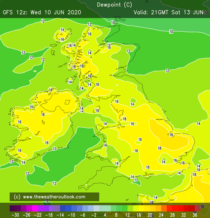
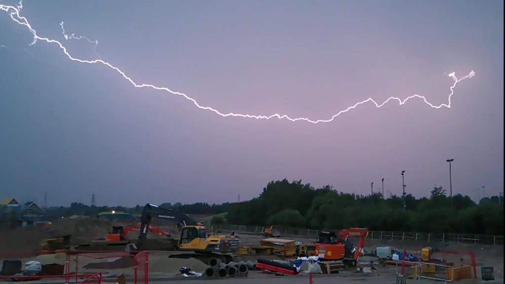
Well that was a lively few days as isolated thunderstorms delivered record-breaking rainfall and flash-flooding. We’ve certainly made up for a dry few months but that said, not everywhere saw these storms and remain desperate for some rain.

Record-breaking yesterday as the afternoon storm dropped 23.2mm in 53 minutes – the highest rainfall total in any 1-hour period (4:06pm-4:59pm). I have records since August 2012. 14.8mm of that fell in just 17 mins (4:07pm-4:24pm). Then the evening’s storm (total 13mm) at its peak, dropped 8mm in 8 mins!!

Lightning in Chadderton during Tuesday evening’s storm

Thursday: A band of rain will move northwest across the region, arriving early-morning. This will hang around for most of the day. Perhaps the odd rumble of thunder but this is a more general area of rain, rather than isolated developing thunderstorms. Still humid. Max 18°C

Friday: A better day all round, plenty of sunny spells on offer, but still some isolated showers for the afternoon, which again could be thundery and beefy. Warm. Max 20°C

Weekend: Turning fresher.

Saturday: Sunny spells becoming bright spells as cloud thickens from the west. Rain will arrive later but not expected until overnight. Becoming breezy. Max 20°C

A cold front will bring rain overnight on Saturday and introduce fresher air for Sunday

Sunday: Early rain moves on then sunny spells developing. Still warm but we will have lost the humid air so feeling fresher. Windy. Max 19°C

Outlook: Looks to settle down as long as high pressure can build from the south-west. Plenty of warm sunny spells, perhaps becoming very warm for a day or so midweek. Overall drier.

Follow @ChadWeather on Twitter for the latest weather forecasts and warnings.

Thanks,
Jon

Forecast Issued: Wednesday the 17th of June 2020 at 1:45pm
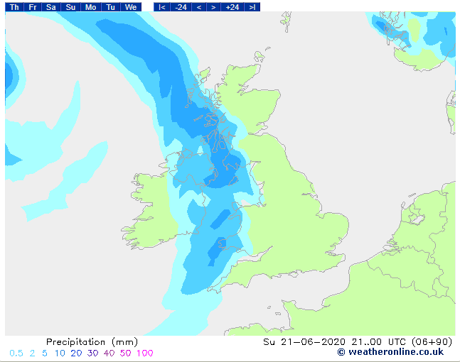
Image: https://www.weatheronline.co.uk/

Becoming humid – Thursday 11th June 2020 – Sunday 14th June 2020

Hi all,

It’s been a bit of an unsettled week, something we haven’t been used to since lockdown began but at least we’ve had some welcome rain (27.2mm this month). Warmer air is on its way back.

Thursday: A cloudy morning with some showers pushing in from the east. It will tend to be a drier and brighter afternoon but rain back late-evening. Feeling warmer despite it being particularly windy with 35mph gusts. Max 17°C

Friday: Remaining windy with some morning showers pushing away. Bright spells follow and it will start to feel a little humid. Max 19°C

Weekend: Muggy and warm with winds easing. Risk of a storm.

Saturday: Any early heavy rain moves away to the north then warm sunny spells develop and not as windy as recently. Winds will start to shift southeasterly and it will become humid and with this muggy air, a few hefty showers or even thunderstorms could arrive for the evening or even late-afternoon. Max 21°C

Dew points on the rise meaning it will feel muggy and humid this weekend

Sunday: Overall a drier day for most with just a scattering of showers. Still warm and humid (perhaps not as much as Saturday) with some sunny spells. Most likely to be the best day of the weekend. Max 22°C

Outlook: Mostly settled at first with warm bright spells and the odd shower. Temperatures around 20°C. General thinking after that is, warm, a little humid at times with a risk of downpours/thunderstorms.

Follow @ChadWeather on Twitter for the latest weather forecasts.

Thanks,
Jon

Forecast Issued: Wednesday the 10th of June at 6:25pm
Image: https://www.theweatheroutlook.com/

Thundery Breakdown – Thursday 25th June 2020 – Sunday 28th June 2020

Hi all,

By heck it’s hot! Not record-breaking like last year but still hot enough for sweaty days and some uncomfortable nights with temperatures not dropping much below 20°C but it’s not lasting.

As always at this time of the year when sunny – HIGH UV LEVELS – Wear sun-cream.

Thursday: Another scorching and hot day with plenty of sunshine. A little bit of cloud might bubble up later. Humid and a very warm night. Max 30°C

Thunderstorms moving NE Friday afternoon as the heatwave breaks

Friday: Well that didn’t last long did it. Another very warm and humid day but cooler. After some early sunshine the clouds will arrive. Thundery downpours are expected to break out during the day with a risk of localised flooding, frequent lightning and hail. ⚠️ Warning in place. Max 24°C

Weekend: Low pressure in control

Saturday: Fresher conditions will be spreading in on a keen southwesterly wind. Sunny spells and frequent showers the order of the day, some heavy and perhaps thundery but not as intense as what’s possible on Friday. Max 19°C

Sunday: Bright spells and scattered showers. Certainly feeling like we are back to the norm with temperatures into the late-teens. Windy. Max 17°C

Outlook: Temperatures will recover a little and it looks mostly cloudy, some sunny spells and spells of showers.

Follow @ChadWeather on Twitter to keep up with the latest weather forecasts.

Thanks,
Jon

Forecast Issued: Wednesday the 24th of June 2020 at 5:35pm
Image: https://www.wxcharts.com/

Summer’s gone already – Thursday 4th June 2020 – Sunday 7th June 2020

Hi all,

All good things have to come to an end. We’ve had a great spell of sunny, dry and very warm to hot weather, which ended with us having the sunniest Spring on record. May was also the driest month I have ever recorded. At least the rain is welcome; we just don’t want it to hang around too long. Now Summer is officially here, will the decent weather return anytime soon?

Thursday: Breezy with mostly cloudy skies, although a bright start is possible. Some showers filtering down on the northerly wind. Cool. Max 14°C

Friday: Bright spells and showers, some heavy and most frequent in the east. Cool and very windy later with 35-40mph gusts. Max 13°C

Weekend: Unsettled. Feeling cold on Saturday.

Unusual for the time of year – a deep low in the North Sea feeding down cold NNW winds

Saturday: Low pressure in charge so a completely different set-up to last weekend. Feeling cold in a strong wind with bright spells and showers. Some heavy with a rumble of thunder possible. 40mph gusts. Max 11°C

Temperatures only just into double-figures on Saturday

Sunday: Breezy but not as windy as yesterday and although there will still be some showers around, they are expected to be fewer and overall not as chilly. Max 14°C

Outlook: Looks like a couple of drier days on Monday and Tuesday but after that, sunshine and scattered heavy showers. Temperatures recovering and close to 20°C again.

May 2020 Stats

Max 25.2°C (20th)
Min 0.2°C (14th)
Av. 12.2°C
Av. Dew Pt 5.9°C
Wettest 2.4mm (22nd)
Av. Humidity 68%
Av. Barometer 1022.7 hPa
Max Gust 43.7mph (22nd) (record for May)
Av. Wind Direction W
Rain 7.4mm (overall record)
Rain Registered Days 5
Dry Days 26 (good work that!)
Air Frosts 0

Follow @ChadWeather on Twitter for the latest weather forecasts and information.

Thanks,
Jon

Forecast Issued: Wednesday the 3rd of June at 14:35
Images: https://www.wxcharts.com/