Hi all,
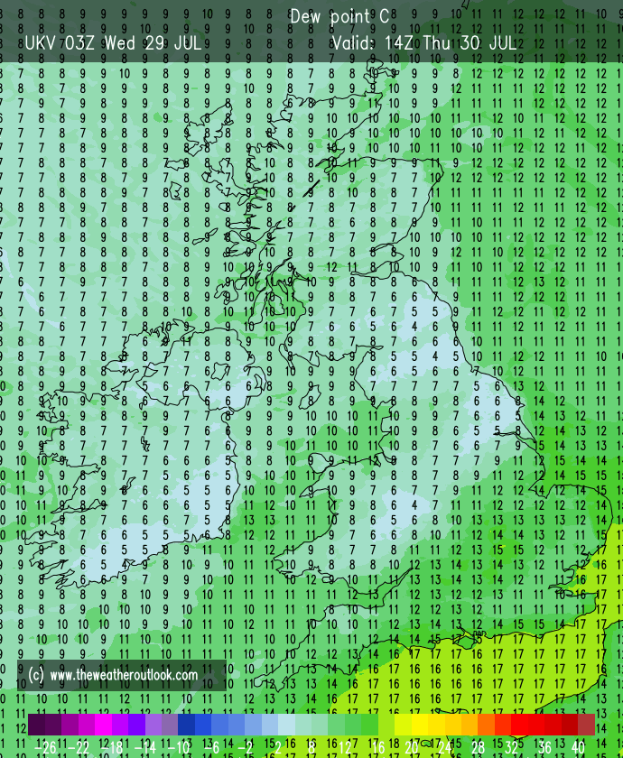
We are currently “enjoying” another hot and humid spell of weather but unfortunately it’s brought with it a lot of cloud as we are in between low pressure to our northwest and high pressure to our southeast.
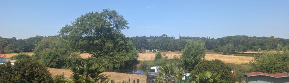
I’ve just been away to Stratford-upon-Avon and staying in a lodge in the heat isn’t pleasant when it comes to sleeping. Just left today as it’s set to reach 30°C. Parts of the southeast could see 35°C today.
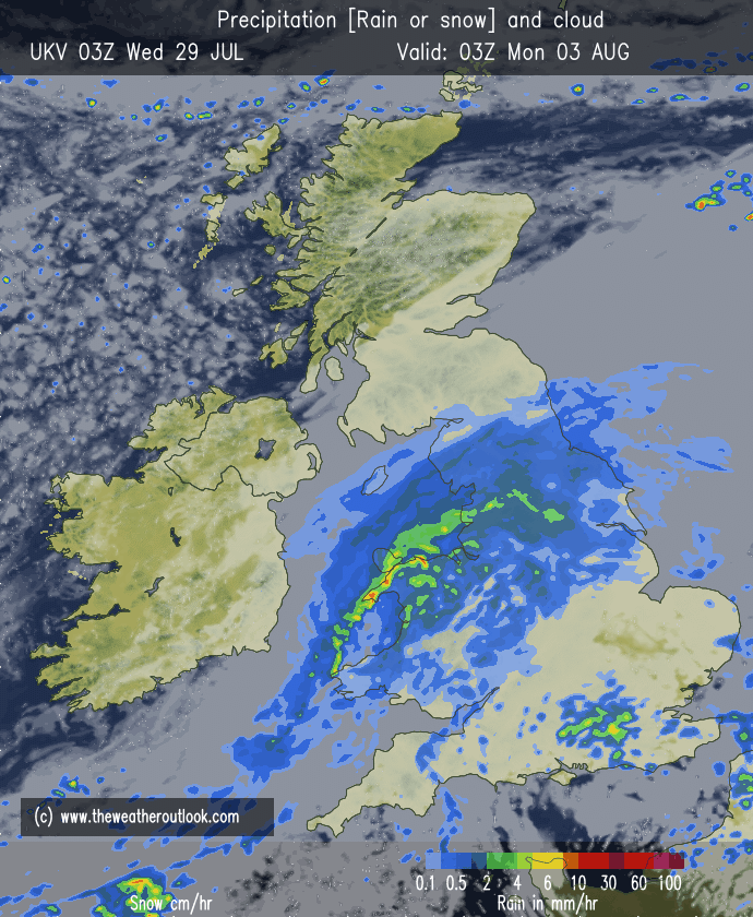
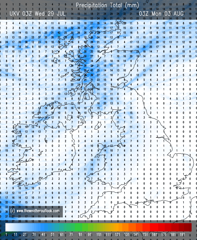
It’s been declared today that officially half of England are in a drought. July has been exceptionally dry and in some places completely dry. We’re not in a drought but we are in need of some rain. Apart from a few showers, it looks like Monday and Tuesday offer the chance of rain but even this far out that forecast can still change.
Thursday: A cold-front will be moving through during the morning, perhaps will some rain left on it and then we will eventually lose the heat and humidity with fresher air arriving. Once early cloud clears and perhaps a shower then a decent day with sunny spells and breezy conditions. Max 20°C Min 10°C Max Gusts 25mph
Friday: Little change. Sunny spells, breezy and the chance of a few showers, especially early on and also later in the day. Max 19°C Min 10°C Max Gusts 20mph
Weekend: Winds easing and feeling warmer once again.
Saturday: Sunny spells and the chance of a shower, mostly in the north. Elsewhere dry and pleasant. Breezy. Max 21°C Min 11°C Max Gusts 20mph
Sunday: Lighter winds and warm sunny spells but these will turn hazy later as low pressure brings rain from the southwest overnight and into Monday. Feeling humid later and overall a warmer day. Max 23°C Min 13°C Max Gusts 10mph
Outlook: It looks wet on Monday and Tuesday but rain will peter out quickly and it’s likely that high pressure builds in again bringing sunny spells and drier weather.
Follow @ChadWeather on X and Bluesky for the latest forecasts and warnings.
Thanks,
Jon
Forecast Issued: Wednesday the 29th of July 2026 at 5:53pm
Images: http://www.theweatheroutlook.com & http://www.wxcharts.com
 Oldham Weather