Thursday 27th April 2017 – Bank Holiday Monday 1st May 2017

Hi all,

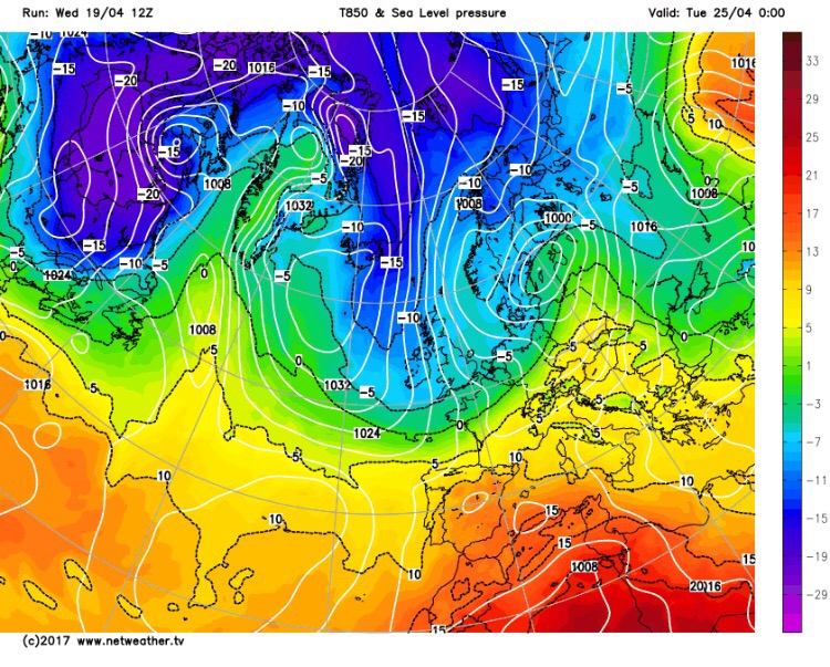
Brrrrrrr, the blast of cold air from the Arctic arrived earlier this week and although it didn’t last too long it certainly brought a chill to the bone. Grass temperatures dropped to -4°C, we recorded an air frost on Monday night and on Tuesday we saw some towering April showers which brought hail, sleet, graupel, thunder & lightning and even snow. If you’re after some warmth then good news on the horizon.

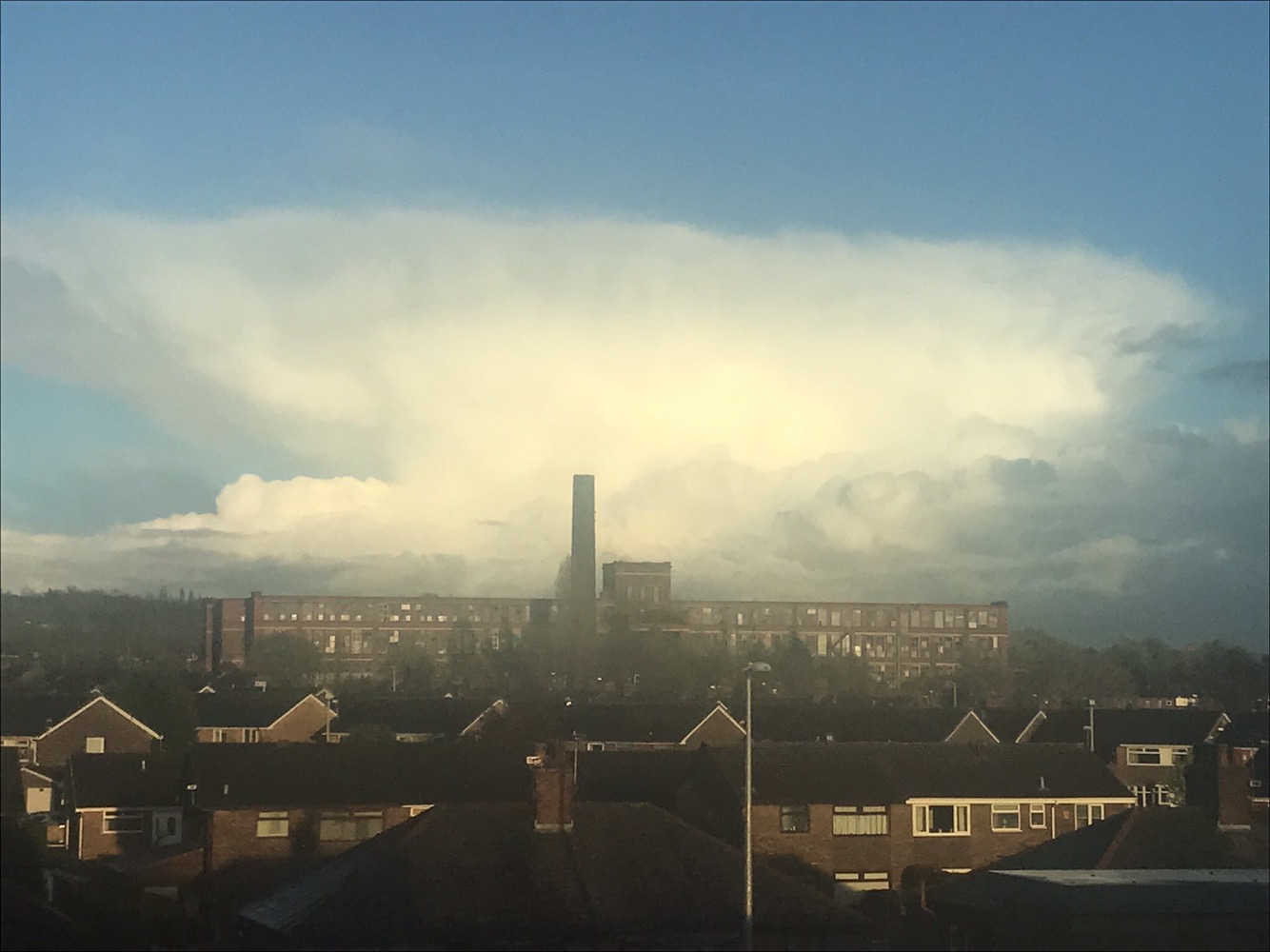
Monstrous April Shower on Tuesday. Photo: @tomjajajavo

Thursday: A disappointing day with plenty of cloud that has spilled down from the north. This time the airmass is milder than recently so temperatures slightly higher. However, with little sunshine and some patchy rain it will feel chilly. Max 11°C

Friday: Bright spells with just the risk of a shower here and there. Light winds and pleasant in any sunshine. Max 12°C

Saturday: A dry day with nice bright or sunny spells. Feeling milder. Max 13°C

Sunday: Little change; sunny or bright spells and dry. Cloud could thicken later on in the day with a risk of rain late-evening and overnight. Max 14°C

Bank Holiday Monday: Some uncertainty at this stage but it looks like rain will push up from the south or southwest leading to a disappointing day. Subject to change of course, so look out for Twitter (@ChadWeather) updates. Max 13°C

Beyond the one-day holiday: Hopefully turning warmer as high pressure builds and temperatures into the mid- to late-teens.

Thanks,
Jon

Forecast Issued on Wednesday the 26th of April 2017 at 12:30pm

Thursday 20th April 2017 – Sunday 23rd April 2017

Evening all,

Yes evening. I’ve been so busy today the blog has had to take a back seat. Well, finally here it is, so read on to see what’s in store for the coming 4 days. 

Headline: The quiet weather continues and so does the dry April. With not a lot of rain forecast for the rest of the month it’s looking like we will only receive about 25% of the month’s average rainfall. Very dry indeed. 

We’ve had high pressure quite close to the U.K. during this month and it has brought us a lot of dry weather but unfortunately a lot of cloud as well. 

Thursday: A little milder than recently with a westerly breeze. Plenty of cloud which might produce the odd spot of rain here and there. Brightness limited. Max 13°C

Friday: Little change but during the day a cold front moves down from the north introducing a little rain and behind it some cooler air. Max 12°C

Weekend: Fresher but brighter. 

Saturday: Bright spells and mostly dry. A cooler feel once again. Max 10°C

Sunday: Not much change. A lot of dry weather and some bright spells. Max 12°C

Colder air from the north next week as the cool dry April continues

Outlook: A couple of showers and temperatures below average as the air comes down from the north. Possible overnight ground frosts. 

Follow @ChadWeather on Twitter for your latest forecasts. 

Thanks,
Jon

Image: www.netweather.tv

Issued: 9pm on Wednesday the 19th of April 2017

Thursday 13th April 2017 – Bank Holiday Monday 17th April 2017

Hi all,

I hope you all enjoyed our first warm spell of the year last weekend and got some sunbathing or a BBQ in before the weather changed quickly on the Sunday afternoon. In fact, the temperature dropped from 18°C to 11°C in just a couple of hours.

Big temperature drop last Sunday as winds turned NW-ly.

So, will the warm sunny weather return in time for Easter?

Headline: Changeable with Monday, followed by Saturday, looking the best days of the Easter Holidays.

Thursday: A day of some bright spells but generally cloudy. We might catch the odd shower during the morning. Cool breeze. Max 11°C

Good Friday: Don’t expect much in the way of sunshine. Mostly cloudy with a spell of light rain likely which will turn drizzly later. Cool. Max 10°C

Saturday: Cloudy with some showers during the morning but hopefully an improvement into the afternoon as the showers ease and it turns brighter. Max 10°C

Rain moving in on Easter Sunday

Easter Sunday: Any early brightness fades as cloud thickens and rain arrives from the west. A little uncertainty on how wet it gets as the rain might slip a little further south. Feeling cold with a freshening breeze. Max 10°C

Bank Holiday Monday: Hopefully, a little ridge of high pressure moves across the country, so after a chilly start with a possible ground frost, a dry day with sunny spells and a little milder. A chance of some rain from the west late-afternoon or into the evening. Max 12°C

A chilly northerly wind later next week

Looking Ahead: Some spells of showery rain but not amounting to much. Later in the week it remains cool as winds could turn northerly.

Keep up to date with your local forecast by following @ChadWeather on Twitter.

Thanks,
Jon

Images: https://www.wunderground.comhttp://www.theweatheroutlook.com

Forecast Issued: 11am on Wednesday April the 12th 2017

Thursday 6th April 2017 – Sunday 9th April 2017

Hi,

This has to be one of the quietest forecasts for a while. We have high pressure anchored across the U.K. so not a lot happening, however a warm weekend ahead! BBQ time on Sunday if we just hang on to the sunshine?

Thursday & Friday: A lot of dry weather with variable amounts of cloud. Where the cloud gets thin enough, we will see some bright spells and equally, where slightly thicker, then some localised drizzle, especially on higher ground. Feeling cool. Max 11°C

Saturday: High pressure still in charge and hopefully more in the way of sunshine (especially later on) and therefore warmer as winds turn southerly bringing drier air. Max 15°C

Sunday: Looking a decent day but the only downside is the sunshine that develops might become hazy and it could be cloudier if you’re planning to go to the west coast. Warm sunshine developing inland and somewhere could see the first 20°C of the Spring.  Later on Sunday and into Monday the high will be slipping away towards Europe so clouds increasing from the west and becoming cooler. So a good warm spell of weather this weekend but it doesn’t last. Max 20°C

Outlook for Easter: A tricky one as low pressure (rainy) will return but then high pressure (settled) tries to force its way back in. At the moment it looks like Easter will start with some rain at times and cooler but dry up in time for Easter Sunday. As always look out for updates on Twitter at @ChadWeather.

March 2017 Stats

Max 16.1°C (30th)
Min 0.1°C (2nd)
Wettest 19.2mm (17th)
Windiest 34mph (18th)
Rain 104.2mm (above av.)
Rainy Days 25
Dry Days 6
Snow Falling Days 1
Snow Lying Days 1

Thanks,
Jon