
Hi all,
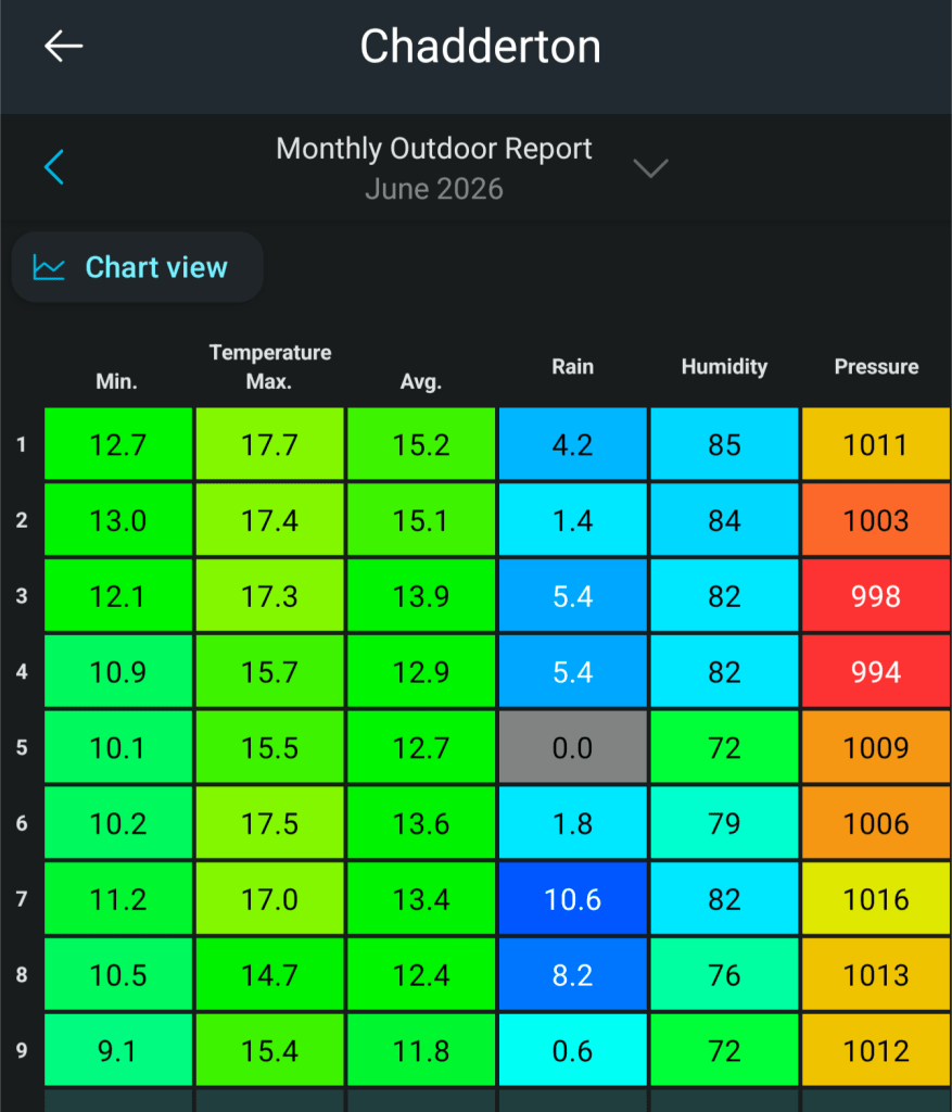
It’s been a dismal June so far with only an average temperature of 13.4°C and 1 day where rainfall wasn’t measured. 38mm of rain fell in the first 9 days of June and there’s more to come before we slip into, perhaps only briefly, a much warmer, drier and sunny spell of weather.
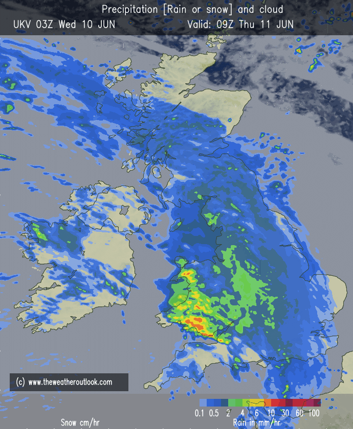
Thursday: A miserable morning with heavy rain which will be slow to clear during the afternoon. A little drier towards evening and a muggy one. Windy later too. Max 17°C Min 12°C Max Gusts 25mph
Friday: Showers for the morning and windy once more. Drier and warmer for the afternoon. Max 20°C Min 11°C Max Gusts 30mph
Weekend: Improving.
Saturday: Cloudy for the morning with a few showers possible. Winds easing later, sunny spells developing. Max 18°C Min 11°C Max Gusts 30mph
Sunday: Sunny spells develop more widely, dry and very warm, possibly warmer than the current forecast suggests. Max 22°C Min 12°C Max Gusts 20mph
Outlook: Very warm for a time then turning more unsettled from the west as cooler air arrives.
Follow @ChadWeather on X and Bluesky for the latest forecasts and warnings.
Thanks for stopping by to read and just a quick blog this week as it’s another busy day for me.
Thanks,
Jon
Forecast Issued: Wednesday the 10th of June 2026 at 5:12pm.
Images: http://www.theweatheroutlook.com
