Hi all,
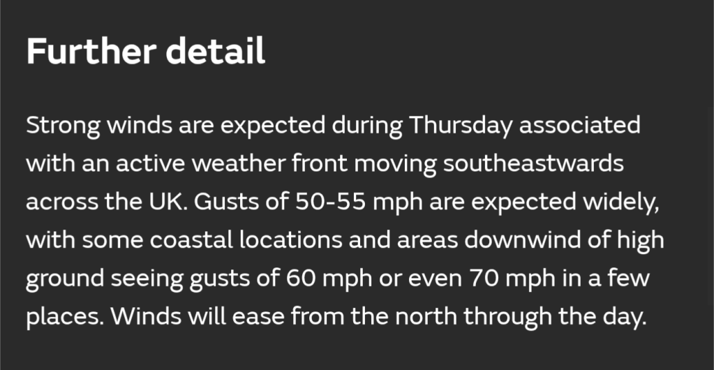
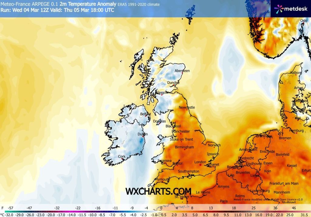
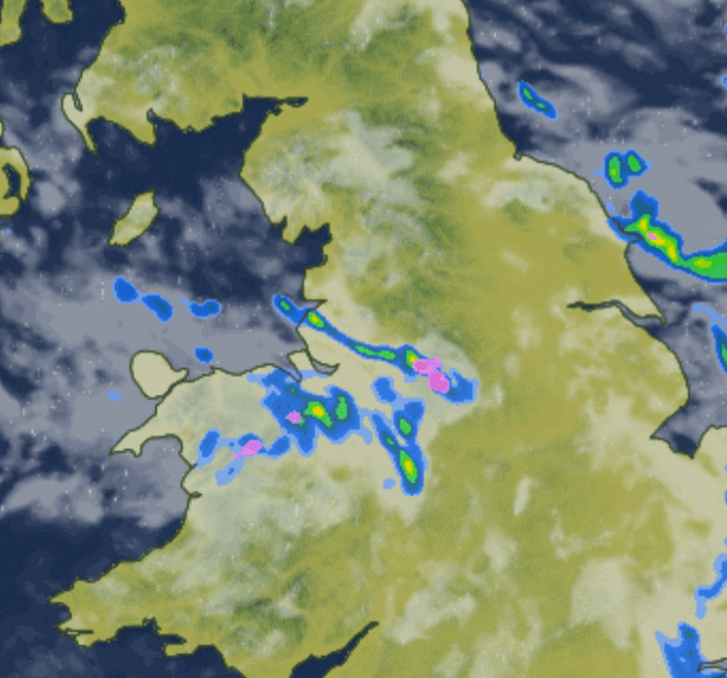
I hope you all enjoyed the Spring weather last week. Slowly but surely, we have now slipped back into unsettled conditions but also much colder air is across the region. Today, Wednesday, has seen a showery theme with reports of sleet, wet-snow, graupel, hail and thunder and lightning.
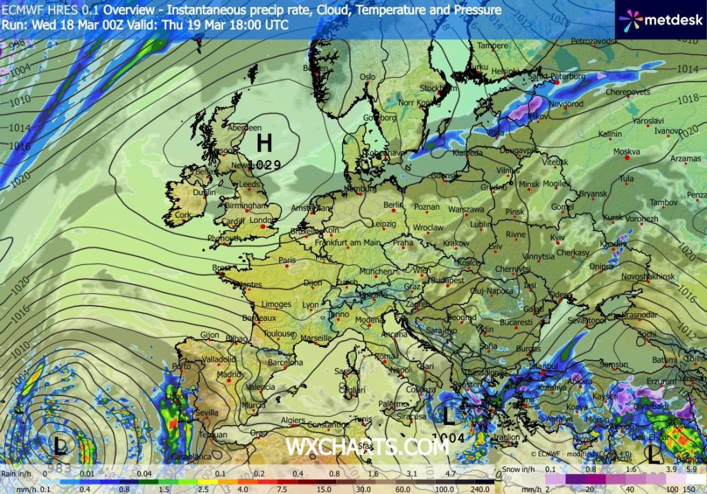
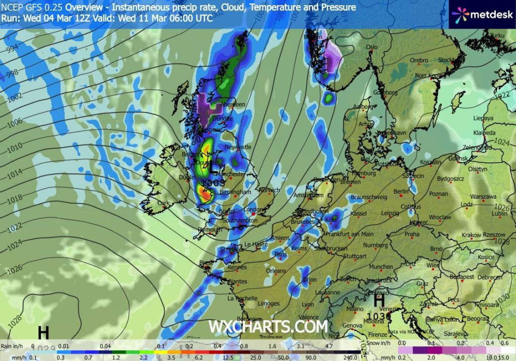
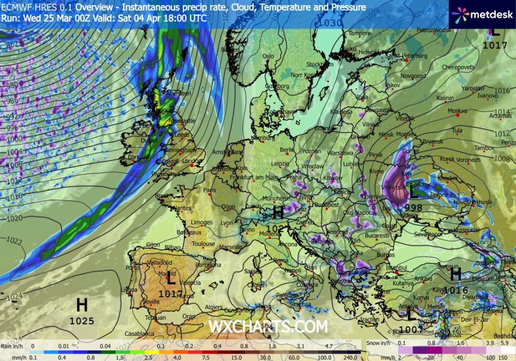
A high pressure to our southwest across the Azores will be trying its best over the next week or so to drift northeast and anchor itself across the UK in time for Easter. At the moment the Easter forecast is flipping and flopping and this time yesterday it was looking decent but now it’s looking unsettled again. It all depends whether this high pressure can make it in across the country. But it’ll be up against weather systems coming in from the Atlantic around the top of the high from the northwest.
Over the next 4 days there will be drier spells in our weather but further rain or showers can’t be ruled out.
Thursday: A frosty start in some parts but also a batch of showers are possible during the morning coming in on a cold northwesterly wind. Otherwise sunny spells for the morning and perhaps the first part of the afternoon before cloud thickens from the west towards evening. Max 8°C Min 5°C Max Gusts 20mph
Friday: A breezy day and it is likely to start cloudy with some rain. This should clear as the day wears on and sunny spells and a few showers are expected for the afternoon. Chilly overnight with a ground-frost. Max 10°C Min 1°C Max Gusts 25mph
Weekend: Saturday looks like the better day.
Saturday: A cold start, especially in the gusty wind. Sunny spells and showers. Hopefully well-scattered. Max 8°C Min 3°C Max Gusts 35mph
Sunday: Cloudy with rain for the morning turning showery later. Windy once again. A little milder. Max 12°C Min 5°C Max Gusts 40mph
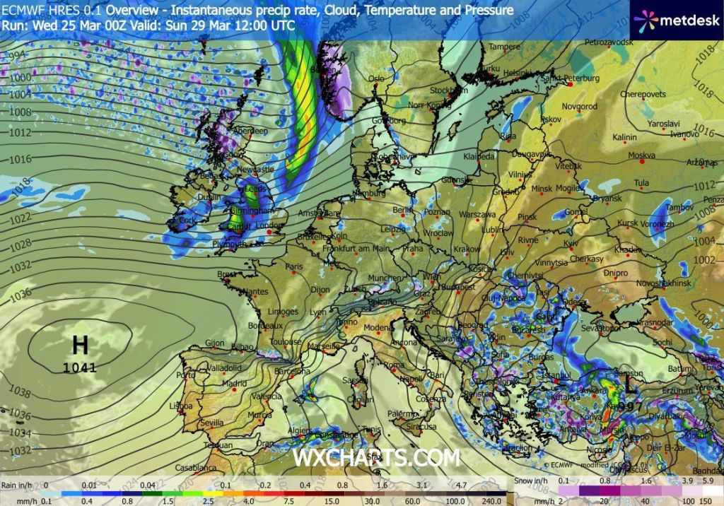
Outlook: Tricky. High pressure to the southwest but rain-bearing weather-fronts coming in from the northwest at times. It only takes the high pressure to win out to bring a lovely and warm Easter. Look out for updates on social media.
Follow @ChadWeather on X and Bluesky for the latest forecasts and warnings.
Thanks,
Jon
Forecast Issued: Wednesday the 25th of March 2026 at 3:55pm.
Images: http://www.wxcharts.com & http://www.theweatheroutlook.com