Hi,
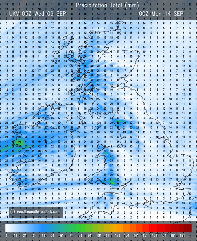
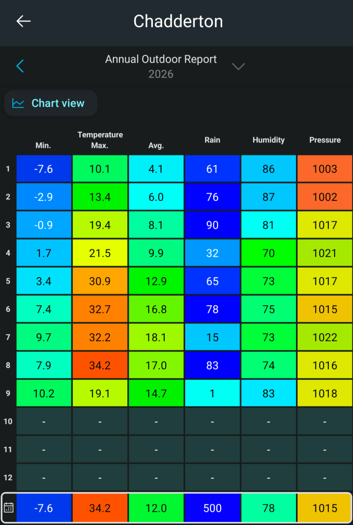
We are well and truly into autumn now and the rain keeps coming with a few drier slots in between. It has now rained every day in September bar three.
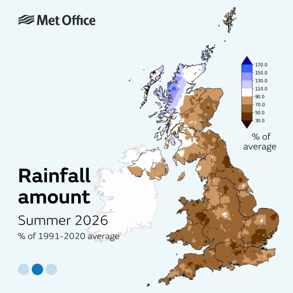
Rainfall is still needed further south in the UK to fill up the reservoirs and we are still below average here in the northwest but it would be nice for the rain to stop and we have a decent spell of weather before September ends. Looking ahead we could well see a short spell of warmer and drier weather with some welcome sunshine.
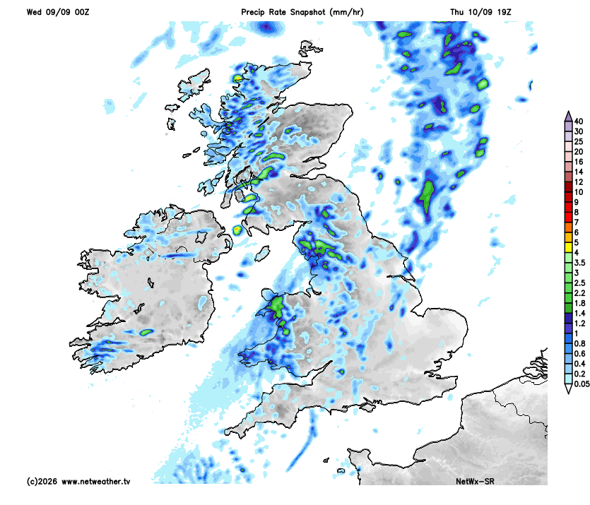
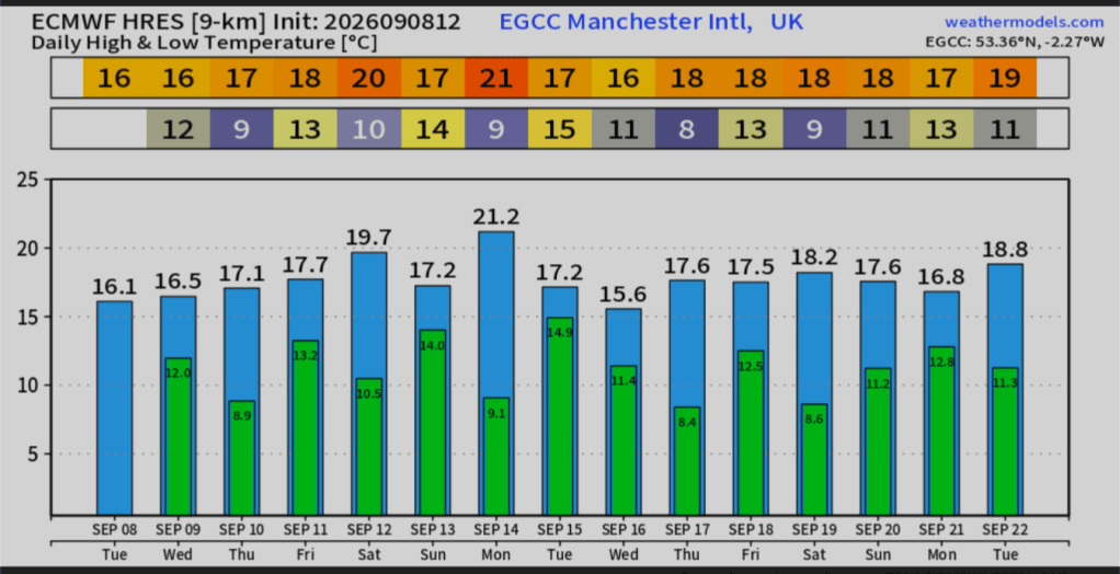
Thursday: Early rain will clear and then we should see some sunny spells for the rest of the morning and early afternoon. Later in the afternoon showers will feed in from the northwest. They should be reasonably scattered but catch one and it could be heavy. Max 16°C Min 9°C Max Gusts 35mph
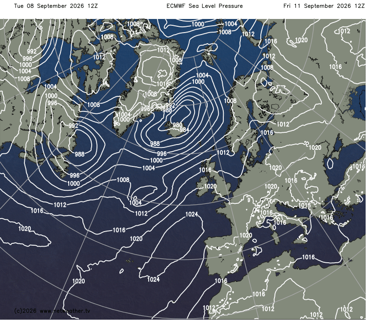
Friday: It looks a windy day and there will be some sunny spells to start, but cloud will soon thicken and we can expect rain to arrive into the afternoon and especially so into the evening with some heavy bursts. Mild overnight. Max 16°C Min 14°C Max Gusts 30mph
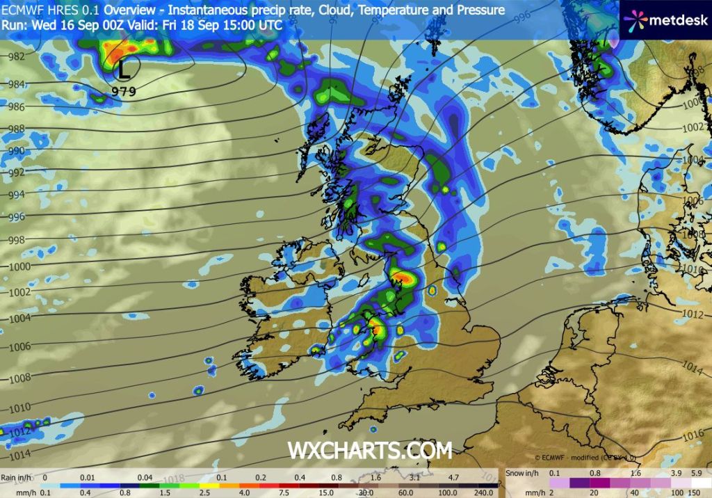
Weekend: Improvements and a little warmer.
Saturday: We should see the thermometer drop a couple of degrees and there will be some sunshine around, but I do expect it to be quite showery, especially during the morning with these showers slowly becoming less frequent into the afternoon. Windy. Max 19°C Min 12°C Max Gusts 30mph
Sunday: I’m hopeful of there being more in the way of sunshine and any showers will be very well-scattered. Again it will be breezy and temperatures perhaps just back down a degree or so on Saturday. Max 17°C Min 13°C Max 20mph
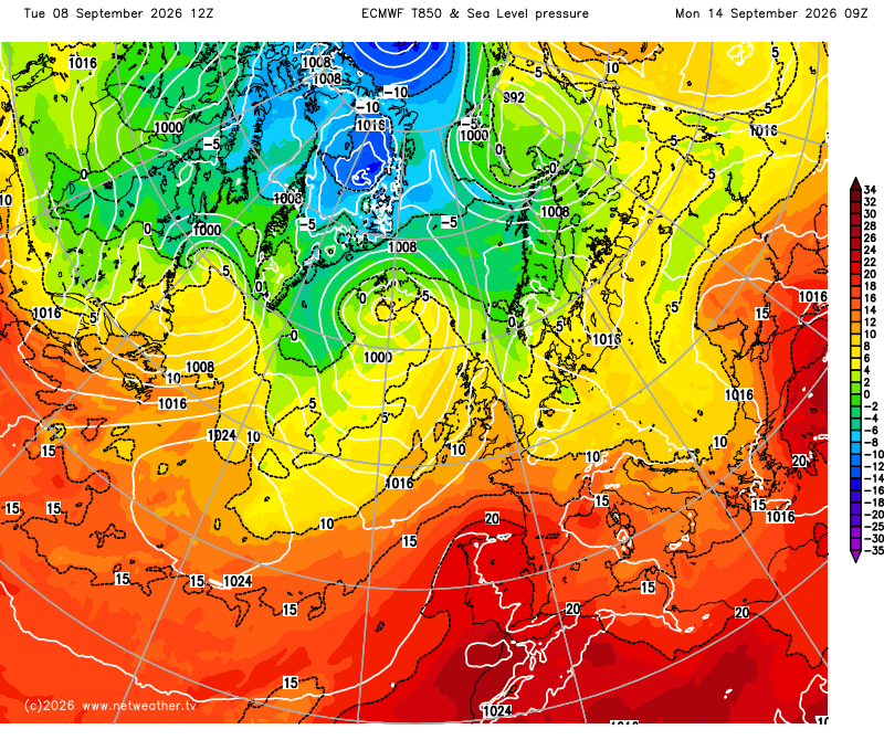
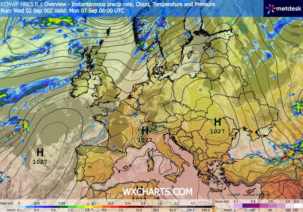
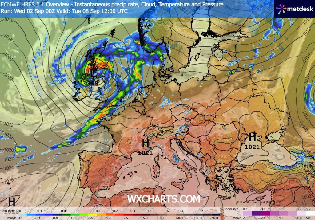
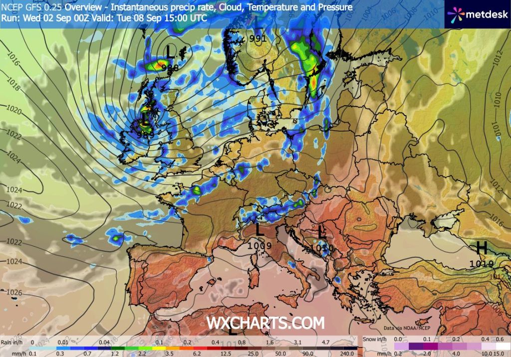
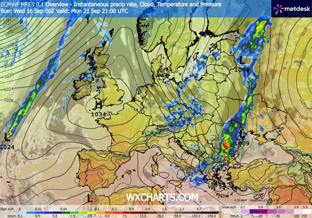
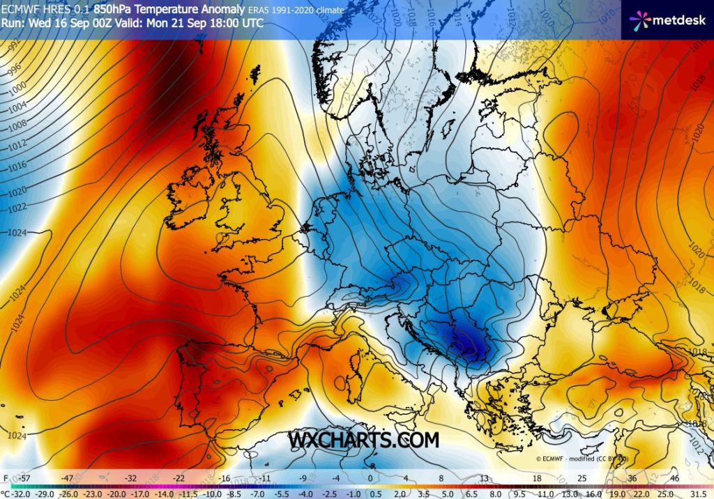
Outlook: High pressure builds in and we can expect several days of warmer, drier and sunnier weather. How long this lasts is uncertain with the risk of showers returning by the end of the week. Temperatures are expected to be in the early twenties so it will feel very pleasant indeed.
Follow @ChadWeather on X and Bluesky for the latest forecasts and warnings.
Thanks,
Jon
Forecast Issued: Wednesday the 16th of September 2026 at 6:35pm