
Hi all,
By heck it’s hot! Not record-breaking like last year but still hot enough for sweaty days and some uncomfortable nights with temperatures not dropping much below 20°C but it’s not lasting.
As always at this time of the year when sunny – HIGH UV LEVELS – Wear sun-cream.
Thursday: Another scorching and hot day with plenty of sunshine. A little bit of cloud might bubble up later. Humid and a very warm night. Max 30°C
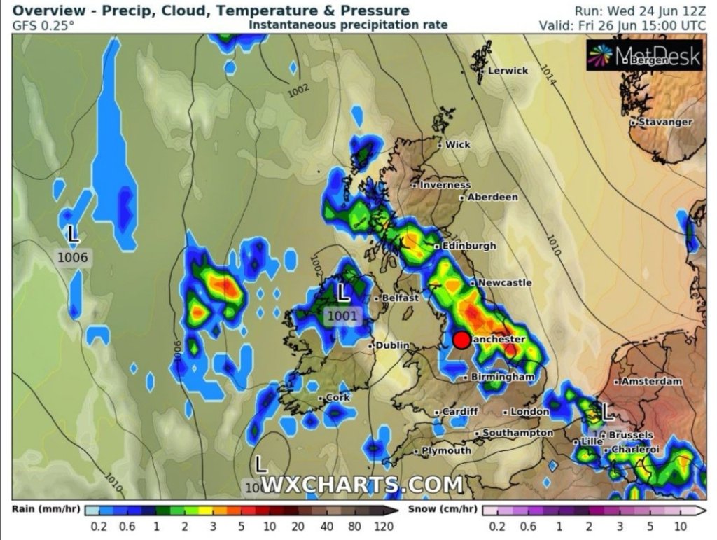
Friday: Well that didn’t last long did it. Another very warm and humid day but cooler. After some early sunshine the clouds will arrive. Thundery downpours are expected to break out during the day with a risk of localised flooding, frequent lightning and hail. ⚠️ Warning in place. Max 24°C
Weekend: Low pressure in control
Saturday: Fresher conditions will be spreading in on a keen southwesterly wind. Sunny spells and frequent showers the order of the day, some heavy and perhaps thundery but not as intense as what’s possible on Friday. Max 19°C
Sunday: Bright spells and scattered showers. Certainly feeling like we are back to the norm with temperatures into the late-teens. Windy. Max 17°C
Outlook: Temperatures will recover a little and it looks mostly cloudy, some sunny spells and spells of showers.
Follow @ChadWeather on Twitter to keep up with the latest weather forecasts.
Thanks,
Jon
Forecast Issued: Wednesday the 24th of June 2020 at 5:35pm
Image: https://www.wxcharts.com/
