
Hi all,
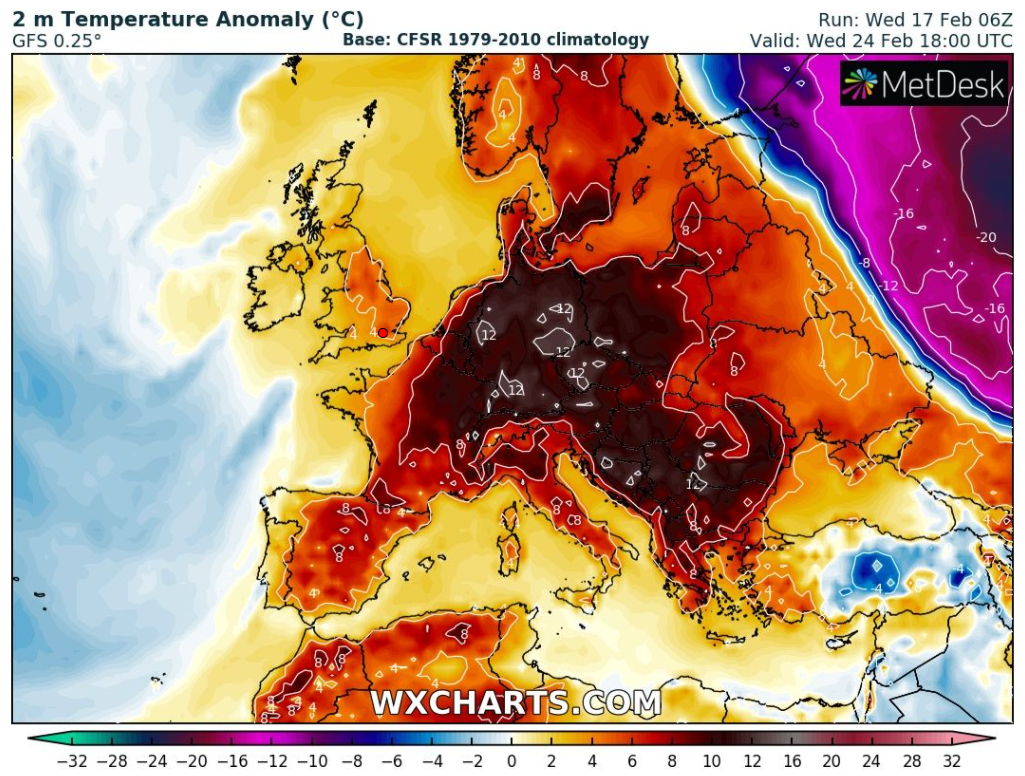
The snow and bitterly cold air from last week feels like a distant memory after temperatures lifted to double-figures this week for the first time since mid-December.
Thursday: A spell of heavy rain for the morning commute followed by brighter skies and some heavy showers. Breezy and turning fresher. Max 8°C
Friday: Low pressure out in the Atlantic will control our weather bringing strong south-westerly winds, so milder once again. Mostly cloudy and dry for the morning but a risk of some rain arriving later in the day. Max 11°C
Weekend: Above average temperatures.
Saturday: Windy with some patchy rain, so some drier slots and feeling very mild for the time of year despite the wind. Max 13°C
Sunday: Morning drizzle giving way to bright spells and a better afternoon. Not as windy and the mild conditions continue. Max 12°C
Outlook: Daytime temperatures look set to stay in or close to double-digits for the remainder of the month with some spells of rain and brighter interludes in between. No sign of any late-winter cold, snow or even frosts. Will March bring one last cold snap I wonder?
Follow @ChadWeather on Twiiter for the latest forecasts.
Thanks, as always for reading.
Jon
Forecast Issued on Wednesday the 17th of February 2020 at 6:05pm
Image: http://www.wxcharts.com
