Hi all,
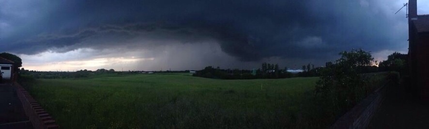
After a lively unsettled spell which saw some torrential downpours and lightning, we have now settled down into a drier, quieter spell of weather.
Thursday and Friday will be quite similar with settled conditions across the region but not exactly with wall-to-wall sunshine. It looks dry but with variable amounts of cloud at times which should burn off to allow some hazy sunny spells to form. It will feel pleasantly warm in any sunshine with temperatures sitting around 21’C. Friday afternoon could see more in the way of cloud with patchy light rain into the evening and this possibly hanging around into the first part of the weekend as a front passes down the county.
The weekend sees high pressure remain close-by which will keep us settled and mainly dry.
Saturday looks slightly cooler than recent days with some thicker cloud and light rain possible in the morning. I’m hopeful it remains mainly dry though with some pleasant sunny spells later on. Highs of 17’C.
Sunday does look better with more in the way of sunny spells developing and remaining dry. A little warmer with highs of 20’C. An outside chance of an easterly breeze picking up.
So not a bad forecast but any cloud encroachment from the north late Friday and Saturday could spoil things a little.
If you are out and about for any length of time in any sunshine, then remember sunscreen. The sun is high in the sky in June and burn-times are at their highest.
Looking ahead it looks settled initially and warm with details uncertain towards the end of next week. Will high pressure hang on?
Follow Jon, @ChadWeather on Twitter.
Cheers
Jon