September ended on a very wet note but overall it was another drier-than-average month which contained some hot days early on; in fact hotter than anything we experienced in August.
Ex-hurricane Sam will disturb the Jet Stream and head between Iceland and the UK this week, allowing for some very warm air to come across the region for a couple of days. After that it’s looking settled, as we keep most of the weather fronts away to the west but I am expecting a lot of cloud and a few misty or foggy mornings.
Thursday: Mostly cloudy with some patchy rain or drizzle in a few sports prone to the south-westerly airflow. On the plus side, it will be warm for the time of year, with temperatures around 5 degrees above average. Max 20°C
Friday: Early cloud, perhaps some patchy rain again, especially the further west you are. Brighter spells for the afternoon and feeling warm despite the breeze. Max 19°C
Weekend: We lose the warmth eventually.
Saturday: Patchy rain moving slowly southeast displacing the warm air late-in-the-day. Some areas staying dry. Max 18°C
Sunday: Drier with plenty of cloud. Some brightness but notably cooler with a north-westerly airflow. Max 15°C
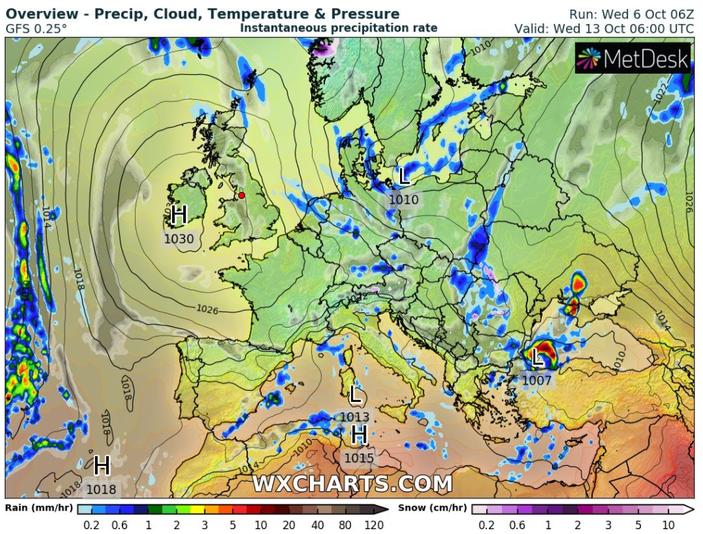
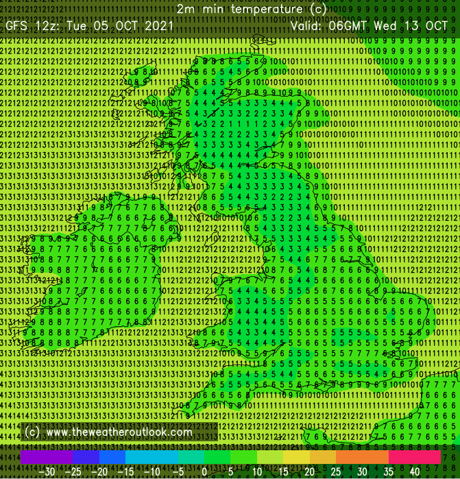
Outlook: Originally it looked like it would be turning warmer again as next week progressed but it’s looking pretty cool at times with a risk of a ground-frost midweek depending on cloud-cover. A lot of dry weather as high pressure builds, which could well turn out to be a ‘cloudy high’ or anticyclonic gloom. Pockets of drizzle where low-cloud sits.


September 2021 Stats
Max 27.9°C (7th)
Min 6.7°C (30th)
Av. 15.2°C
Wettest 32mm (30th)
Av. Humidity 82%
Av. Barometer 1018.3 hPa
Max Gust 26.5mph (30th)
Av. Wind Direction SW
Rain 65.4mm (71% of average)
Rain Registered Days 13
Dry Days 17
Follow @ChadWeather on Twitter for your latest weather forecast.
Thanks,
Jon
Forecast Issued: Wednesday the 6th of October 2021 at 5:05pm
Image: https://wxcharts.com & https://www.theweatheroutlook.com/
