Thursday 1st March 2018 – Sunday 4th March 2018

Hi all,

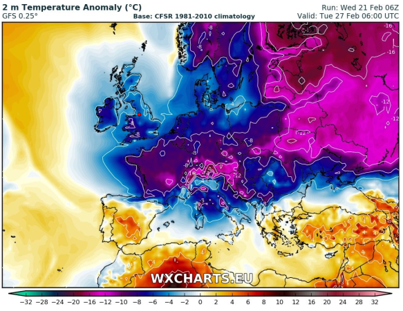
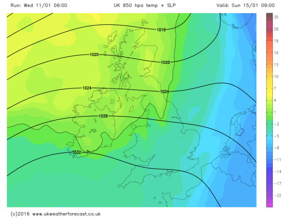
Thursday sees a change of season in the Weather World. Spring has sprung! Well not quite! Although our winter ends today [Wednesday], the weather has gone back in time, as the much-promised Beast From the East arrived bringing snow, tumbling temperatures and a severe wind-chill this week. So when will it all end? In fact, when will we get above freezing again?

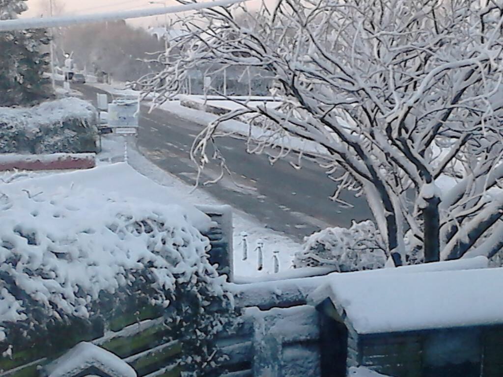
Thursday: Like yesterday, one of the coldest days for years. An extreme wind-chill making it feel like -12°C. A mostly cloudy day, there could be some brightness from time-to-time, but equally some more snow showers. These should ease later. Winds strong, gusting to 40mph. Max -2°C

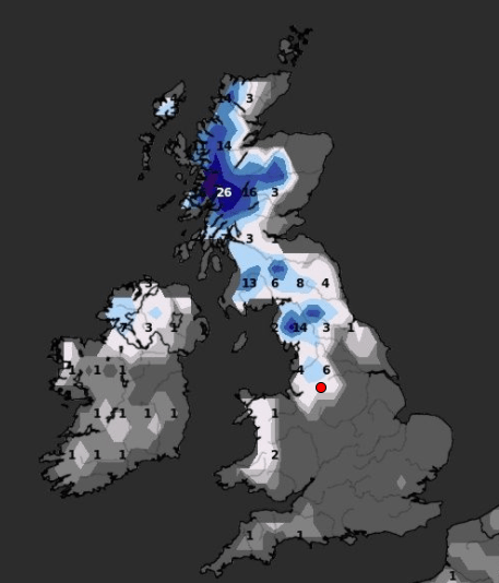
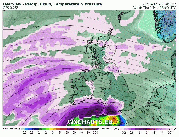
Friday: Bright spells and a few snow flurries. Then later in the day, the forecast is not set in stone, but there is a risk of some snow coming up from the south-west, accompanied by a strong south-easterly wind making it feel like -10°C and gusting to 45mph. As I say, the track of the low pressure, which has been named Storm Emma by the Portuguese Weather Centre, is uncertain, so the snow event might not happen and this is confirmed by the GIF below. The snow tries its best to arrive across the region towards the evening, but fizzles out. The forecast could change so watch out for tweets. Max 0°C

Snow on Friday

Heavy snow will cause disruption in southwestern parts of the UK but will it make it here

Weekend: Still very cold but less so into Sunday. Some snow.

Saturday: Still Baltic but not as windy as Friday. Cloudy with some snow flurries then perhaps a spell of snow for a few hours. Max 1°C

Sunday: Less cold air will push across the region which will recover the temperatures a little and after days of sub-zero values, we will sneak above 0°C. Again, mostly cloudy with a cold wind and the potential is there for some snow showers. Still very cold. Max 3°C

Outlook: Remaining colder-than-average with some wintry showers, so the risk of some snow remains. No sign of our first taste of spring. Don’t thank me, thank Sudden Stratospheric Warming. 

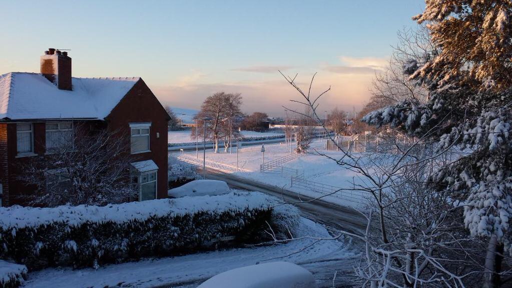
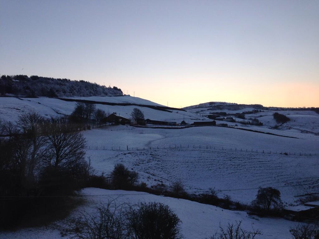
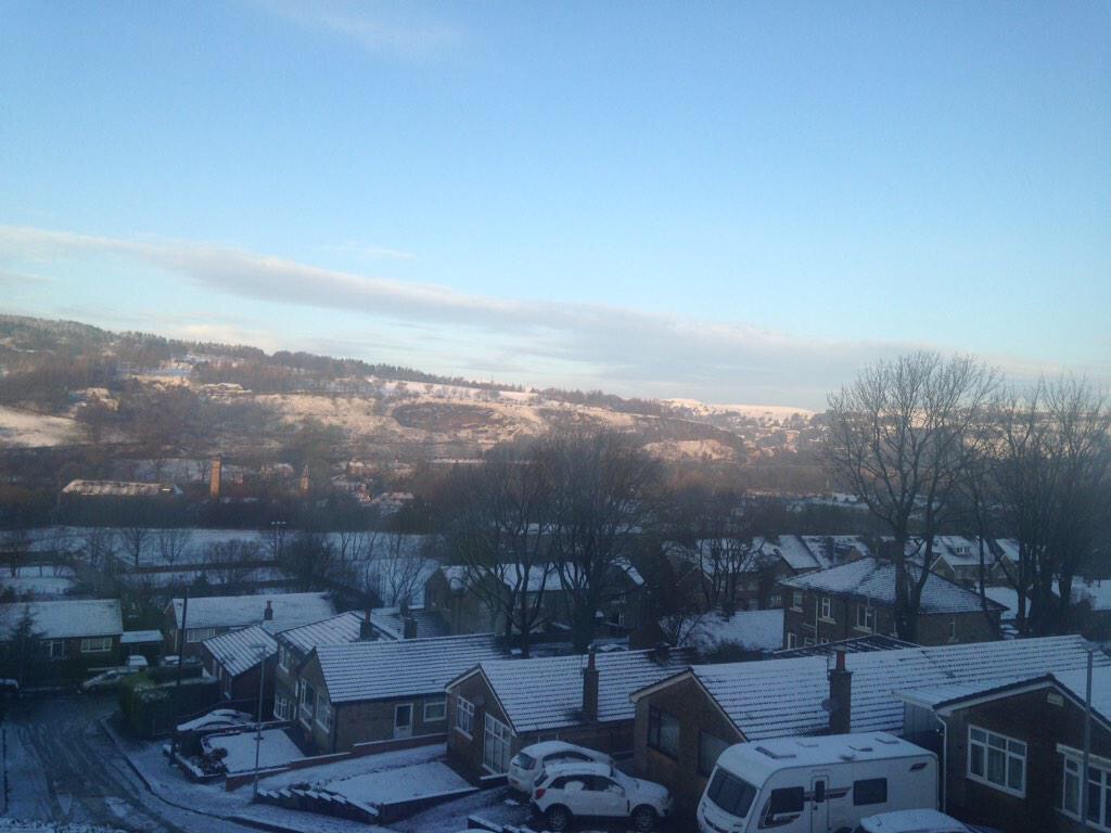
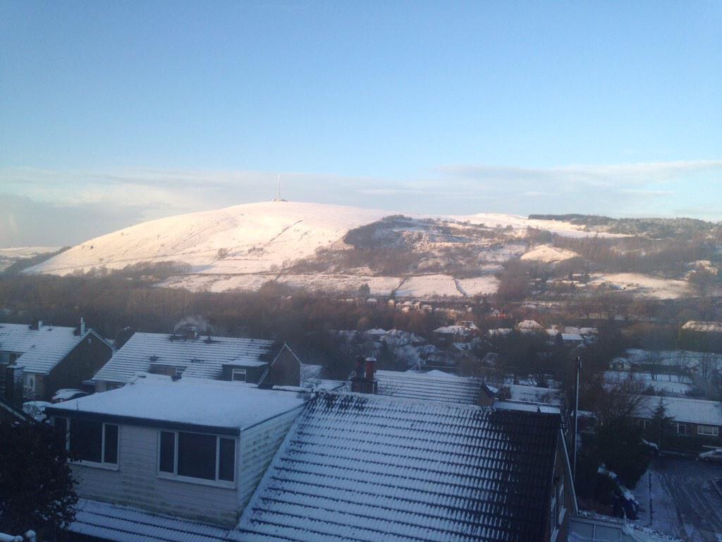
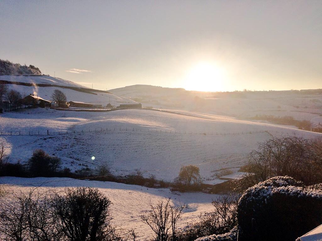
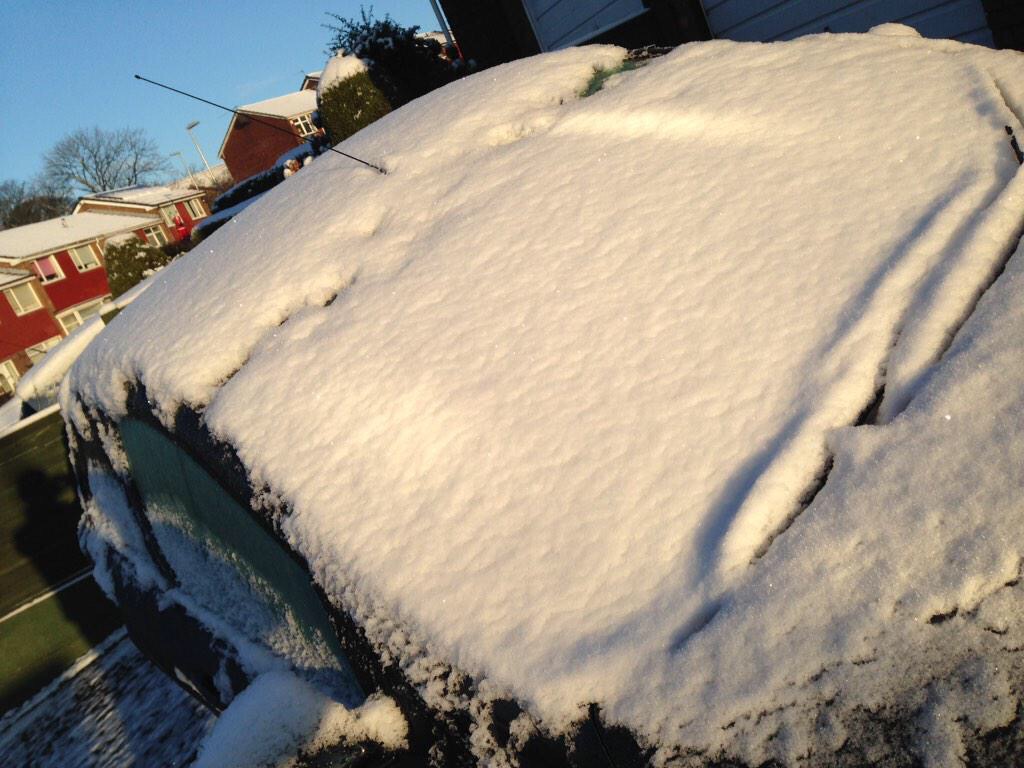
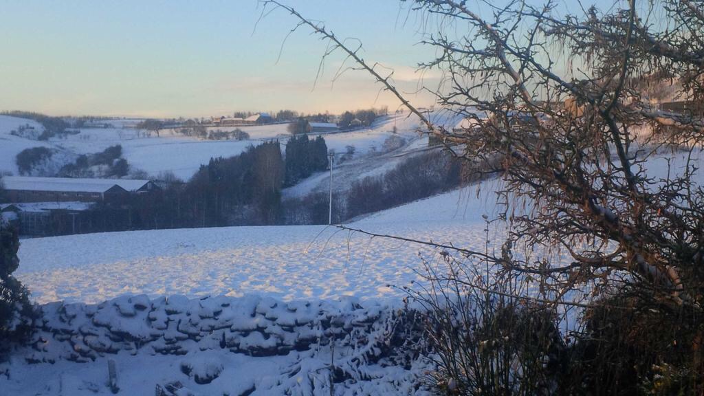
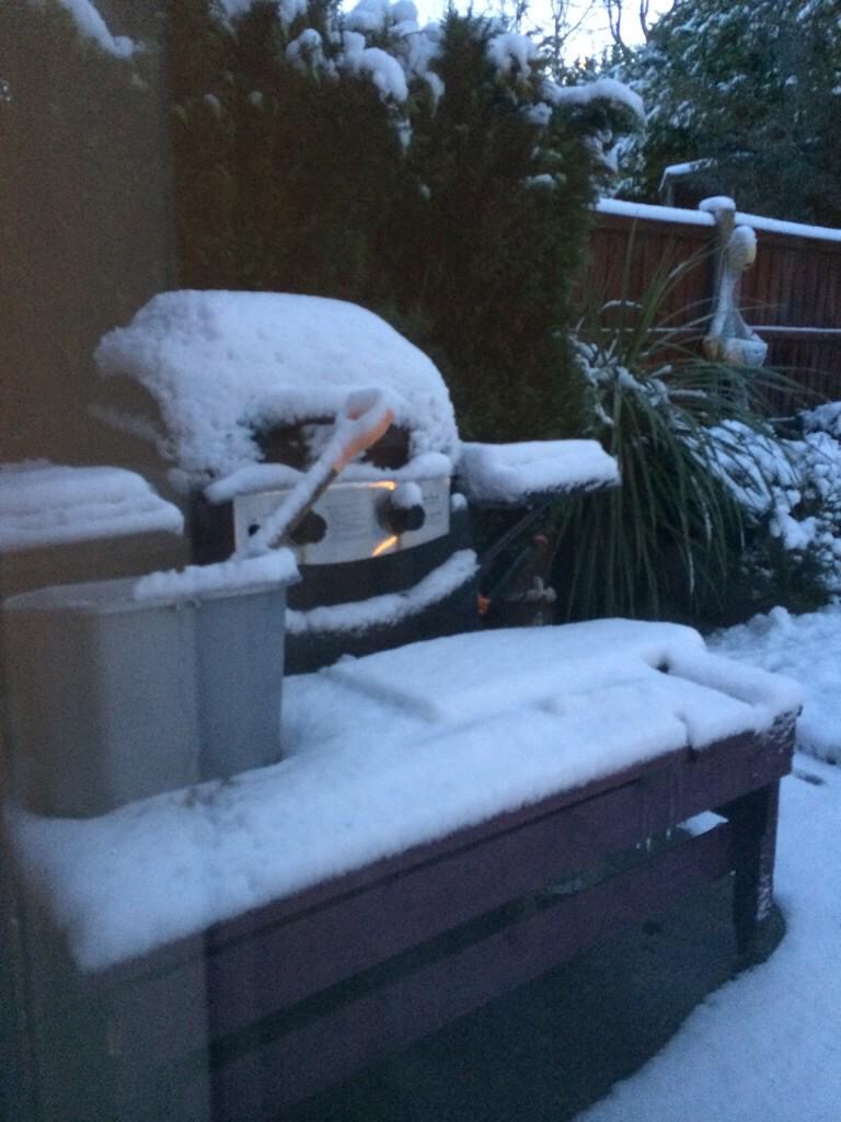
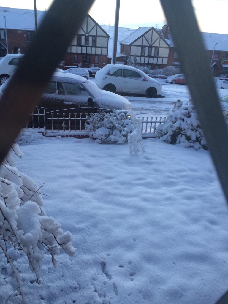
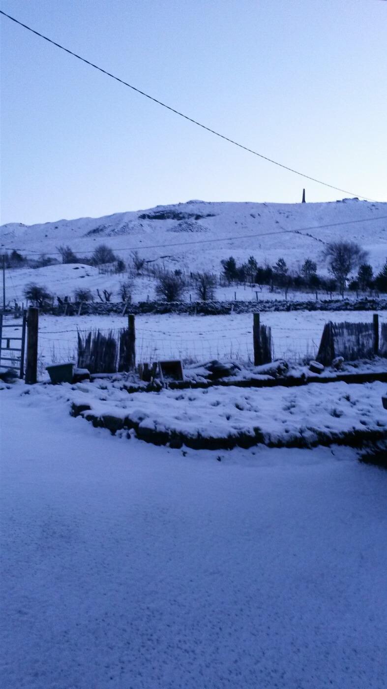
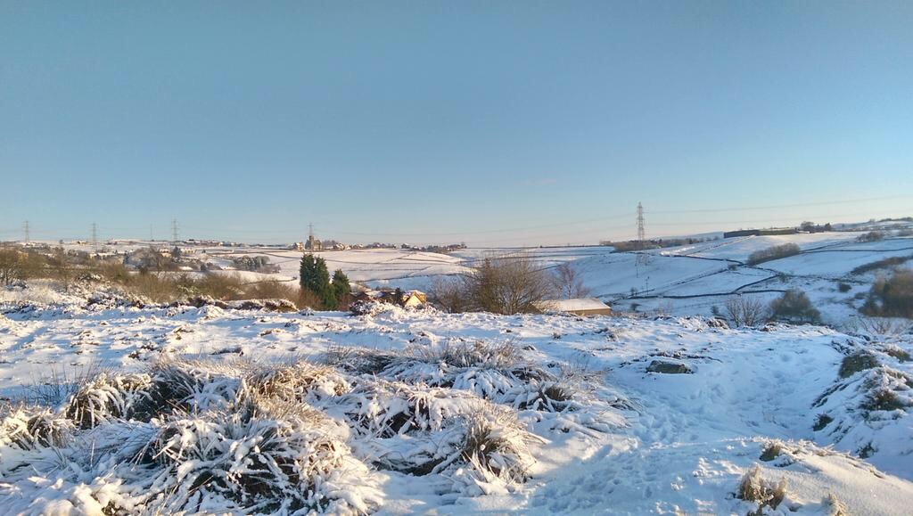
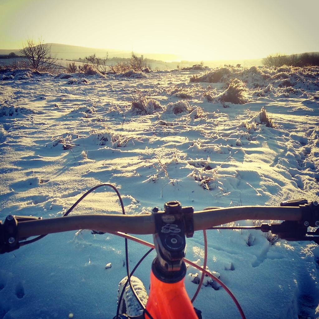
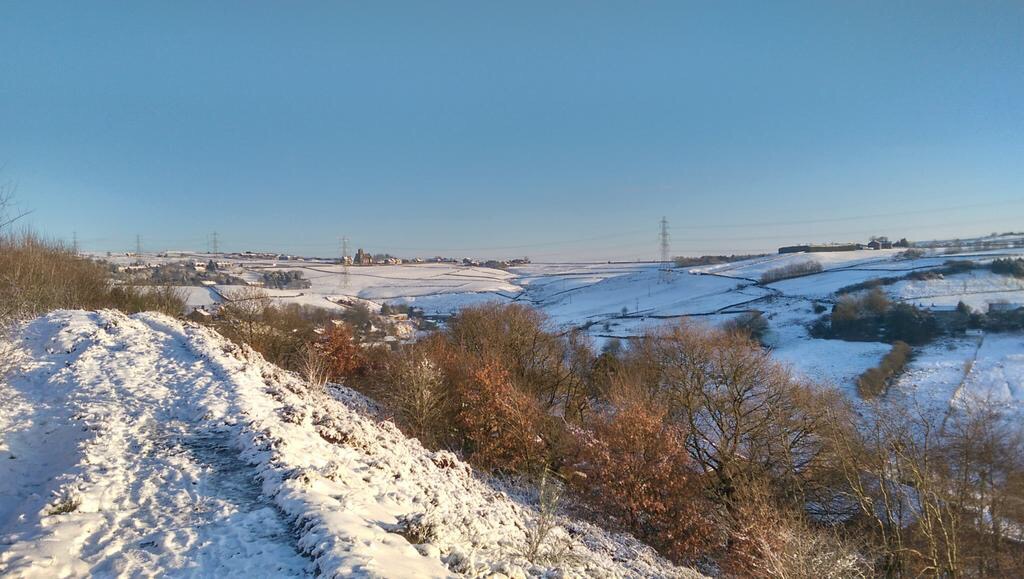
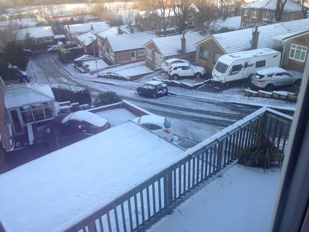
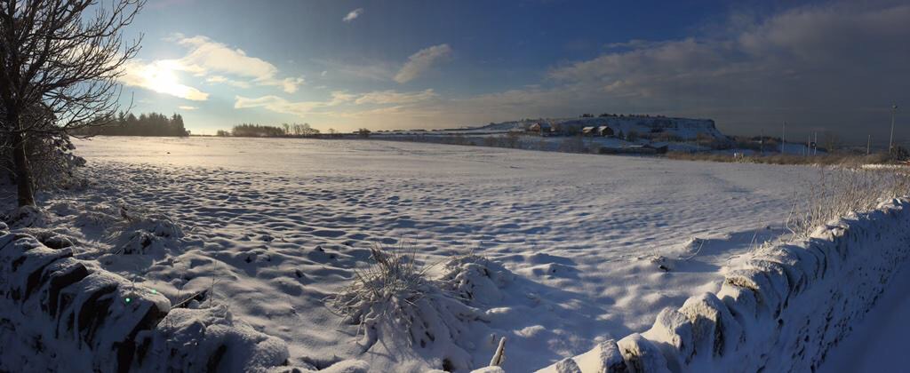
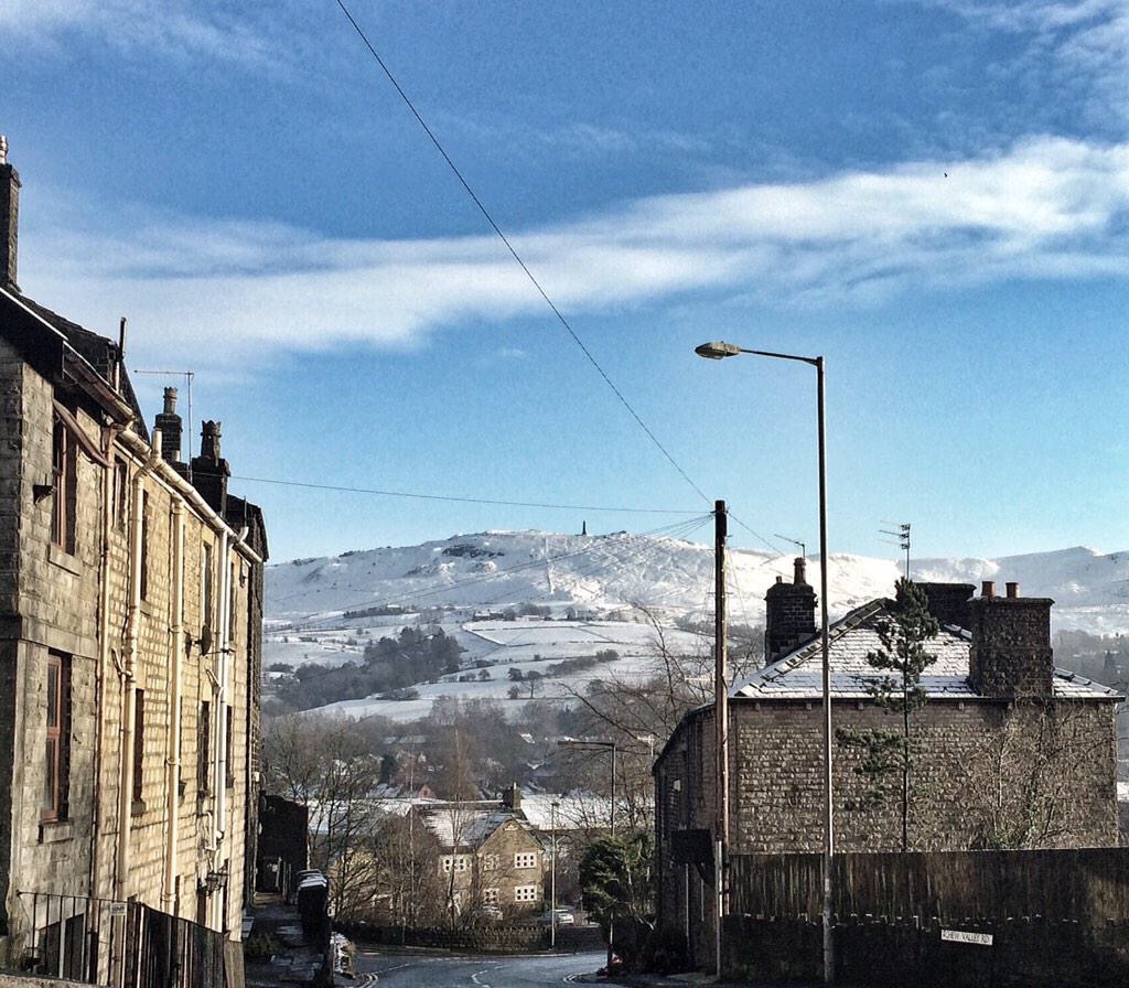
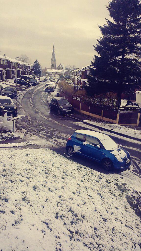
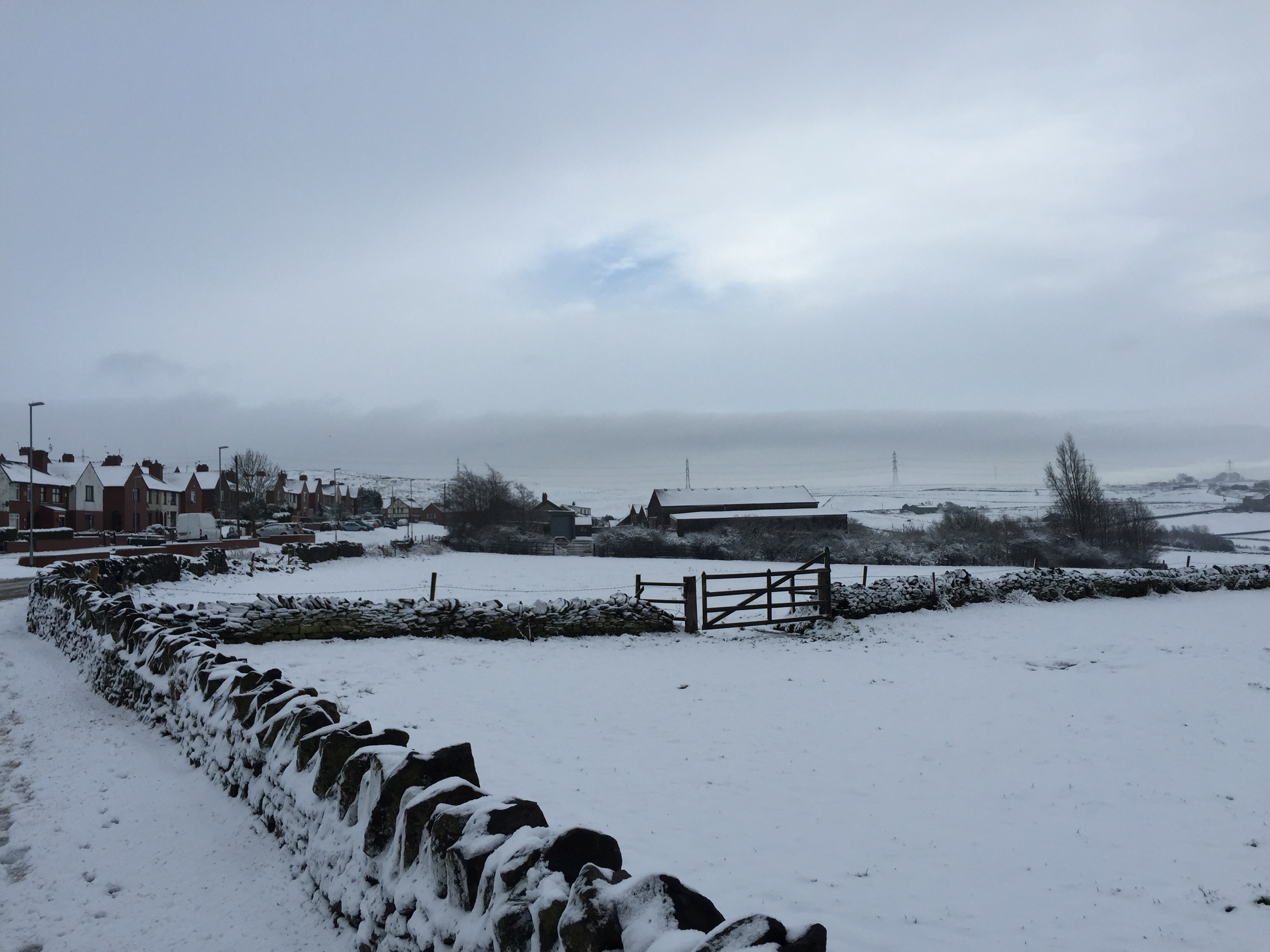
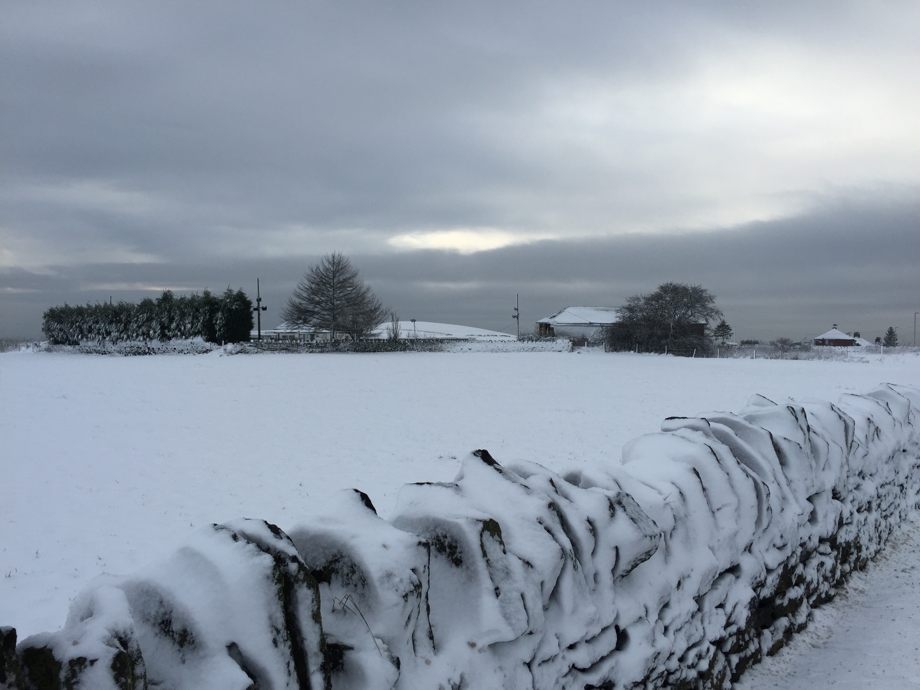
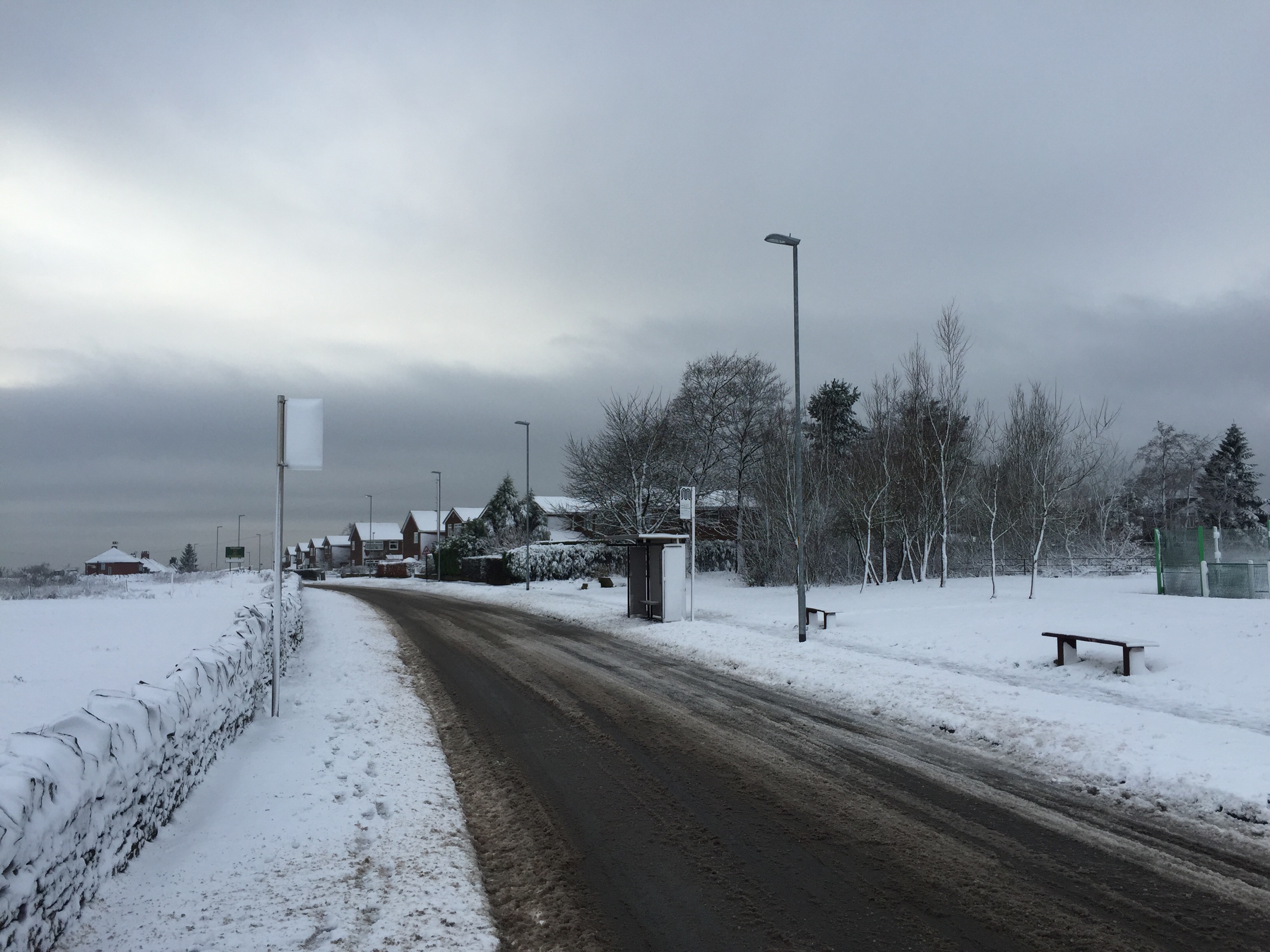
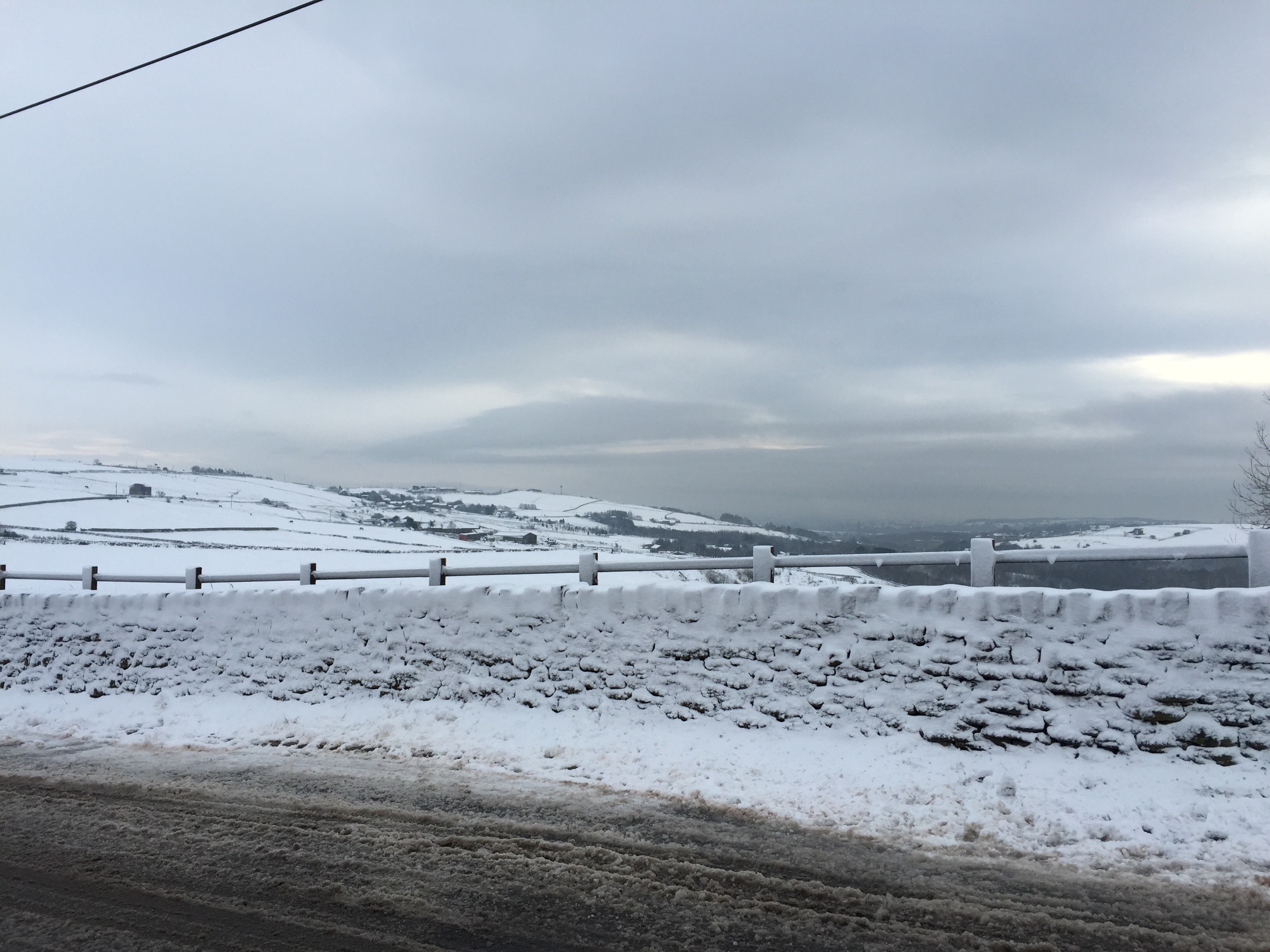
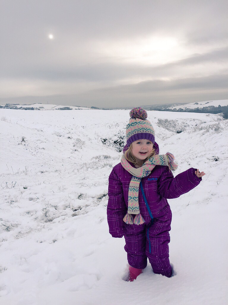
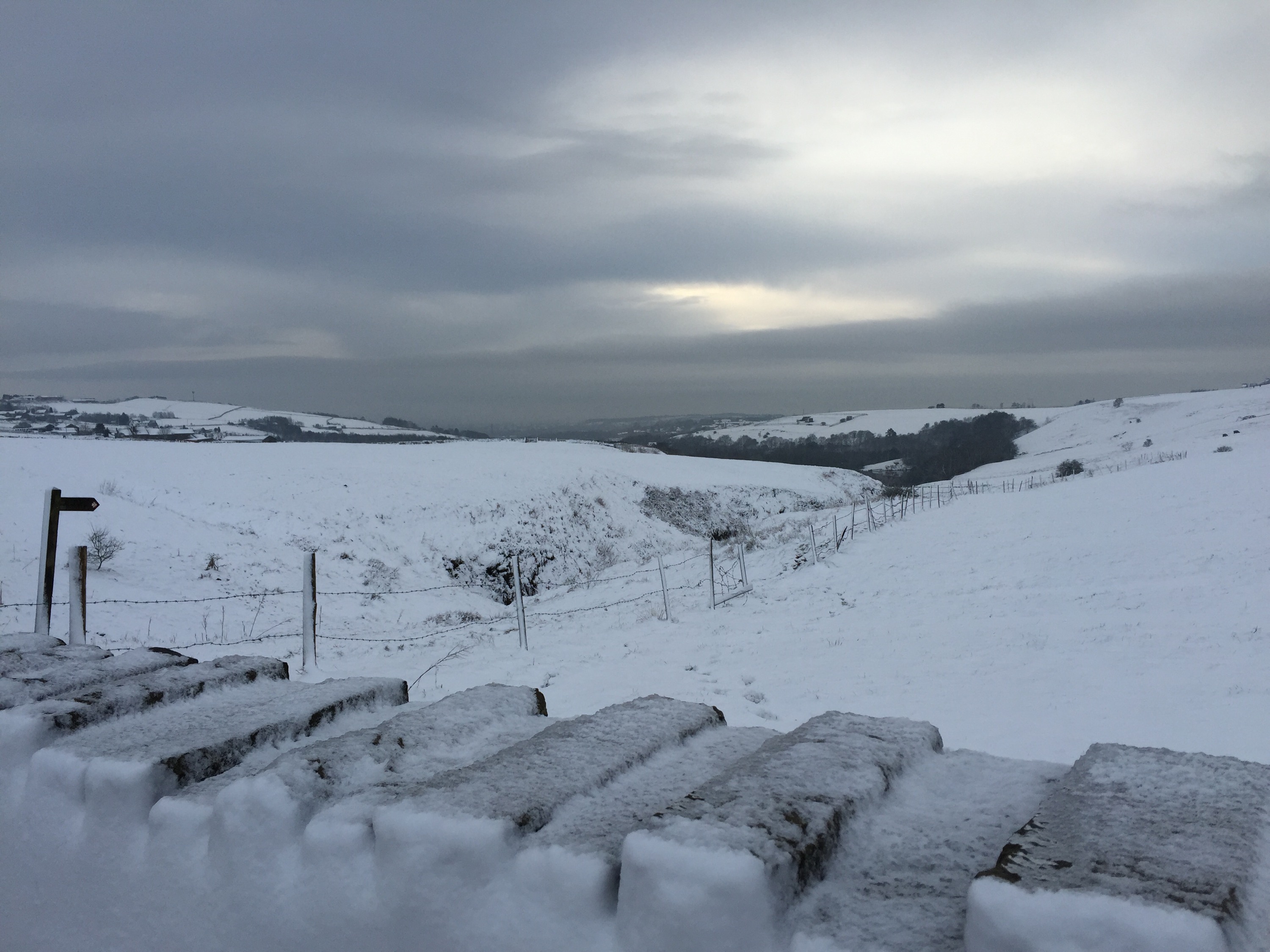
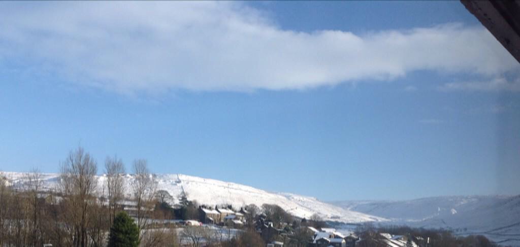
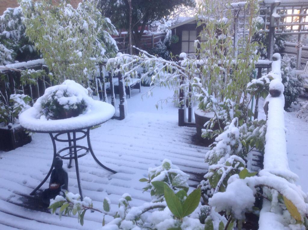
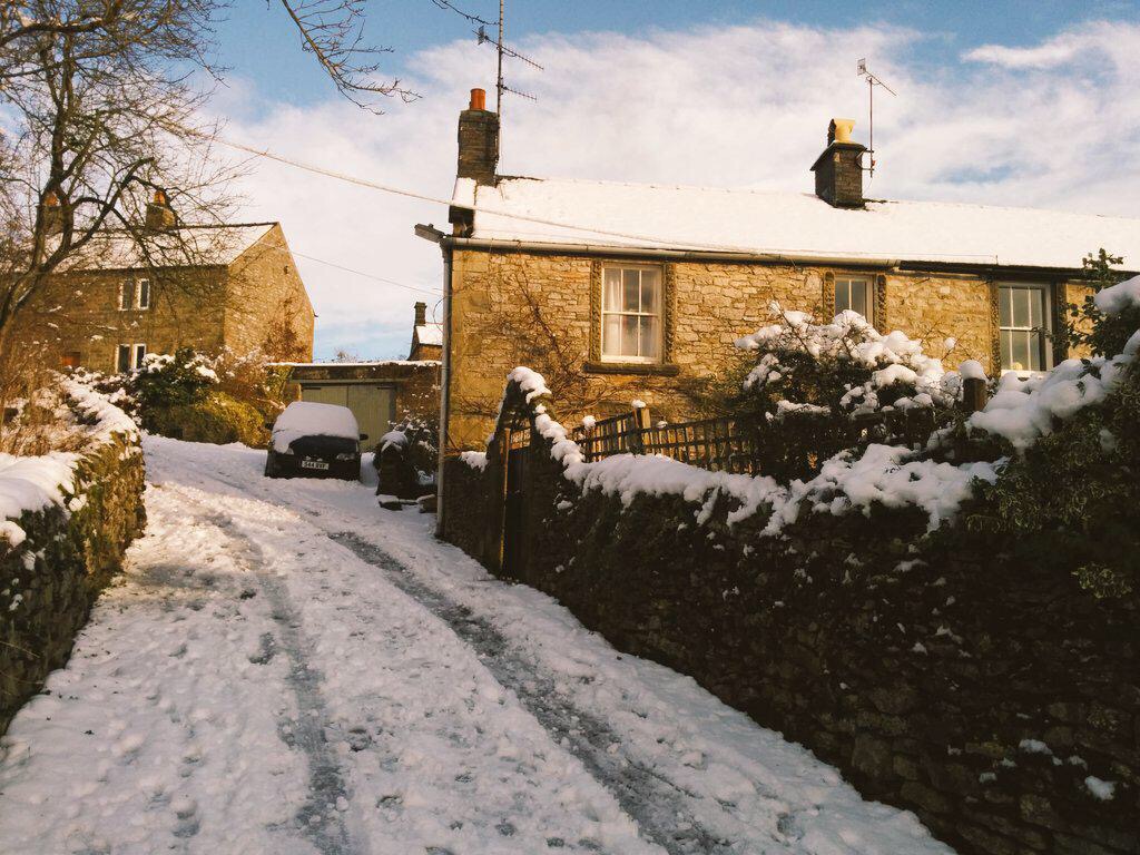
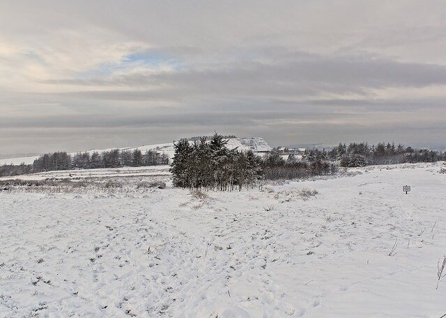
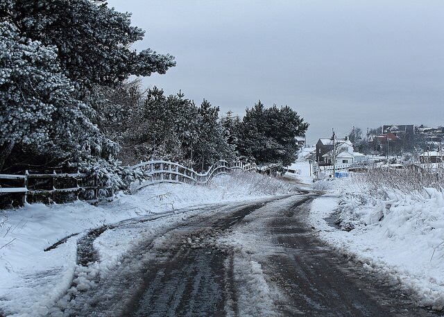
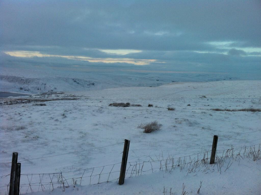
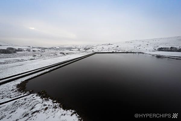
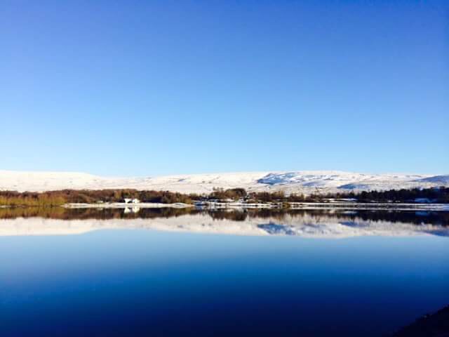
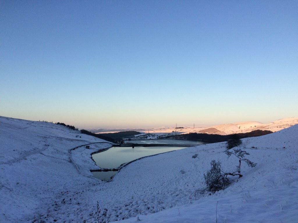
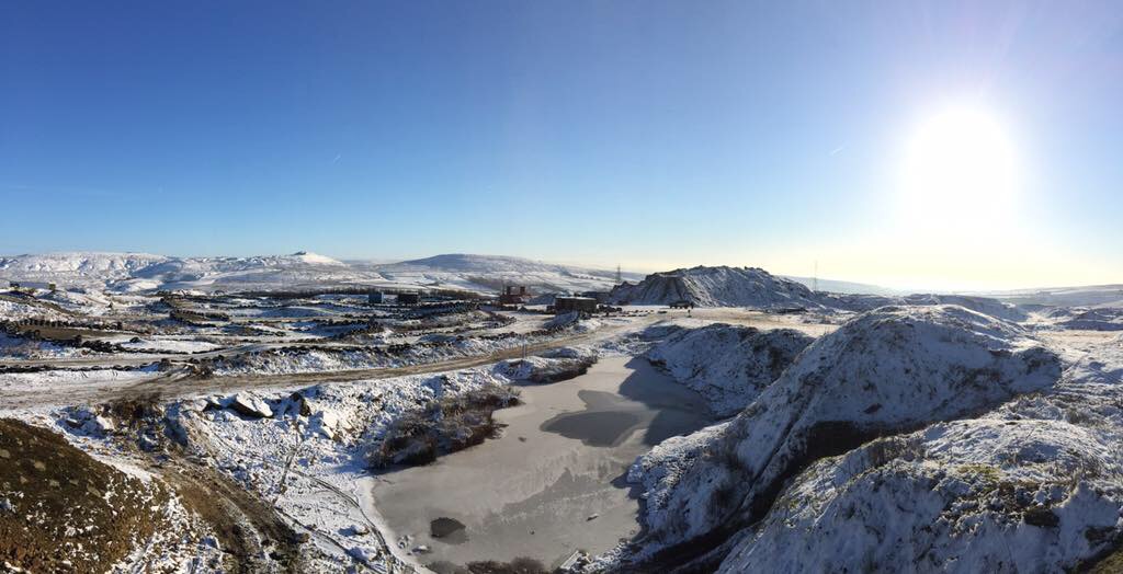
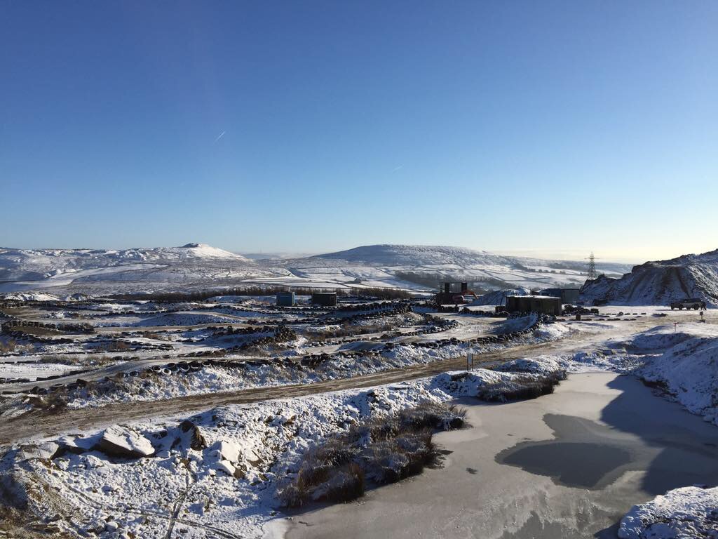
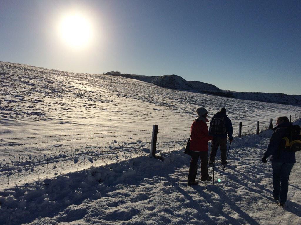
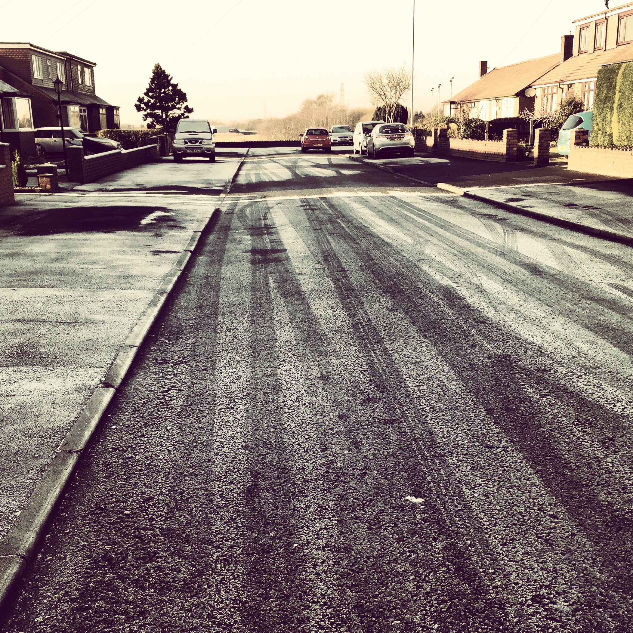
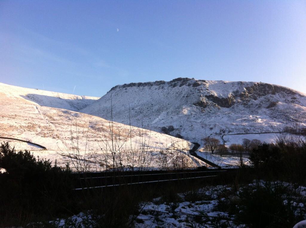
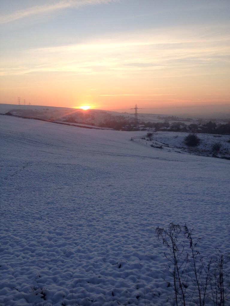
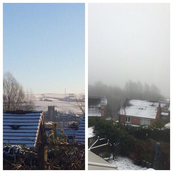
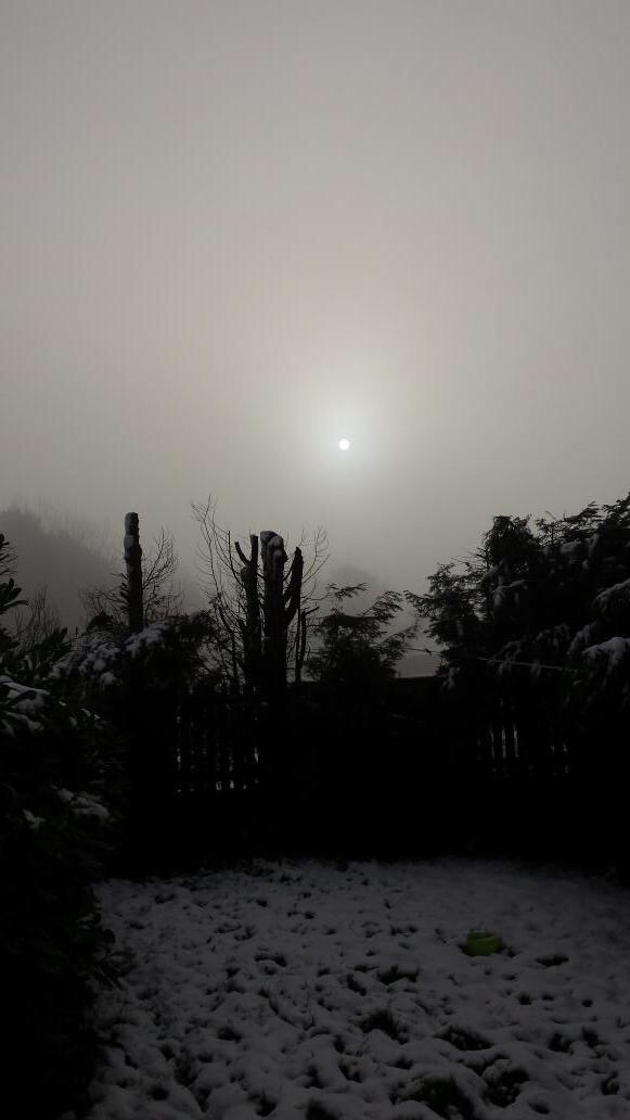
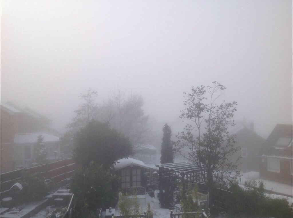
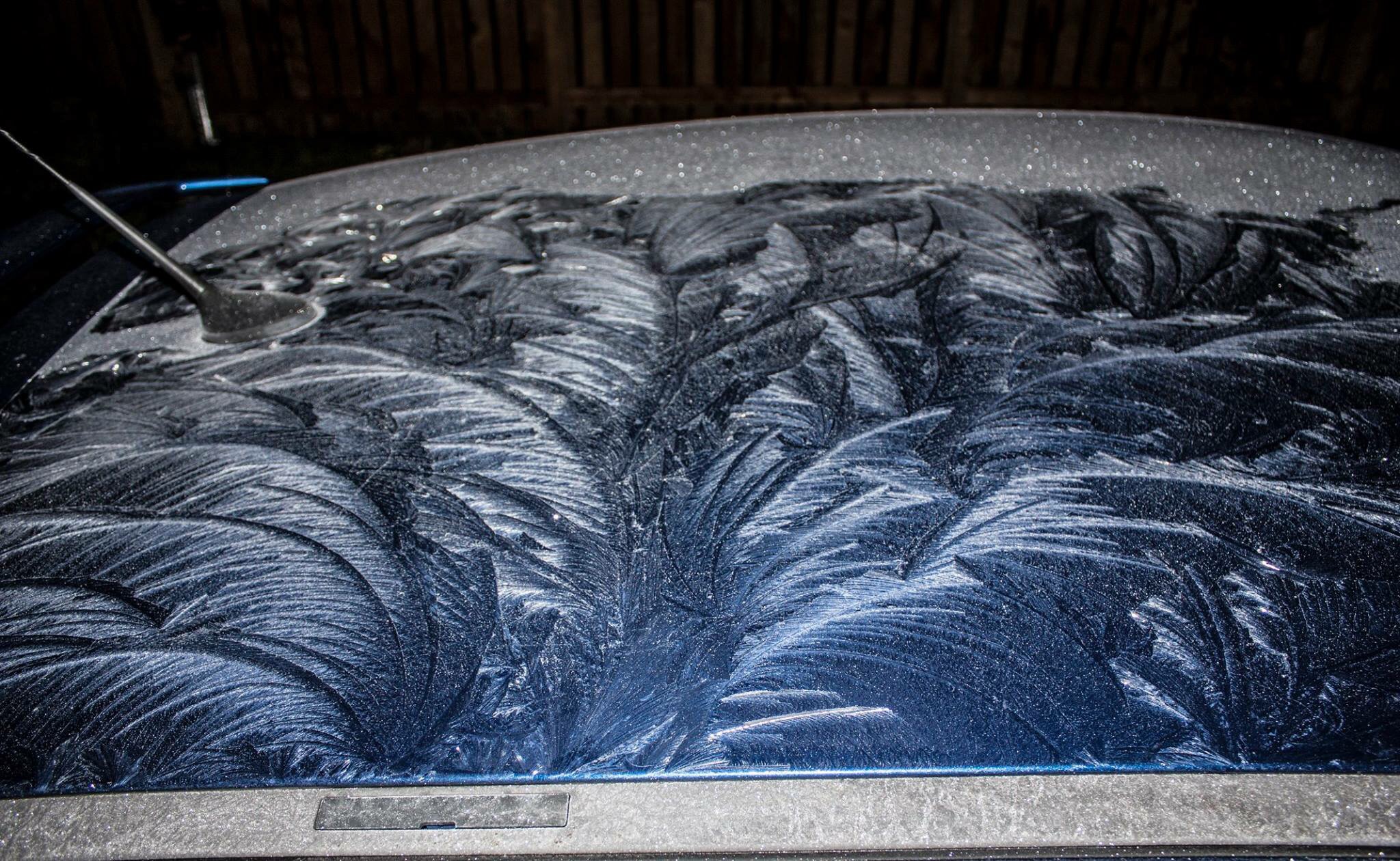
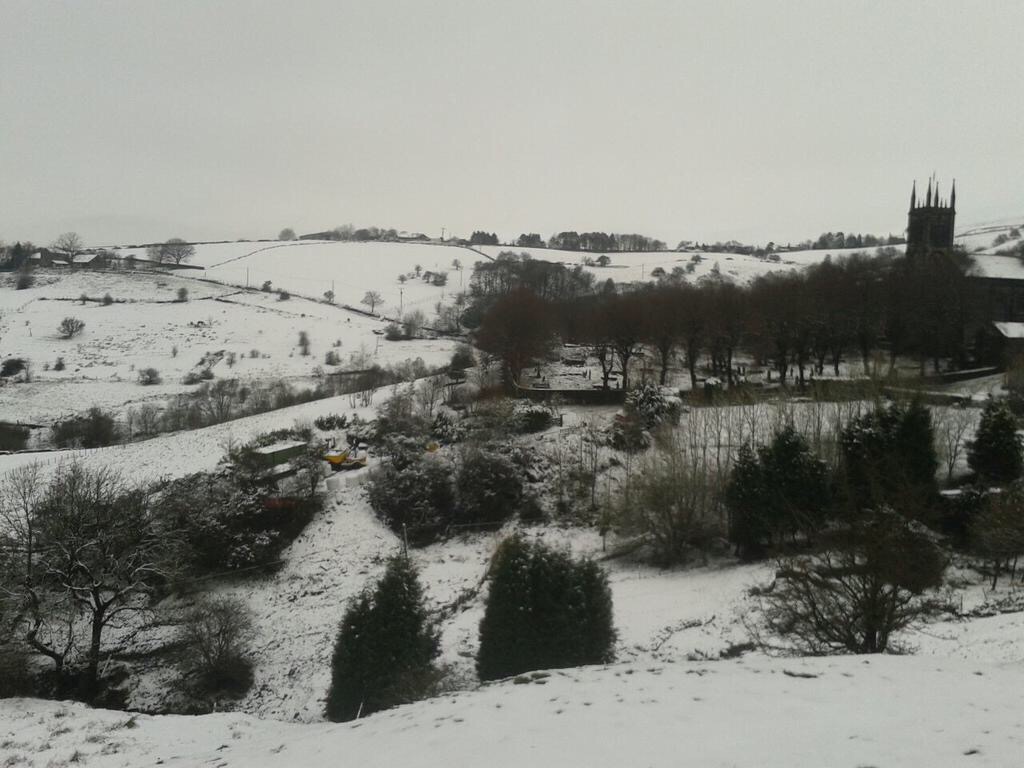
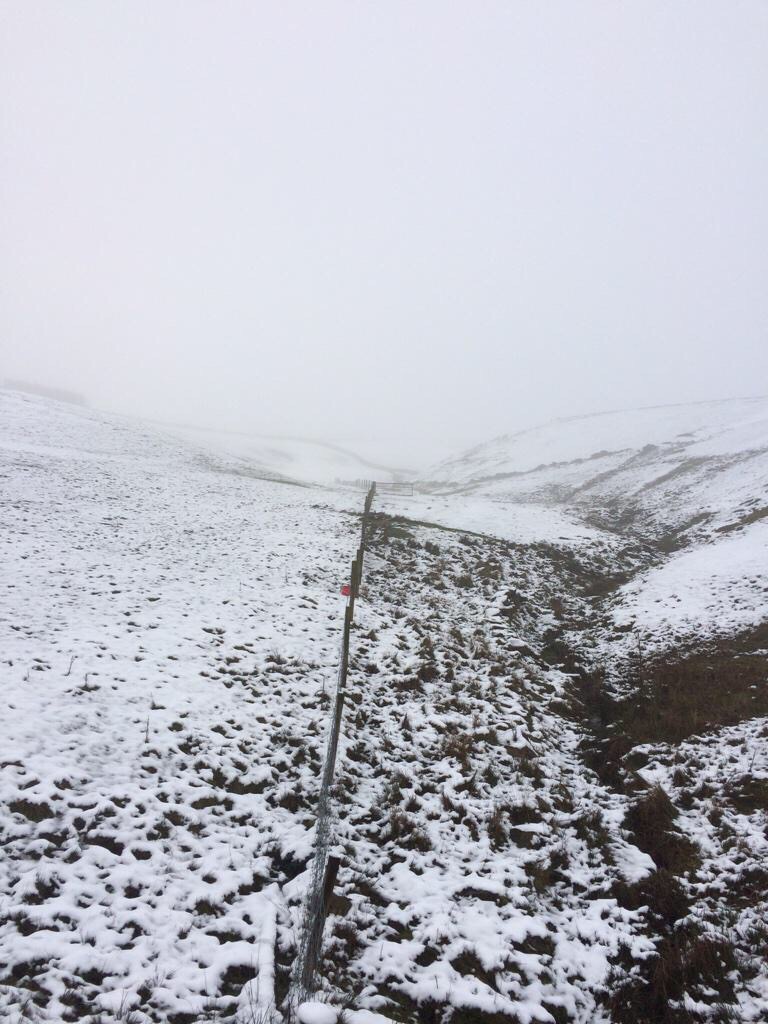
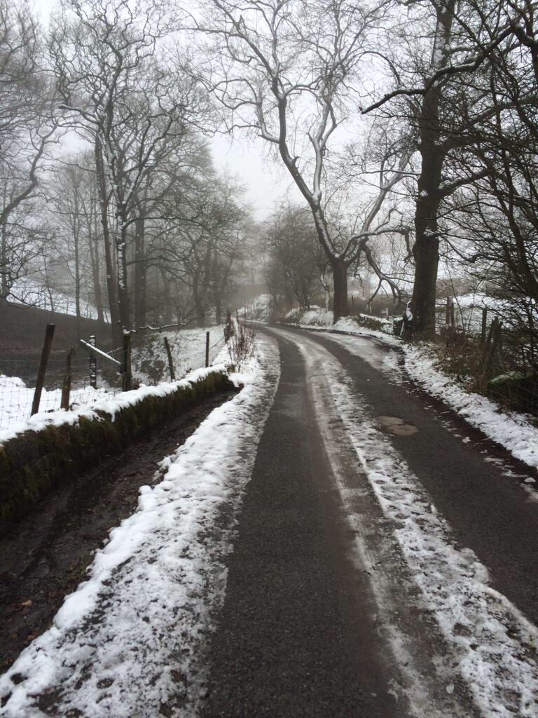
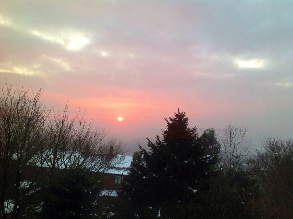
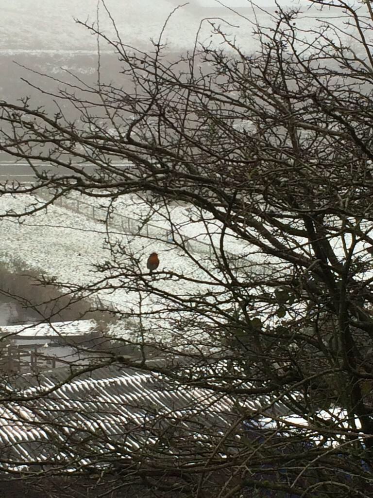
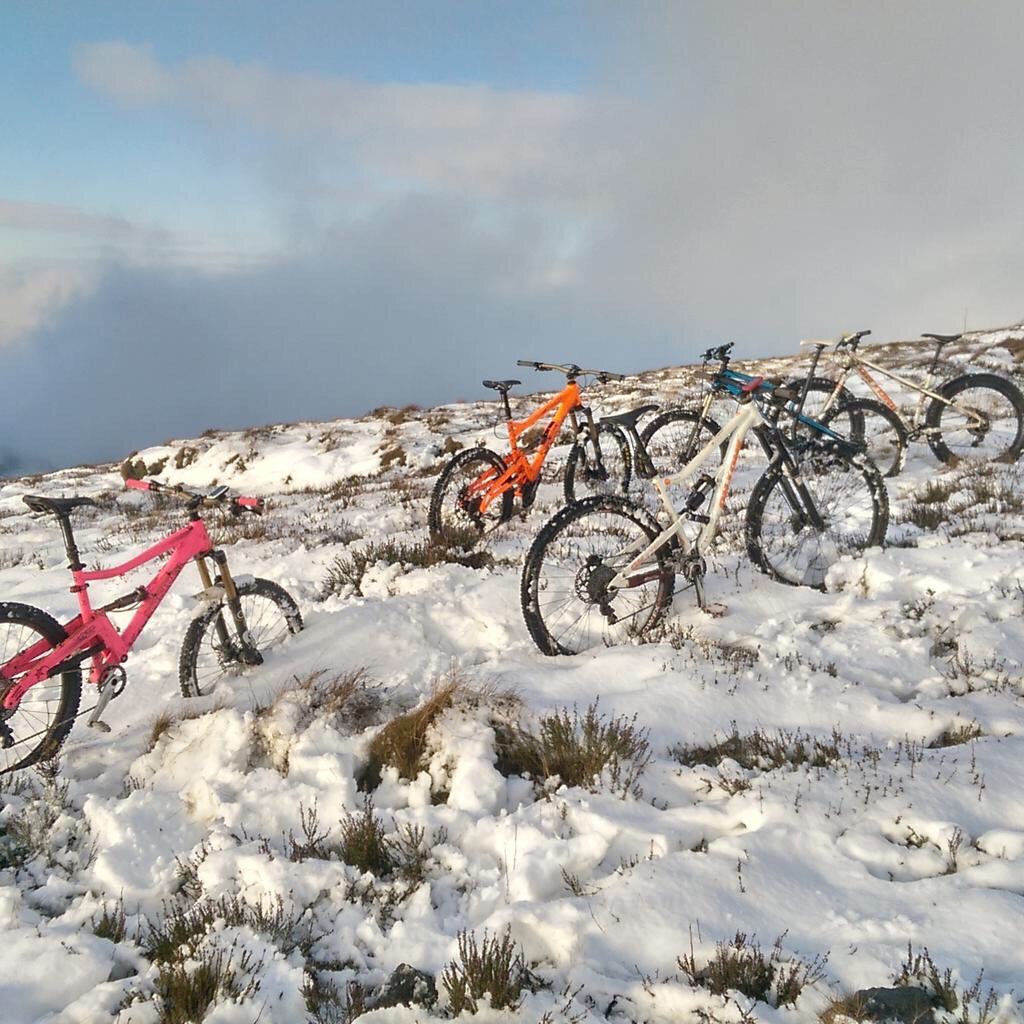
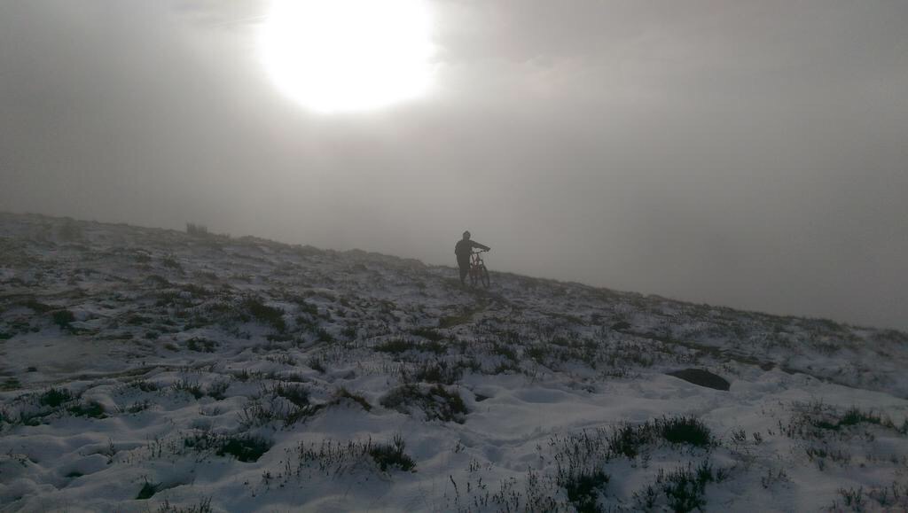
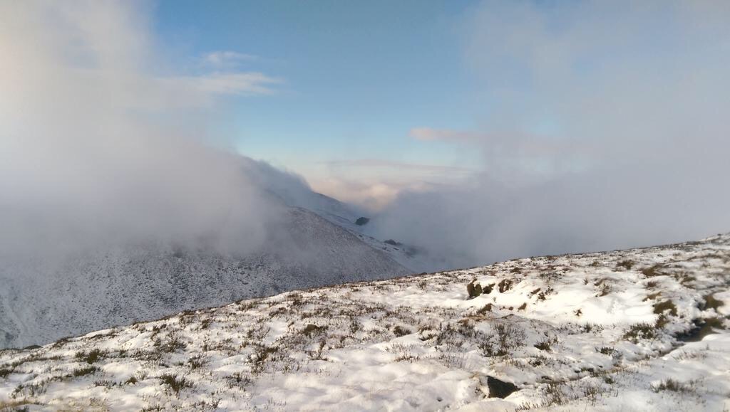
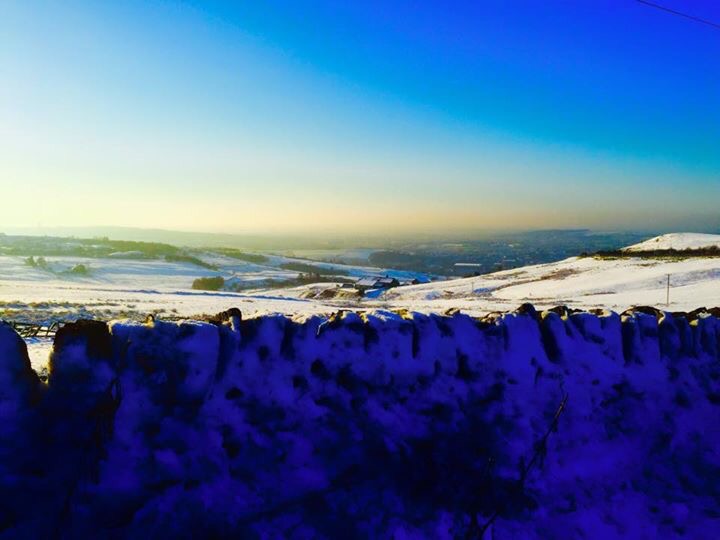
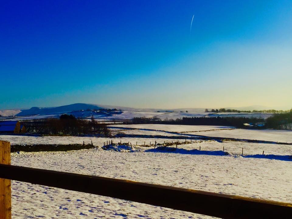
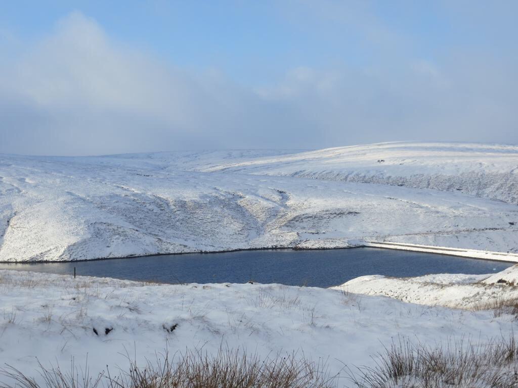
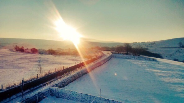
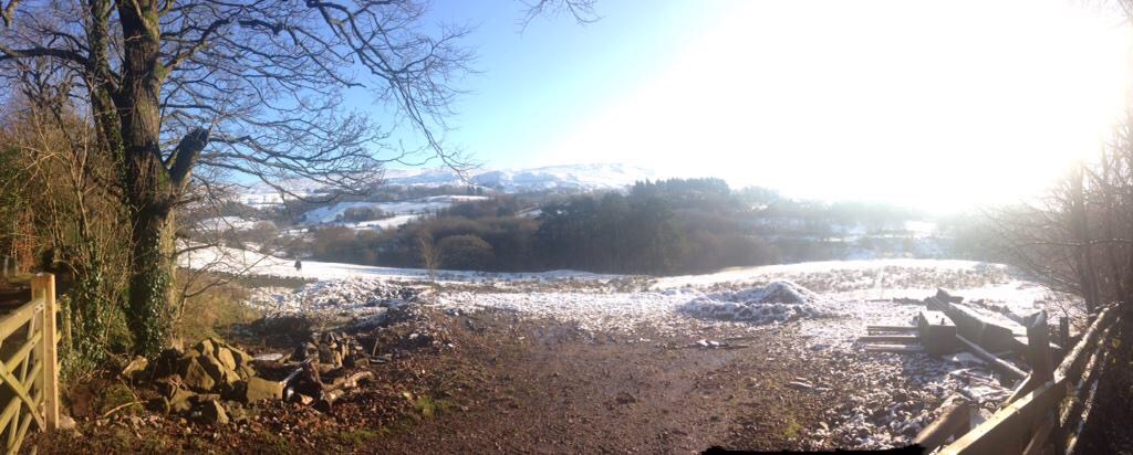
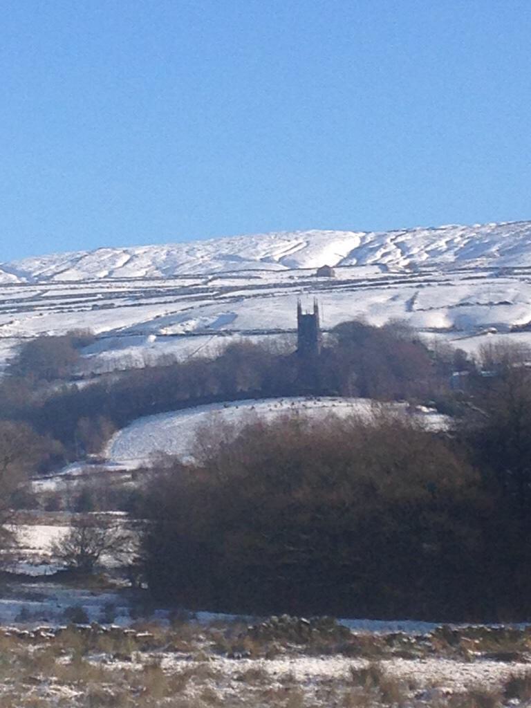
A huge thank you for all your photos, road updates and interactions this week.

Follow @ChadWeather on Twitter for the latest.

Thanks,
Jon

Forecast Issued at 17:10 on Wednesday the 28th of February 2018
Image: wxcharts.eu

Thursday 22nd February 2018 – Sunday 25th February 2018

Hi all,

There’s been a lot of talk for a few days now, about colder weather on the way. I mentioned last week that winter wasn’t finished with us just yet and looking at the computer models parts of the UK could be in for some significant snow and bitterly cold temperatures as we enter next week. Deep cold will be dragged across Europe on an easterly wind, sometimes called The Beast From The East, into the UK from Siberia and the recent SSW (Sudden Stratospheric Warming) is to blame. This is still not 100% guaranteed though, after this morning’s updates from the computer models, but it is still favoured.

I’ve seen some models give us days of subzero temperatures, even during the daytime. I just feel we need another day or so to firm up details on how cold it will get and how much, if any, snow will fall. It does seem likely that from Friday our ‘feels like’ temperature will remain sub-zero for several days. Keep up-to-date by following my tweets on Twitter.

Thursday: Dry with variable amounts of cloud. Some patchy frost to start then a day of mostly cloudy skies and some bright spells coming and going. Max 6°C

Friday: Frosty early and more sunshine on offer and with it plenty of dry weather. You will start to feel the edge on that breeze as the colder air from Europe arrives. Max 5°C

Weekend: Dry and slowly even colder. A biting wind-chill.

Saturday: A frost to start then dry with sunny spells. A keen wind-chill as the easterly wind picks up, gusting to 25mph. Max 5°C

Sunday: Windy, with bright spells but more cloud compared to Saturday so feeling colder. The bitter wind-chill digging in, making it feel more like -7°C. Max 3°C

7 degrees below average

Into next week and we could be seeing temperatures 6-8°C below average (av. Max = 7°C)

Outlook: Even colder air will arrive from the east and with it the increasing chance of some snow flurries. Daytime temperatures will struggle to get above freezing and frosts will continue at night. As we approach midweek there is some uncertainty as to whether we keep the very cold easterlies or switch to slightly less cold northerlies. The risk of snow is likely to increase too. Some computer models predict the colder-than-average conditions to continue into the second week of March, but some have us back in milder southwesterlies by March the 6th. Just to note: One set-up has some heavy snow for us around the 3rd of March with night-time temperatures as low as -10°C. A long way off but just a hint of what might be possible with the forthcoming very cold airmass.

Follow @ChadWeather on Twitter for the latest forecasts.

advice

Thanks,
Jon

Forecast Issued: Wednesday the 21st of February 2018 at 12:30pm
Images: http://wxcharts.eu

Thursday 1st February 2018 – Sunday 4th February 2018

Hi all,

January is coming to a close and with just a month left of winter, who’s looking forward to Spring and those lighter mornings and evenings? I know I am, but I’m still hoping for some more snow before we get there.

Thursday: Cold with bright or sunny spells and windy. Just the chance of an isolated wintry shower during the morning mainly in western areas. Max 5°C

Friday: A cold and frosty start then a reasonable day with sunny spells and a chilly wind. Cloudier later in the day. Max 5°C

Weekend: Chance of snow

Rain arriving from the west on Saturday could turn to snow

Saturday: A very cold day. Cloudy with rain pushing in from the west. Snow is possible on higher ground (mostly >200M) but not exclusively. So, with a chance of snow to lower-levels, watch out for updates on Twitter. Later into the evening we return to a few wintry showers. Max 3°C

Sunday: A return to the brighter weather with a cold wind and sunny spells. The odd wintry shower possible in eastern areas. Max 5°C

Outlook: Remaining cold throughout with bright spells, slight frosts and some wintry showers. Tuesday/Wednesday could see a band of rain which could turn to snow in places. One to watch.

Follow @ChadWeather on Twitter for the latest forecasts.

Thanks,
Jon

Forecast Issued: Wednesday the 31st of January 2018 at 7:15pm
Image: www.theweatheroutlook.com

Thursday 18th January 2018 – Sunday 21st January 2018

Hi all,

We are halfway through winter and we were reminded this week with snow returning to some parts as well as plenty of hail and some thundersnow. After last week’s dank slow-weather days we are back up and running with plenty to talk about. There is some more snow on the way.

Lightning 160118

Lightning Strikes: Tuesday saw thunder and lightning, giving some of us thundersnow

Thursday: The early hours and early morning will be very windy with 50-55mph gusts across the region as a low pressure moves through. The thinking was that this system would be named but it is now less intense and therefore hasn’t been christened. It will briefly become milder but during the morning winds will die down somewhat and it will become colder again. After all that we will see a day of sunshine and frequent thundery wintry showers which will fall as snow above 200M. Max 5°C

Snow showers on Friday

Wintry showers, including some snow, will be blown in again on Friday

Friday: A colder day and windy with more wintry showers feeding in. Again, these could be thundery with hail and snow. Snow showers expected almost anywhere but especially on higher ground where it is likely to settle. Max 3°C

Snow Depth cm by the end of Friday

Predicted snow depth (cm) by the end of Friday

Weekend: Saturday’s the day!

Saturday: A frosty start with snow-cover in places from yesterday’s showers. However a decent day ahead. Dry with sunny spells and cold. A perfect winter’s day. Max 4°C

Sunday: A cold start and perhaps briefly dry. Rain (timings still uncertain at this stage) will then move in from the west preceeded by snow in places, especially on the hills and Pennines, but all areas seeing it turn to rain as it becomes slowly milder later. A thaw of any remaining lying snow. Max 7°C

Outlook: Temperatures average for the time of year but with our weather favouring coming in from the Atlantic, we can expect some spells of rain at times. Chilly nights with some patchy frost.

Follow @ChadWeather on Twitter for frequent weather updates.

Thanks,
Jon

Forecast issued: 10:15am on Wednesday the 17th of January 2018
Images: https://www.lightningmaps.org and http://wxcharts.eu 

Thursday 7th December 2017 – Sunday 10th December 2017

Hi all,

Apologies for the delay today I’ve been exploring the Manchester Christmas Markets and of course the food and beer. So then, a lot of hype this week about colder weather coming and whether it will snow or not and if yes, then how much and where, etc. etc. Interesting times ahead, tricky forecasting times ahead and one thing for sure, cold times ahead. Brrrrr.

Thursday: Storm Caroline brings early heavy, perhaps squally rain, which clears quickly. It will be windy and after a very mild start it will become colder and colder. Sunny spells will arrive with the Arctic air then showers will get going later into the afternoon which will start to turn wintry. Later in the evening and overnight sleet and snow showers will push down from the northwest on a stiff, bitterly cold wind. Don’t be surprised to see a covering of snow on Friday morning. Max 11°C occurring in the morning falling to 6°C by mid-afternoon.

Tit

Snow showers pushing down on a bitter NW’ly wind on Thursday night into Friday

Friday: Sleet and snow showers will become confined to western parts and most of us will enjoy some sunshine. It will feel very cold with a significant wind-chill. Max 2°C but feeling more like -3°C. Frost settling in overnight.

Weekend: Plenty of sunshine then a chance of snow.

Saturday: Frosty early and late with sunny spells during the day. Just a chance of a wintry shower to the west where it could be cloudier. Max 4°C

A chance of snow arriving from the southwest on Sunday but details far from certain

Sunday: A forecasters’ nightmare at the moment and be aware things could change. The current model output suggests a dry start but very cold with temperatures close to freezing. Rain coming in from the west or southwest towards midday will engage with the cold air and turn to snow. Some heavy snow looks possible but details at this stage are not certain, i.e. the band of rain/snow could stay away further south, so look out for further updates this week on Twitter. Low-lying areas (under 100M) more prone to sleet but travel disruption could occur in locations above this height. Max 2°C

Outlook: It will remain cold or very cold for the foreseeable with night frosts. There is another chance of snow on Thursday but again details can only be firmed up nearer the time. The cold spell is here to stay.

So to summarise we have a good chance of some snow Thursday into early Friday and also on Sunday.

Follow @ChadWeather on Twitter for up to date forecasts and the latest on the possible snow.

Thanks,
Jon

Forecast issued at 9:50pm on Wednesday the 6th of December 2017

Images: http://wxcharts.eu

Thursday 12th January 2017 – Sunday 15th January 2017

Hi all,

Headline: Colder with snow for some of us.

Thursday: A very cold northwesterly wind in place which will bring some rain, hail, sleet & snow showers. Some of the snow will settle leading to tricky driving conditions with some ice later but this is expected to be in areas that are above 225M. You can reference the local elevation map or use the link to see what height you are above sea level. Max 3°C but feeling sub-zero in the wind.

wintry-showers-on-thursday

A bitter Thursday with rain, hail, sleet and snow showers in the mix. Snow settled above 200-250M

Use this link to see exactly how many metres you are above sea levelhttp://www.altitude.nu/ or for local locations see the image below.

heights-above-sea-level

Local locations with their height above sea level

Friday: Windy again with a brisk northerly airflow. Some more wintry showers around but they should be less frequent than what we saw on Thursday. Sunny spells in between the showers. Feeling very cold. Sharp frost overnight. Max 3°C

Saturday: Apart from the odd wintry shower, it looks mostly dry with sunny spells and a cold northerly or northwesterly breeze after a frosty start. It will turn frosty again later in the evening but it is likely to cloud over by morning.  Max 3°C

milder-from-the-nw

Milder air comes in from the NW during Sunday recovering temperatures

Sunday: There is still uncertainty about today but it seems that rain will topple in from the northwest which might, initially, fall as sleet or wet-snow on the higher routes. This weather front will also bring milder temperatures.  Max 6°C

Looking ahead: Mild initially but turning slowly colder from midweek with a chance of a cold easterly feed being established.

Keep up to date via my Twitter account, @ChadWeather.

Thanks,
Jon

Images: http://www.chorleyweather.com/, http://ukweatherforecast.co.uk and Oldham Council.

Forecast issued at 16:30 on the 11th of January 2017.


Snowy and wintry scenes – 26th-29th December 2014

Rain on the evening of Boxing Day 2014 gradually turned to snow as a low pressure moves south-eastwards and colder air dug in from the north. Most places saw snow but it was all about your height above sea level whether it managed to stick or not. Here in Chadderton we had a slight covering on the cars and grass but you had to go up to the east of Oldham, to the likes of Moorside to see some decent snow. In these hillier areas up to 4 inches of snow fell over a 6-hour period. After the snow came the frost then some freezing fog. Here are a selection of the photos that I had tweeted to me. Thanks to everyone for their stunning photos. I hope you don’t mind me using them. Any issues using them please let me know.

/home/wpcom/public_html/wp-content/blogs.dir/5a5/52181690/files/2014/12/img_5069.jpg

/home/wpcom/public_html/wp-content/blogs.dir/5a5/52181690/files/2014/12/img_5068.jpg

/home/wpcom/public_html/wp-content/blogs.dir/5a5/52181690/files/2014/12/img_5070.jpg

/home/wpcom/public_html/wp-content/blogs.dir/5a5/52181690/files/2014/12/img_5071.jpg

/home/wpcom/public_html/wp-content/blogs.dir/5a5/52181690/files/2014/12/img_5074.jpg

/home/wpcom/public_html/wp-content/blogs.dir/5a5/52181690/files/2014/12/img_5075.jpg

/home/wpcom/public_html/wp-content/blogs.dir/5a5/52181690/files/2014/12/img_5076.jpg

/home/wpcom/public_html/wp-content/blogs.dir/5a5/52181690/files/2014/12/img_5077.jpg

/home/wpcom/public_html/wp-content/blogs.dir/5a5/52181690/files/2014/12/img_5078.jpg

/home/wpcom/public_html/wp-content/blogs.dir/5a5/52181690/files/2014/12/img_5081.jpg

/home/wpcom/public_html/wp-content/blogs.dir/5a5/52181690/files/2014/12/img_5079.jpg

/home/wpcom/public_html/wp-content/blogs.dir/5a5/52181690/files/2014/12/img_5080.jpg

/home/wpcom/public_html/wp-content/blogs.dir/5a5/52181690/files/2014/12/img_5085.jpg

/home/wpcom/public_html/wp-content/blogs.dir/5a5/52181690/files/2014/12/img_5084.jpg

/home/wpcom/public_html/wp-content/blogs.dir/5a5/52181690/files/2014/12/img_5086.jpg

/home/wpcom/public_html/wp-content/blogs.dir/5a5/52181690/files/2014/12/img_5087.jpg

/home/wpcom/public_html/wp-content/blogs.dir/5a5/52181690/files/2014/12/img_5090.jpg

/home/wpcom/public_html/wp-content/blogs.dir/5a5/52181690/files/2014/12/img_5091.jpg

/home/wpcom/public_html/wp-content/blogs.dir/5a5/52181690/files/2014/12/img_5109.jpg

/home/wpcom/public_html/wp-content/blogs.dir/5a5/52181690/files/2014/12/img_5110.jpg

/home/wpcom/public_html/wp-content/blogs.dir/5a5/52181690/files/2014/12/img_5111.jpg

/home/wpcom/public_html/wp-content/blogs.dir/5a5/52181690/files/2014/12/img_5112.jpg

/home/wpcom/public_html/wp-content/blogs.dir/5a5/52181690/files/2014/12/img_5113.jpg

/home/wpcom/public_html/wp-content/blogs.dir/5a5/52181690/files/2014/12/img_5131.jpg

/home/wpcom/public_html/wp-content/blogs.dir/5a5/52181690/files/2014/12/img_5114.jpg

/home/wpcom/public_html/wp-content/blogs.dir/5a5/52181690/files/2014/12/img_5133.jpg

/home/wpcom/public_html/wp-content/blogs.dir/5a5/52181690/files/2014/12/img_5267.jpg

/home/wpcom/public_html/wp-content/blogs.dir/5a5/52181690/files/2014/12/img_5122.jpg

/home/wpcom/public_html/wp-content/blogs.dir/5a5/52181690/files/2014/12/img_5272.jpg

/home/wpcom/public_html/wp-content/blogs.dir/5a5/52181690/files/2014/12/img_5273.jpg

/home/wpcom/public_html/wp-content/blogs.dir/5a5/52181690/files/2014/12/img_5274.jpg

/home/wpcom/public_html/wp-content/blogs.dir/5a5/52181690/files/2014/12/img_5275.jpg

/home/wpcom/public_html/wp-content/blogs.dir/5a5/52181690/files/2014/12/img_5277.jpg

/home/wpcom/public_html/wp-content/blogs.dir/5a5/52181690/files/2014/12/img_5276.jpg

/home/wpcom/public_html/wp-content/blogs.dir/5a5/52181690/files/2014/12/img_5299.jpg

/home/wpcom/public_html/wp-content/blogs.dir/5a5/52181690/files/2014/12/img_5301.jpg

/home/wpcom/public_html/wp-content/blogs.dir/5a5/52181690/files/2014/12/img_5302.jpg

/home/wpcom/public_html/wp-content/blogs.dir/5a5/52181690/files/2014/12/img_5300.jpg

/home/wpcom/public_html/wp-content/blogs.dir/5a5/52181690/files/2014/12/img_5304.jpg

/home/wpcom/public_html/wp-content/blogs.dir/5a5/52181690/files/2014/12/img_5315.jpg

/home/wpcom/public_html/wp-content/blogs.dir/5a5/52181690/files/2014/12/img_5316.jpg

/home/wpcom/public_html/wp-content/blogs.dir/5a5/52181690/files/2014/12/img_5309.jpg

/home/wpcom/public_html/wp-content/blogs.dir/5a5/52181690/files/2014/12/img_5330.jpg

/home/wpcom/public_html/wp-content/blogs.dir/5a5/52181690/files/2014/12/img_5310.jpg

/home/wpcom/public_html/wp-content/blogs.dir/5a5/52181690/files/2014/12/img_5329.jpg

/home/wpcom/public_html/wp-content/blogs.dir/5a5/52181690/files/2014/12/img_5331.jpg

/home/wpcom/public_html/wp-content/blogs.dir/5a5/52181690/files/2014/12/img_5333.jpg

/home/wpcom/public_html/wp-content/blogs.dir/5a5/52181690/files/2014/12/img_5334.jpg

/home/wpcom/public_html/wp-content/blogs.dir/5a5/52181690/files/2014/12/img_5356.jpg

/home/wpcom/public_html/wp-content/blogs.dir/5a5/52181690/files/2014/12/img_5357.jpg

/home/wpcom/public_html/wp-content/blogs.dir/5a5/52181690/files/2014/12/img_5361.jpg

/home/wpcom/public_html/wp-content/blogs.dir/5a5/52181690/files/2014/12/img_5355.jpg

/home/wpcom/public_html/wp-content/blogs.dir/5a5/52181690/files/2014/12/img_5363.jpg

/home/wpcom/public_html/wp-content/blogs.dir/5a5/52181690/files/2014/12/img_5362.jpg

/home/wpcom/public_html/wp-content/blogs.dir/5a5/52181690/files/2014/12/img_5364.jpg

/home/wpcom/public_html/wp-content/blogs.dir/5a5/52181690/files/2014/12/img_5365.jpg

/home/wpcom/public_html/wp-content/blogs.dir/5a5/52181690/files/2014/12/img_5366.jpg

/home/wpcom/public_html/wp-content/blogs.dir/5a5/52181690/files/2014/12/img_5370.jpg

/home/wpcom/public_html/wp-content/blogs.dir/5a5/52181690/files/2014/12/img_5367.jpg

/home/wpcom/public_html/wp-content/blogs.dir/5a5/52181690/files/2014/12/img_5373.jpg

/home/wpcom/public_html/wp-content/blogs.dir/5a5/52181690/files/2014/12/img_5374.jpg

/home/wpcom/public_html/wp-content/blogs.dir/5a5/52181690/files/2014/12/img_5375.jpg

/home/wpcom/public_html/wp-content/blogs.dir/5a5/52181690/files/2014/12/img_5385.jpg

/home/wpcom/public_html/wp-content/blogs.dir/5a5/52181690/files/2014/12/img_5386.jpg

/home/wpcom/public_html/wp-content/blogs.dir/5a5/52181690/files/2014/12/img_5388.jpg

/home/wpcom/public_html/wp-content/blogs.dir/5a5/52181690/files/2014/12/img_5392.jpg

/home/wpcom/public_html/wp-content/blogs.dir/5a5/52181690/files/2014/12/img_5393.jpg

/home/wpcom/public_html/wp-content/blogs.dir/5a5/52181690/files/2014/12/img_5394.jpg