
Hi all,
It’s been a lovely working week so far. Just how I like it. Plenty of summer sunshine and temperatures only peaking into the early-20s. We now need rain. We’ve only had 19mm this month and our gardens and my golf course are desperate. Things are about to change and it involves some rain, albeit tricky to pin down the forecast.
Thursday: A hot day with plenty of sunshine during the morning. Cloud will bubble up later in the day with the risk of an isolated thunderstorm or two drifting up from the south. This risk continues into the night. A muggy night ahead with temperatures only slipping under 20°C before midnight. Max 27°C
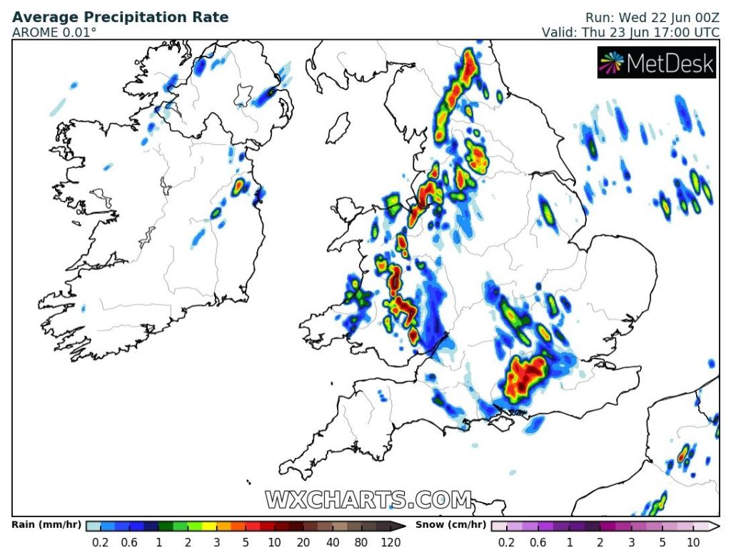
Friday: A cloudier day and cooler after a humid start. Any early thundery showers easing then a day of occasional bright spells with scattered showers developing again into the afternoon, perhaps thundery. Max 21°C
Weekend: Hard to forecast showers.
Saturday: Bright spells for the morning. Showers could pop up for the afternoon but this is tricky to forecast at this stage. With the low pressure out west we could well get away with a reasonable day. Breezy and cooler than recently but pleasantly warm in any sunshine. Max 19°C
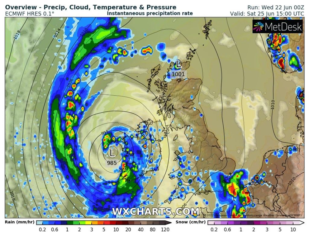
Sunday: Quite unsettled with frequent showers developing into the afternoon with possible hail and thunder. Windy. Max 18°C
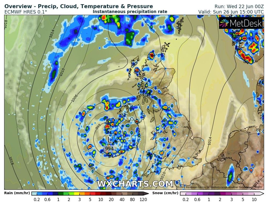
Outlook: Temperatures around average with sunny spells and frequent hefty showers. Risk of thunderstorms. Hints of it warming up again later in the week but the risk of showers remains.
Follow @ChadWeather on Twitter for the latest forecasts and warnings.
Thanks,
Jon
Forecast Issued: Wednesday the 22nd of June 2022 at 9:40pm.
Images: http://www.wxcharts.com
