Hi all,
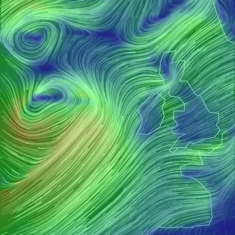
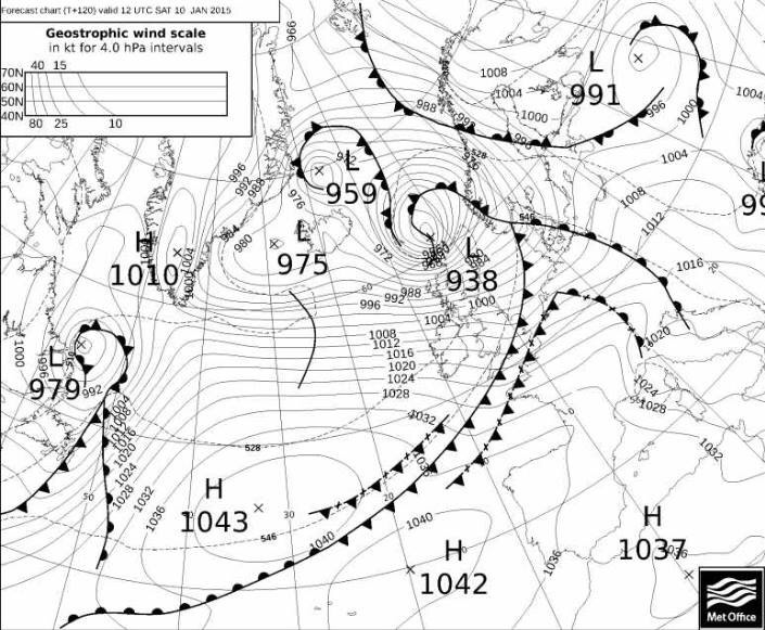
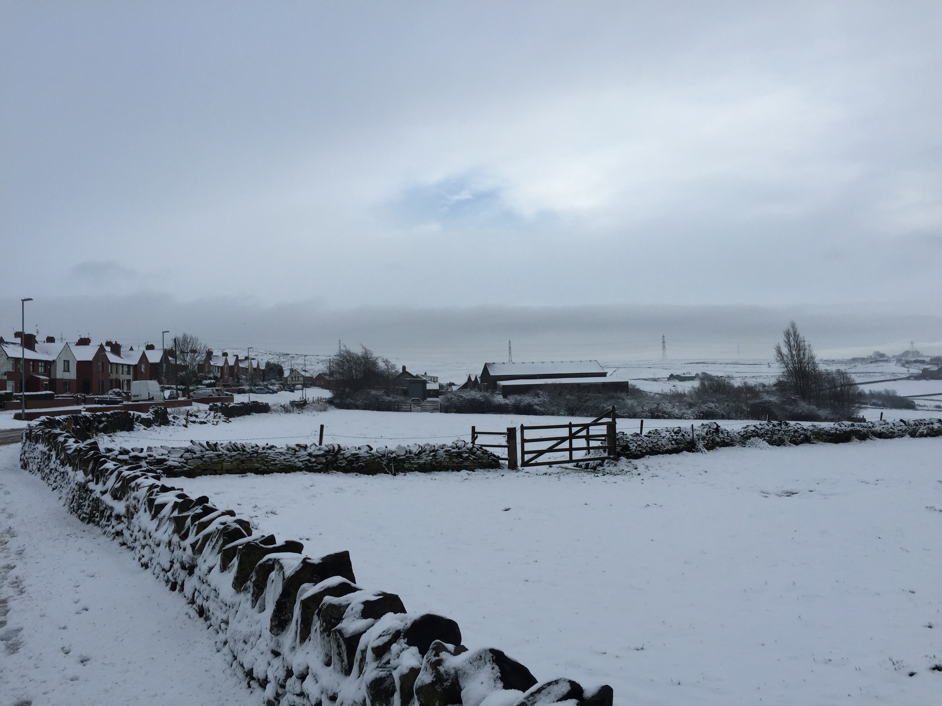
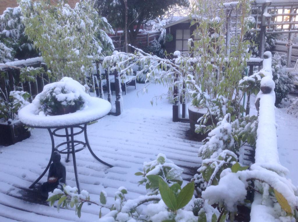
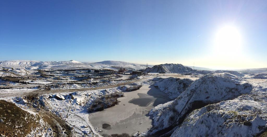
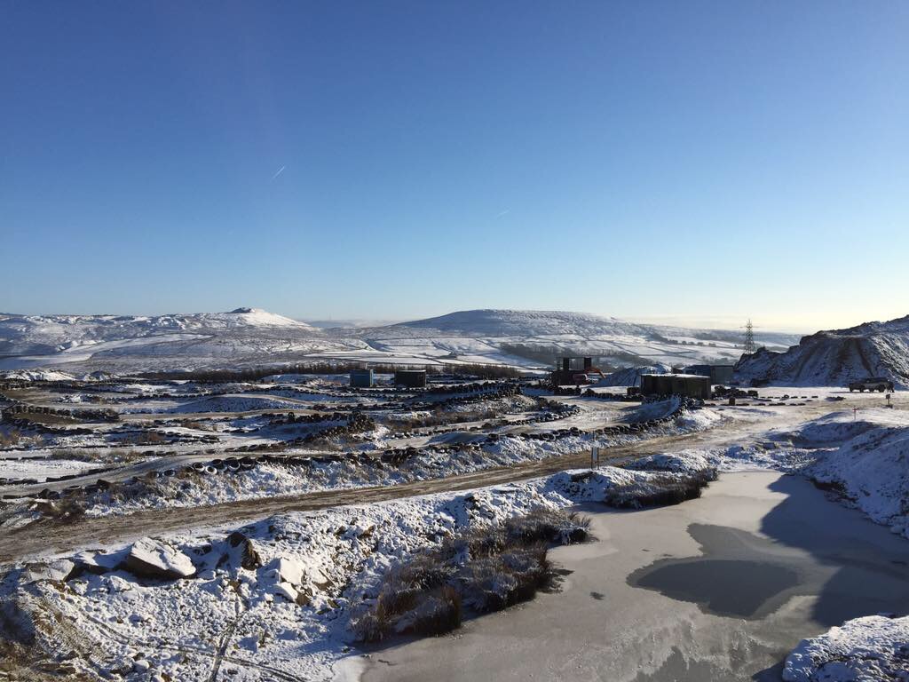
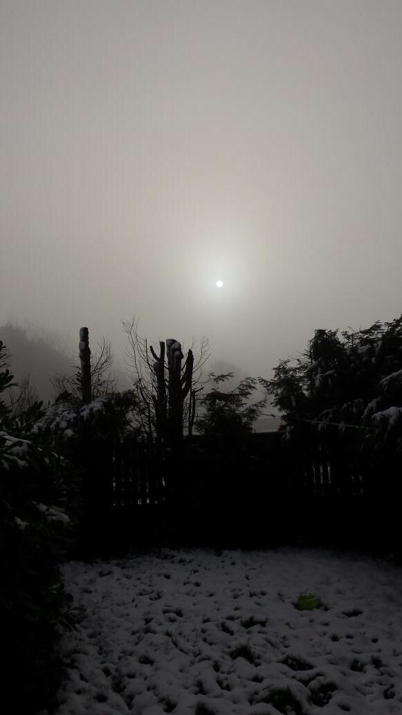
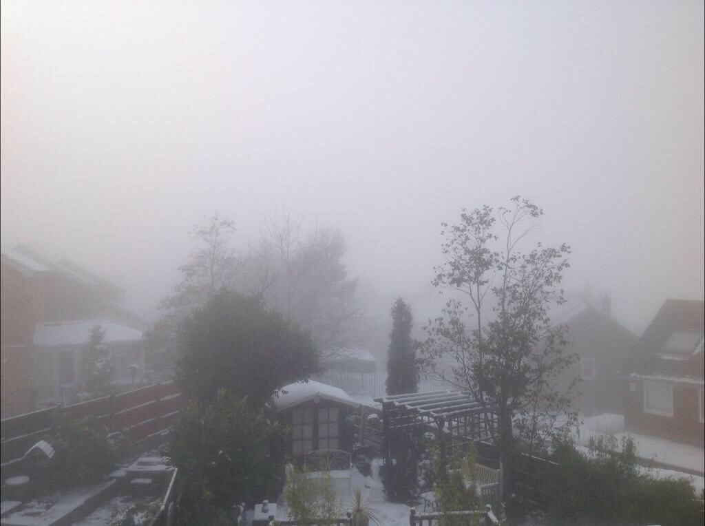
We are now into mid-January and mid-winter and having our fair share of gales and rain. It’s not unusual in January but so far we have had more than average. The photo below shows our Wednesday night and Thursday storm brewing nicely in the Atlantic.
After a very windy Wednesday evening we start Thursday with lively weather still present. It will be a day of sunshine and blustery wintry showers and these heavier later into the evening. Feeling cold and winds gusting to gale-force. Highs of 6°C.
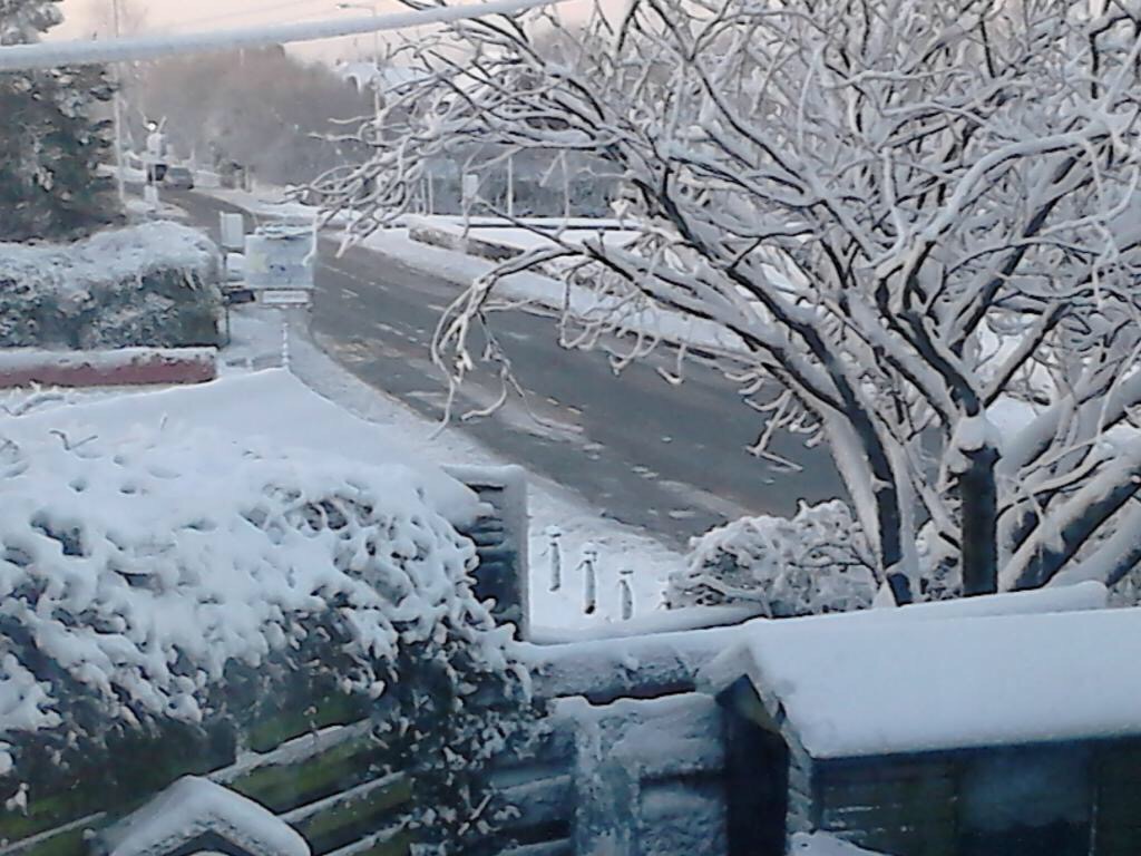
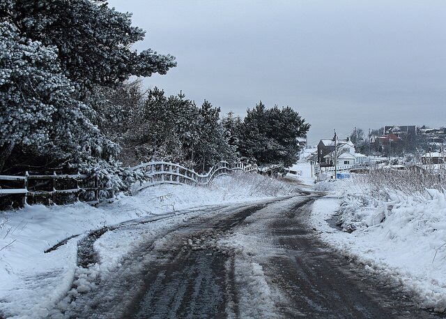
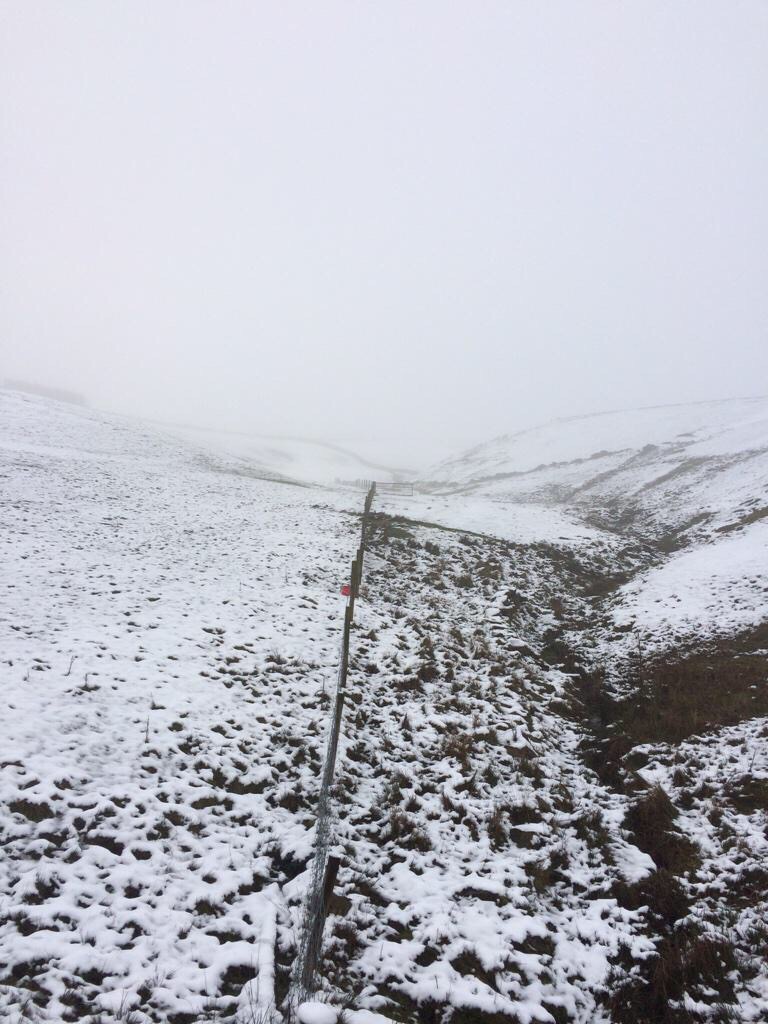
Friday sees showers, again wintry so don’t be surprised to see hail, snow and even hear a crack of thunder. A fresh west to north-westerly wind making it feel sub-zero. Highs of 5°C.
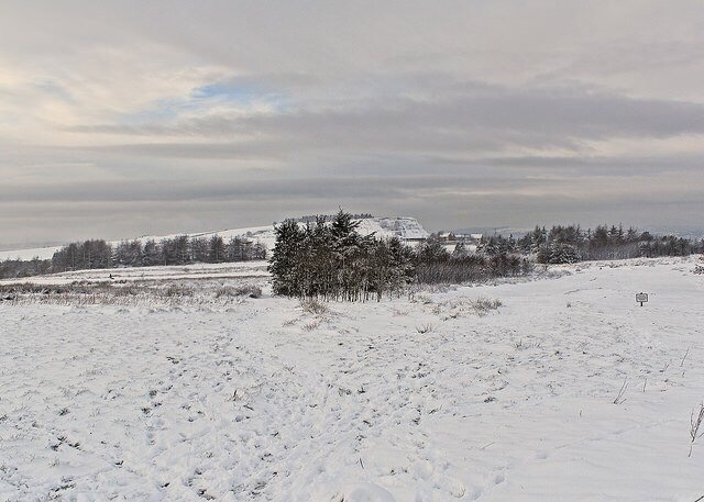
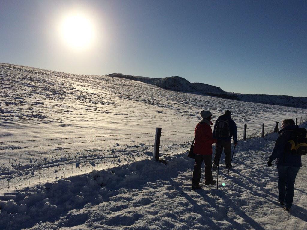
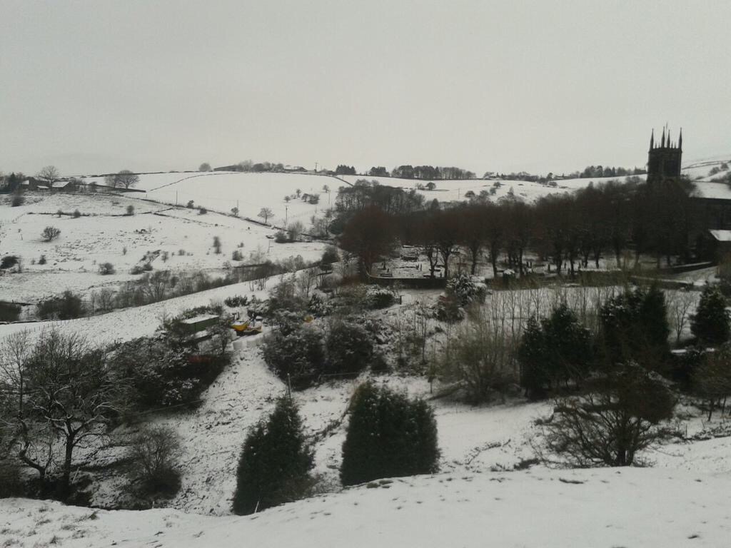
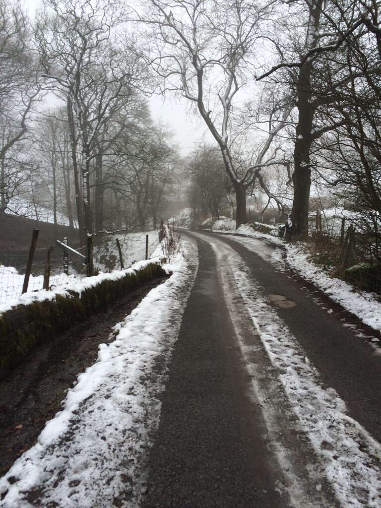
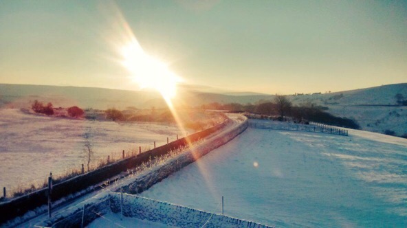
We go into Saturday under the influence of a cold airflow. Sunshine and wintry showers. These might merge during the morning with some hill-snow but the tendency is for the showers to ease later in the day. Still cold but the winds will be lighter. Frost and ice overnight. Highs of 4°C.
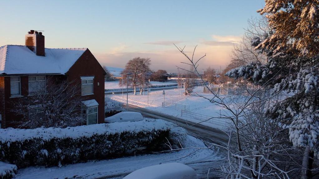
Sunday looks a reasonable day with some nice winter sunshine and a good chance it stays dry. Winds light so it will be a cold start and a widespread frost will set in after dusk. Highs of 3°C.
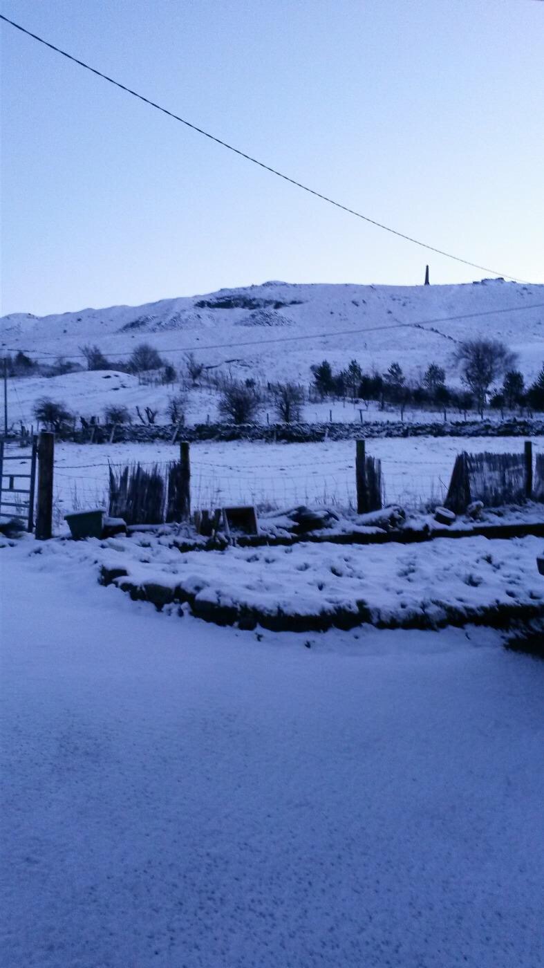
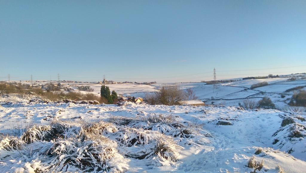
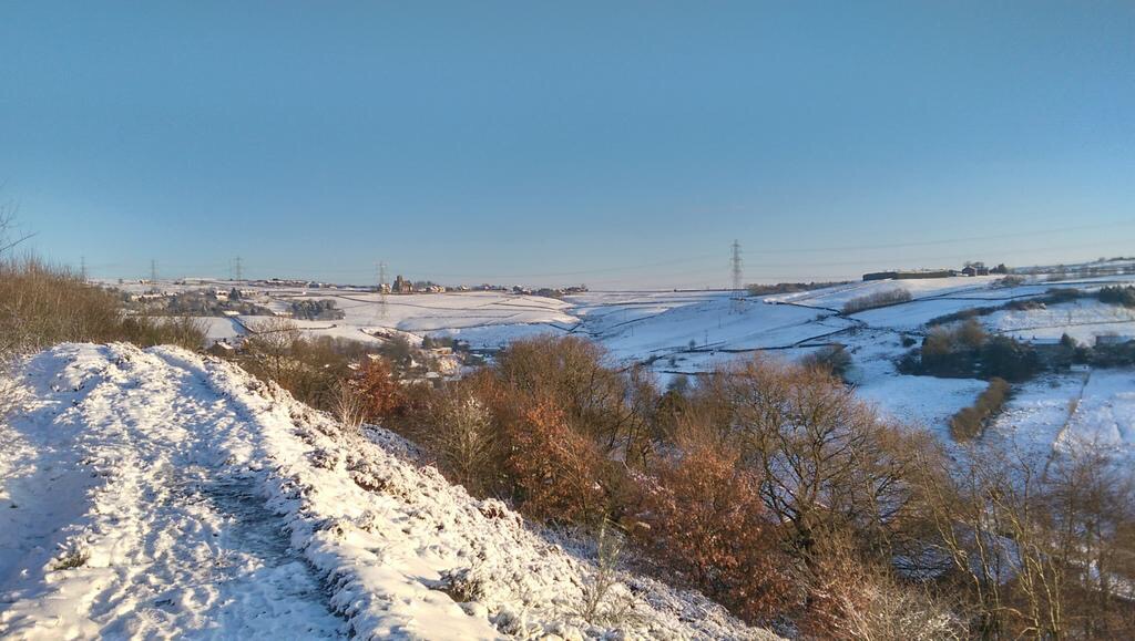
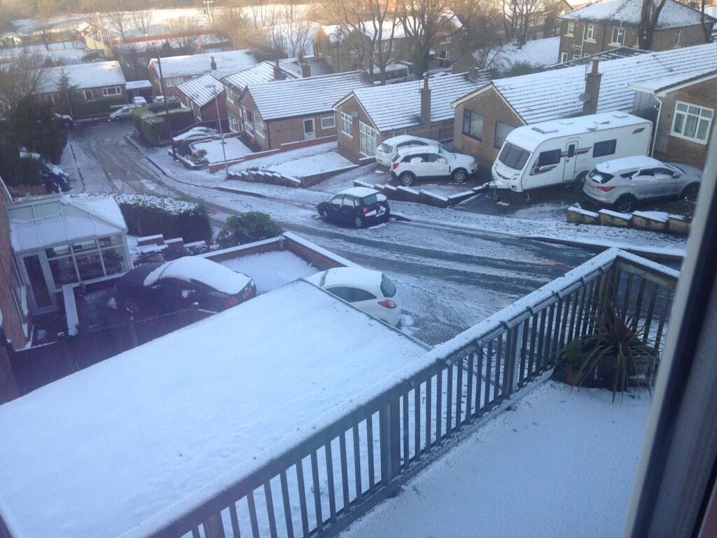
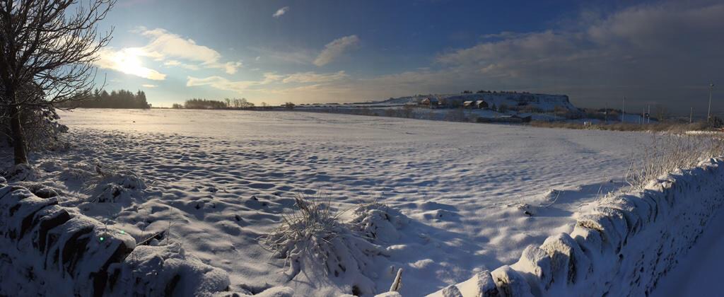
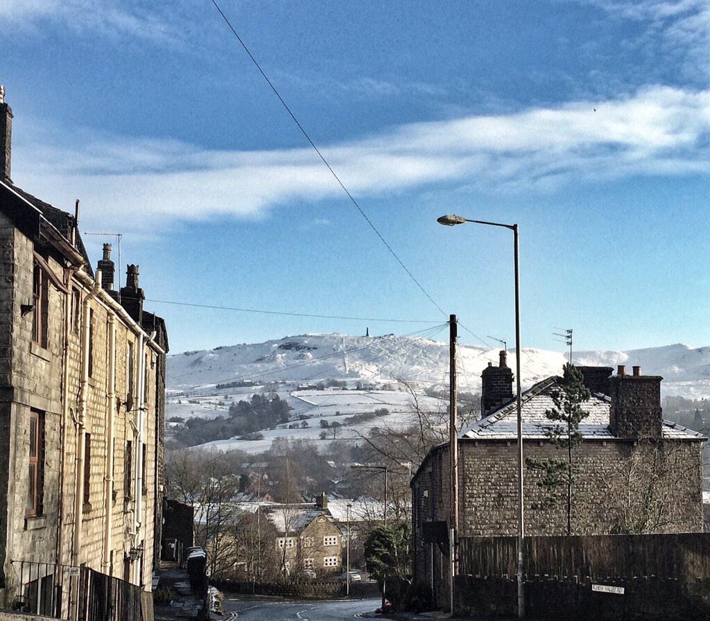
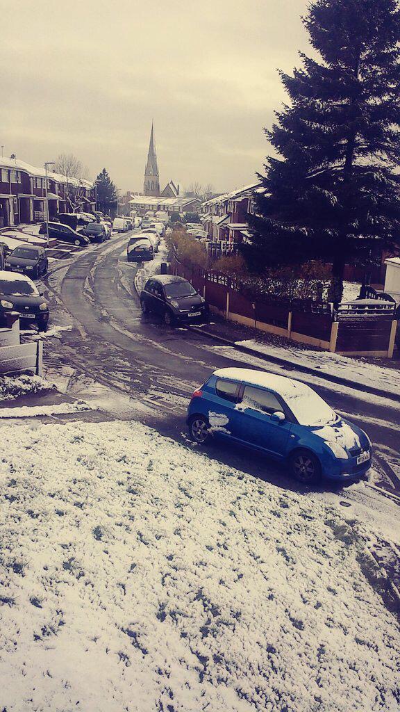
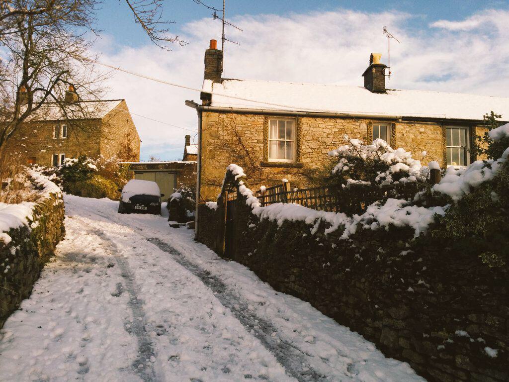
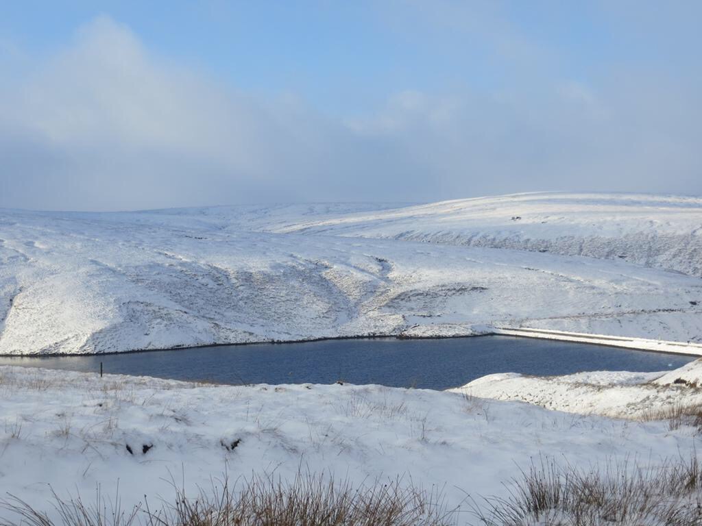
Looking ahead it remains cold with some wintry showers and night-frosts. Snow at times might become more likely but I’m not holding my breath.
Follow @ChadWeather on Twitter for your local weather updates.
Cheers
Jon