Hi all,
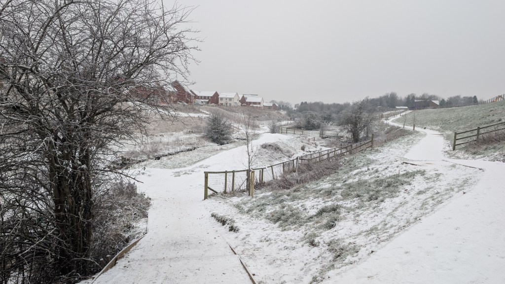
It’s been a glorious day today (Wednesday), a rarity at the moment to see sunshine and blue skies. Most of our weather is coming from decaying weather-fronts that come in from the Atlantic, meaning plenty of cloud and occasional drizzle or light rain.
Overall in January, although we’ve had many days of rainfall being measured, it has been a drier-than-average month with rainfall totals sitting below 60mm. Luckily for us we have escaped the majority of the heavy and persistent rain which has brought flooding to parts of the UK.
So what next? Any signs of high pressure anchoring itself across the UK and bringing some settled weather. No. Any significant cold coming in from the east, increasing the risk of snow and sub-zero temperatures. No. More of the same that we have experienced over the last couple of weeks. Yes. That said the media and the tabloid headlines still predict that snowmageddon is coming next week. For now it’s not.
Thursday: After a much better day on Wednesday. It’s unfortunately back to the doom and gloom with plenty of cloud around. There could be a few breaks in western parts, but this is more likely along the coast. Feeling cold with a lack of sunshine, especially later as the wind increases. Most places should be dry, but the cloud will be thick enough at times for some light rain or localised drizzle. Chilly overnight with a patchy frost where any clear spells occur. It will also be misty, especially over the hills. Max 6°C Min 1°C Max Gusts 25mph
Friday: A cloudy and cool day once overnight rain, with some wet-snow on the hills, moves away to the northeast. Breezy at times and also rain at times into the afternoon, which should be mostly light with further low-cloud. Mist and drizzle on the hilltops. Turning less cold overnight. Max 7°C Min 5°C Max Gusts 25mph
Weekend: Some rain around.
Saturday: We could see some local variations of weather across the region. Some areas will be cloudy and the cloud will be thick enough for patchy rain or drizzle to continue. There will be a few areas that are lucky enough to see breaks in the cloud which will lead to some bright spells and with temperatures still mild for the time of year it won’t actually be a bad day. Max 9°C Min 6°C Max Gusts 20mph
Sunday: Unfortunately, another mostly cloudy day on Sunday with any brightness the further west you are. Inland and especially towards the hills in the east, there is likely to be some rain around which could be heavy at times. Winds should be lighter than recent days. Max 8°C Min 6°C Max Gusts 15mph
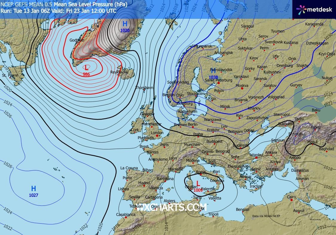
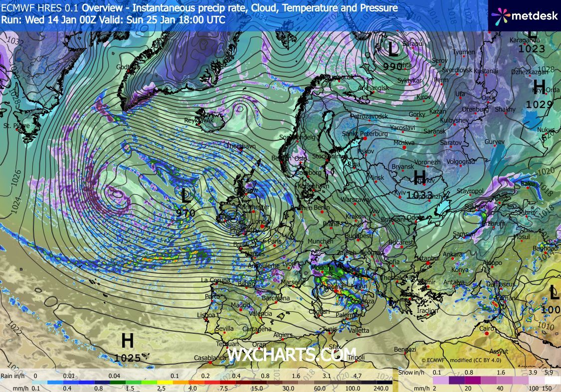
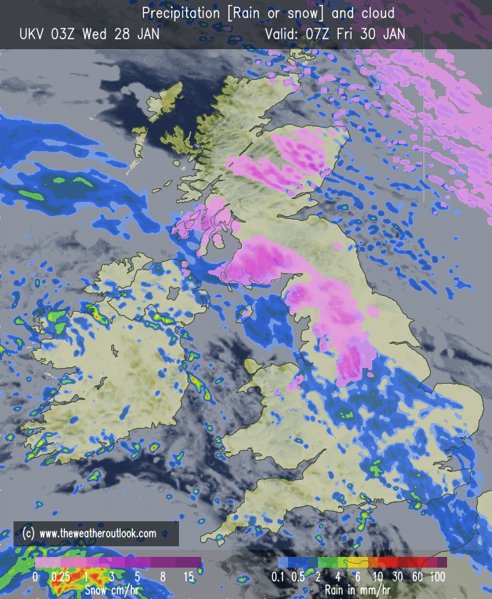
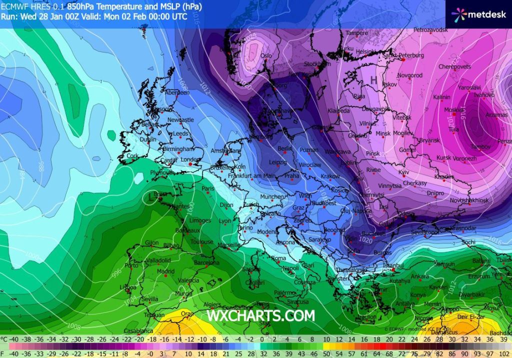
Outlook: We are stuck in a bit of a rut. Our weather is being driven by the Atlantic, with weather systems coming in from the west or southwest bringing rain or wind. However, due to high pressure in northeastern Europe, most of the heavy rain is falling in the southwest of the UK, as you will have seen on the news with all the flooding.
Once these weather systems move further across the UK, they are weakening and low pressures are decaying due to the higher pressure block out to the east. Unfortunately, what this means for us is we can wait days for a low pressure to fill and decay which means we get stuck under a lot of cloud, some rain, patchy drizzle and mist.
The outlook remains the same. Plenty of cloud, with occasional rain, heaviest in the west and southwest of the UK but very little difference in temperatures compared to recent times. So no significant cold. Any snow would be short-lived and more so sleet or wet-snow and on the highest hills.
Due to the lack of clear spells, frost will also be limited. Days like today (Wednesday) are days you need to make the most of, especially at this time of the year. I know people who want snow, for now, the wait for a proper cold spell continues.
Follow @ChadWeather on X and Bluesky for the latest forecast and warnings.
Thanks,
Jon
Forecast issued: Wednesday the 28th of January 2026 at 4:30pm.
Images: http://www.wcharts.com & http://www.theweatheroutlook.com