Hi all,
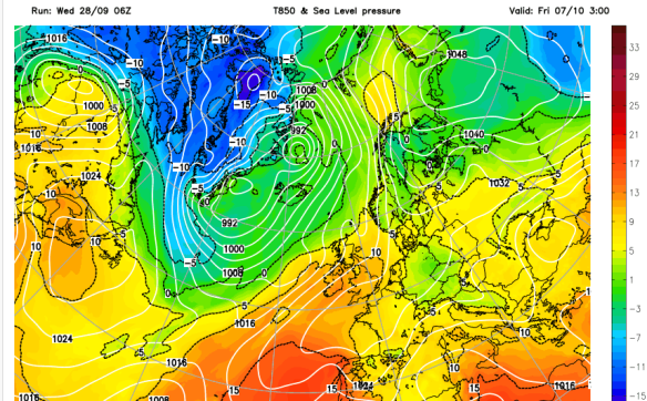
It’s been a decent start to autumn with most of us enjoying settled conditions and plenty of dry weather. This pattern is set to continue as high pressure to our northeast, acts as a block, stopping rain-bearing weather fronts coming in from the west.
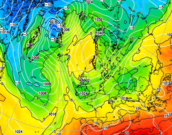
High pressure to our NE introducing blocking leading to cool easterlies.
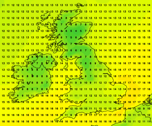
Thursday: Cool south-easterly winds across the region but it should remain dry with some bright spells. Max 13’C.
Friday: Not much change, plenty of cloud morning and night. Some bright spells will try to break through during the day. Still a cool breeze. Just a risk of some drizzle, early and late. Cool. Max 13’C.
Starting to feel like déjà vu. The weekend sees a lot of dry weather as the high pressure to the northeast stays put. Overall both days cool or even chilly in the breeze. Some welcome bright spells at times but these will come and go. See the sun and it will make it feel pleasant as long as you’re sheltered from the breeze. Max 13’C.
Next week: Little change until later in the week, when the Atlantic, disturbed by the recent events of Hurricane Matthew, might start to kick back into gear again. However, with this high pressure very stubborn to move, our dry settled cool weather could continue. For sure though, the first half of October looks set to be very dry.
September 2016 Stats
Max 23.7’C (13th)
Min 7.6’C (30th)
Wettest 21mm (13th)
Windiest 32mph (29th)
Rain 66.6mm
Rainy Days 17
Dry Days 13
As always, follow @ChadWeather on Twitter for the very latest forecasts.
Thanks,
Jon
Forecast issued at 2:15pm on Wednesday 5th October 2016
Images: http://www.netweather.tv