
Hi all,
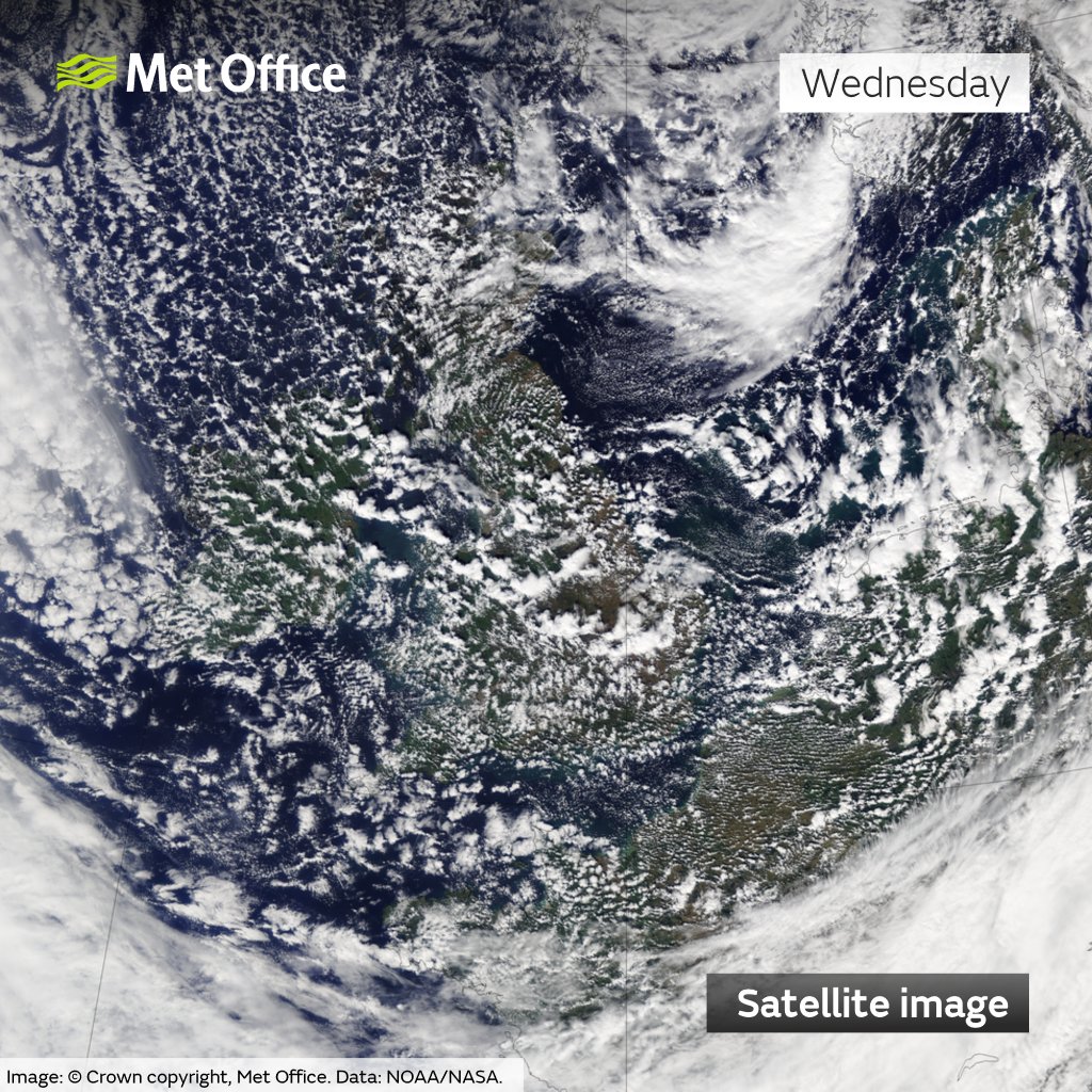
Autumn has got going this week, with our first airmass from the Arctic, bringing cooler temperatures and cold nights. Also, an area of low pressure introduced an unsettled spell of sunshine and showers. With an unstable atmosphere and a northwesterly airflow, the Irish Sea is good at brewing showers and on Wednesday we certainly had plenty of those, as a trough delivered over half-an-inch of rain in places, as well as some hail and thunder.
Thursday: There will be showers to start the day along the coast feeding into the Cheshire Gap. Inland it will be a sunny start but chilly with perhaps a touch of ground-frost in rural spots. Another windy day with sunny spells, and showers will develop inland but there will be nowhere near as many as Wednesday. There’s even a chance some areas could escape dry throughout the day. Still chilly but less cold air is on the way, but before that we will see a ground-frost overnight, or perhaps an air-frost rurally. Max 13°C Min 0°C
Friday: High pressure is building in from the southwest so this will kill off any remaining showers and it should be a mostly dry day with winds easing and not as cold as recently. After a sunny start cloud will spill in from the southwest. Max 14°C Min 8°C
Weekend: Milder but risk of rain on Sunday.
Saturday: Breezy and dry with sunny spells which are likely to be hazy at times. Warmer as we’ve now introduced a southwesterly airflow. Max 18°C Min 11°C
Sunday: A cloudier day as a weakening weather-front sinks south bringing some patchy rain. Breezy and feeling a little cooler with the lack of sunshine. Max 17°C Min 11°C

Outlook: It’s looking increasingly likely that high pressure will build across the UK bringing sunnier weather, drier conditions and temperatures rising back up close to 20°C, so above-average. It looks set to drift north later in the week meaning we introduce quite a gusty easterly wind taking the edge off the temperature.
Follow @ChadWeather on X for the latest forecasts and warnings.
Thanks,
Jon
Forecast Issued: Wednesday the 11th of September 2024 at 4:45pm.
Images: http://www.wxcharts.com & The Met Office
