Back to the mild muck after some lovely frosty mornings. Unlikely to see any significant cold before mid-December – Thursday 27th November 2025 – Sunday 30th November 2025

Hi all,

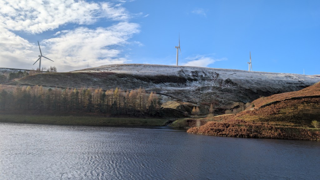
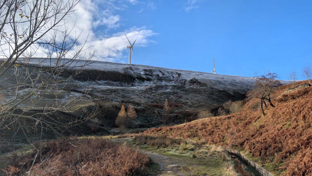
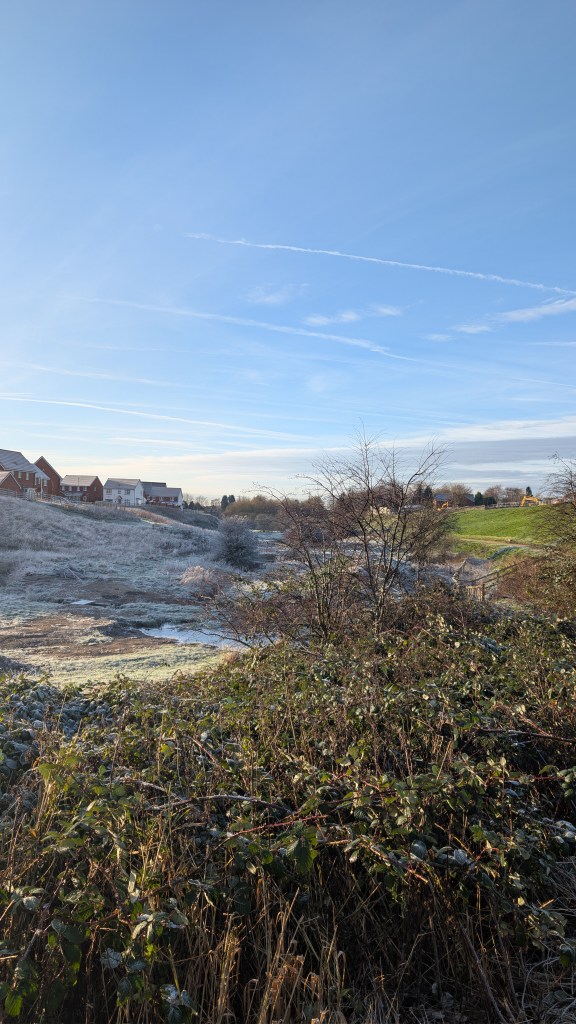
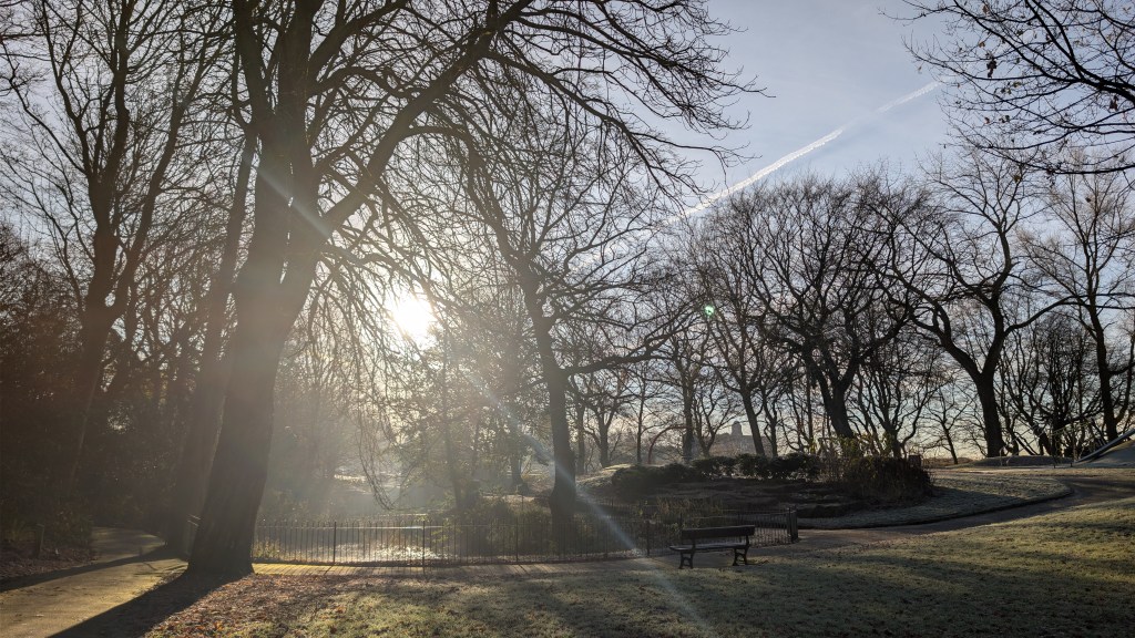
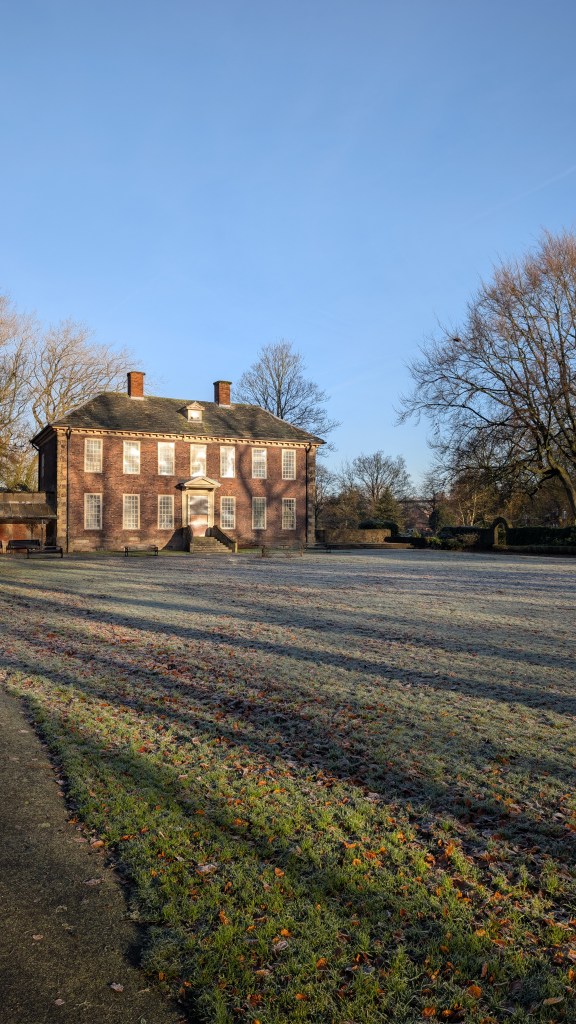
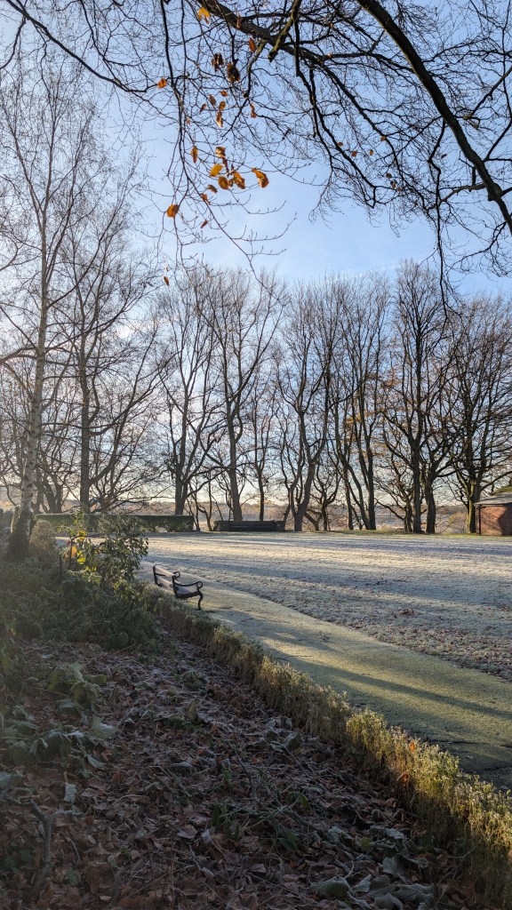
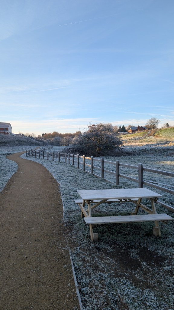
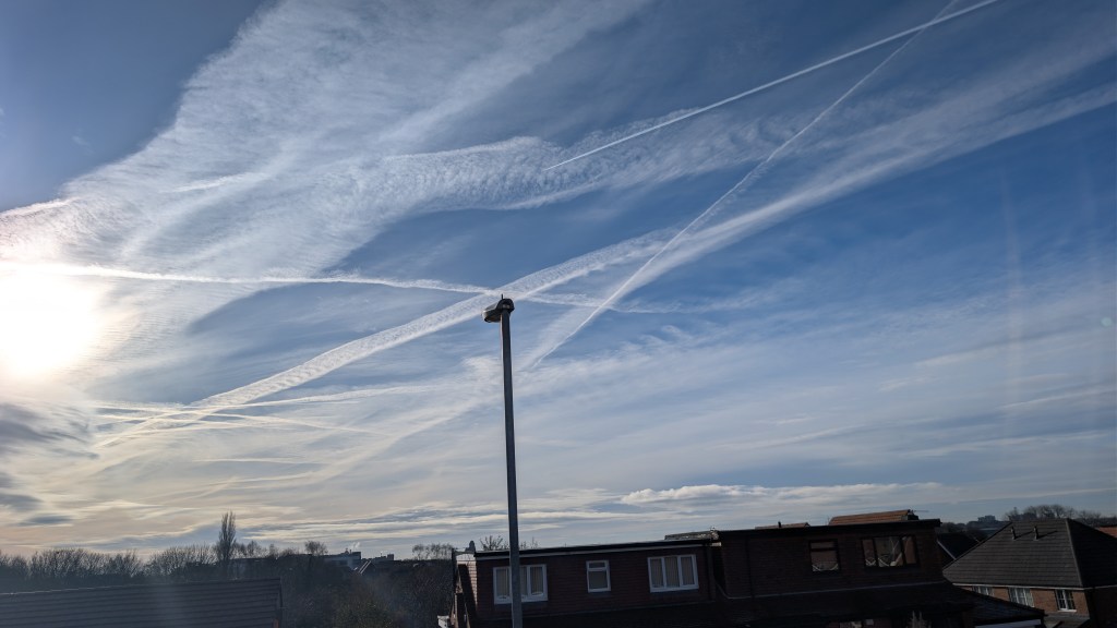
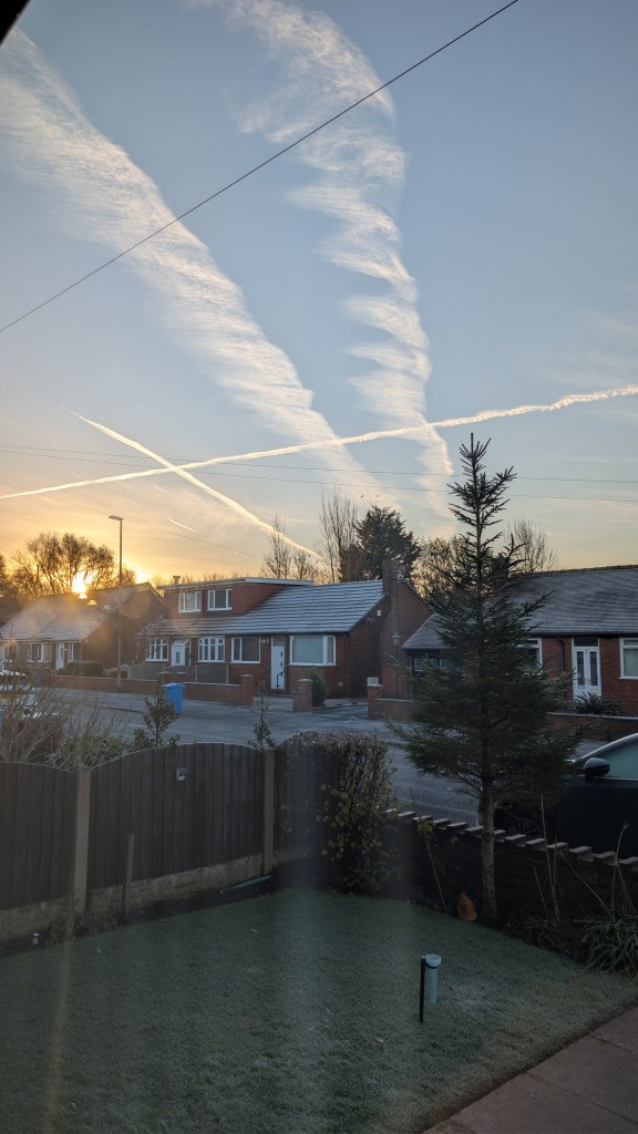
I went out and about this morning for a beautiful walk in the late-autumn sunshine and moderate frost. Lows widely of -3°C last night with some rural frost-hollows down to -7°C. I love these mornings but for now it’s all change and back to the milder weather.

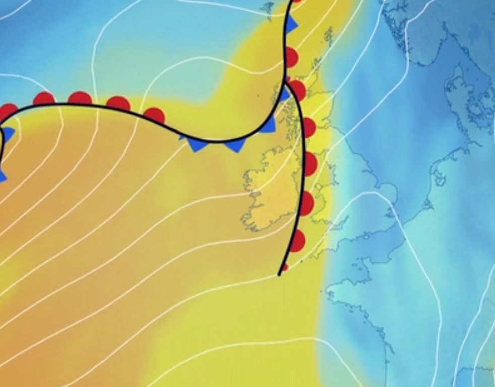
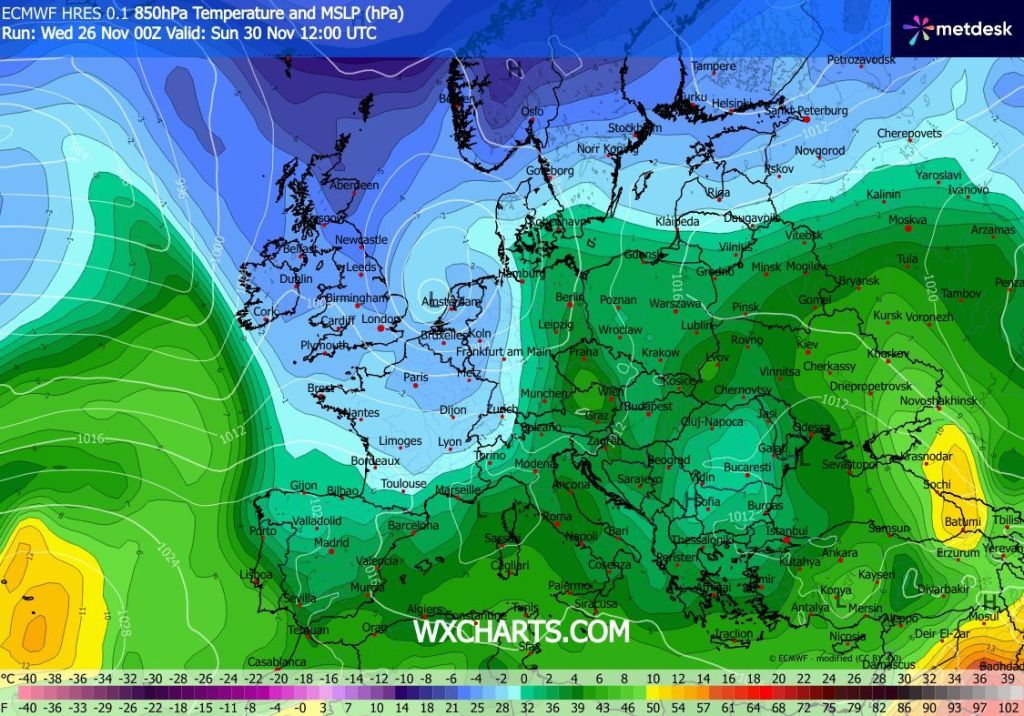
December itself was looking quite interesting for cold conditions with everything becoming quite favourable, but for now this is taking a backseat and we can expect the first half of December to be mostly mild or even very mild at times with occasional spells of rain and wind. If you love the snow and you want some significant cold then I wouldn’t get your hopes up until the second half of December. I’m not a fan of doing long-range forecasts and this is not obviously a concrete outlook but it’s more likely than not to turn out that way.

A walk to Foxdenton Park this morning in the frosty conditions.
This morning was forecast to be littered with lingering contrails ahead of the change to damp, milder and cloudier conditions. It didn’t disappoint.

Thursday: We are now in a warm-sector. This means we are in between weather-fronts and we are in the mild air for now. A windy and mostly overcast day with a few areas of showery rain around. Pleasant in any brightness. Low visibility on the tops. Much milder than recently. Max 14°C Min 7°C Max Gusts 30mph

Milder air sitting in a warm sector arrives from the west as we head into Thursday. Image: BBC Weather

Friday: Not as mild on Friday and another windy day with occasional bands of showers and dry conditions in between. Max 10°C Min 3°C Max Gusts 30mph

Weekend: Not a bad weekend to be fair but cooler.

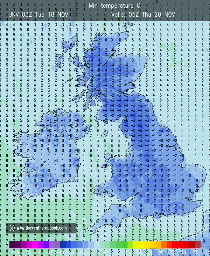
Saturday: We should still see some showers around, but they should tend to ease into the afternoon as a ridge of high pressure builds. Winds will be lighter than recently and with clear skies overnight, it’s likely that a frost will return. Max 7°C Min -1°C

Briefly colder again this weekend but milder air returns next week. No sign of any significant cold.

Sunday: A cold and frosty start with a few mist patches, sunny spells for a time and then skies becoming hazy as cloud thickens later in the day ahead of a change to rain again on Monday. Max 7°C Min 3°C

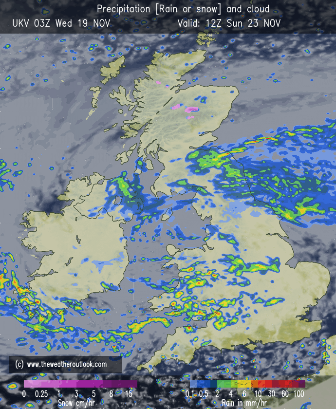
Outlook: It looks likely that we will see some rain on Monday and with winds returning to a southwesterly direction it will be milder once again. The rest of the week does seem to be reasonably unsettled with occasional showers or rain and temperatures sitting at around average. I do not think we will see any significant cold or a risk of snow in the first half of December. The second half of December is way off but hopefully we see something resembling winter.

Thanks for popping by to read the Weekly Blog.

Follow @ChadWeather on X and Bluesky for the latest forecasts and warnings.

Thanks,

Jon

Forecast Issued: Wednesday the 26th of November 2025 at 4:56pm.

Images: http://www.wxcharts.com, BBC Weather and http://www.theweatheroutlook.com

Sharp frosts and lovely sunny skies but less colder air and rain will return soon – Thursday 20th November 2025 – Sunday 23rd November 2025

Hi all,

Our first early taste of winter this week. It’s autumn still of course but we’ve had some frost and hill-snow and further frosty nights await.

Will milder air return? Yes, less cold into the weekend and eventually rain will be back but will it last?

I ventured up to Greenbooth Reservoir today to try and find some snow. The snow-line was around 900ft and you could tell it was mostly wet-snow that had fallen overnight and then was gradually melting as the cloud cleared and the sun came out.

Thursday: A sharp frost to start and a sharp frost to end. But during the day it’ll be a cracker with plenty of sunshine and blue skies. It’ll be quite breezy for a few hours and this will really take the edge off the temperature making it feel sub-zero. Max 4°C Min -5°C Max Gusts 20mph

Friday: Another dry and decent day with plenty of sunny spells after a harsh frost. The frost is likely to persist in the shade all day. However, there is change on the way and cloud will arrive and thicken from the west later in the day. Overnight, milder air will slowly filter in and winds will pickup slightly and patchy rain will arrive which might fall initially as sleet and snow on the tops, but it will not last long. No frost overnight. Max 3°C Min 1°C

Sharp frosts overnight Wednesday and Thursday

Weekend: Milder and some rain likely.

Saturday: Cloudy with patchy rain which should become heavier later in the day as winds increase and become quite gusty into the evening. Less cold but still feeling particularly chilly due to the conditions. Max 9°C Min 5°C Max Gusts 25mph

Sunday: After the sunshine of Thursday and Friday, it’s a disappointing weekend overall, with Sunday being similar to Saturday, plenty of cloud about and some rain at times. Damp and chilly but winds should be slightly lighter. Max 8°C Min 5°C

Cloudy with some rain at times this weekend, but there will be drier spells in between and less cold.

Outlook: The outlook does not include much sunshine by the looks of it. Temperatures hovering around average with mostly cloudy conditions and rain at times. Due to the cloud cover frosts overnight look limited. As we head into December, there’s a lot of excitement about colder conditions, but this far out is impossible to say. This time next week I could well have more of an idea of when the next cold snap is coming.

Thanks for reading as always, much appreciated.

Follow @ChadWeather on X and Bluesky for the latest forecasts and warnings.

Thanks,

Jon

Forecast issued: Wednesday the 19th of November 2025 at 4:30pm.

Images: http://www.wxcharts.com, http://www.theweatheroutlook.com & The Met Office.

More rain then the first Autumn chill on the way, as colder air arrives from the north – Thursday 13th November 2025 – Sunday 16th November 2025

Hi all,

The first cold spell of the season is on the way with temperatures going below average for the time of year but it won’t be anything unusual. Winter is still a few weeks away but we could see some wintry showers around next week. Of course you will see the usual hype in the media, of walls of snow and temperatures, plummeting etc.

Thursday: A bright start and not a bad morning with a few sunny spells. Cloud will thicken from lunchtime and there could well be a few showers and then some patchy rain later in the day, and also, a keen and cooler northeasterly breeze will pick up. The wind will switch northeasterly into the afternoon and you’ll notice the change in the feel to the weather. Max 13°C Min 6°C Max Gusts 20mph

Friday: After a dry and possibly bright start in a few places, cloud and heavy rain will arrive and it will turn out to be a dismal day. Plenty of rain around and strong to gusty northeasterly wind making it feel cold. Max 9°C Min 6°C Max Gusts 35mph

Very wet across England & Wales on Friday

Weekend: Colder air slowly arriving.

Saturday: Any lingering rain should begin to ease and then a mostly cloudy day but with a few bright spells later. Keen northeasterly winds still making it feel chilly but at least the persistent rain has gone. Max 9°C Min 5°C Max Gusts 25mph

Sunday: A much better day in prospect with bright or sunny spells, a fresh northerly wind and just a low chance of a shower. Turning cold after dark with a patchy ground-frost. Max 9°C Min 2°C

Outlook: Cold with mostly dry and cloudy days to start the week. Odd wintry shower possible on higher ground. Midweek onwards is difficult to predict. We could well see an area of low pressure bring a mixture of rain with sleet or wet-snow on the hills. Any clear skies overnight will lead to a frost. The cold weather is expected to last most of the week but milder air should start to return from the 22nd.

Colder airmass next week and that means we could see some wintry precipitation on the hills.

Follow @ChadWeather on X and Bluesky for the latest forecasts.

Thanks as always for stopping by to read.

Jon

Forecast Issued: Wednesday the 12th of November 2025 at 3:09pm

Images: http://www.wxcharts.com

More in the way of drier weather but remaining mild for now – Thursday 6th November 2025 – Sunday 9th November 2025

Hi all,

A quick blog this week. Some better days coming up over the next few days and eventually the very mild weather will ease away.

There were some signs of high pressure building in later this weekend and into next week, but now this is looking like it could be delayed and certainly not in the more reliable timeframe. If high pressure does build out to the east and become quite strong, there’s a good chance that the second half of November is colder.

Meanwhile, we will continue to look to our southwest for the weather.

Thursday: Not a bad day with some bright spells during the morning, then it will tend to cloud over from the south, but it should stay dry for most, apart from the old shower and again another mild one. Max 16°C Min 12°C

Friday: Another mostly cloudy day and we are likely to see a few bands of showers drifting northeast. Still mild for the time of year but a little bit cooler. Max 14°C Min 8°C Max Gusts 20mph.

Weekend: Reasonable.

Saturday: Caught in between weather systems really with pressure higher over to our east, and low pressure systems queueing up out in the Atlantic. Bright spells, a slight breeze and just a chance of an afternoon shower. Max 13°C Min 9°C Max Gusts 20mph

Sunday: Very little change but cloud will tend to thicken towards evening ahead of some light rain overnight. Max 13°C Min 9°C Max Gusts 20mph

Outlook: At this stage the outlook is quite difficult to pin down. It all depends on where this high pressure to our east builds and how stubborn it becomes. With higher pressure to the east, this should encourage holding off weather-fronts from the Atlantic. But I do expect a few weakening weather-fronts to sneak across the country and bring some cloud and patchy rain. Temperatures look likely to sit around the teens with no sign of anything significantly colder. But, we could tap into some cooler air later in the week, if the high pressure builds and drifts slightly westwards.

Low pressure to the west vs. high pressure to the east/southeast

Follow @Chadweather on X or Bluesky for the latest forecasts and warnings.

Thanks as always for stopping by to read.

Jon

Forecast issued: Wednesday the 5th of November 2025 at 7:10pm.

Images: http://www.wxcharts.com