
Hi,
It’s a quick weather blog this week as I’ve been out and about helping my dad do his garden in the beautiful sunshine. Glorious today, but will this weather continue? The answer is yes, in the short-term, but the warmest day of the year so far, on Wednesday, 19.4°C, close to my Match record of 19.6°C, won’t be troubled again for a while.
UV levels are now 3.
Thursday: There is likely to be a bit of low-cloud to start, but once this burns off, it should be another decent day with plenty of sunny spells and mostly light winds. Not as warm as Wednesday but still pleasant enough. Patchy ground-frost overnight. Max 17°C Min 3°C
Friday: There will be a weakening weather-front going down the eastern side of the UK and cloud from this could well get dragged in across the region meaning we start the day with low-cloud and fog on the tops. It will take a few hours but eventually this cloud again should burn away with the best of the sunshine in the west. Patchy ground-frost overnight. Max 16°C Min 3°C
Weekend: Morning cloud could be stubborn, otherwise decent.
Saturday: We can expect another cloudy start and misty in a few places. The cloud will slowly break up during the day leading to some bright or sunny spells, especially the further west you are. If you do remain under the stubborn cloud which could be thick enough at times on the hilltops for drizzle temperatures will be suppressed. Max 15°C Min 3°C
Sunday: Expect a cooler day with clouds stubborn to clear, but with the breeze picking up later during the day, this should help the cloud clear and we should see some sunny spells come through once again and most places will be dry. Max 14°C Min 5°C
Outlook: The areas of high pressure that were over us during the past week will drift away. Will we see a bit of an influence from the Atlantic during Monday as cloud and a few showers push through the region, especially later in the day, as well as colder air. Hopefully on Tuesday a ridge of high pressure should settle things down briefly with just a few showers. A bit of uncertainty later in the week but it seems favourable to become more unsettled with weather systems coming in from the Atlantic. It will be a bit of a battleground however, as a high pressure system from the Azores will try and nudge northeastwards across the country. So as you can see, quite a lot of uncertainty. So stay tuned for updates. But it certainly won’t be as warm or as sunny as it has been this week.
Thanks as always, for popping by to read.
Thanks,
Jon
Forecast issued on Wednesday the 18th of March 2026 at 5:08pm.
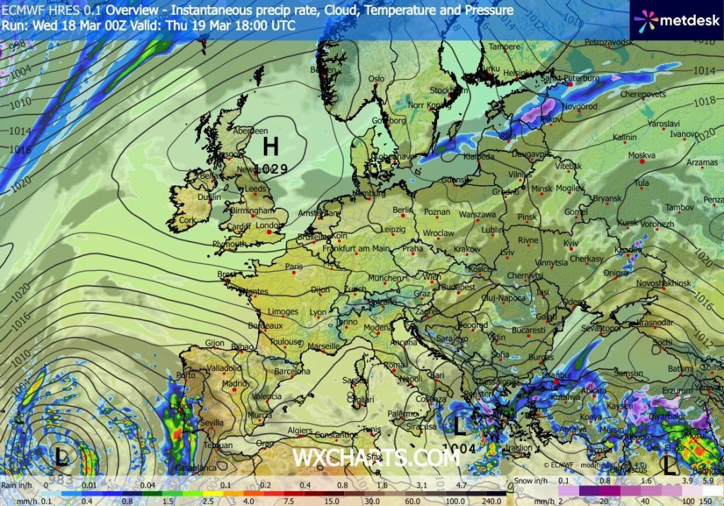
Images: http://www.wxcharts.com
