Issued 10am Wed 7th Jan
Hi,
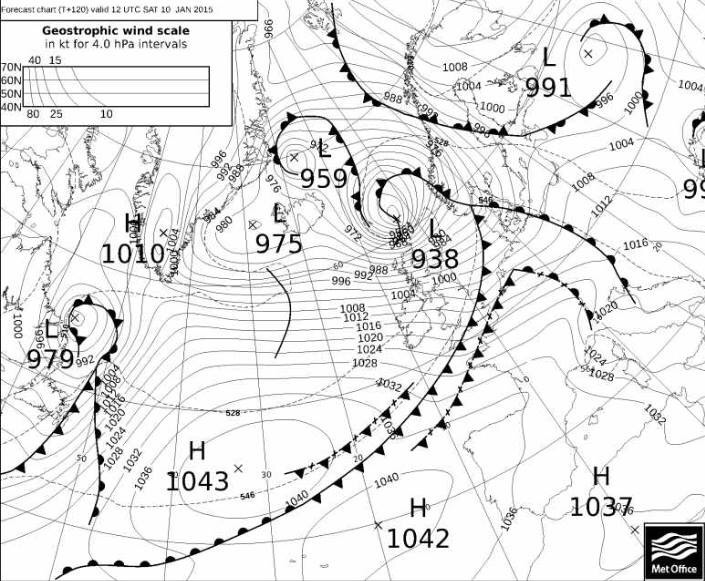
I hope you all enjoyed your Christmas holidays and all the best for 2015. We have a wet and windy outlook in this week’s forecast. Below is a Met Office chart showing a stormy forecast for Saturday with a very deep area of low pressure giving 60-70mph gusts locally and in excess of 100mph gusts in Scotland. Time to fix all that garden furniture down before it ends up halfway down the street.
Thursday will be a showery day but also remaining breezy. Most of the showers will be in the morning and they should ease during the day. Feeling chilly especially in the wind with highs of 7°C.
More active weather on Friday as another low pressure rattles in from the Atlantic with a period of rain during the afternoon and very windy conditions with possible gales. It will turn much milder. Highs of 13°C.
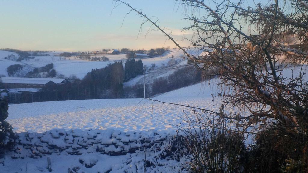
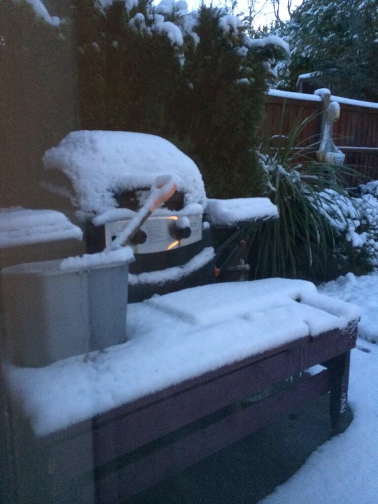
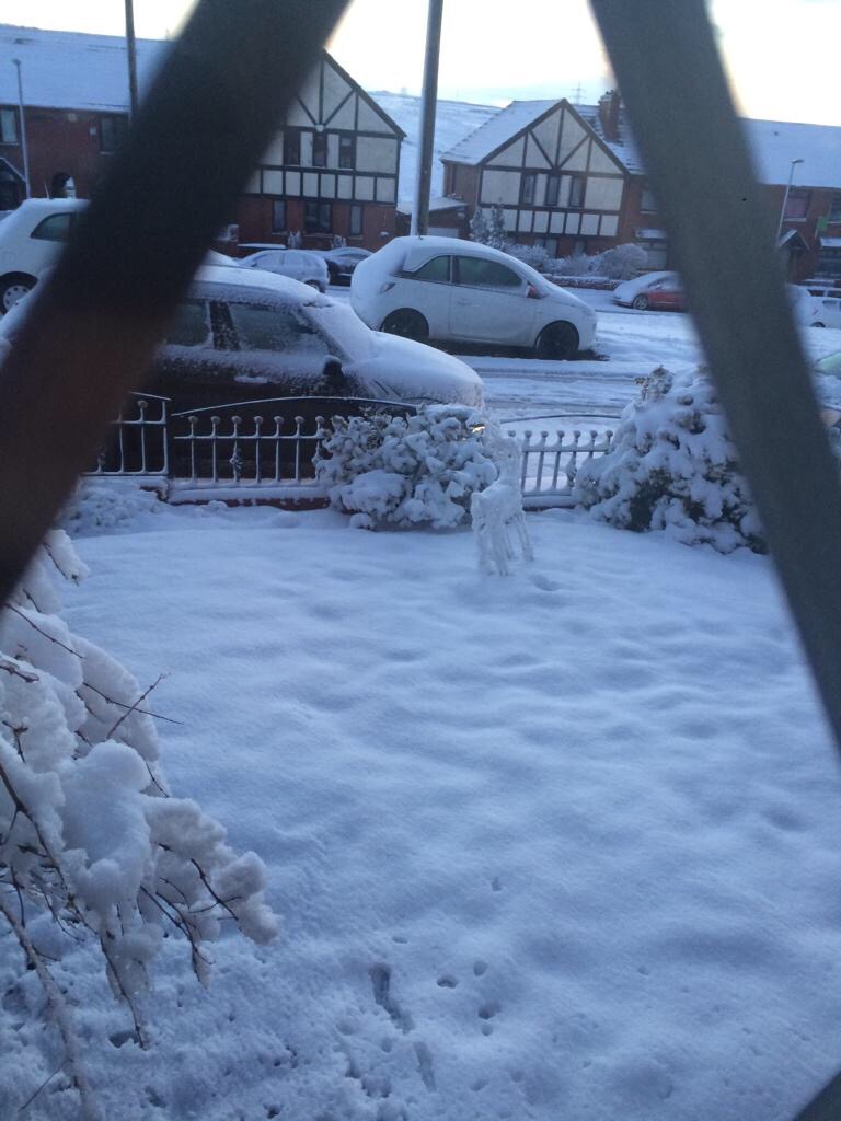
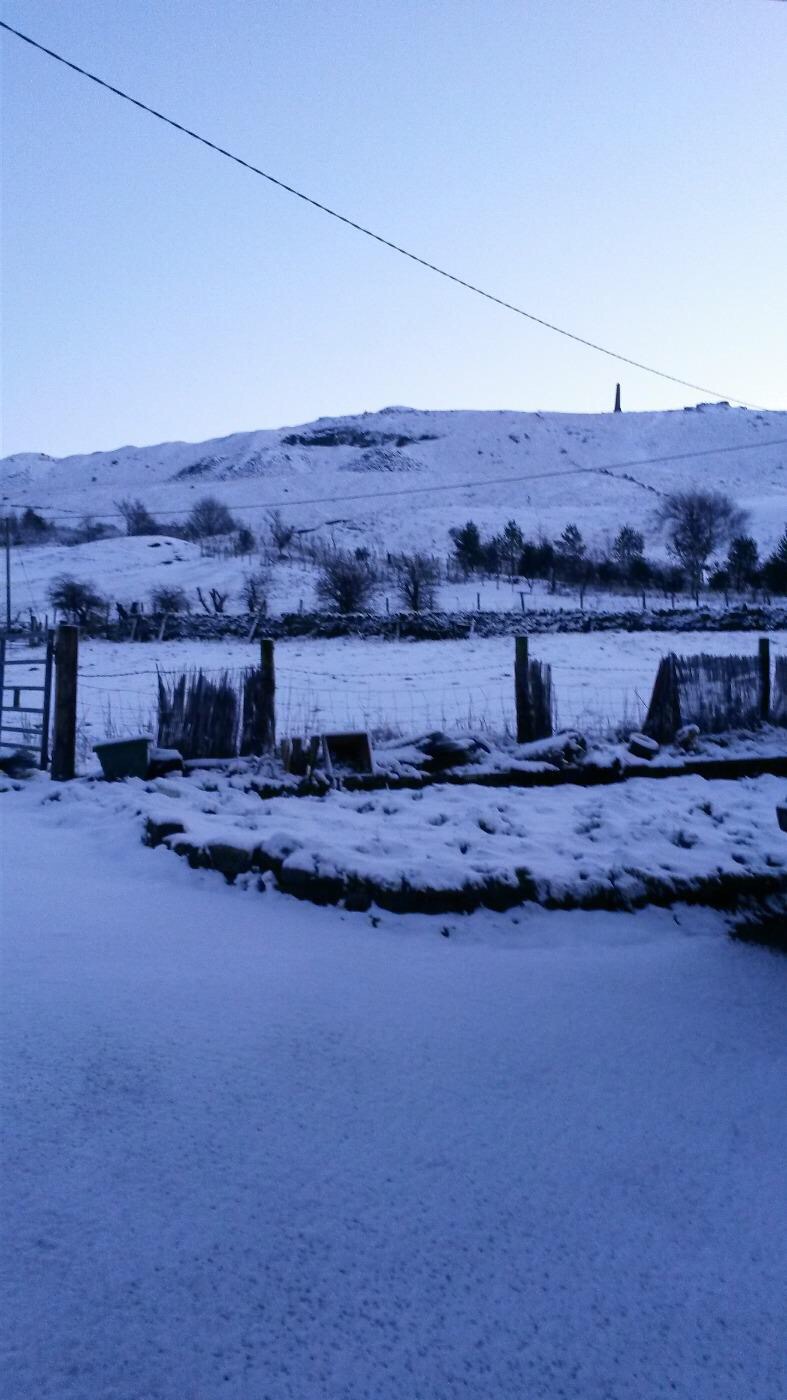
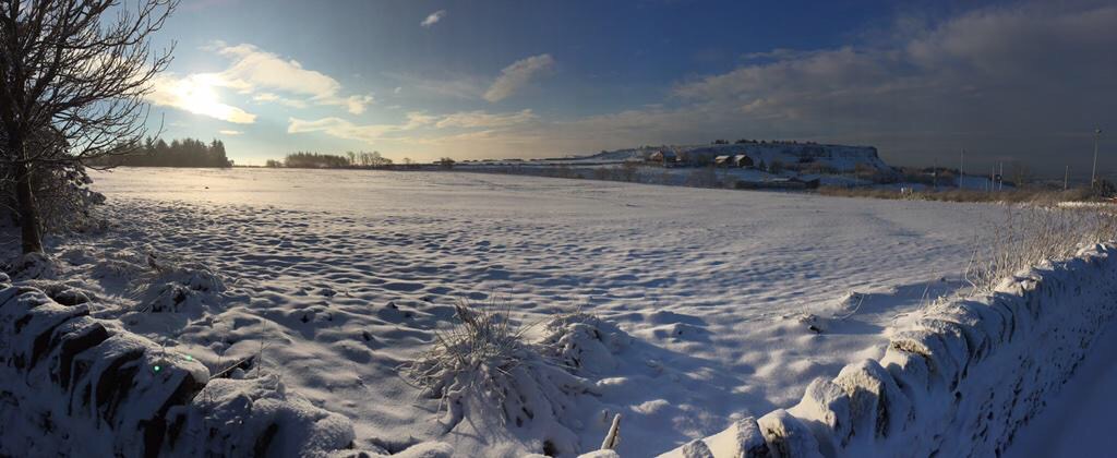
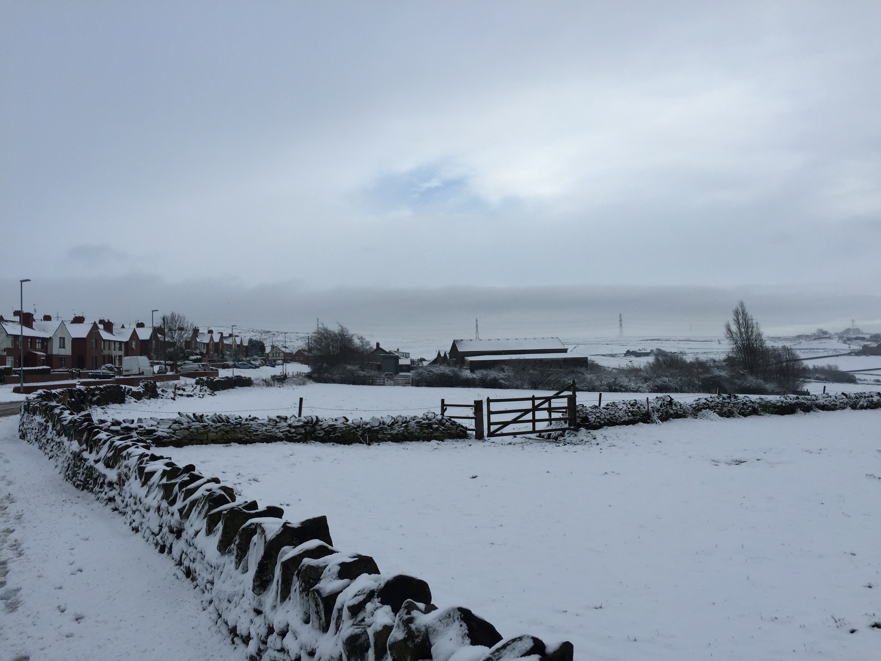
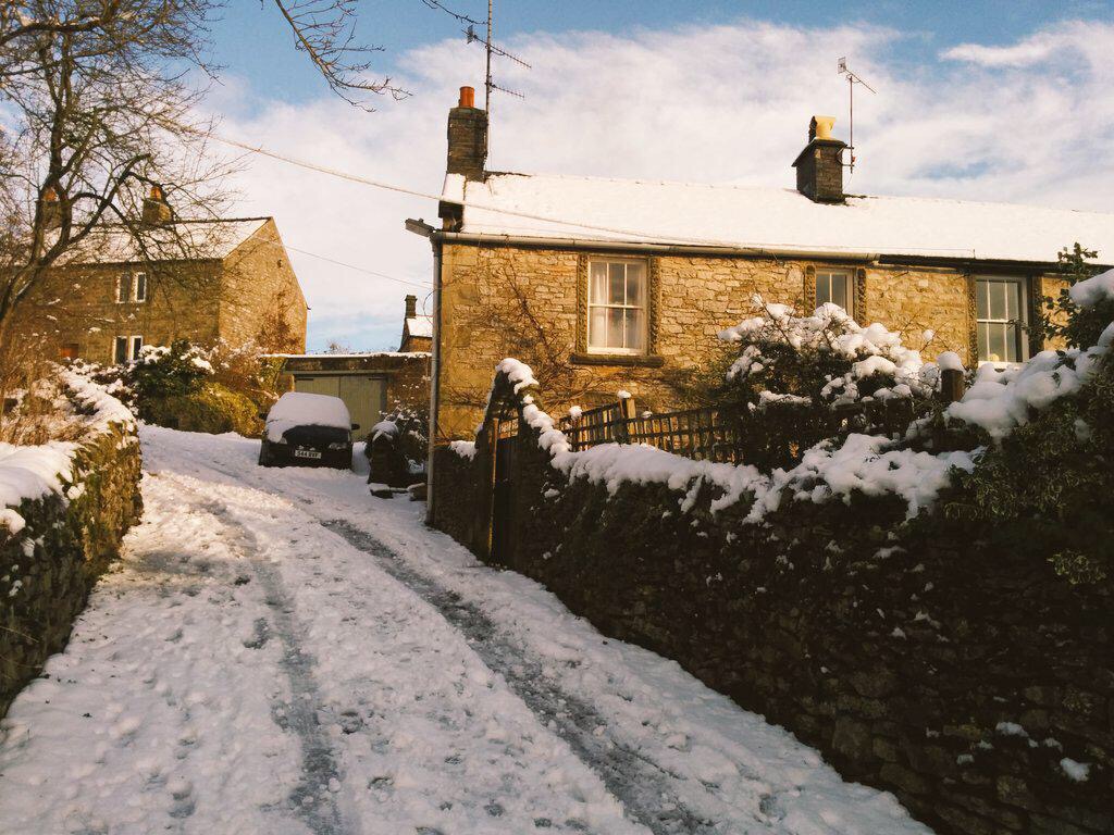
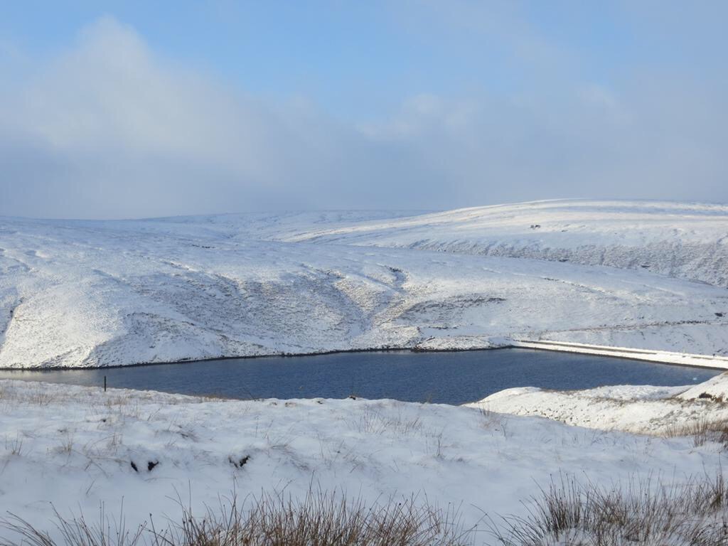
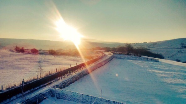
Rain or showers on Saturday morning which should ease slightly later. Another very windy day with gales or even severe gales across the region. Certainly one to keep an eye on with gusts to 70mph possible. Turning colder later. Highs of 11°C but this during the first part of the day. Any overnight showers might be wintry.
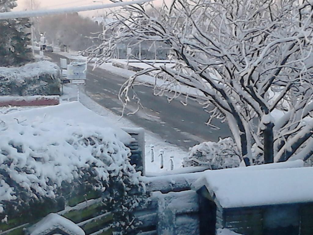
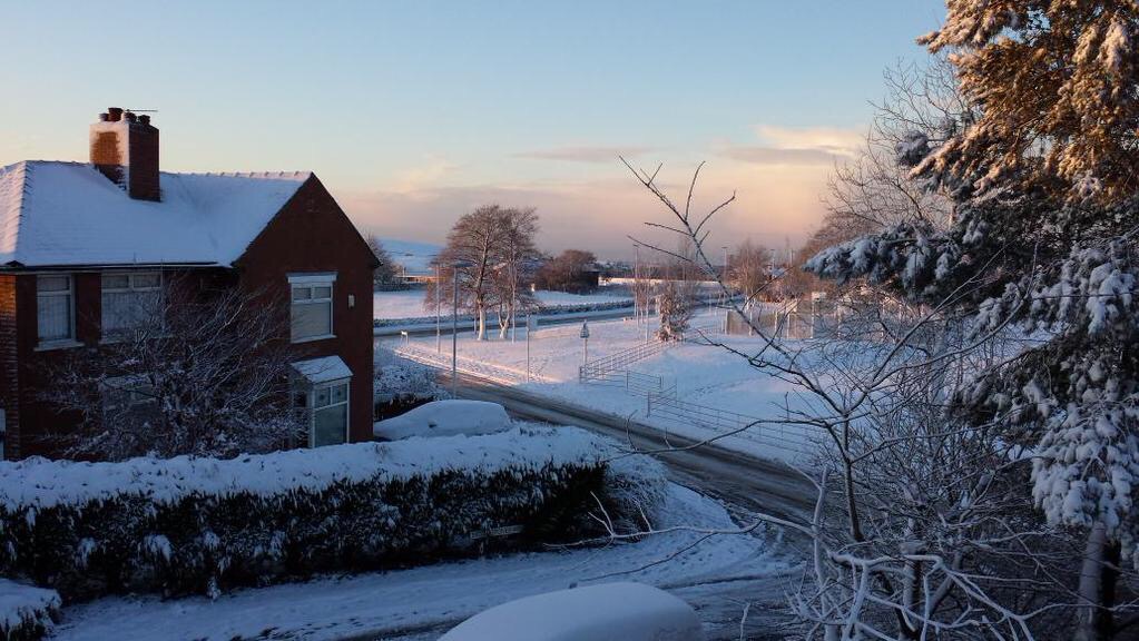
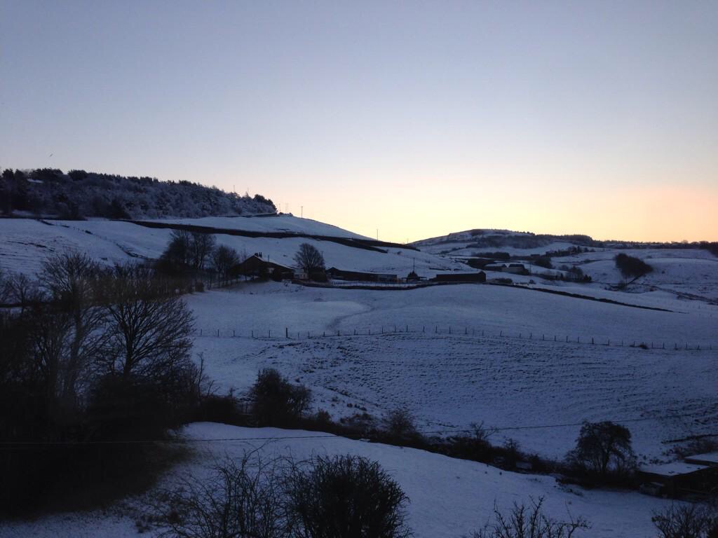
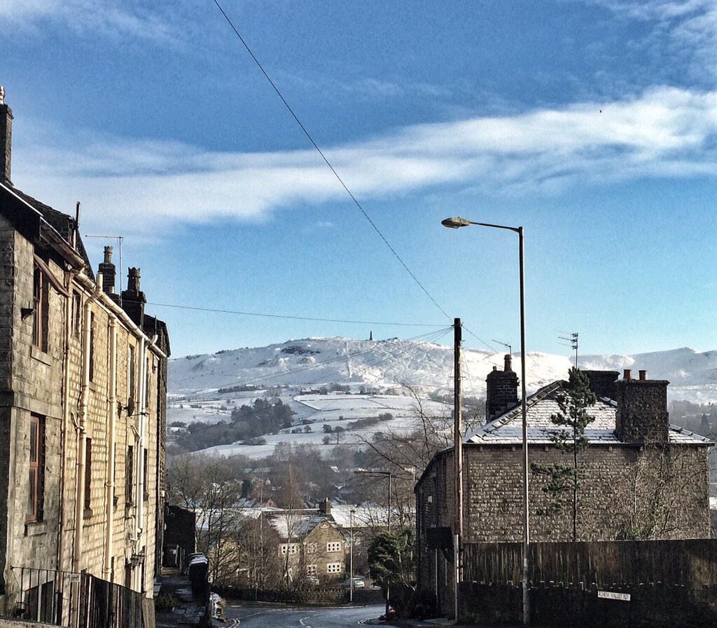
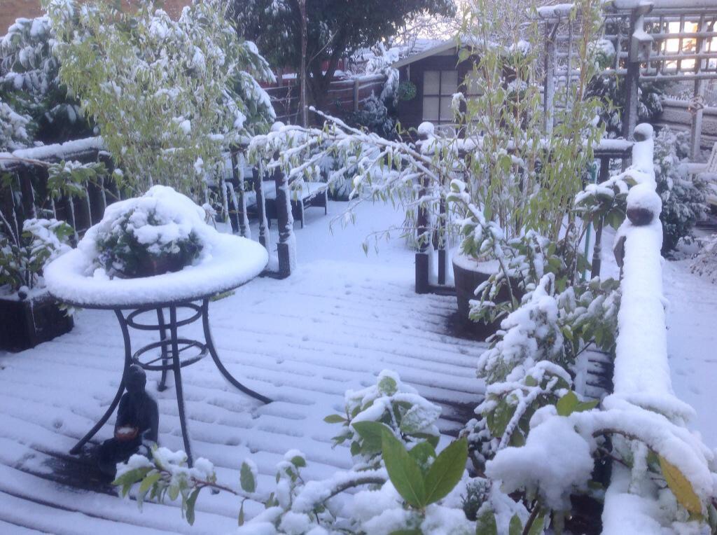
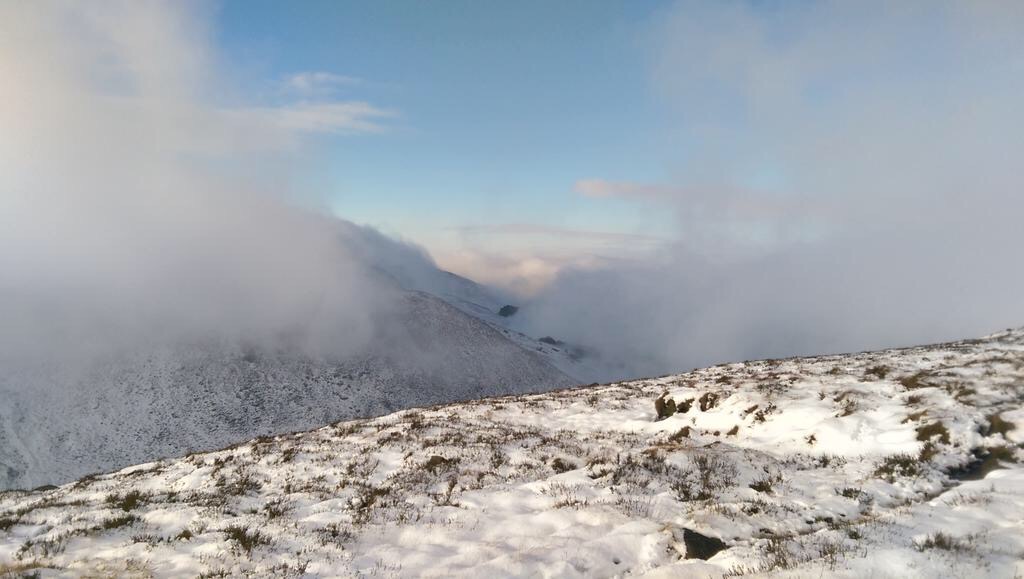
Sunshine and showers on Sunday and again the topsy-turvy weather is cold with some of the showers wintry or with hail. Highs of 6°C.
Looking ahead milder again with some rain on Monday then cooler with a breezy and showery theme. Hints at something colder after mid-month.
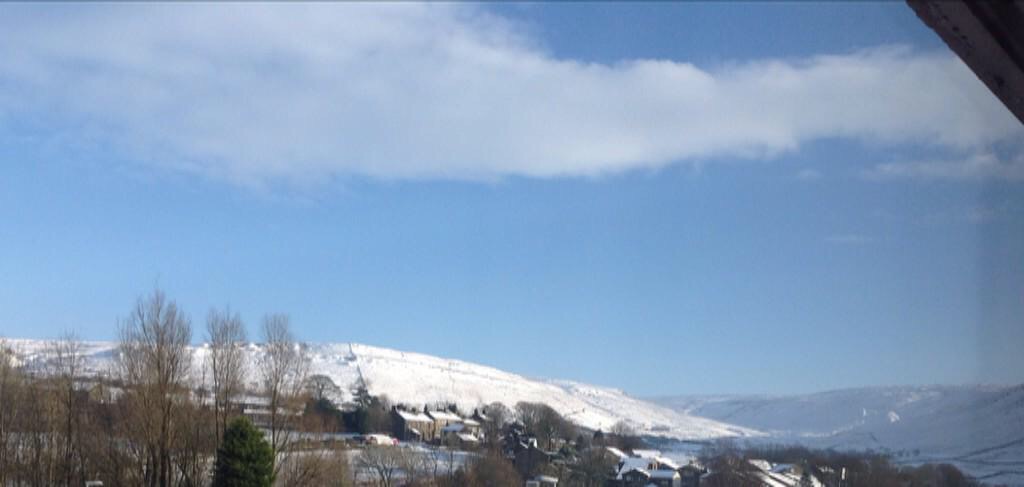
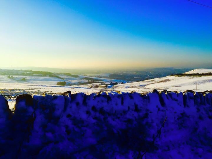
December 2014 Stats: Warmest 12.2°C; Coldest -2.6°C; Wettest 17.6mm; Windiest 45mph; Total Rainfall 164.2mm (very wet with 26 rainy days!)
Follow @ChadWeather on Twitter for your local weather updates.
Cheers
Jon