Hi all,
Really busy day today, so not much input into the weekly blog apart from a quick outlook. Good really as there is a lot of uncertainty going into the weekend so seems a bit pointless spending a lot of time trying to pin down a forecast when it’s difficult to know what’s going to happen.
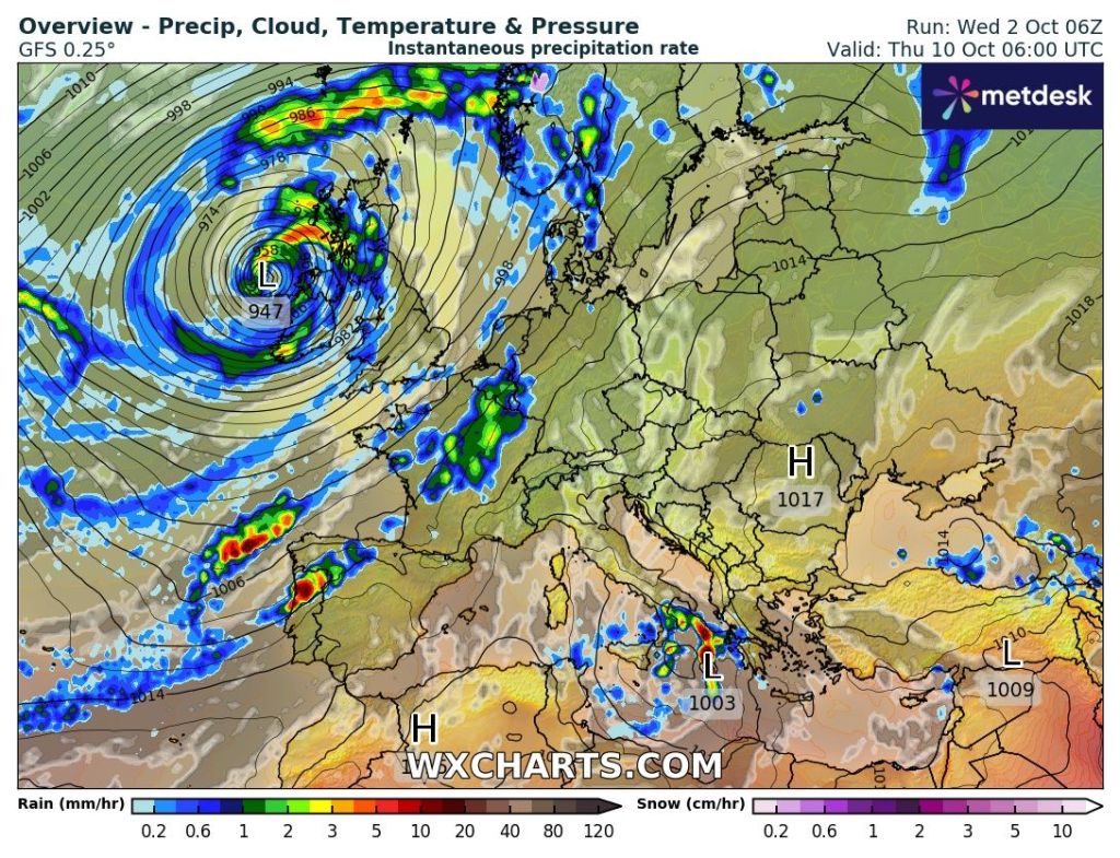
Thursday: Another dry day on the cards during daylight hours with cloud coming and going. Some bright spells and mild for the time of year but increasingly windy. Odd shower possible from the south after dark. Max 16°C Min 11°C
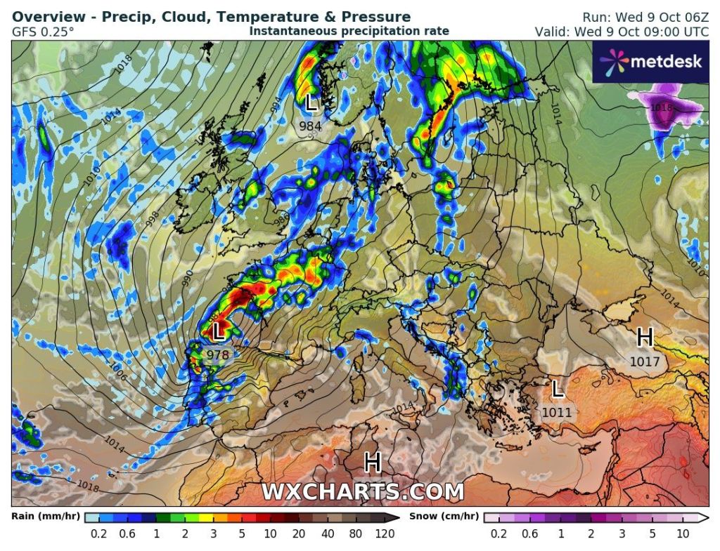
Friday: The high pressure to our southeast/east slips away which allows low pressure, albeit a bit slack to drift in from the west. Scattered showers developing during the day but a bit hit-and-miss. Not as windy but not as much brightness as Thursday. Max 16°C Min 8°C

Weekend: Uncertain forecast.
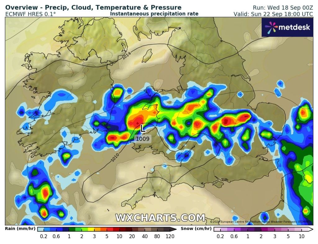
Saturday: It looks like this low pressure will end up decaying (some uncertainty but that looks favourable) leaving a legacy of cloud but mostly dry conditions. Sunny spells developing into the afternoon. Max 15°C Min 7°C.
Sunday: A bit cooler but hopefully another reasonable day with bright or sunny spells and a little cooler. Max 14°C Min 8°C
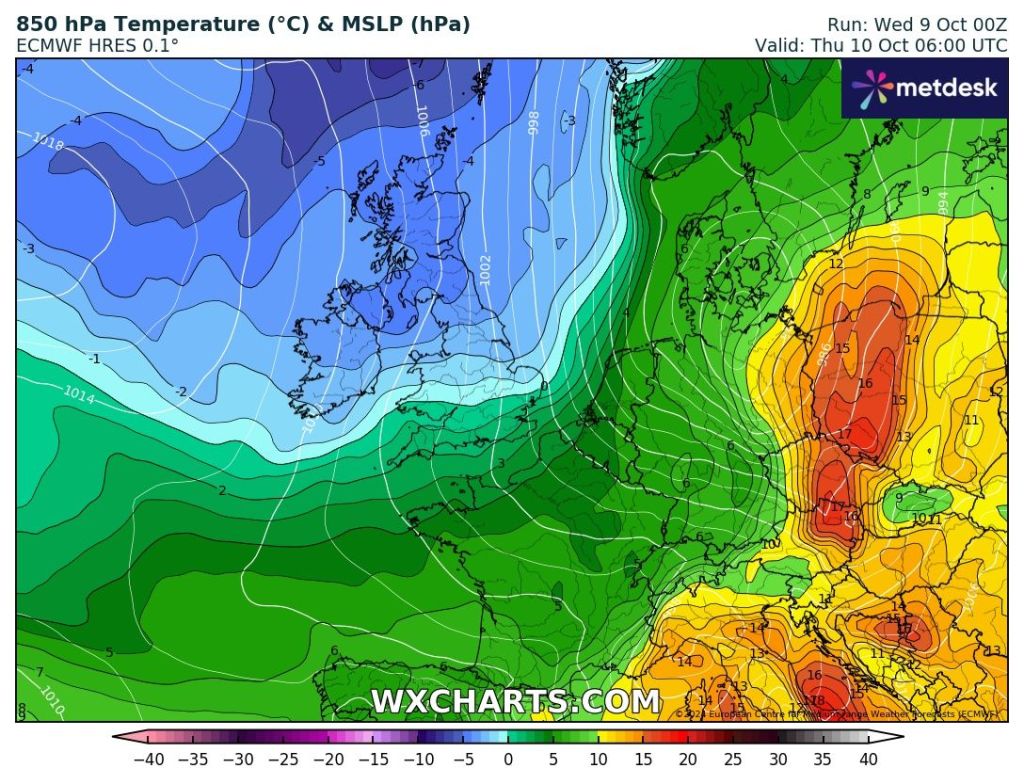
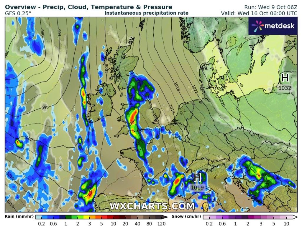
Outlook: Monday’s looking like a cloudier day as a weakening weather-front/low comes in from the west with any rain on it easing. After that it looks like high pressure builds to the SE of the UK meaning plenty of dry weather, albeit cloudy at times.
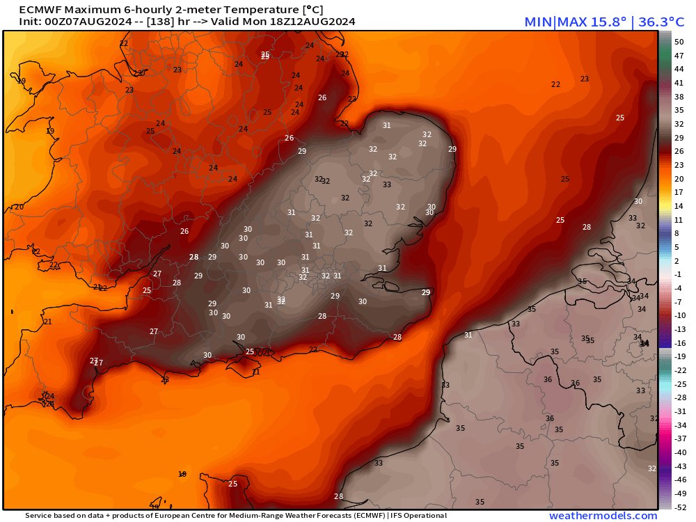
No sign of any SNOW so ignore those media clickbait nonsense stories and if anyone tells you snow is coming, set them straight.
Follow @ChadWeather on X for the latest forecasts and warnings. Thanks as always for reading.
Thanks,
Jon
Forecast Issued: Wednesday the 23rd of October 2024 at 7:45pm
Images: http://www.wxcharts.com and http://www.theweatheroutlook.com