Hi all,
The wait for a “proper cold” spell from the east remains. It’s still lurking out there and teases on the long-range forecasts, but even though it could well be cold enough for some hill-snow next week as daytime temperatures drop, there is nothing noteworthy to mention at this stage.
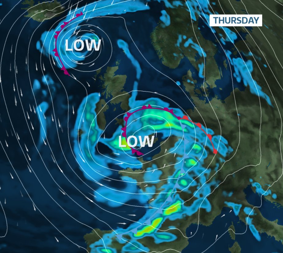
Thursday: A disappointing day with rain at times spreading up from the south and a strong and gusty southeasterly wind. Despite temperatures being above the seasonal average, it will feel cold with the wind and rain. Turning drier overnight but remaining breezy. Max 9°C Min 5°C Max Gusts 25mph
Friday: A drier day in prospect after yesterday’s rain has now moved away to the north and a low pressure system named by the Portuguese Met affects the southwest of the UK. We are sandwiched in between but it will still be a mostly cloudy day. Just drizzle here and there and again it will be windy. Max 8°C Min 4°C Max Gusts 25mph
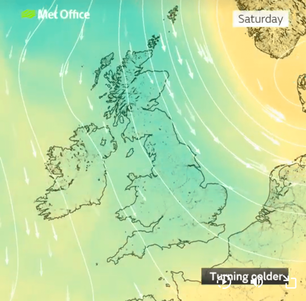
Weekend: A lack of sunshine. Turning colder.
Saturday: We will now have developed more of an easterly or even northeasterly airflow. This means temperatures will start to drop slightly and we will drag in cloud from the North Sea, perhaps thick enough at times for some drizzle again. With the lack of sunshine and still the breezy conditions it will feel cold. Max 7°C Min 3°C Max Gusts 20mph
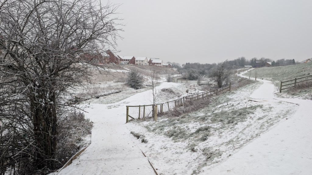
Sunday: Even colder as we head into Sunday and conditions look to be very similar, plenty of cloud, occasional pockets of drizzle, mist on the hills, and a little breezy. Hopefully winds not as strong as previous days. Certainly a chill in the air now. If we do see some clear spells overnight, there will be a patchy frost. Max 5°C Min 1°C
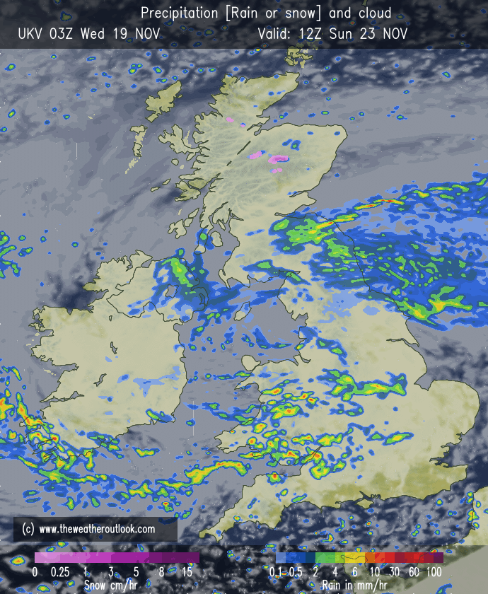
Outlook: Conditions look very similar for the first couple of days of the new working week. Cold, cloudy and although the theme will tend to be dry, there will be the odd area of drizzle again where the cloud is thick enough.
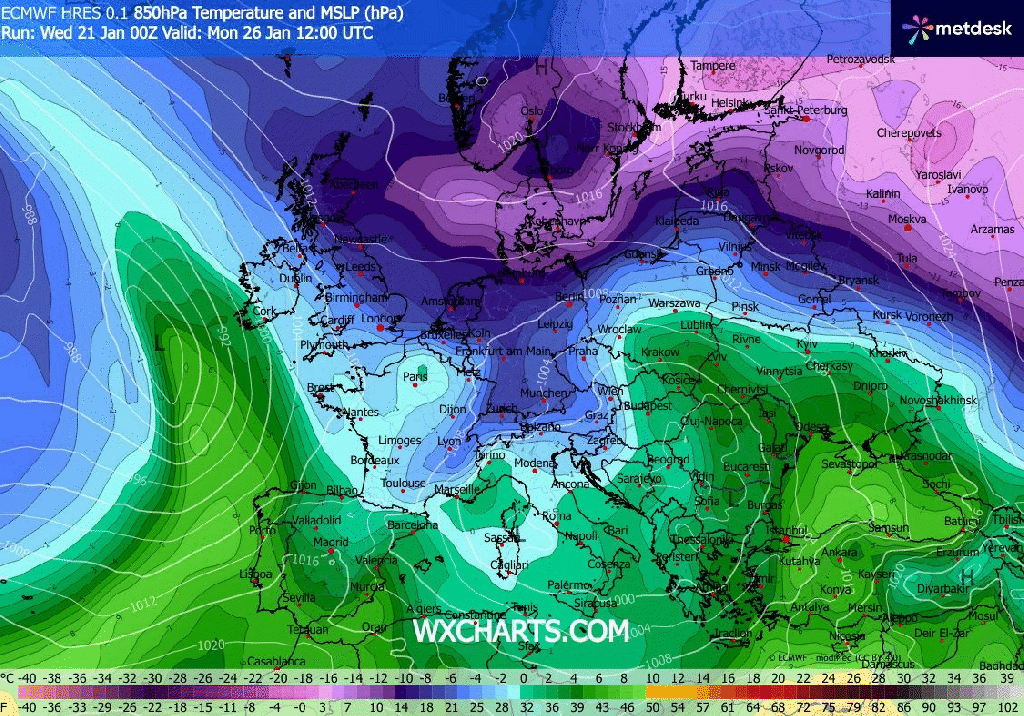
As the week progresses, the forecast becomes uncertain. It all depends where low pressure sits and where high pressure sits in and around the UK and across into Europe. The current thinking is that temperatures remain similar to Sunday’s but feeling colder due to the wind and the lack of sunshine.
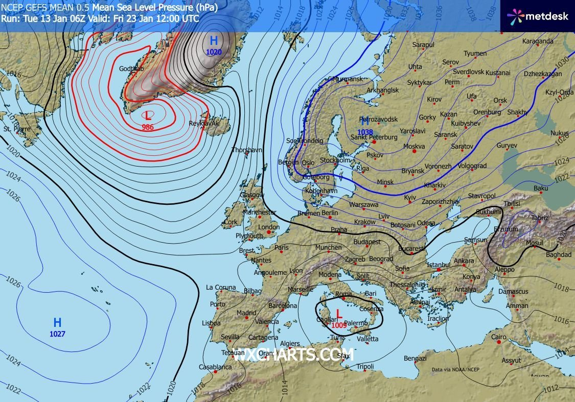
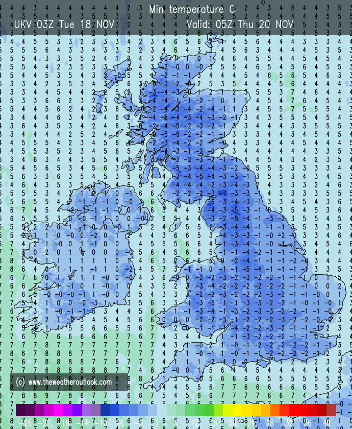
Much colder air to the east in Europe will not be too far away and depending on the setup of where the weather systems sit, we could well tap into this cold. If we do, the temperatures will drop two or three degrees further and it would be cold enough for any patchy rain or drizzle to turn to snow, especially on the hills.
So at this stage I can’t guarantee there is snow on the way next week. But what I can guarantee is, as the weekend progresses and we edge into next week colder air will arrive but at this stage it is not expected to get significantly colder and there’s even a chance milder southwesterlies return by the weekend.
As always, look out for my updates on social media. I appreciate you stopping by to read this.
Follow @ChadWeather on X and Bluesky for the latest forecasts and warnings.
Thanks,
Jon
Forecast Issued: Wednesday 21st January 2026 at 5pm.
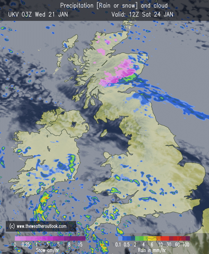
Images: http://www.wxcharts.com & http://www.theweatheroutlook.com