Hi all,
We are in the middle of a heatwave and bone dry conditions which contributed to the horrific Saddleworth Moor wildfire this week.
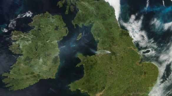
Source: Dundee University – the wildfire showed up on satellite images
So sad to see so much countryside go up in smoke and it’s horrible to think about the devastation done to the wildlife.
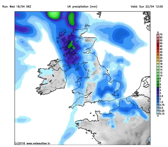
Any rain would be welcome news to help the brave firefighters with their endless job in all this heat, but there’s nothing due this week.
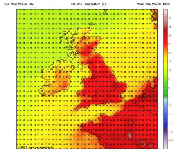
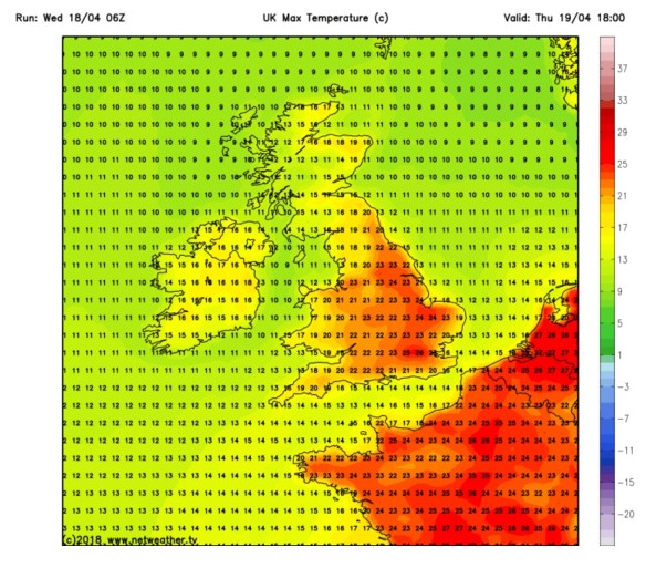
We have struggled for rain over the last 2 months and with no rain expected in June we can confirm the monthly stats.
In May we only received 56% of the average monthly rainfall. In June only 19%. We need rain.
Throughout the forecast the UV levels are HIGH at 8, so remember sun-cream or you will burn very easily.
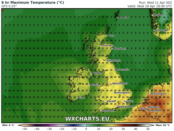
Thursday: Hot and sunny. Again, if you’re experiencing smoke from the wildfire then it will be hazy at times. Max 28°C
Friday: No change. Hot with widespread sunshine. With an easterly breeze bringing some relief from the heat. Max 27°C
Weekend: The heatwave continues. More BBQs and beer gardens to be had.
Saturday: Perhaps a little less hot with a keen easterly breeze. Plenty of sunshine. Max 25°C
Sunday: I sound like a broken record. Hot and sunny. Max 27°C
Outlook: The start of the working week will remain hot and sunny. It will start to become more humid which will make it feel muggy and uncomfortable to sleep at night. There were signs a few days ago that rain would arrive in the early hours of Monday morning but this now seems to stay away to our southwest. At the moment low pressure does look to move up from the south midweek and with it the chance of rain via hefty showers or thunderstorms. Temperatures will drop to the early 20s but with it the humid air will remain. Later in the week, towards next weekend, sees westerly winds return so turning fresher.
Follow @ChadWeather on Twitter for the latest forecasts.
Thanks,
Jon
Forecast issued: Wednesday the 27th of June at 4:15pm.
Image: Dundee University