
Hi all,
Winter has gone, meteorologically-speaking of course, but we all know we tend to see snow in March at some point, so don’t unpack the garden furniture just yet. Speaking of snow, there could be some overnight on Wednesday with up to 7cm possible above 300M. See Twitter for updates.
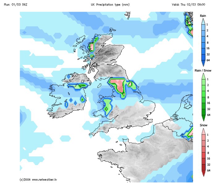
Rain likely to turn to snow Wednesday night.
Thursday: Cloudy with rain, sleet and snow during the morning. Drier into the afternoon with some brightness. Breezy too making it feel cold. Some more rain late-evening. Max 7°C
Friday: Some drier, bright spells during the day, but later cloud will thicken with a risk of more rain coming up from the southwest. A cold breeze. Max 7°C
Saturday: A messy picture on Saturday as low pressure from the south swings up another weather front which could stall over the region bringing a wet day with rain at times. There is some uncertainty how far north it gets so watch for updates on my Twitter, @ChadWeather. Max 6°C
Sunday: I’m hoping a little ridge of high pressure builds for Sunday so we have a drier day with some brightness. Temperatures remaining similar values. Max 7°C
Looking ahead: Temperatures around average, bright spells but also a lot of cloud which will limit the frost-risk. Some showers.
February 2017 Stats
Max 13.1°C (20th)
Min -0.1°C (28th)
Wettest 18.8mm (23rd)
Windiest 49mph (23rd)
Rain 101.8mm (above average)
Rainy Days 23
Dry Days 5
Snow Falling Days 4
Snow Lying Days 1
Thanks,
Jon
Image: http://www.netweather.tv
Forecast Issued: Wednesday 1st of March at 2pm
