
Hi all,
Apologies for no weekly blog over the last two weeks. A busy schedule meant time was limited. I’m back this week with a full 4-day forecast and an outlook after a very wet and miserable Wednesday.
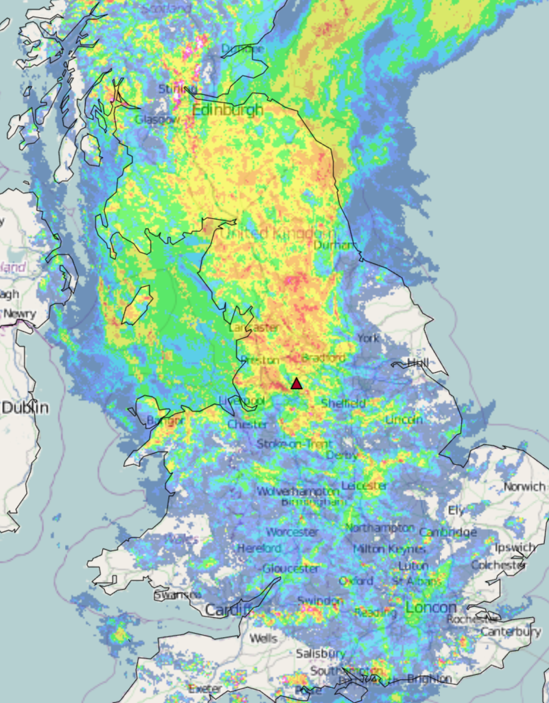
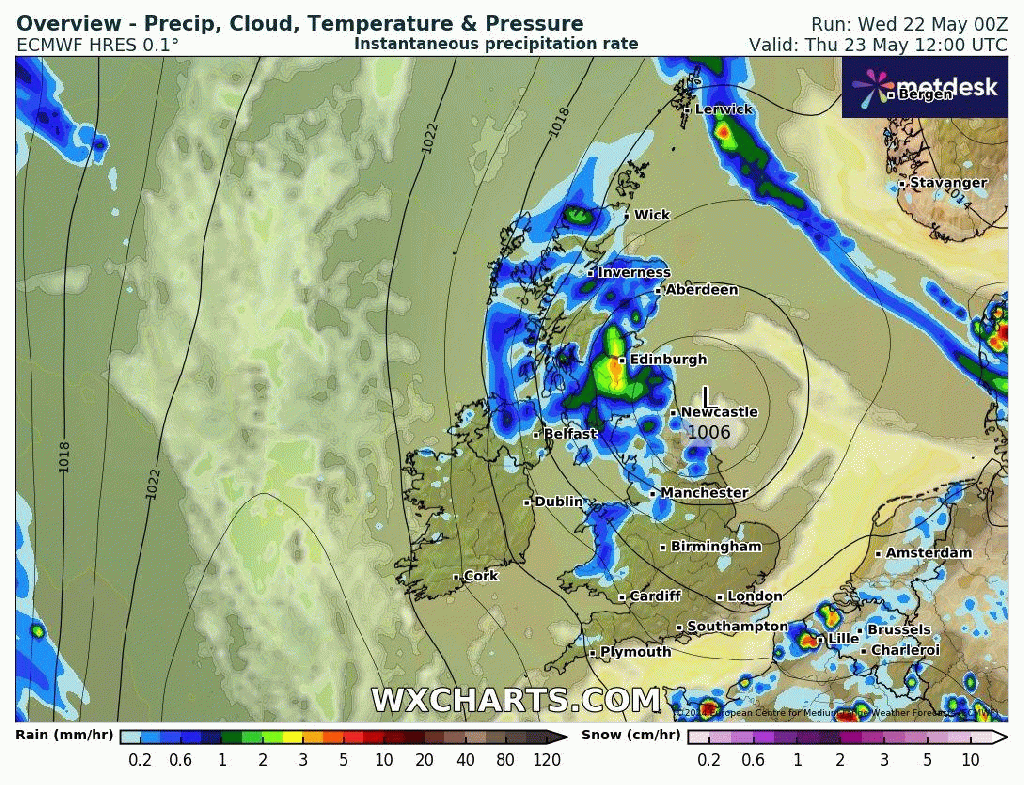
Thursday: The low pressure responsible for Wednesday’s deluge will still be anchored across the UK and this will continue to bring spells of rain throughout the day. It will become patchier into the evening and it will be breezier than recently. Max 13°C Min 11°C
Friday: The low beings to fill but it will still mean a disappointing day with mostly cloudy skies and some showers at times. Muggy with lighter winds. Brighter spells later on are possible. Max 15°C Min 10°C
Weekend: Much warmer but still showery.
Saturday: Sunny spells and with only the outside chance of a shower as cloud bubbles during the day, it’s a much-improved day. Feeling much warmer too. Max 20°C Min 13°C
Sunday: A weakening weather-front will mean a cloudier Sunday looks likely with bright spells and some heavy showers, which could be thundery. Max 18°C Min 10°C
Bank Holiday Monday: A ridge of high pressure will mean a day of warm sunny spells developing after early showers decay. Max 18°C Min 11°C
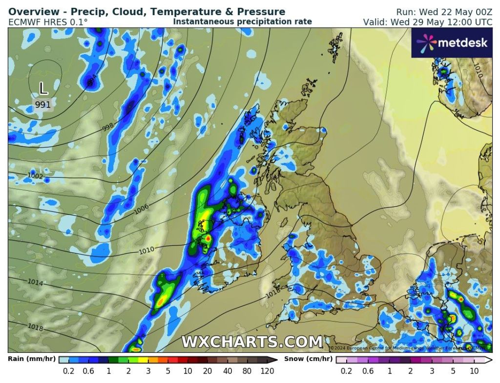
Outlook: A ridge of high pressure means it doesn’t stay around for long, so back to a theme of sunshine and showers with perhaps some longer spells of rain at times, especially after Tuesday. It will be a west or southwesterly air-flow so remaining on the average side in terms of temperature and a little humid at times.
Follow @ChadWeather on X for the latest forecasts and warnings.
Thanks,
Jon
Forecast Issued: Wednesday the 22nd of May 2024 at 5:37pm.
Images: http://www.wxcharts.com & Netweather Radar.
