Hi all,
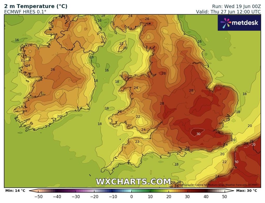
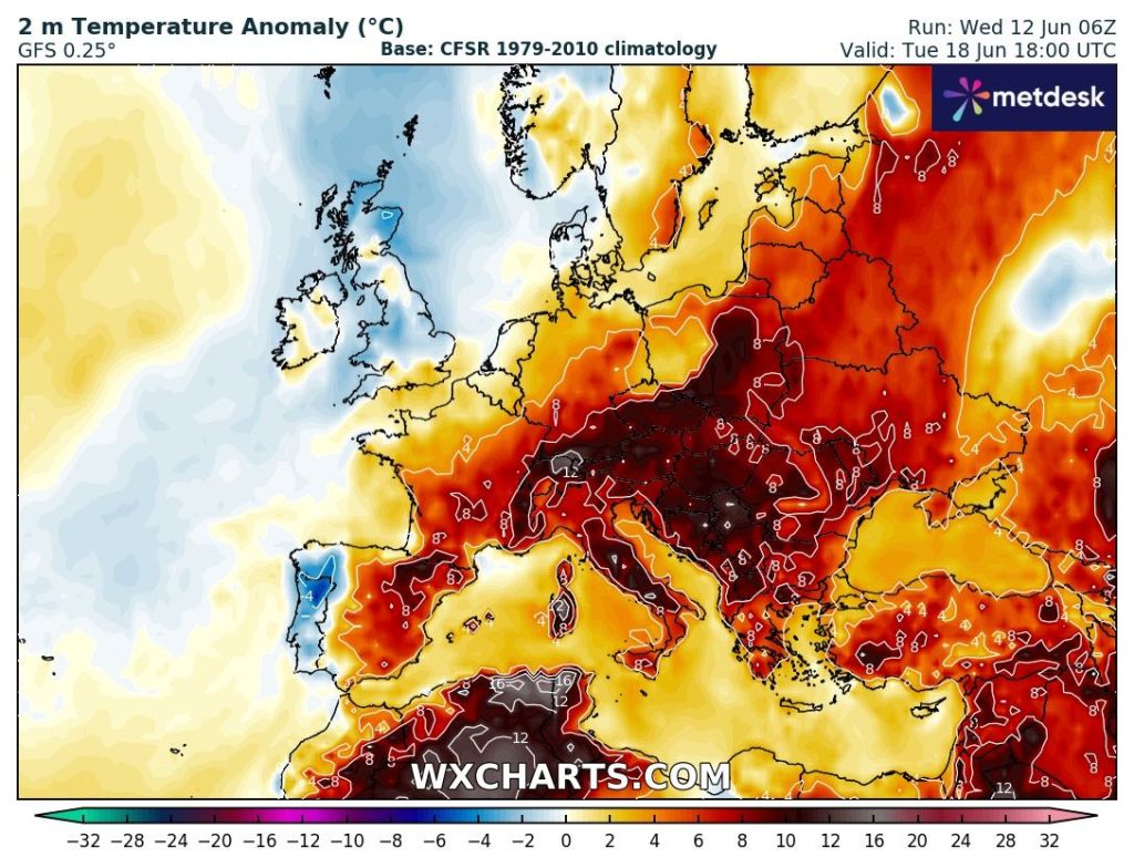
Well summer finally arrived but not exactly wall-to-wall sunshine, but instead sunny spells, dry, very warm and humid conditions.
It took a while but finally we had a day in June that was warmer than the warmest day in May.
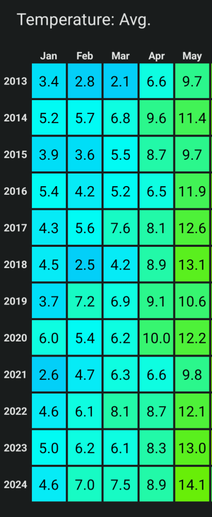
After a cool June for most of the month, the averages for May and June are now close. June’s average was running well below May until this recent summery spell.
What has also been noticeable, if you’ve done your garden recently; is that it is drying out somewhat.
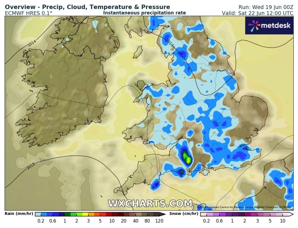
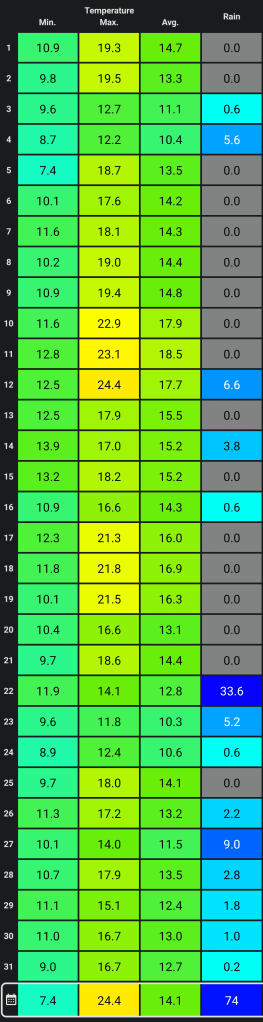
Currently June has only had 50% of its expected monthly rainfall. Some areas down in the southeast of England are sitting at only 10%. Currently it’s a 50/50 split with 13 days dry and 13 days with measurable rainfall.
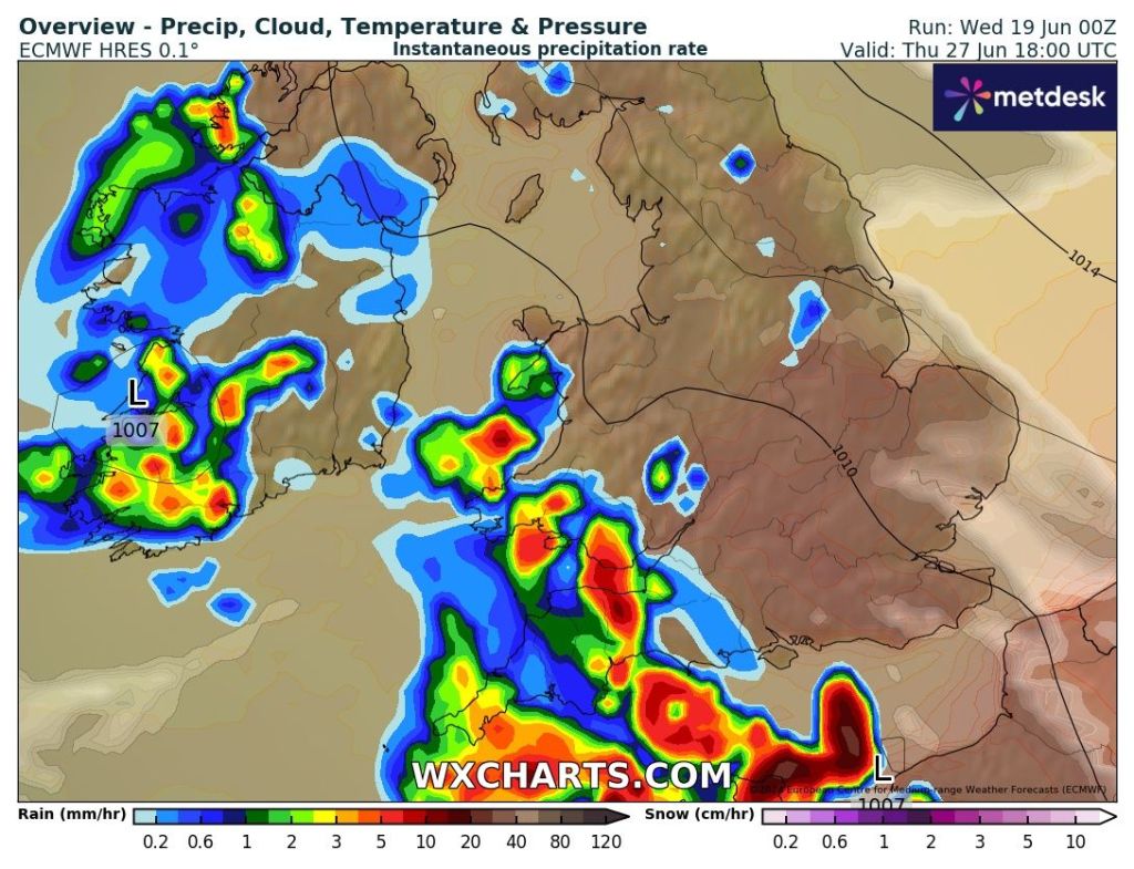
But, cooler and fresher air is on the way as an area of low pressure, bringing gales to NW Scotland, pushes away the heat and humidity through Thursday.

Thursday: The cooler air will arrive Thursday morning as a weakening cold-front moves through. The day will start with a narrow band of patchy rain followed by sunshine. Sunny spells continue but some showers are possible, especially out west later in the day, most likely in the evening. Much cooler and fresher and turning windier later. Max 20°C Min 12°C
Friday: After a few early showers and perhaps a longer spell of rain, the showers will ease and the afternoon should be an improving picture with sunny spells developing. Windy though and this will make it feel like the mid-teens as temperatures return to below the average. Max 17°C Min 11°C
Weekend: Temperatures below par.
Saturday: It’s expected to be cloudy with some splashes of rain here and there. Not as windy as recently so not feeling as cool. Max 18°C Min 10°C
Sunday: Sunday looks a fine day and hopefully a dry day. Sunny spells for the morning with cloud bubbling up during the day. Breezier again and temperatures disappointing. Max 17°C Min 12°C
Outlook: Poor for the time of year. Mostly cloudy at times with some showers and bright spells in between. Since the sun is strong, it will still feel pleasant where sunny spells occur. It will be occasionally windy and with the wind coming from a westerly or even northwesterly direction at times, temperatures will be below average with us struggling to reach 20°C. This pattern looks set to continue for the first week of July. Cue the, “that’s summer over” quotes.
Follow @ChadWeather on X for the latest forecasts and warnings.
Thanks,
Jon
Forecast Issued: Wednesday the 26th of June 2024 at 3:05pm.
Images: http://www.wxcharts.com