
Hi all,
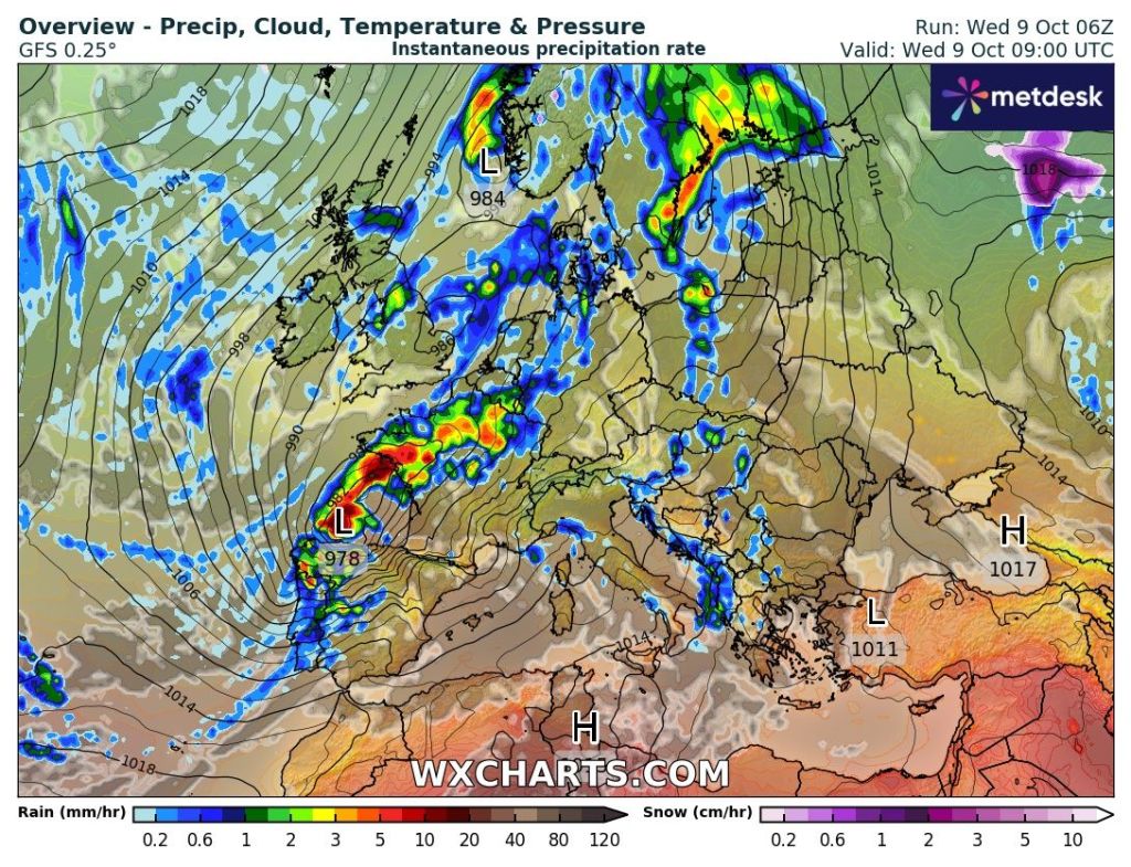
It’s been a wet one today, much wetter in places than was forecast. Some areas seeing nearly an inch of rain falling in the first 12 hours of Wednesday. Good news, drier but colder weather is on the way.
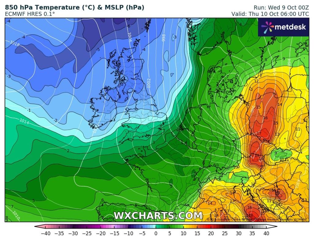
Thursday: There could well be a cloudy start but this will soon clear to the south as brighter skies filter down from the north with colder air. A decent day in prospect, although fresh, especially in the breeze with plenty of sunny spells into the afternoon. Overnight we can expect a localised ground-frost. Max 11°C Min 2°C
Friday: Some localised mist and the ground-frost to start, then a day of sunny spells with a bit of cloud bubbling up at times. Low chance of a shower. Cold in the wind which will be gusty. Max 12°C Min 3°C
Weekend: Risk of showers but plenty of drier weather.
Saturday: Chilly and windy with bright spells and a few showers brewing. Max 12°C Min 2°C
Sunday: I do think there’s a chance of a few showers. Otherwise another cool day. Quite breezy but plenty of dry weather knocking around with sunny spells. Not as cold overnight. Max 12°C Min 6°C
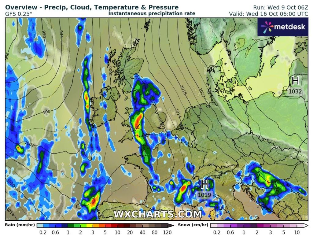
Outlook: High pressure close by at first, which should bring mostly dry conditions with some sunshine. Temperatures will pick up a little as well, making their way back into the mid-teens. From midweek it looks like rain-bearing clouds will return from the west.
Follow @ChadWeather on X for the latest forecasts and warnings.
Thanks,
Jon
Forecast Issued: Wednesday the 9th of October 2024 at 5:32pm.
Images: http://www.wxcharts.com
