
Hi all,
More anticyclonic gloom this week but at least this time it won’t last that long. That said, after a slight change over the weekend, we could well be back to overcast skies next week until the Atlantic returns bringing more unsettled weather. As we approach the festivities we could well see some colder air come down from the north.
Thursday: Very similar to recent days. Cloudy skies and perhaps thick enough for some hill-drizzle. Otherwise, mostly light winds, dull and dry. No frost due to cloud-cover. Max 7°C Min 3°C
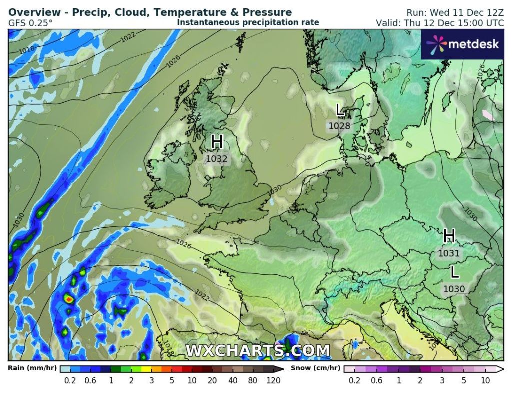
Friday: A bit of rinse and repeat. Overcast. Perhaps the odd splash of rain and winds turning southwesterly later. Max 8°C Min 3°C
Weekend: Turning milder.
Saturday: Early cloud and patchy rain will sink southeastwards with bright spells following on behind. Cloudy late-evening. Breezy. Max 8°C Min 6°C
Sunday: Milder with plenty of cloud and reasonably windy. Misty on the hills. Max 12°C Min 7°C
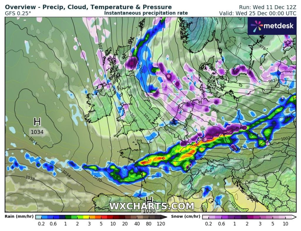
Outlook: Monday/Tuesday look mostly dry, windy and cloudy. Temperatures just creeping into double-figures. It is then expected to turn more unsettled later in the week. As we approach Christmas the long-range forecast suggests slightly colder with plenty of wintry showers. Don’t rule out a snowflake falling on the 25th just yet.
Follow @ChadWeather on X and Bluesky for the latest forecasts and warnings.
Thanks,
Jon
Images: http://www.wxcharts.com
Forecast Issued: Wednesday 11th December 2024 at 9:05pm
