
Hi all,
High pressure is close by this week, so controlling our weather, but with light winds and at this time of the year this can bring stubborn cloud or fog but also depending on your position relevant to the high, sunny spells.
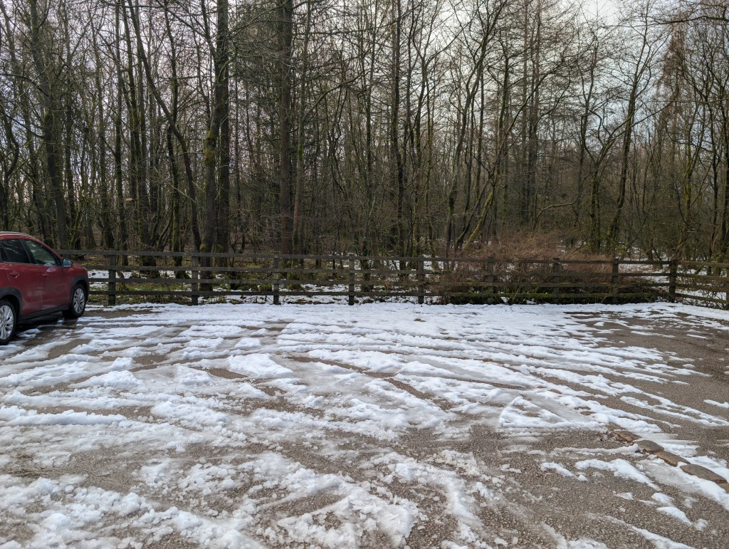
The weather has settled down recently after a lengthy cold and snowy spell. It will snow again this winter no doubt and be very cold but I bet we don’t see a week of cold and snow again this winter, even though the long range weather models are predicting a very cold spell. Those spells seem to be getting more rare these days.
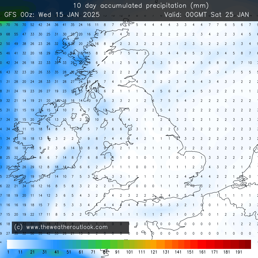
For the here and now, more fog has been around these past 24-36 hours but this should shift as the breeze picks up and drier air arrives. And, with the stubborn cloud to our southeast and rain-bearing clouds to our far northwest; it looks like we will see some decent sunny spells for a day or two. Enjoy it if you manage to get out and about.
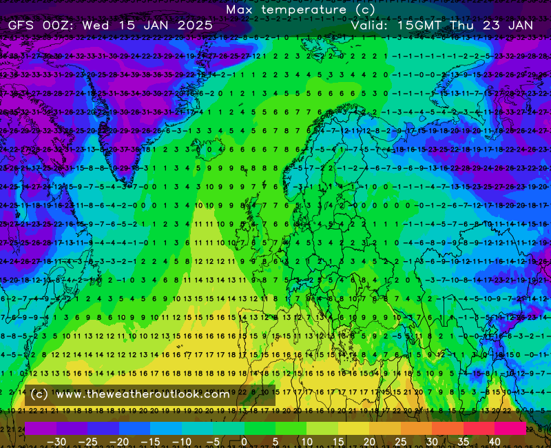
Thursday: A cold start with a widespread ground-frost and an air-frost in places. Plenty of mid-winter sunny spells on offer and feeling pleasant in the sun. Cloud will increase into the evening and the southerly breeze will pick up so the night will be frost-free. Max 7°C Min 3°C
Friday: Looks like a mostly cloudy day with some breaks. Clear spells overnight leading to a cold one. Max 8°C Min 1°C
Weekend: Colder.
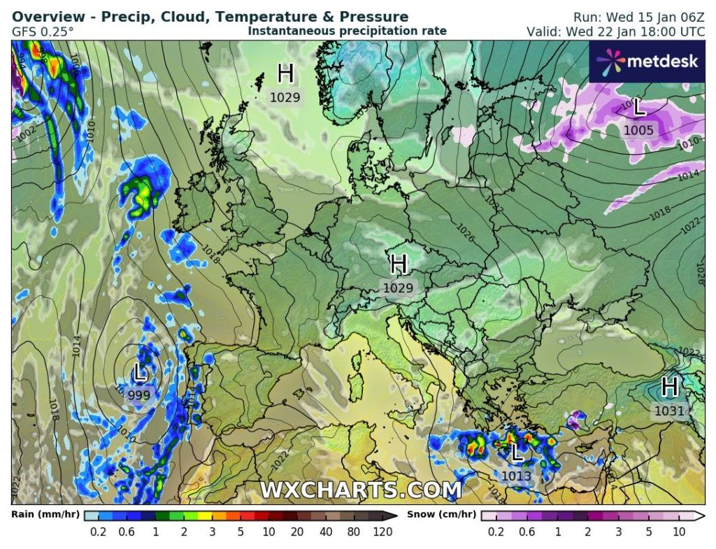
Saturday: We drag in colder air from the near continent. After a cloudy start sunny spells should break through. Breezy. Max 5°C Min 0°C
Sunday: A few bright spells for the morning but the general thinking is that a weakening weather-front moves in from the west with very little or no rain on it at all. Cold. Max 4°C Min 1°C
Outlook: After that weak weather-front decays another high pressure builds in, so a bit of a repeat of what we are seeing this week. Plenty of dry conditions, some bright spells but some low-cloud coupled with foggy days can’t be ruled out. Towards the end of the week it currently looks favourable for the Atlantic to return, so spells of wind and rain. Of course this far out, nothing is certain and some models go the opposite with much colder air filtering in from the east. The battle of mild vs. cold could well be on.
Thanks for reading and follow @ChadWeather on X and Bluesky for the latest forecasts and warnings.
Thanks,
Jon
Forecast Issued: Wednesday the 15th of January 2025 at 10:50am.
Images: http://www.wxcharts.com & http://www.theweatheroutlook.com and snow melting in the Clough Head Café car park.
