
Hi all,
It was a wet and wild weekly blog last week but even after two more named-storms in the Atlantic since then, we haven’t seen any disruptive weather like other parts of the UK have experienced. Some parts of Ireland are still without power after Storm Éowyn.
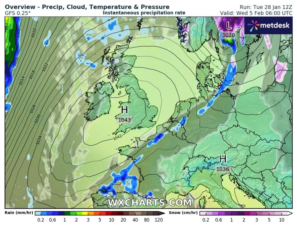
Not much happening over the coming days. A mixture of some reasonable days with bright or sunny spells and equally some cloudy days. The latter will be when weather-fronts are coming through the region but weakening all the while as it comes up against high pressure which will have developed over continental Europe. Nothing significantly cold, very snowy or very wet in the next 7 days.
Thursday: A widespread frost to start, although there’s a chance of some cloud bringing a light shower out west, then a decent day with sunny spells, perhaps turning hazy later. That sun is starting to get some warmth in it now and we should start to record UV levels very soon. Breezy later and cloud thickening overnight means another frost is unlikely. Max 7°C Min 1°C
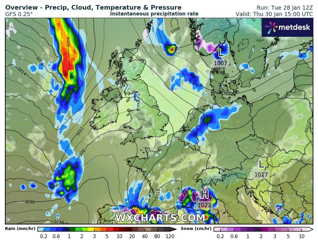
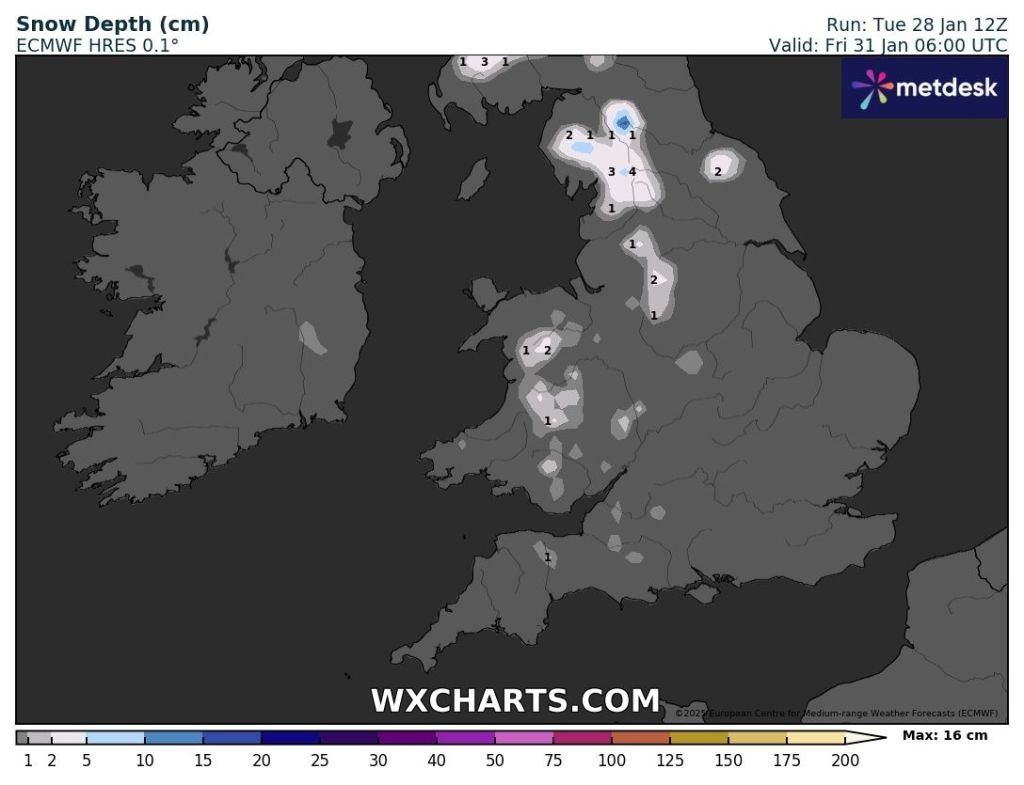
Friday: Cloudy and breezy to start after rain during the early hours (wintry on the tops with the chance of a dusting of snow in places) eases away. Bright spells follow, eventually, and winds will ease. Still chilly but nothing particularly cold. Max 7°C Min 2°C
Weekend: Mostly dry but risk of mist.
Saturday: A misty start and this could lift into low-cloud in places which will struggle to clear. Other places seeing bright spells. Dry. Max 7°C Min 3°C
Sunday: Cloudier but I’m hopeful it will be another dry day during daylight hours, with limited brightness even though a weather-front will come in from the west, it is likely to decay. Possible hill-drizzle towards evening. Temperatures similar. Max 7°C Min 2°C
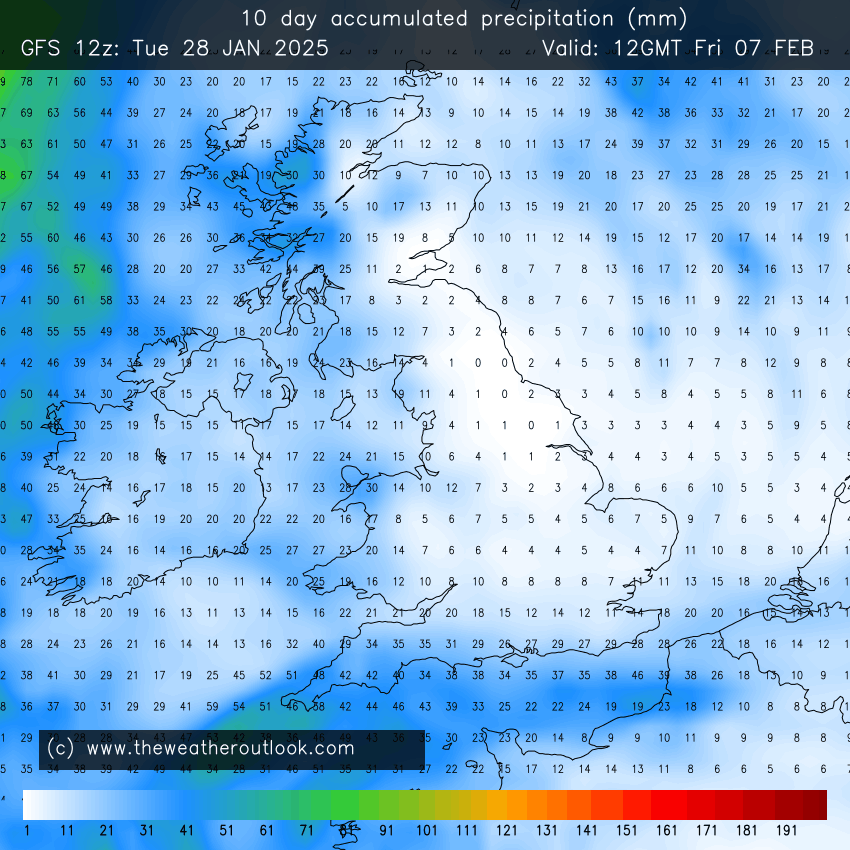
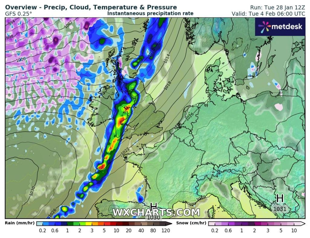
Outlook: Looks like high pressure will be the most dominant of weather but some weakening weather-fronts will sink southeast bringing patchy rain. No sign of anything significantly cold just yet but some models hint at an easterly as we enter the second week of February. Believe it when I see it.
Follow @ChadWeather on X and Bluesky for the latest forecasts and warnings.
Thanks,
Jon
Forecast Issued: Wednesday the 29th of January 2025 at 4:41pm.
Images: http://www.wxcharts.com & theweatheroutlook.com
