
Hi all,
After the events of this week, it’s just a short blog with some quick highlights of the coming week’s weather.
I’ll try and do a few more posts on X and Bluesky to keep you updated on the change to more unsettled weather but milder conditions.
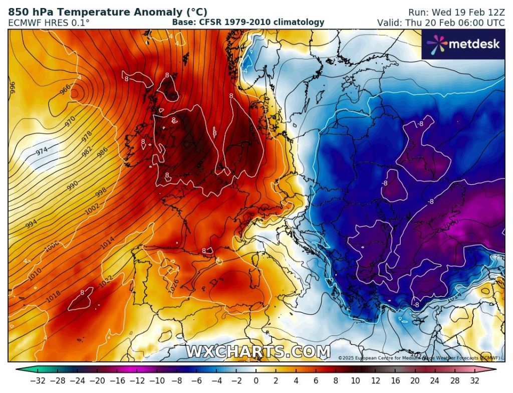
I bet most are glad it’s turning less cold, and that the biting wind is going. Looks like Thursday and Friday will see temperatures reach values that we’ve not seen for two months. Who’s ready for Spring? I know I am.
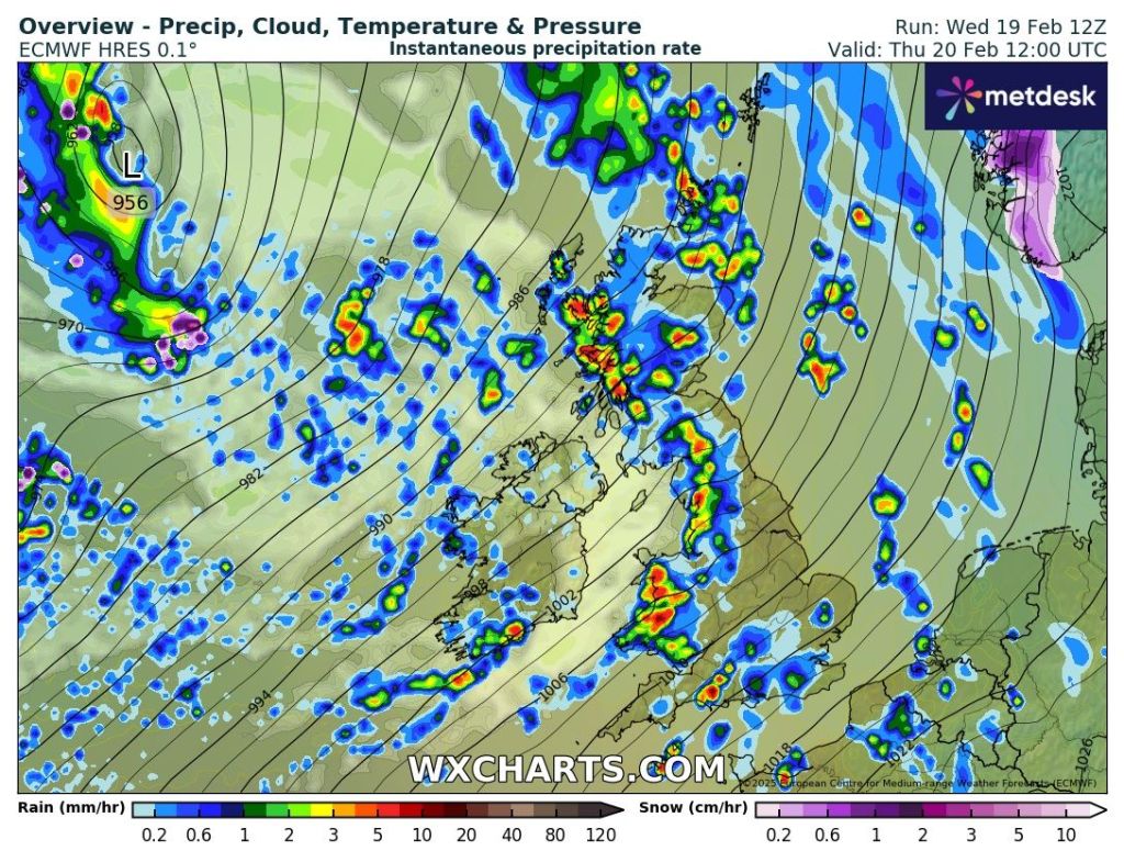
Thursday: Much milder air has arrived and with it some strong and gusty winds at times. We will see some bands of showery rain move through, with the chance of some thunder & lightning. Later in the day brighter skies and a few showers will come in from the southwest. Very mild but the edge taken off the temperatures due to the strength of the wind. Max 14°C Min 9°C Max Gusts 35-40mph
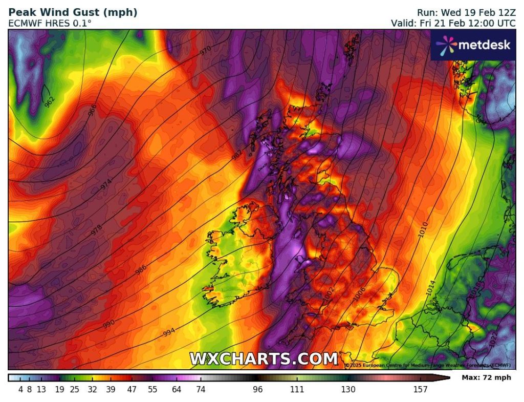
Friday: Similar with rain at times, some heavy after a bright start. Very windy with a strong southerly. Mild once again but cooler overnight. Max 13°C Min 6°C Max Gusts 40-45mph
Weekend: Saturday looks best.
Saturday: A brief ridge of high pressure will give a better day. Sunny spells, odd shower and not as windy. Max 11°C Min 6°C Max Gusts 20mph
Sunday: Another weather-front with strong winds and periods of rain. Max 11°C Min 6°C Max Gusts 40-45mph
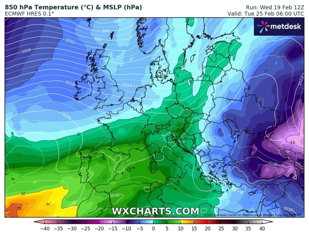
Outlook: Cooler and still unsettled with bright spells and showers. Occasionally windy.
Follow @ChadWeather on X and Bluesky for the latest forecasts and warnings.
Thanks,
Jon
Forecast Issued: Wednesday 19th February 2025 at 8:47pm
Images: http://www.wxcharts.com
