Hi all,
March is not far off coming to a close and the first month of Spring has been dry. Much drier-than-average. Even so, recent rain has been welcomed by the gardens.
Even with rain arriving into Friday, I’m expecting March 2025 to be the driest March I’ve ever recorded. Data started in 2013.
I have a feeling it’s going to be a warm and humid summer with reasonably-high thundery activity. We shall see.
Thursday: After a cloudy start and with high pressure still in charge we can expect some sunny spells. It’ll feel pleasant in any brightness but it will tend to cloud over later in the day and it will be a windy one later with gusts to 30mph. A band of rain will sink southeast overnight. Max 15°C Min 6°C Gusts 30mph

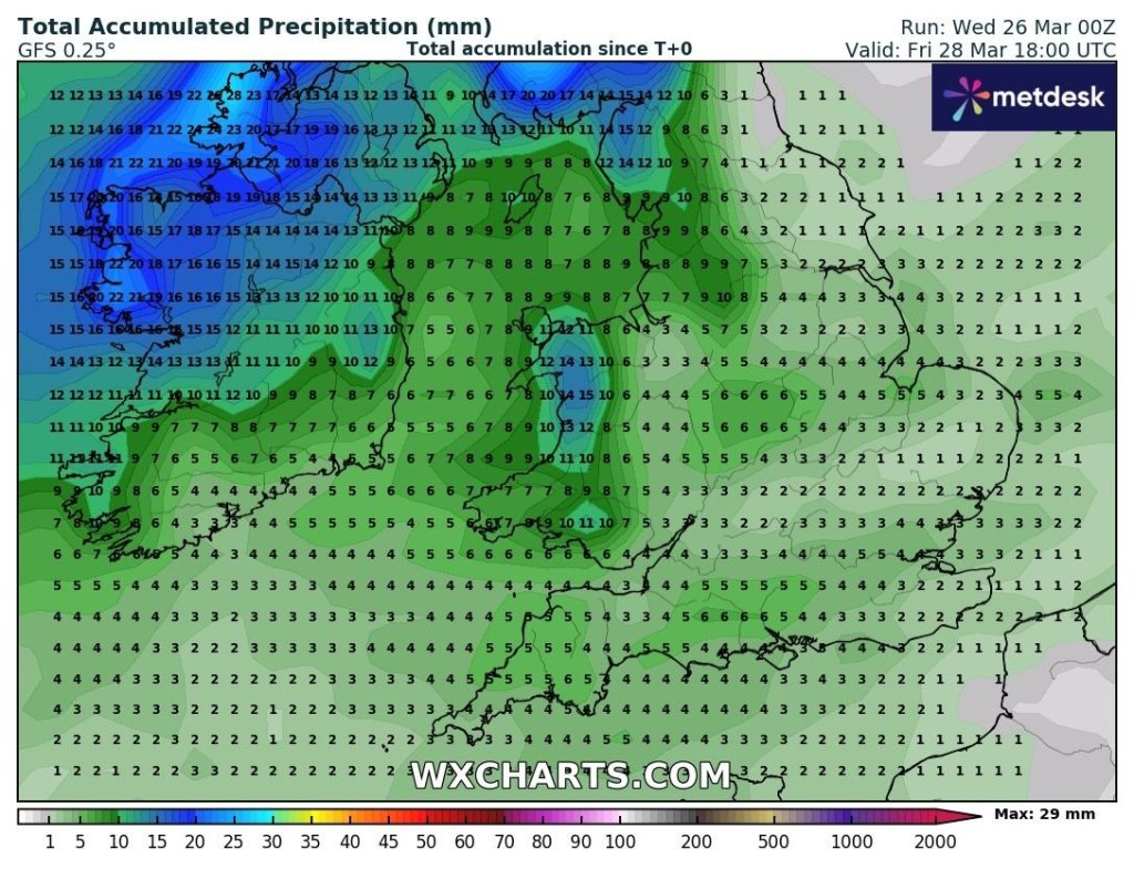
Friday: Any early rain will push away and introduce colder air as the winds swing to more of a northwesterly direction. It will then be a day of bright or sunny spells and some blustery showers which could well produce some hail and perhaps some thunder and lightning. Feeling cold especially in the wind and temperatures will just struggle to double figures. Risk of frost overnight. Max 11°C Min 1°C Gusts 30mph
Weekend: High pressure returns eventually.
Saturday: Still windy with a weak weather-front coming through the region bringing the odd shower or two. Temperatures up a little. Max 12°C Min 5°C Gusts 25mph
Sunday: It’s looking better for Mother’s Day albeit breezy. Dry, as high pressure builds back in and some pleasant sunny spells. Just the wind taking the edge off the temperature but it will be warmer. Max 16°C Min 5°C Gusts 20mph

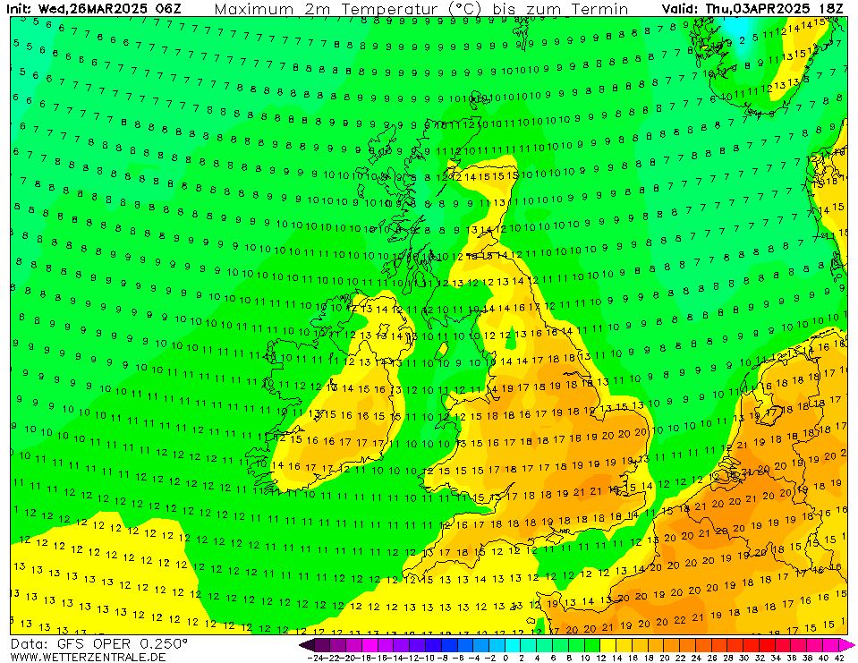
Outlook: There have been some ups and downs regarding next week; but there now seems to be more of an agreement that it will be nice with high pressure in charge. So cool nights but pleasantly warm by day with sunny spells and fair-weather cloud. Some models predict a waft of warm air coming up from the south and if we keep a southerly or southeasterly airflow we could see temperatures approaching the 20°C mark. Look out for updates on social media.

Follow @ChadWeather on X and Bluesky for the latest forecasts and warnings.
Thanks,
Jon
Forecast Issued: Wednesday 26th March 2025 at 6:41pm.
Images: http://www.wxcharts.com & http://www.wetterzentrale.de
