Hi all,
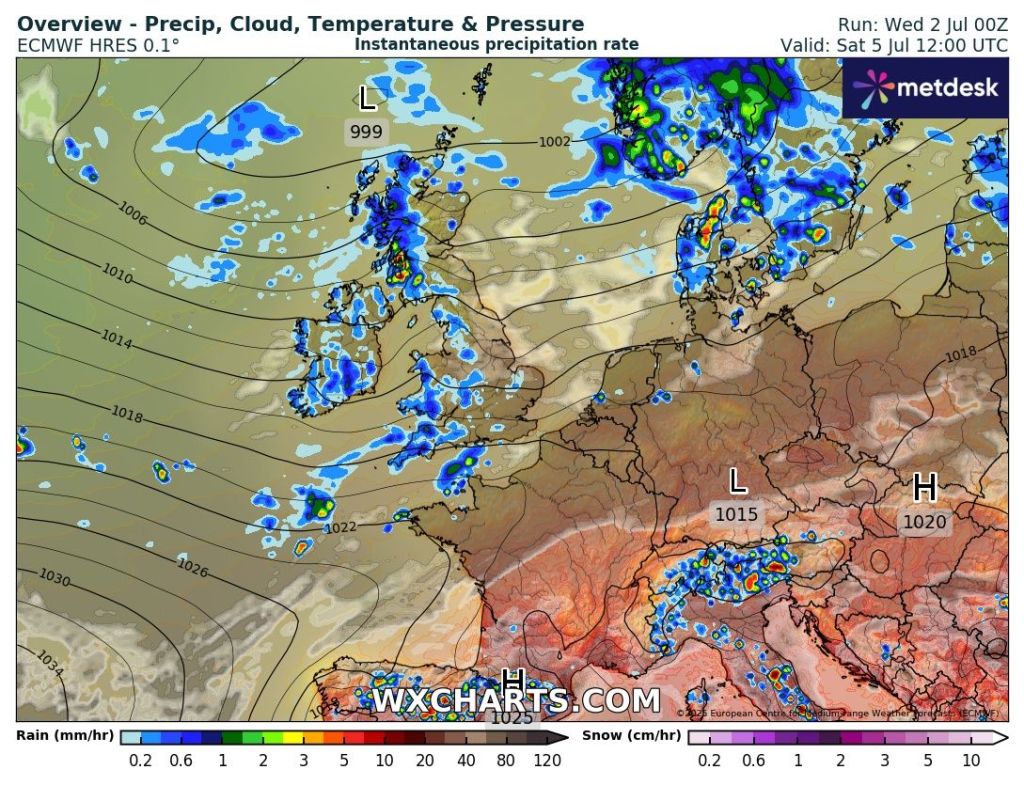
After a few days with patchy rain and some showers, the week ahead continues in a similar theme with no heatwave returning just yet. Best day of the weekend looks like Saturday.
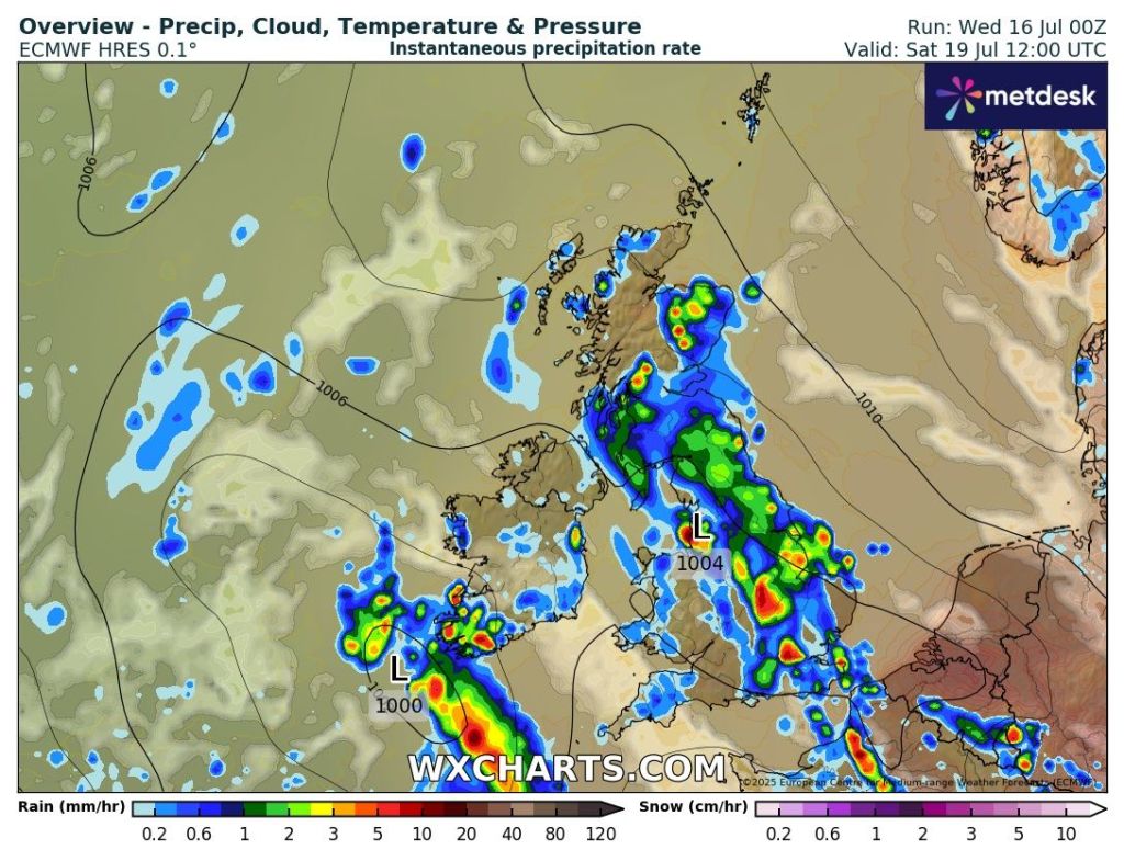
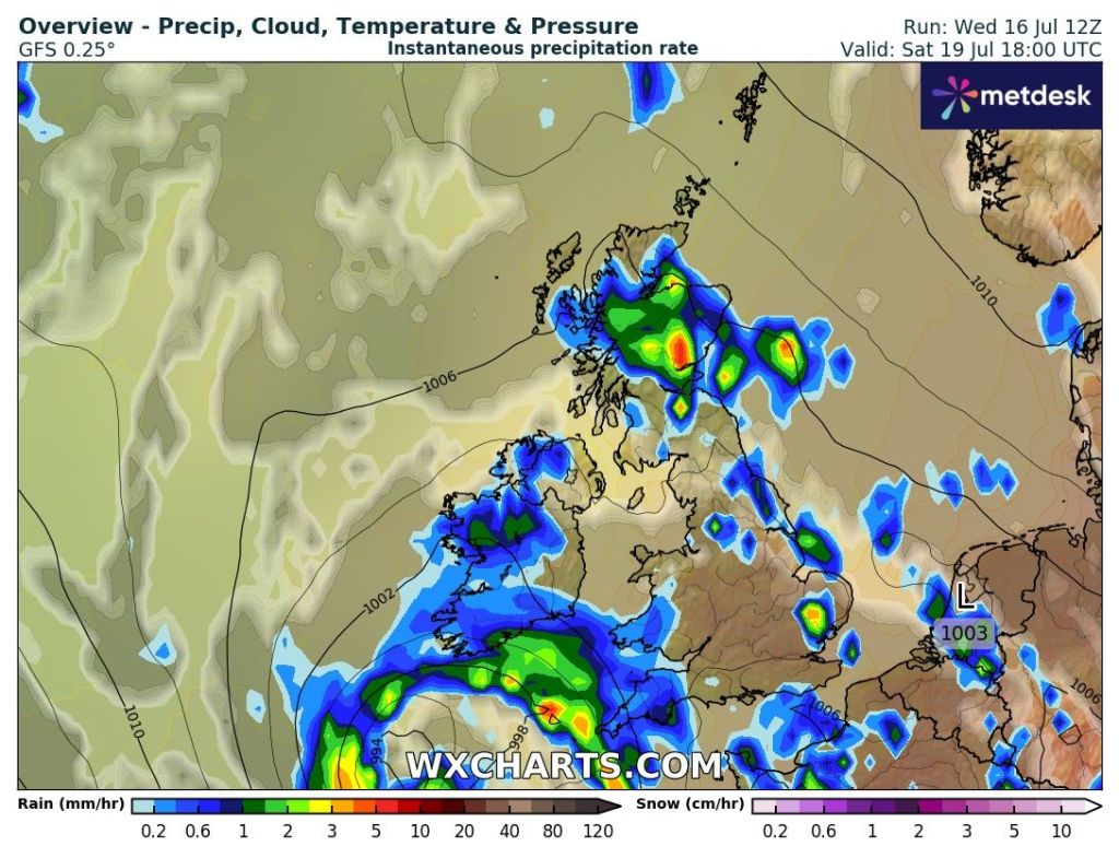
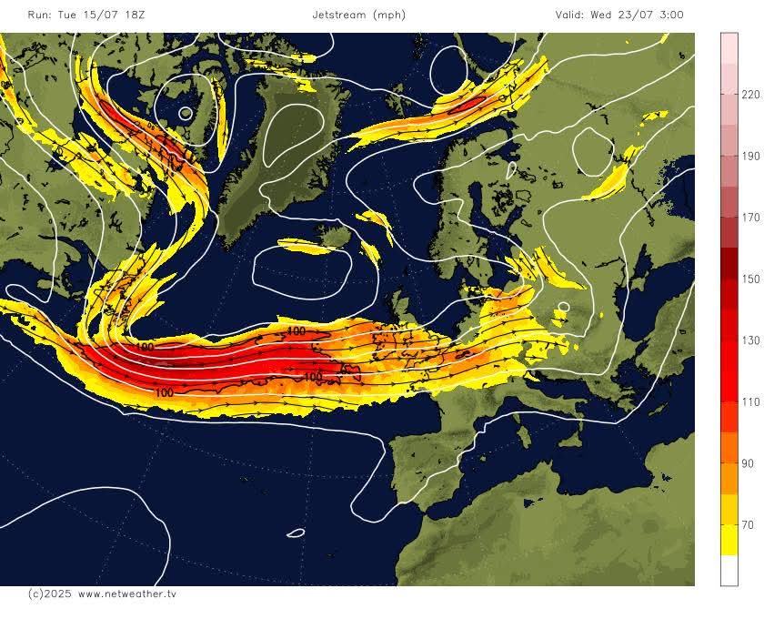
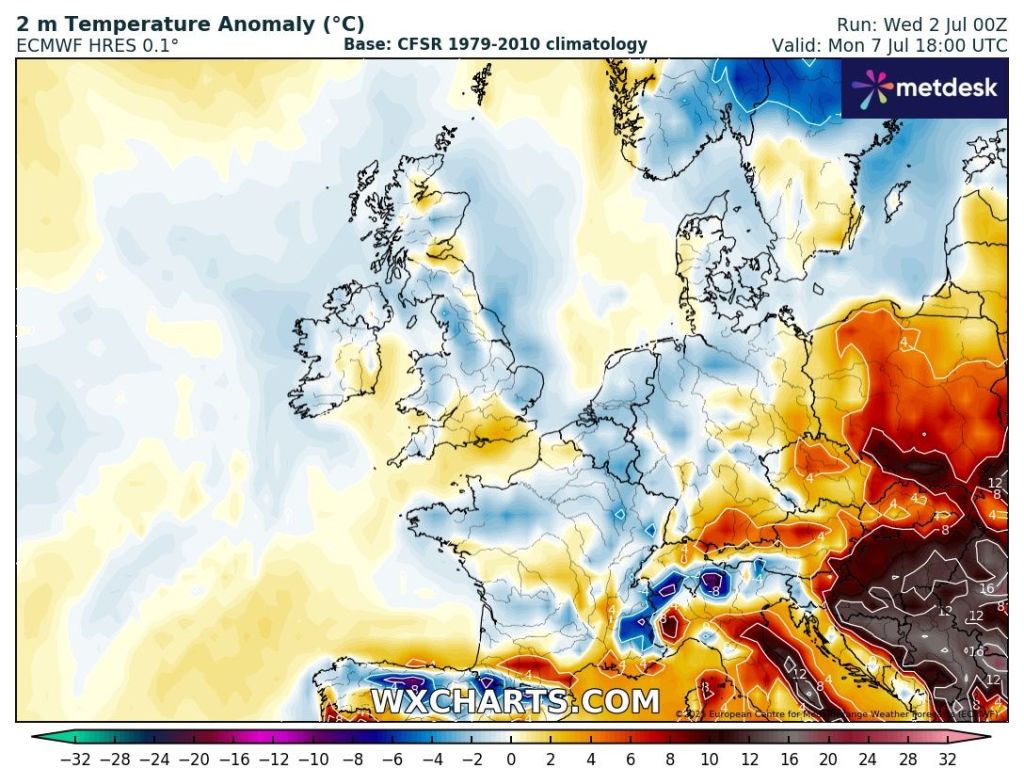
There are signs of something more unsettled early next week then hopefully after that summer-like conditions return.
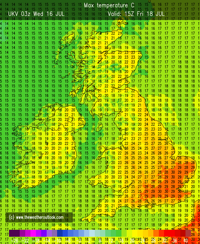
Thursday: Mostly cloudy to start, with a few showers in the south and west. These will move away quickly and then it will be a day of bright spells and a few scattered showers with more in the way of sunshine later in the day. Quite a keen northwesterly breeze. Max 20°C Min 12°C Max Gusts 25mph
Friday: Bright or sunny spells and the odd shower. A north to northwesterly airflow so not as muggy. Max 19°C Min 12°C Max Gusts 25mph
Weekend: Sunnier on Saturday.
Saturday: Mostly dry with plenty of sunny spells developing. Again, a fresh breeze and still the low chance of an isolated shower early on. Max 20°C Min 13°C Max Gusts 20mph
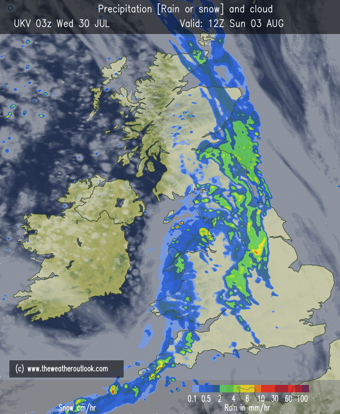
Sunday: Any bright spells soon fading as cloud thickens from the northwest bringing a spell of rain, some heavy which will turn patchy after midday. Feeling more humid once again. Max 20°C Min 13°C Max Gusts 15mph
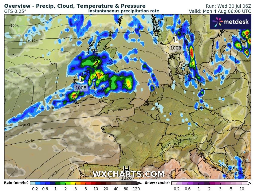
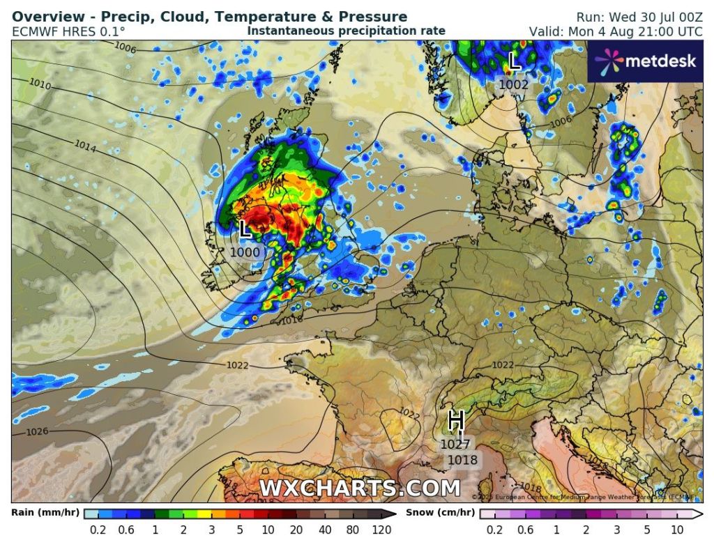
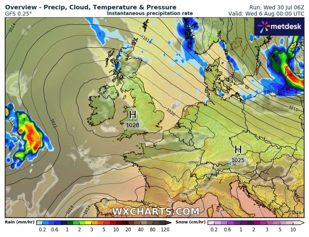
Outlook: At this stage Monday and into Tuesday looks unsettled with details uncertain. After that high pressure should build in bringing warmer sunnier days but how long it lasts is the question.
Thanks for reading as always.
Follow @ChadWeather on X and Bluesky for updates and warnings.
Cheers,
Jon
Forecast Issued: Wednesday the 30th of July 2025 at 6:50pm
Images: http://www.wxcharts.com & http://www.theweatheroutlook.com