Hi all,
That’s a wrap. Summer 2025 is coming to an end and it’s been a decent one at that, although gardeners and greenkeepers would certainly have wanted more in the way of rain.
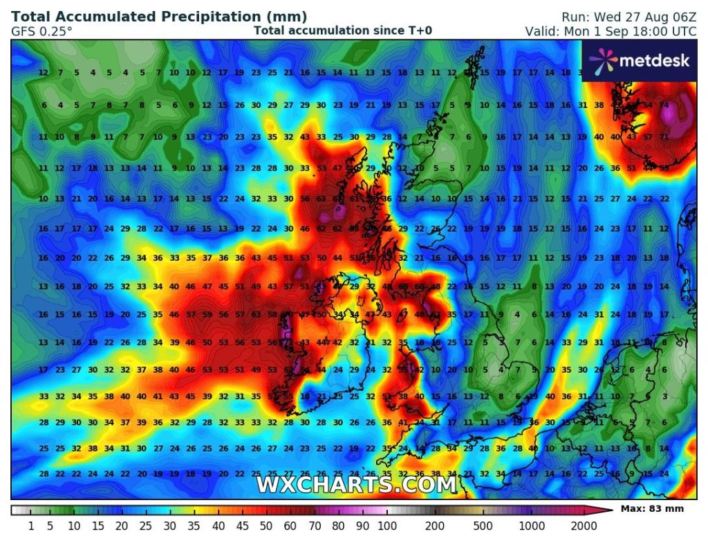
Meteorologically-speaking autumn begins on Monday and the beginning of September looks set to continue the theme that we are going to end August with, and that is unsettled conditions and bands of showery rain at times. So welcome rain is coming.
We do tend to see a very warm spell in September but at the moment there is no sign of this happening, and remember this is not called an Indian Summer. This is saved for later in the year when temperatures rise to summer values.
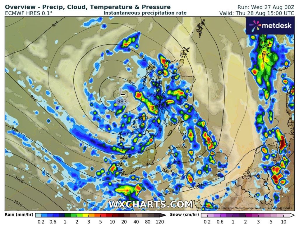
Thursday: A day of bright spells and bands of showers driven along by a brisk southwesterly wind. As the day progresses, the showers are expected to become quite frequent and could be thundery at times. Max 18°C Min 11°C Max Gusts 25mph

Friday: A bright start with some sunny spells but again convection will get going and showers will break out, possibly heavy with hail and thunder. Max 18°C Min 11°C
Weekend: Unsettled and rain at times.
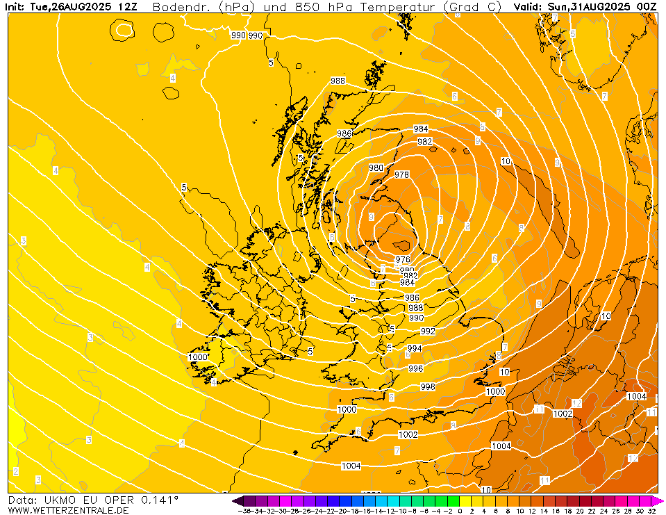
Saturday: It could well start dry but cloud will soon thicken as an area of low pressure brings heavy rain. This could well turn out to be a deep low, and depending on its track, we could well see a warning issued and perhaps a named-storm. This rain will turn showery later as the low pushes away. A disappointing afternoon looks likely. Max 17°C Min 11°C Max Gusts 40mph


Sunday: Bright spells and showers. Not as many showers as they become more confined to the west. Still windy. Max 17°C Min 10°C Max Gusts 25mph
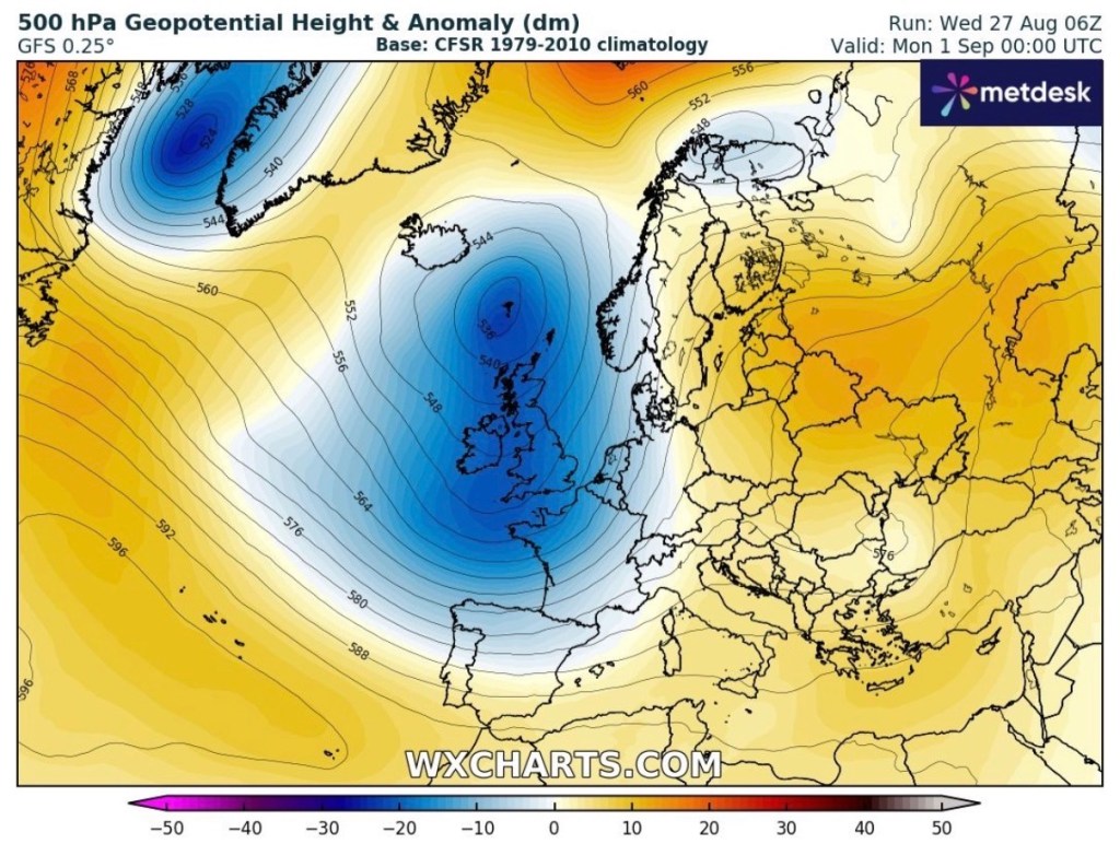
Outlook: The Jet Stream will remain in charge of our weather for the majority of next week. So we will see further unsettled conditions. Bands of showers or longer spells of rain with bright or sunny spells in between low pressure systems. Just a hint towards the end of the week of us returning to a more settled pattern with temperatures around or just above average.


Follow @ChadWeather on X and Bluesky for the latest forecasts and warnings.
Thanks,
Jon
Forecast Issued: Wednesday the 27th of August 2025 at 2:20pm.
Images: http://www.wxcharts.com & http://www.weatherzentral.de
