
Hi all,
After a very wet September and start to October, high pressure is returning from the west. Initially the high will have some weather-fronts coming over the top of it which will bring frustrating cloud amounts.
Thursday: Any early brightness will fade and cloud will spread in leading to a dull day and feeling a little cool especially in the breeze. Max 16°C Min 11°C Max Gusts 20mph
Friday: Hopefully, more in the way of brightness as the dry weather, with a slight breeze, continues. Cloud will be hard to predict though. Any clear skies overnight leading to patchy mist and fog. Max 16°C Min 7°C
Weekend: Light winds and settled.
Saturday: It should be a nice day with sunny spells after the morning’s mist and fog clears. Light winds aiding mist and fog to form again overnight. Max 16°C Min 8°C
Sunday: Very similar but a notable change to an easterly wind, could drag in some cloud from the North Sea later in the day. Max 16°C Min 8°C
Outlook: High pressure firmly in charge but with a northeasterly or easterly setup, it could well be a disappointing few days with cloud dragged in from the east being trapped under the high pressure leading to cool-feeling days and some localised drizzle. We could well see some inversions in place, so heading up high to see the sunshine could well be the plan.
Temperatures remain similar. Later in the week a shift to a southeasterly airflow and drier air will hopefully bring more in the way of sunshine as the high pressure stays firm and the lack of significant rain continues.
Follow @ChadWeather on X and Bluesky for the latest forecasts and warnings.
Thanks,
Jon
Forecast Issued: Wednesday 8th October 2025 at 1:58pm
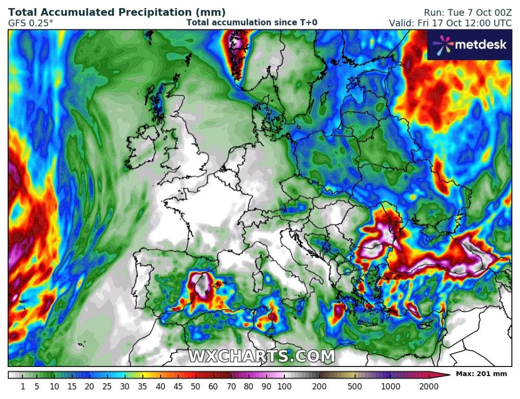
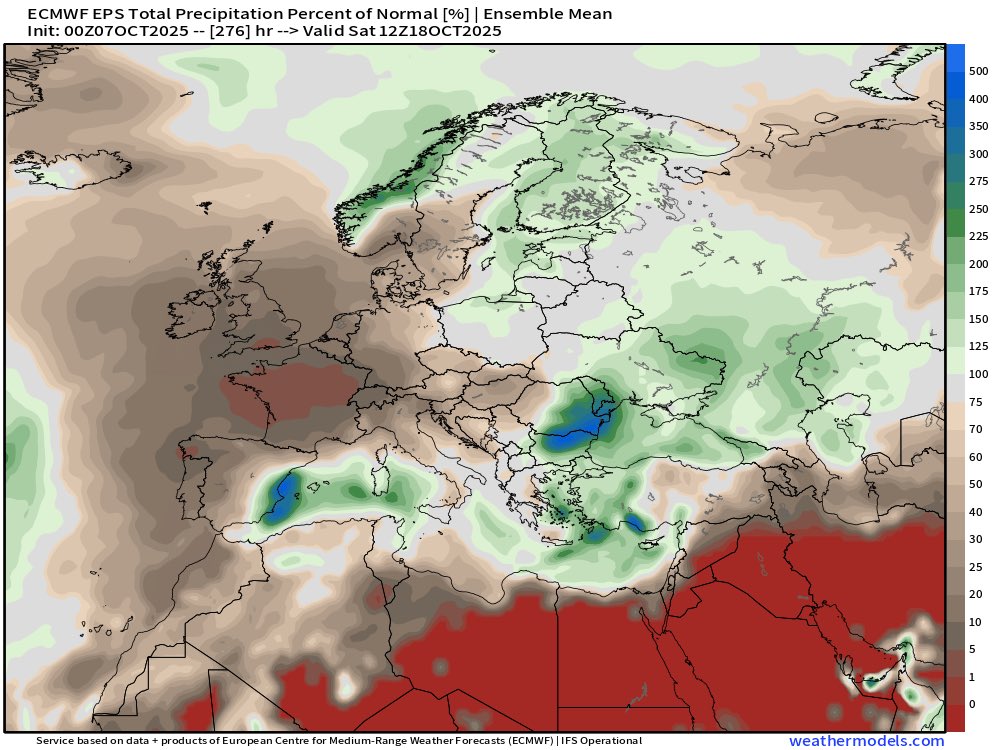
Images: http://www.wxcharts.com & http://www.weathermodels.com
