
Hi all,
Another named-storm will affect the UK on Thursday, this time named by Meteo France. At the time of writing there is still a little bit of uncertainty on its track. What does this mean for us?
We will see some rain from the low pressure system, as its northwestern edge affects the region. As the low starts to pull away, we will also see an increase in wind speed, nothing unusual for the time of year with winds gusting to around 30 to 40mph. Most of the rain will soon turn showery and with the low pressure moving away into the North Sea, this means a colder northerly airflow will slowly set in during the days that follow.
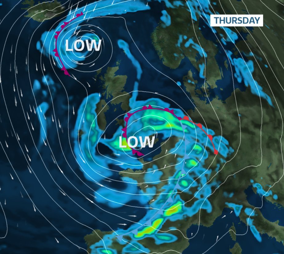
Thursday: Heavy rain early on, clearing as Storm Benjamin moves east. Winds strengthen from the northwest with showers. Max 10°C Min 5°C Max Gusts 35mph
Friday: Breezy with sunshine and scattered showers, some heavy. Overnight may bring a ground-frost in sheltered parts. Max 10°C Min 5°C Max Gusts 20mph
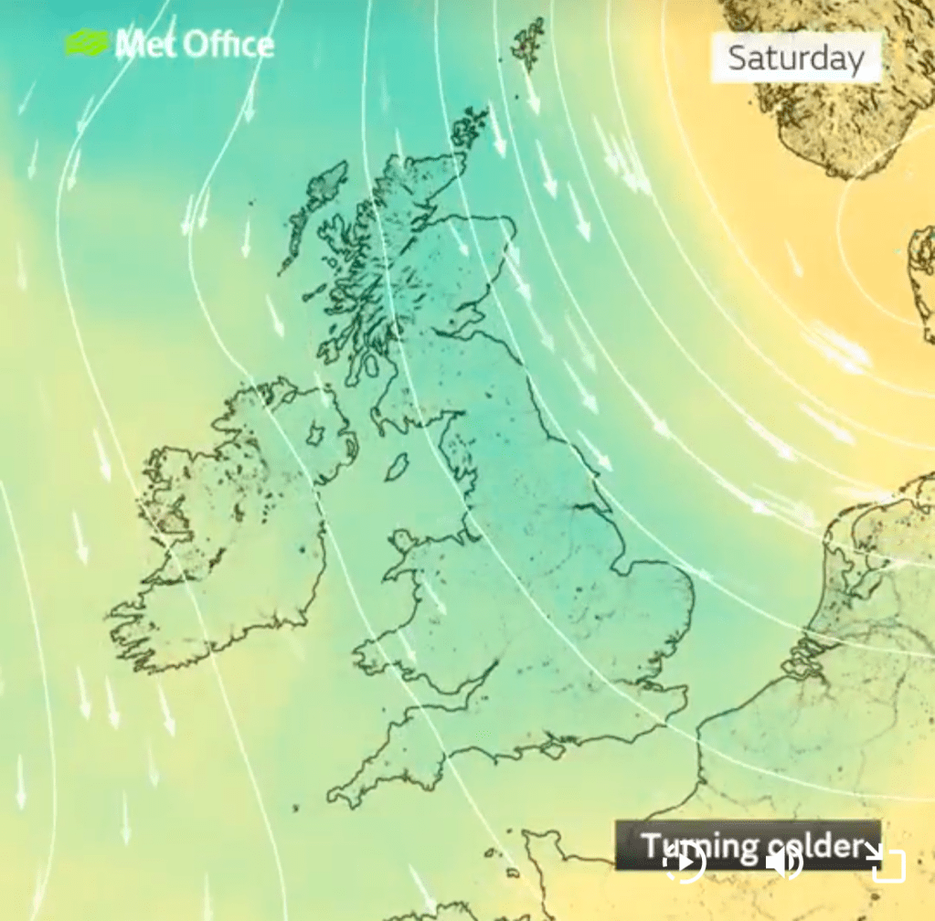
Saturday: Strong northerly winds will make it feel cold despite sunny spells. A few showers possible but these decaying overnight where it will turn cold with a touch of frost in places. Max 9°C Min 2°C Max Gusts 30mph
Sunday: Bright start, then cloud and showery rain from the northwest. Still breezy. Milder air returning. Max 10°C Min 8°C Max Gusts 25mph
Outlook: High pressure will settle the weather down for a couple of days before it turns unsettled at times again and much milder. Temperatures could well make the mid-teens.
Follow @ChadWeather on X and Bluesky for the latest forecasts and warnings.
Thanks,
Jon
Forecast Issued: Wednesday the 22nd of October 2025 at 6:30pm
Images: ITV Weather, http://www.wxcharts.com & The Met Office.
