Hi all,
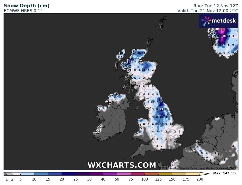
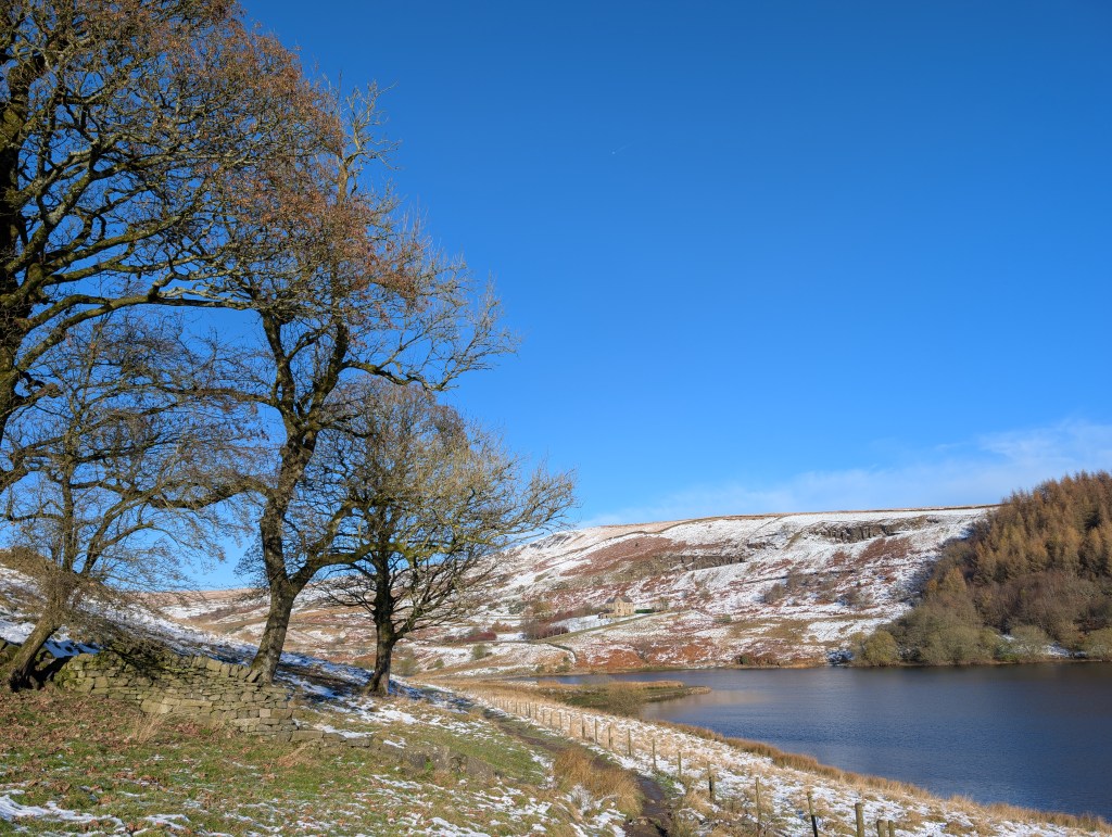
After a very dry first half of November, things have turned much colder this week and our first taste of winter arrived before the season has even started. We saw some snow on Monday night which was mostly wet-snow but it gave several cms in places and it’s remained on the hills as temperatures have struggled to only a few degrees above freezing.
It’s set to stay much colder-than-average for the majority of this week with a chance of some snow showers on Wednesday and Thursday night, especially so the latter. This could give another dusting in places.
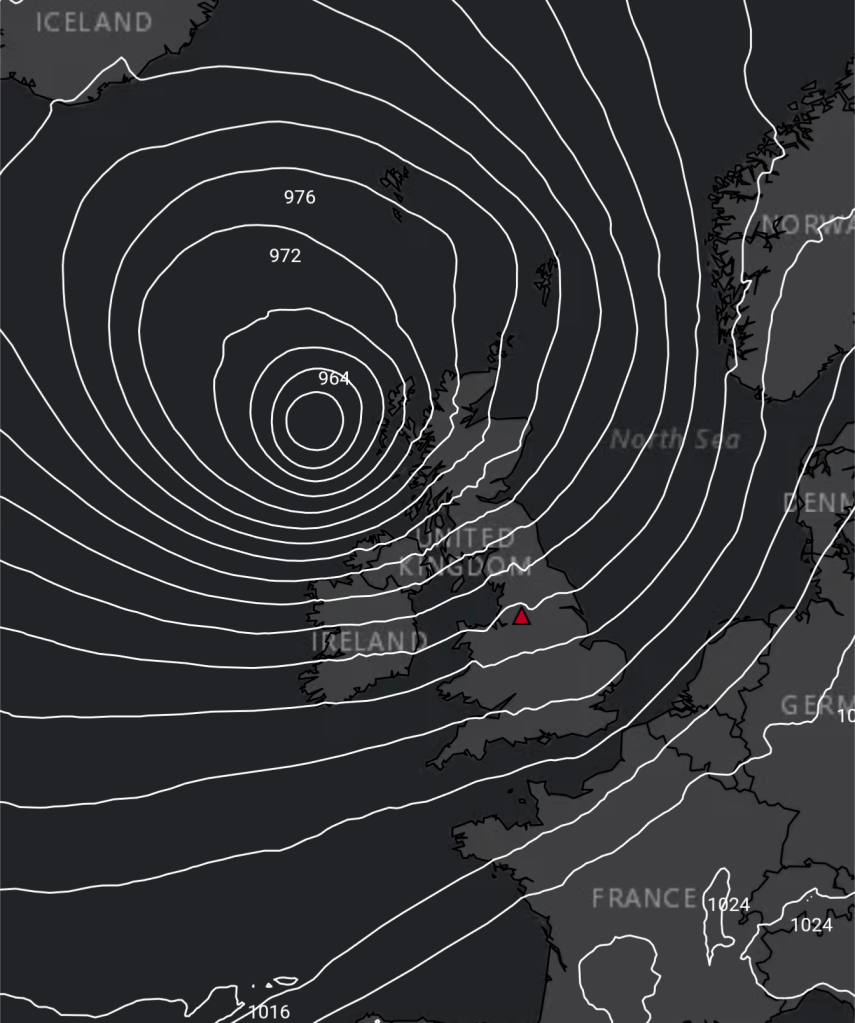
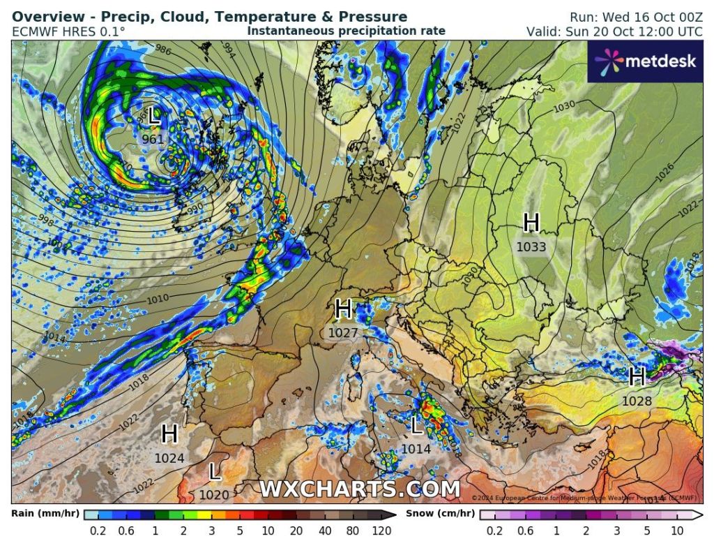
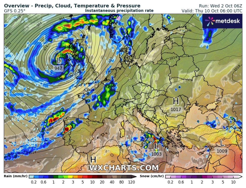
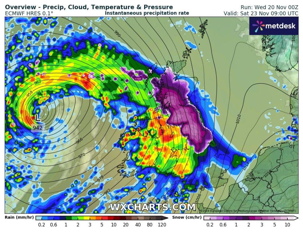
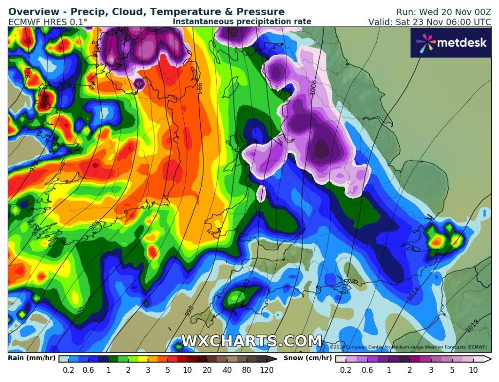
The weather is all set to change as we head into the weekend as a deep area of low pressure takes control from the Atlantic bringing strong winds and rain, preceded by some snow. Temperatures will creep up and we will be back into double-digits later on Saturday and into Sunday.
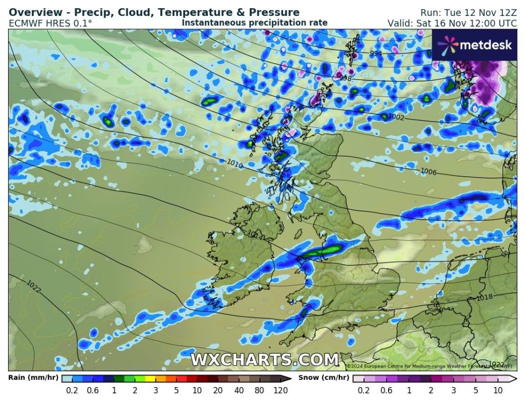
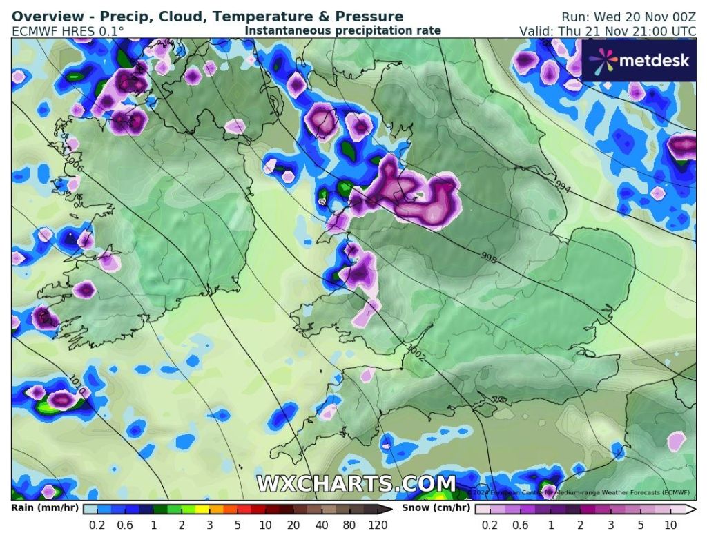
Thursday: Very cold and not as sunny as recently, as we drag in some cloud from the Irish Sea. This cloud could produce some wintry showers during the day, but there is a more active setup into the evening with a trough favoured to bring some sleet and snow showers. Several cms of snow can’t be ruled out even in low-lying areas before the showers turn more sleety later on. There is a bit of uncertainty around this trough, so look out for my posts during Thursday. Max 3°C Min -2°C
Friday: Sunny spells, with the odd wintry shower decaying away. Cloudy later as that change from the Atlantic begins. Max 4°C Min -1°C
Weekend: Turning milder but wet and windy after early snowfall.
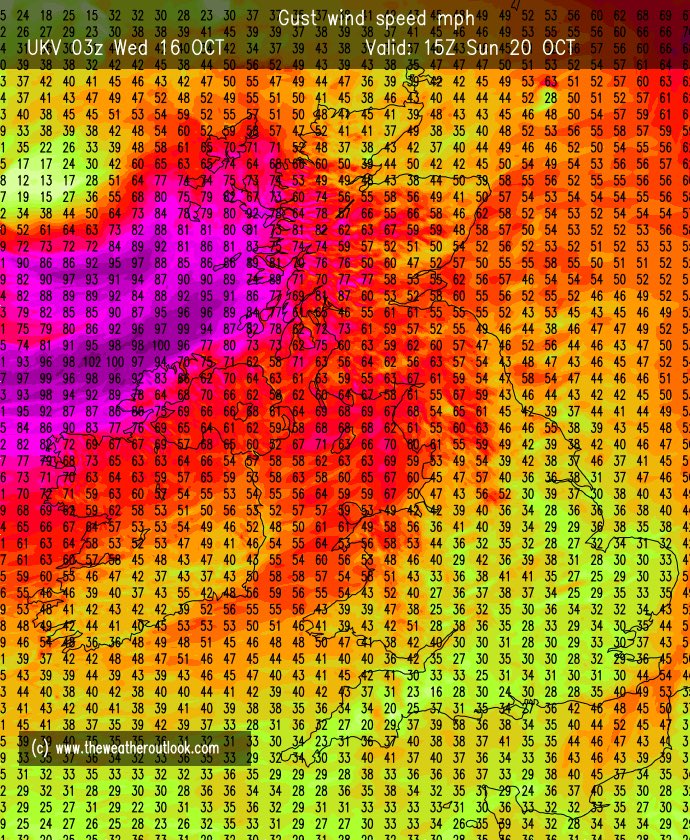
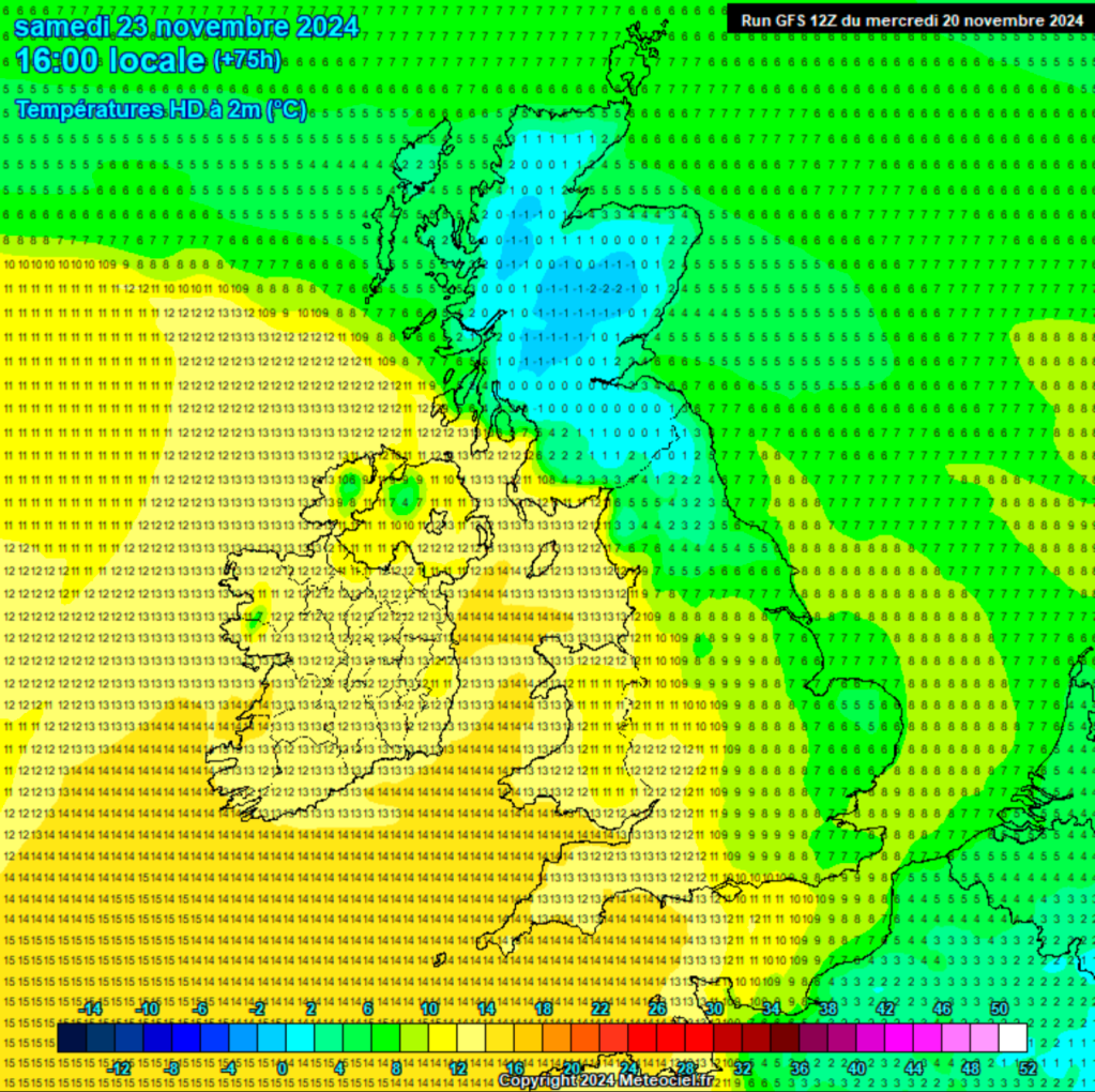
Saturday: Snow is possible for a time in the morning, especially on higher ground. But soon the snow will turn back to rain and it will become very windy {possible named-storm}. The heavy rain will give way to hefty showers. It will be a slow process but much milder into the late-evening. Gusts to 50mph during the day can’t be ruled out so a warning for wind might be issued. Max 11°C Min 9°C
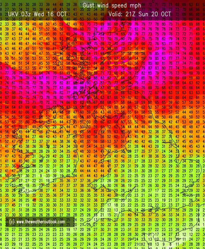
Sunday: Remaining very windy with sunshine and showers. Very mild. Max 12°C Min 7°C
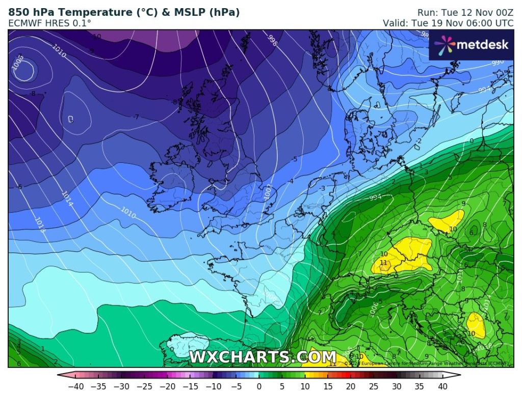
Outlook: Still windy on Monday with showers. The low pressure then moves away into the North Sea and a brief ridge of high pressure will build and it will turn cooler once again for a couple of days but with some welcome sunny spells. Later in the week, low pressure will return, introducing milder conditions again with southwesterly winds, but also some periods of rain or showers. No snow is expected next week.
Follow @ChadWeather on X for the latest forecasts and warnings. I am also on Bluesky so you can also follow there.
As always, thanks for reading.
Thanks,
Jon
Forecast Issued: Wednesday the 20th of November 2024 at 5:06pm.